Skatalogowana mapa
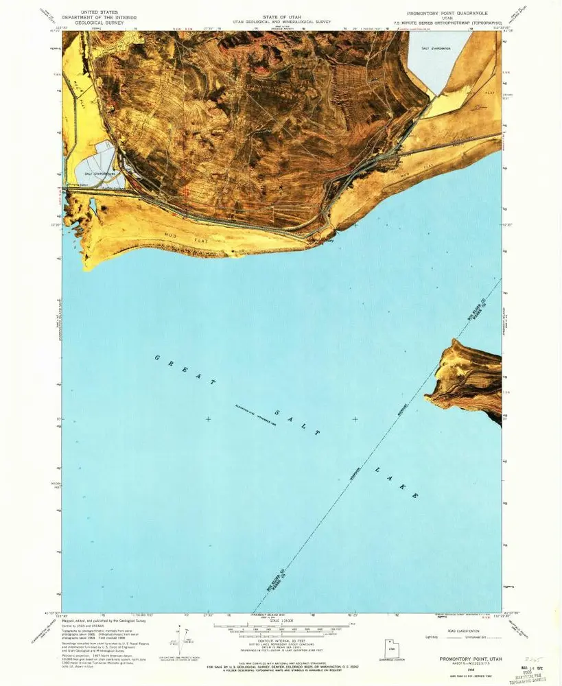
Promontory Point

Instytucja:United States Geological Survey
Pełny tytuł:Promontory Point
Rok ilustracji:1968
Data publikacji:1970
Skala mapy:1:24 000
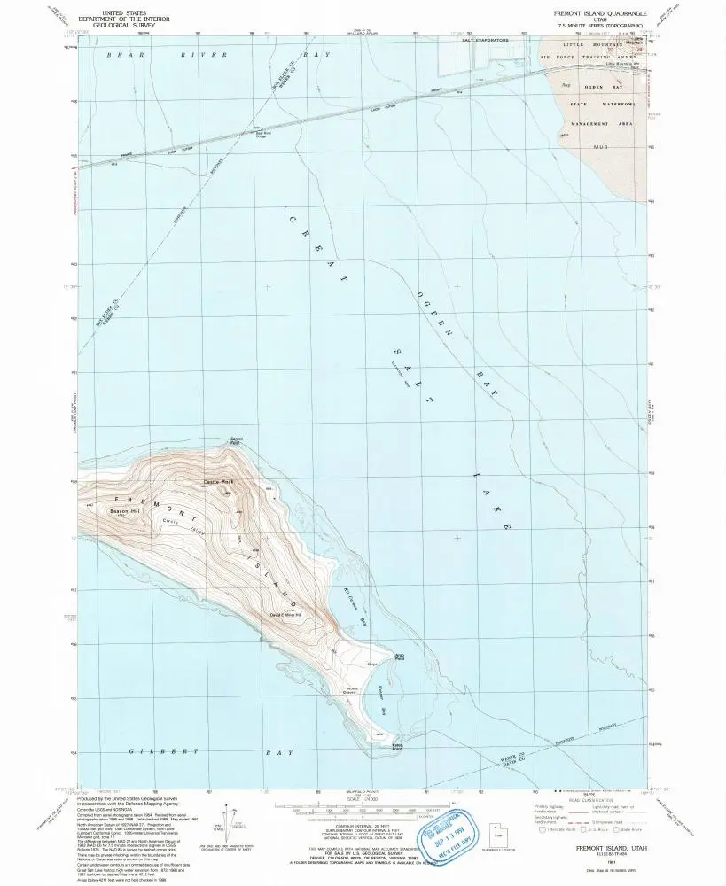
Fremont Island
1991
1:24k
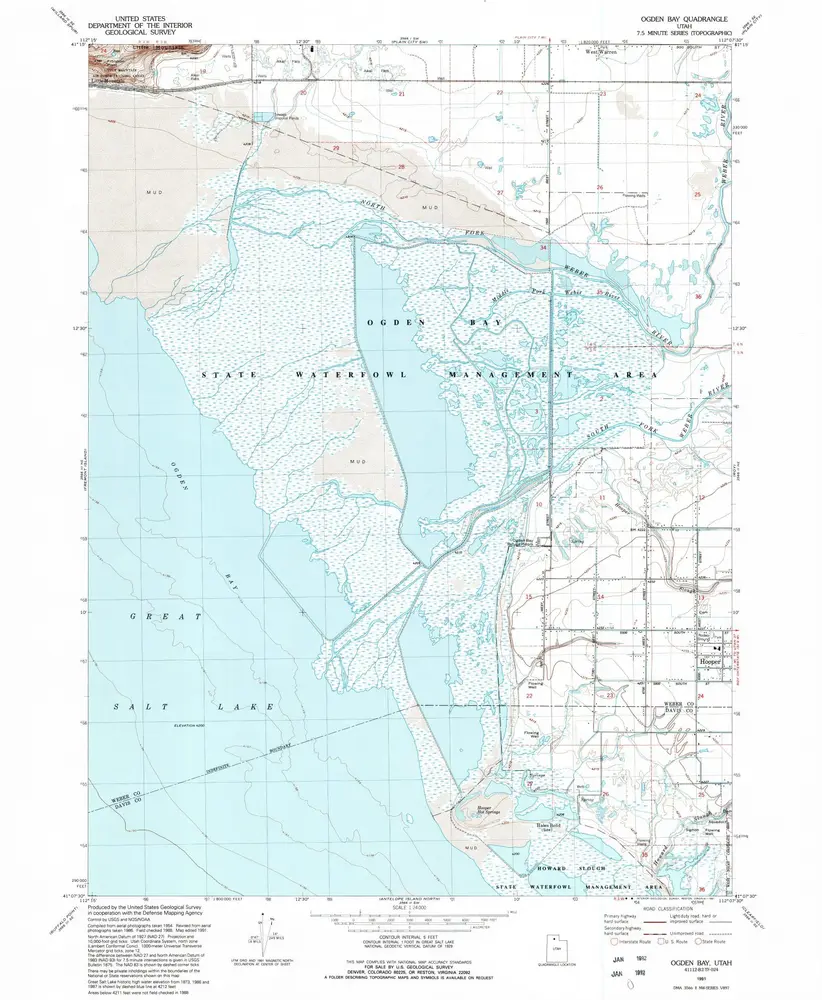
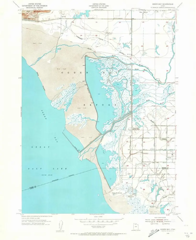
Ogden Bay
1991
1:24k

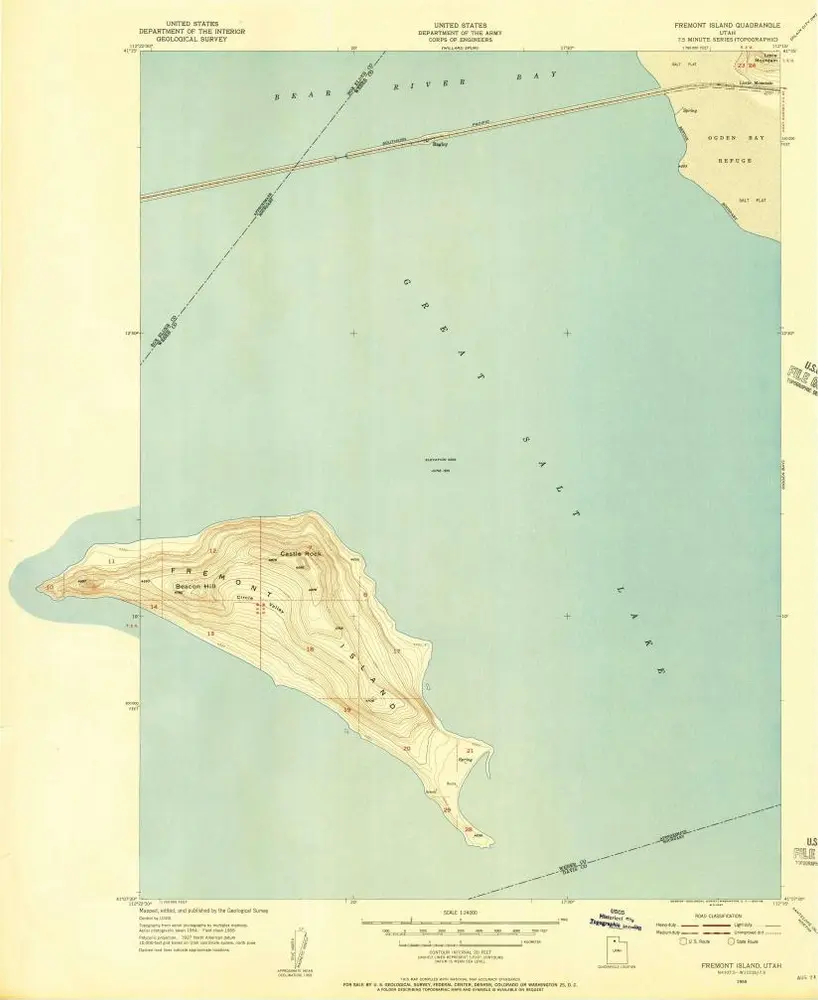
Fremont Island
1972
1:24k
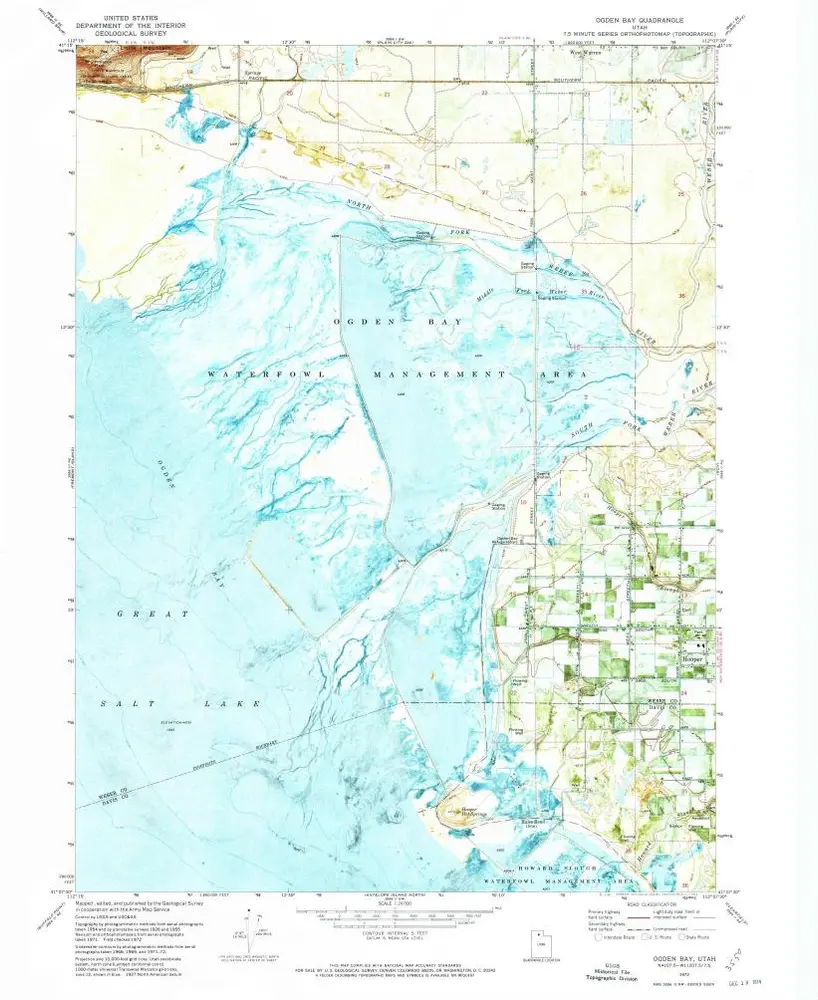
Ogden Bay
1972
1:24k
Fremont Island
1955
1:24k
Ogden Bay
1955
1:24k
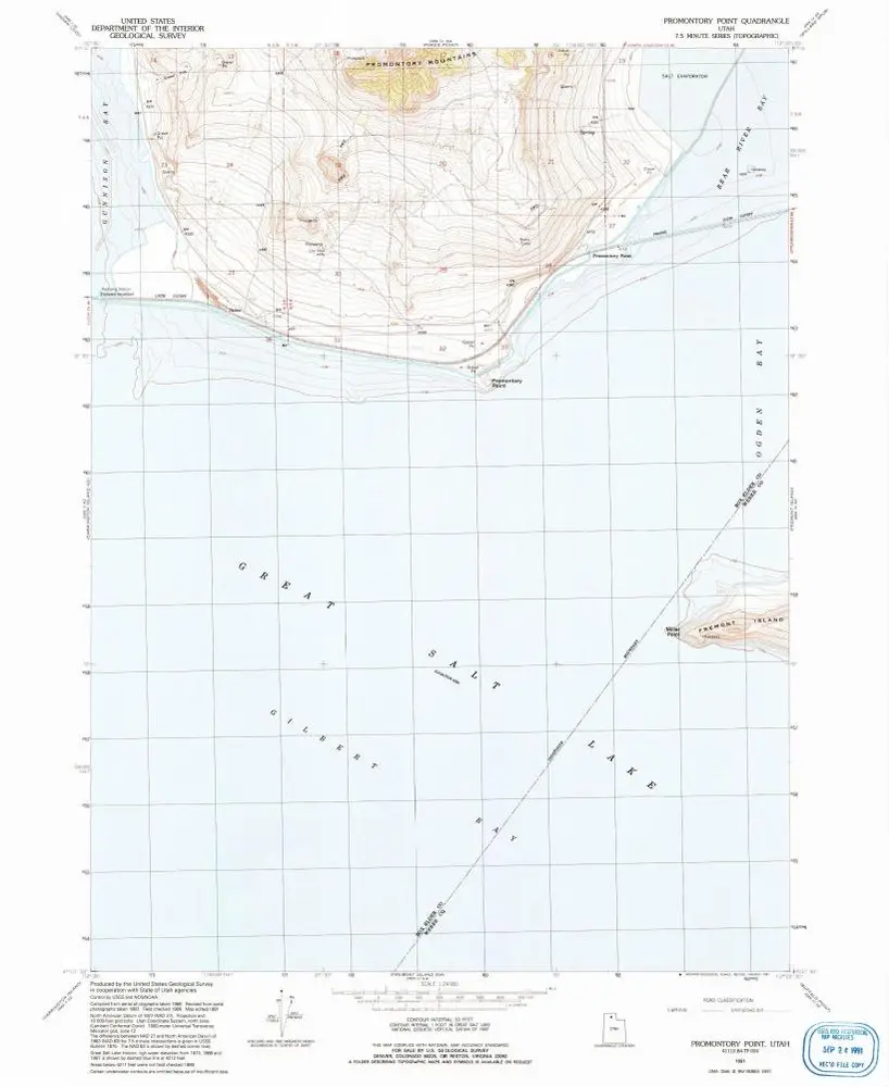
Promontory Point
1991
1:24k
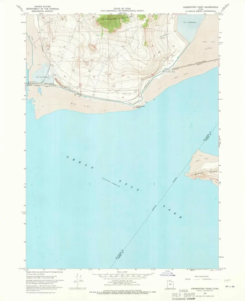
Promontory Point
1968
1:24k
Promontory Point
1968
1:24k
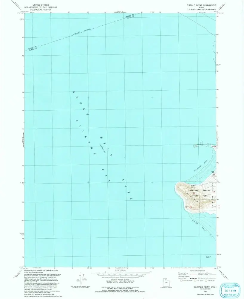
Buffalo Point
1991
1:24k
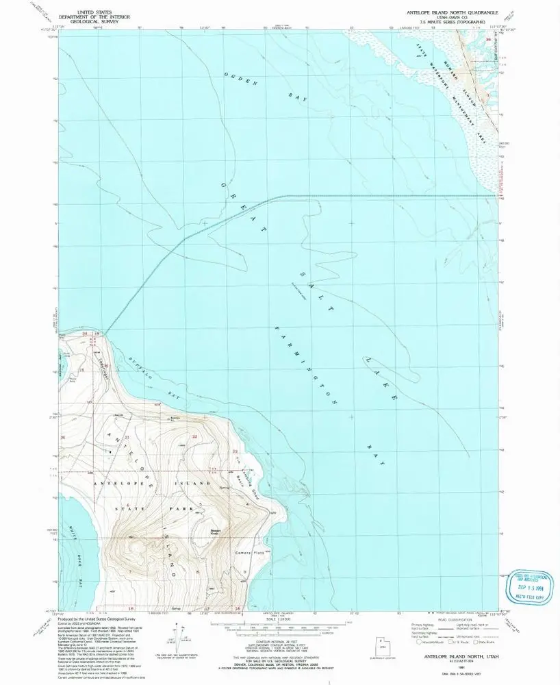
Antelope Island North
1991
1:24k
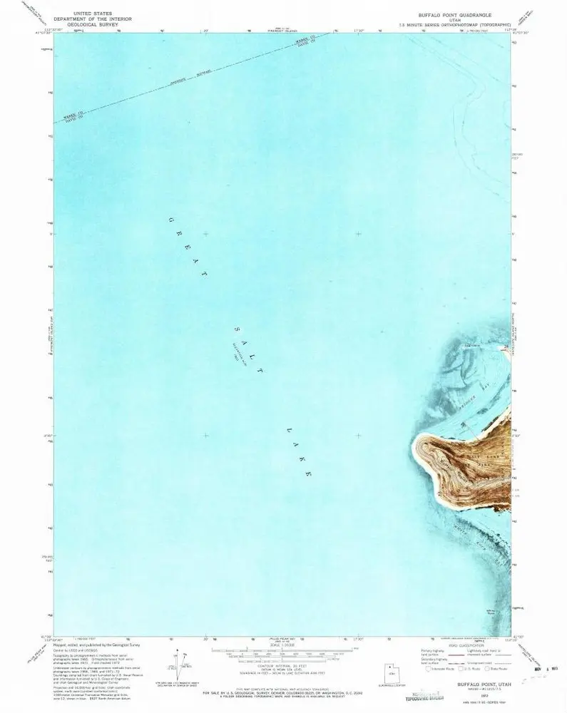
Buffalo Point
1972
1:24k
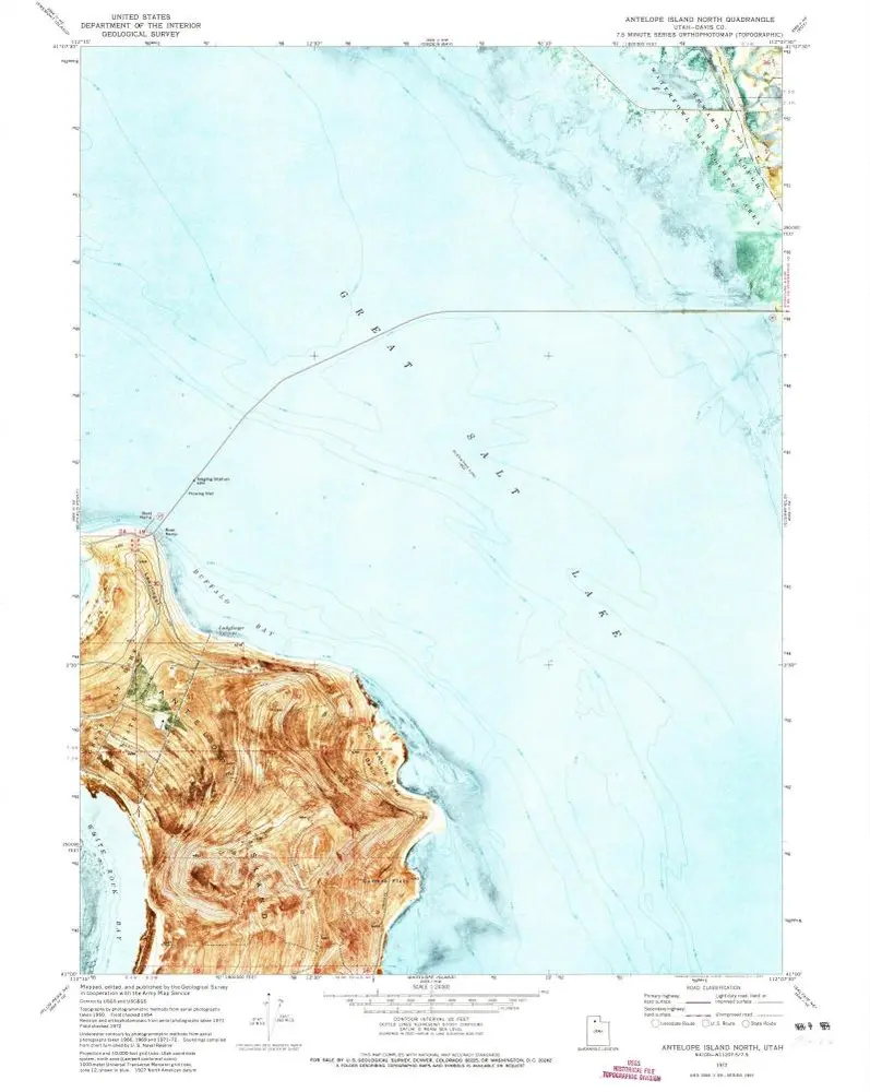
Antelope Island North
1972
1:24k
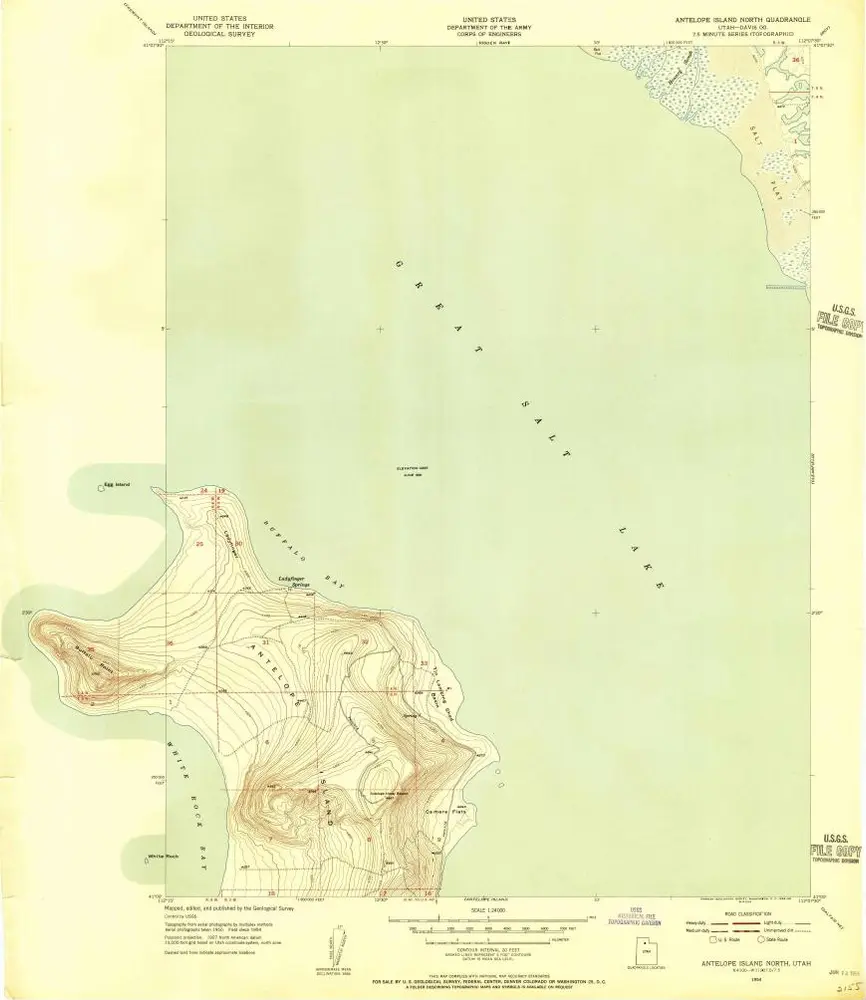
Antelope Island North
1954
1:24k