プロジェクト
コミュニティ
ニュース
私のアプリ
私の地図
Katalogisierte Karte
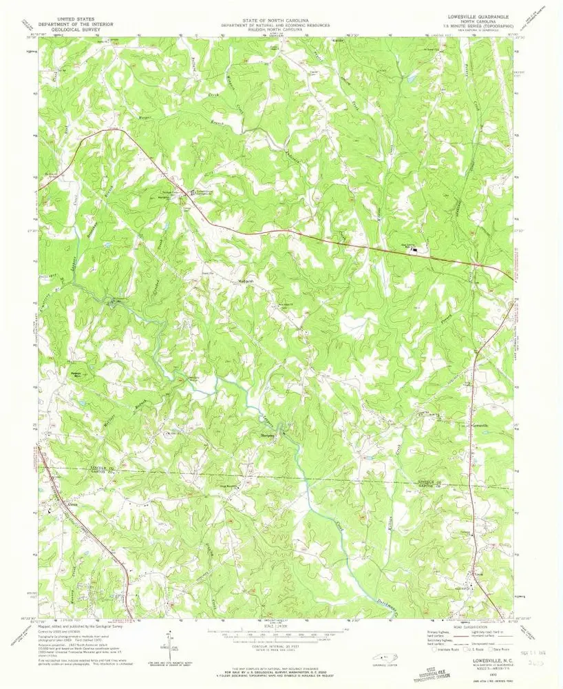
Lowesville
外部サイトで見る
デジタル化されたものを表示
Einrichtung:
United States Geological Survey
Vollständiger Titel:
Lowesville
Jahr der Abbildung:
1970
Veröffentlichungsdatum:
1972
Maßstab der Karte:
1:24 000
Lowesville
1970
1:24k
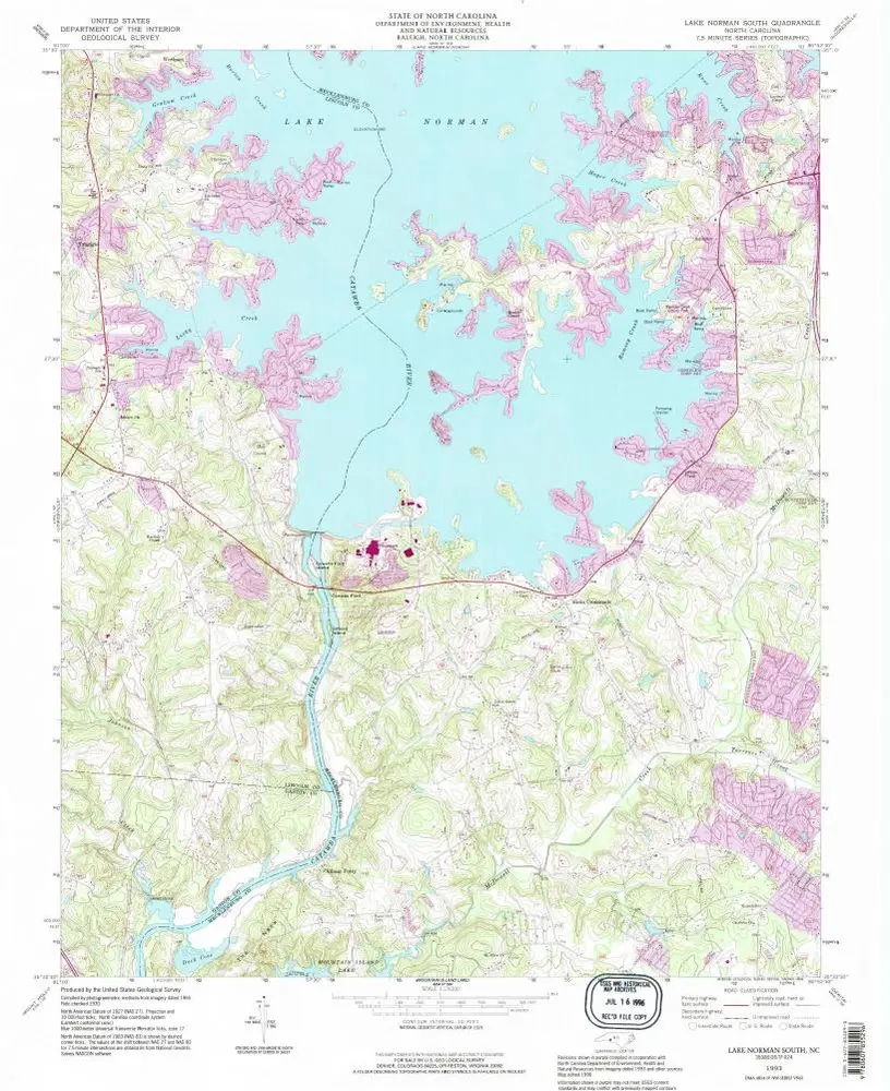
Lake Norman South
1993
1:24k
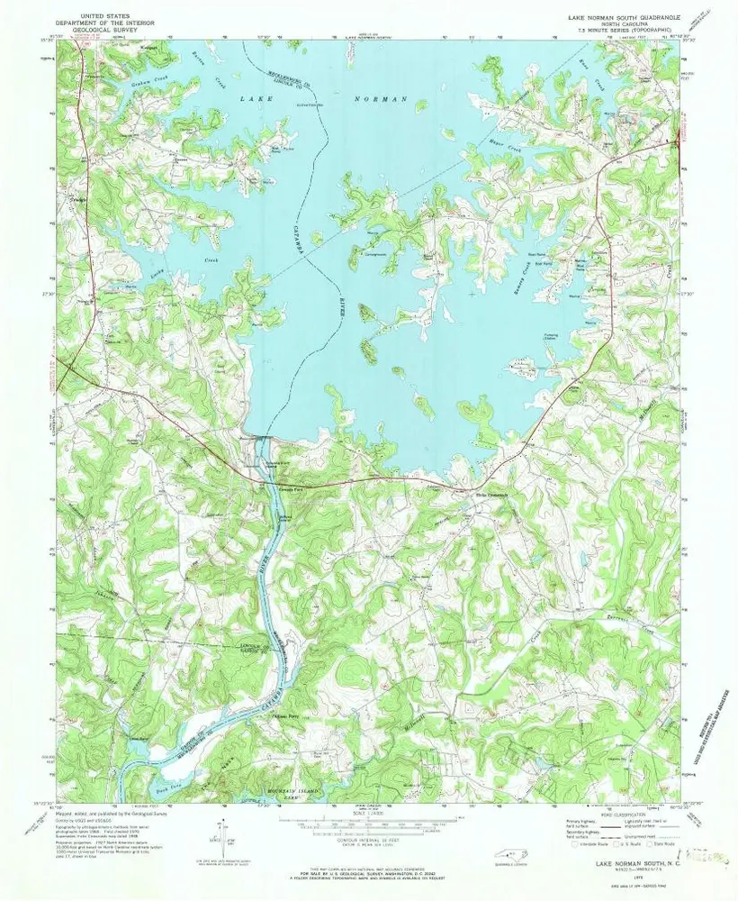
Lake Norman South
1970
1:24k
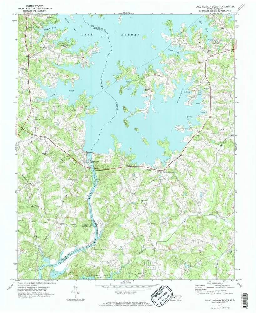
Lake Norman South
1970
1:24k
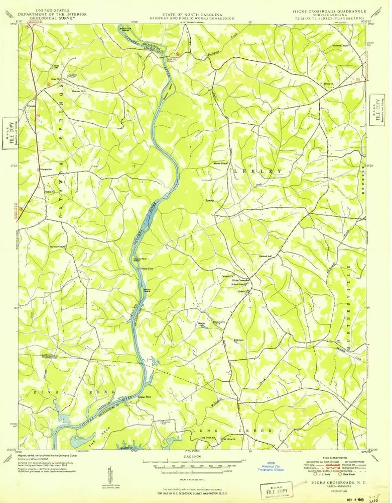
Hicks Crossroads
1949
1:24k
Gastonia
1916
1:63k
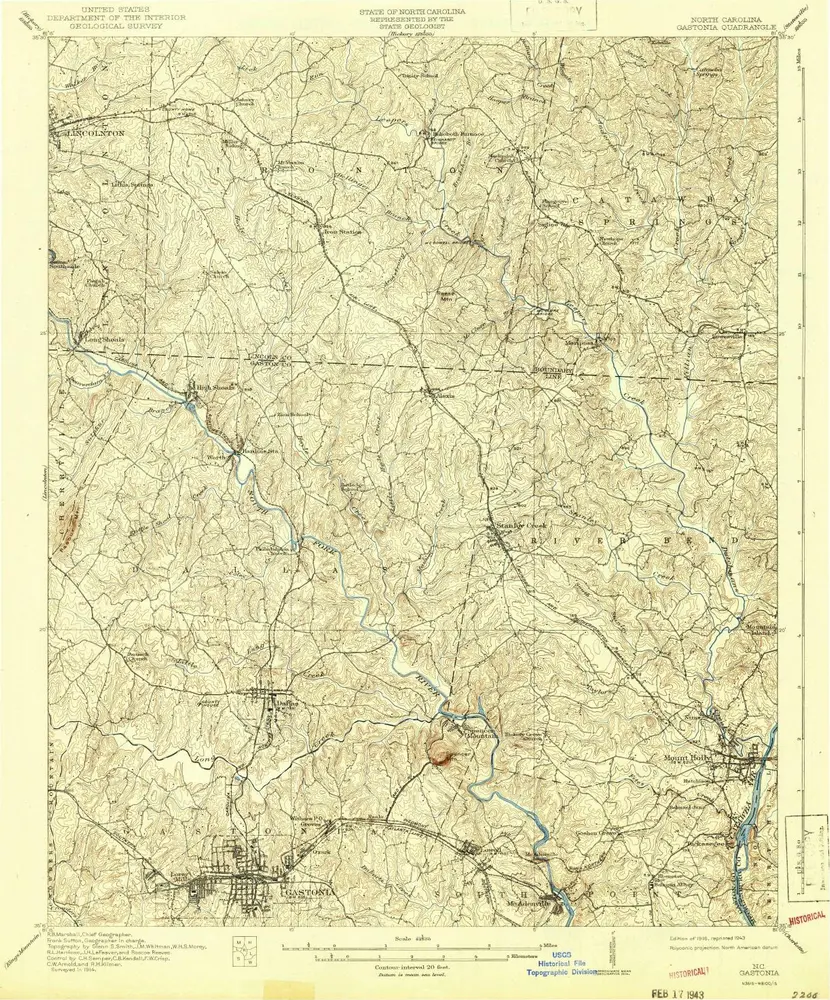
Gastonia
1916
1:63k
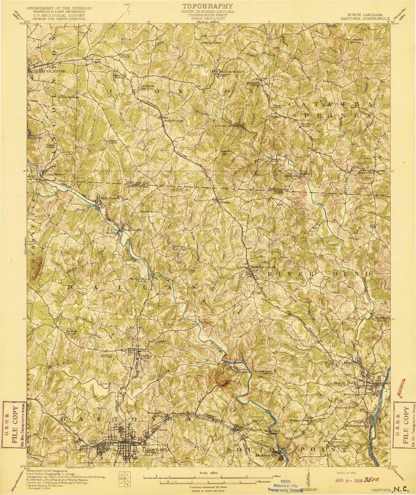
Gastonia
1914
1:63k
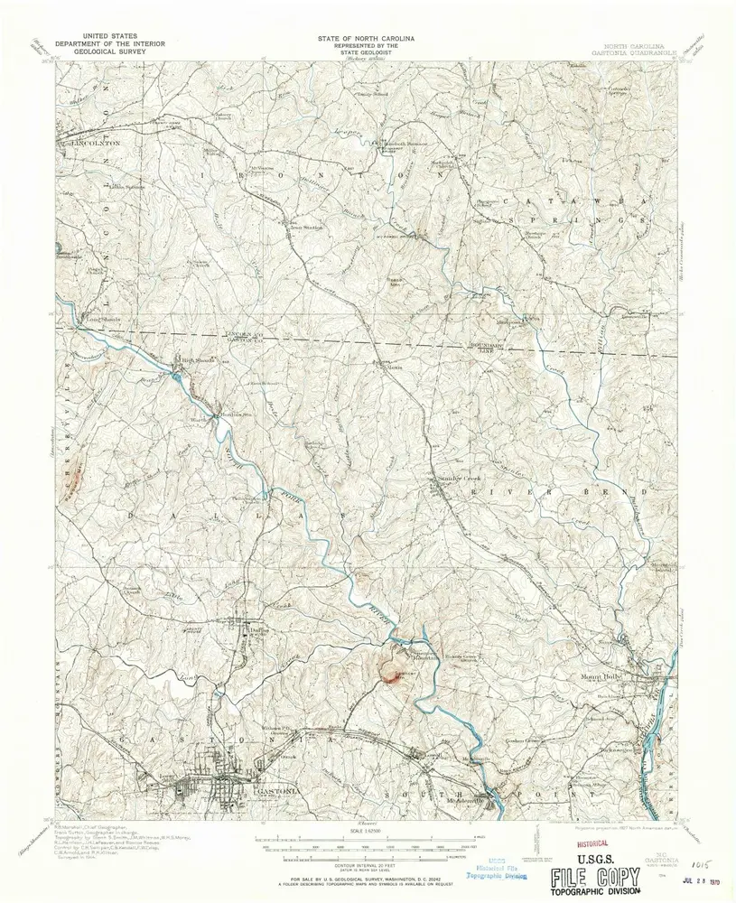
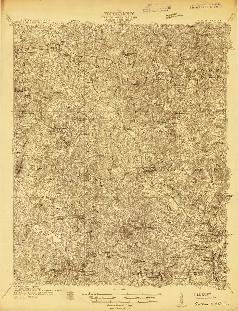
Gastonia
1914
1:48k
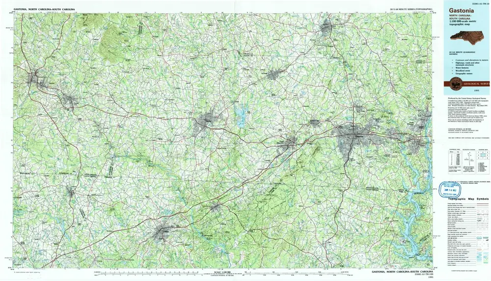
Gastonia
1991
1:100k
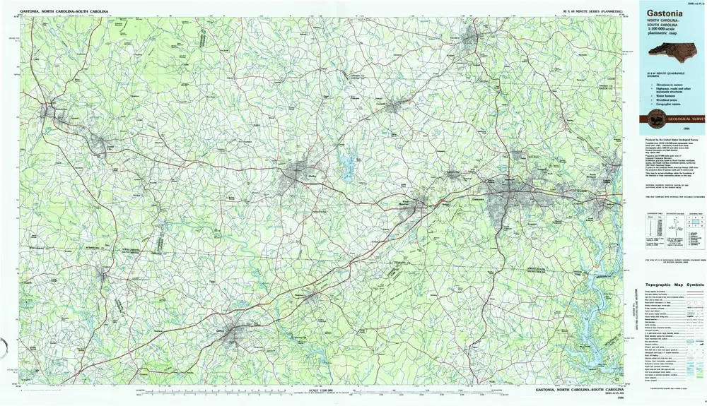
Gastonia
1986
1:100k
Geschichte