プロジェクト
コミュニティ
ニュース
私のアプリ
私の地図
Carte cataloguée
Lawton
外部サイトで見る
Institution:
United States Geological Survey
Titre complet:
Lawton
Année de l'image:
1956
Date de publication:
1976
Échelle de la carte:
1:24 000
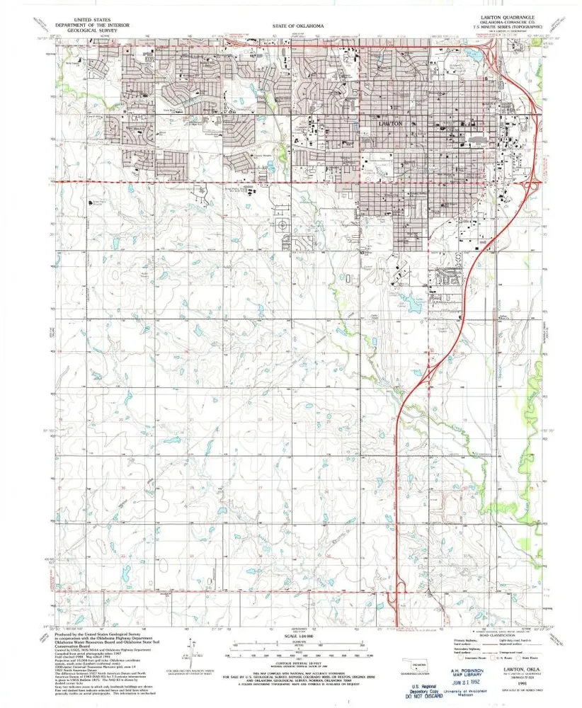
Lawton
1991
1:24k
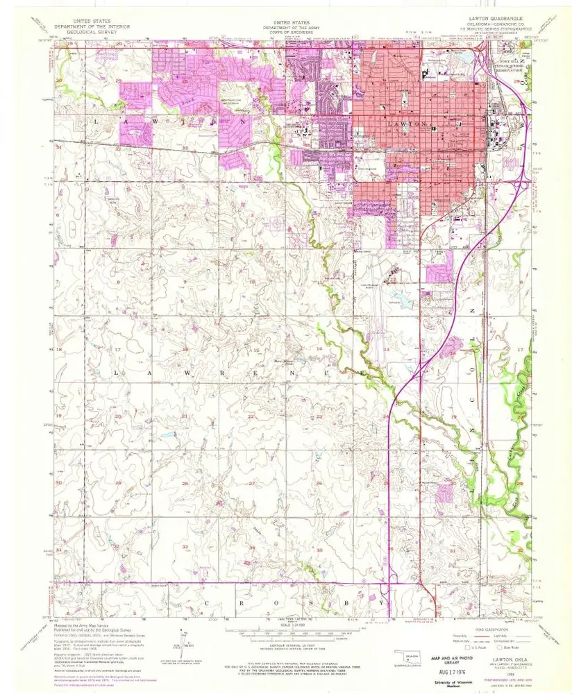
Lawton
1956
1:24k
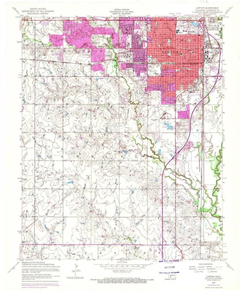
Lawton
1956
1:24k
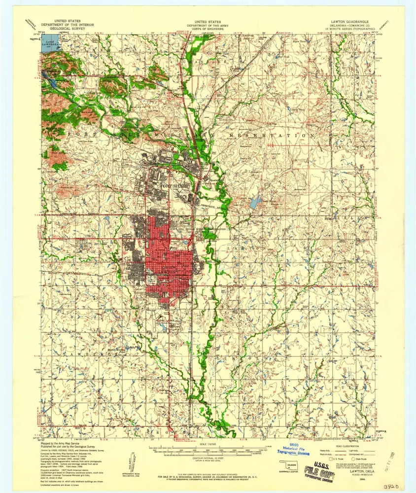
Lawton
1956
1:63k
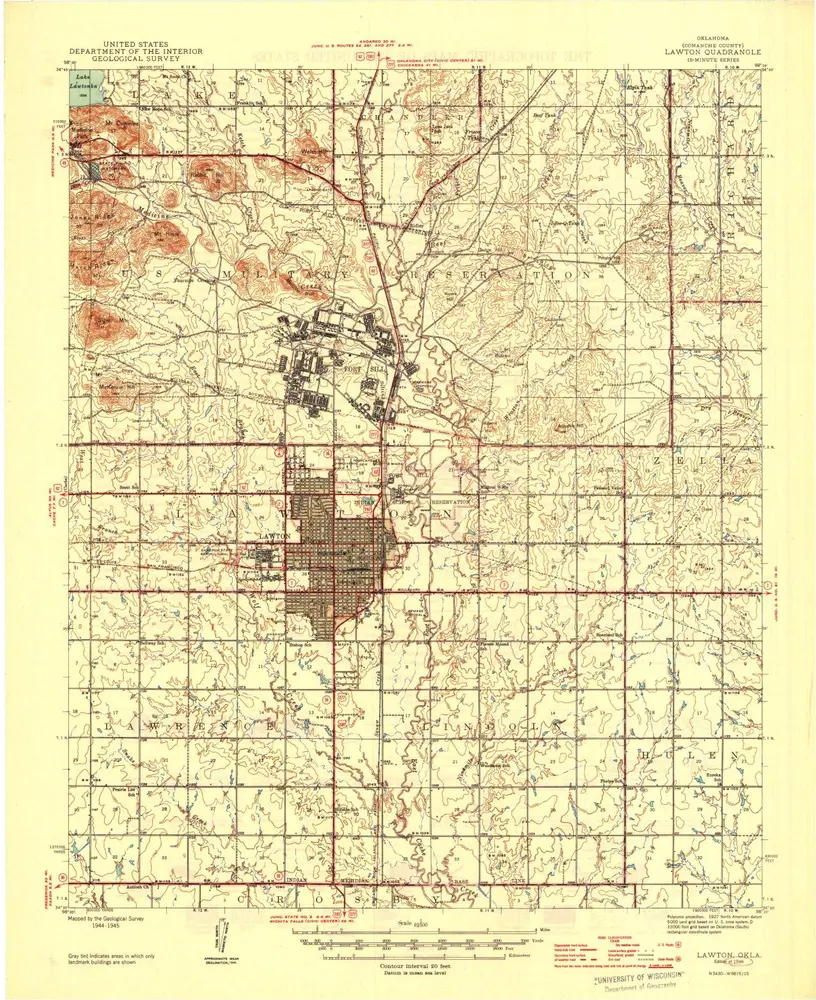
Lawton
1946
1:63k
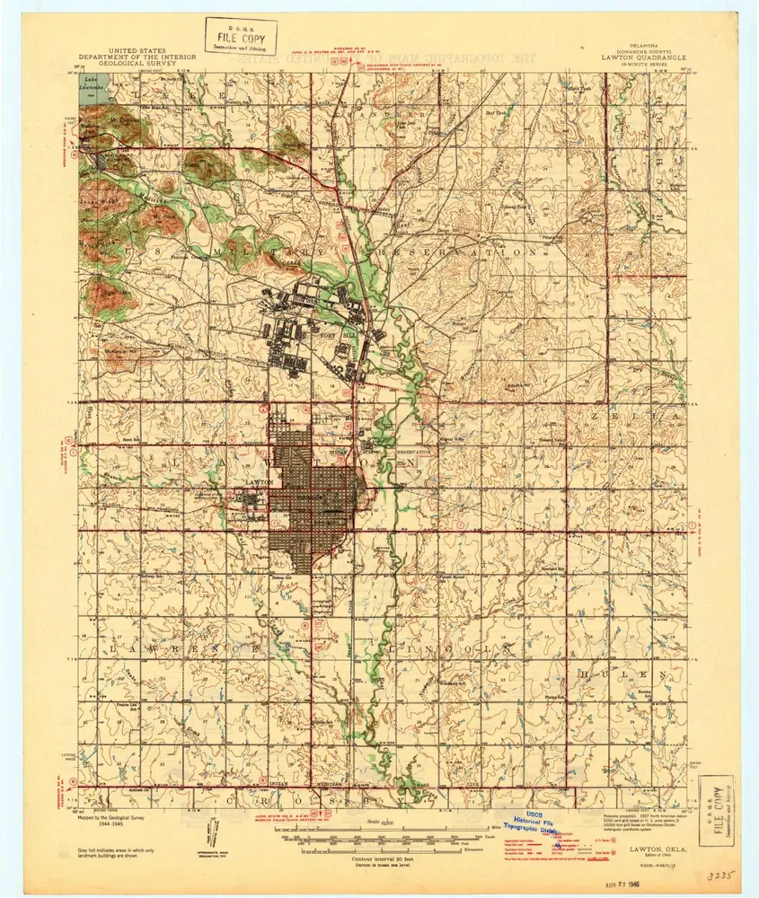
Lawton
1946
1:63k
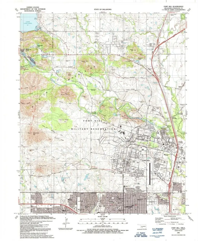
Fort Sill
1991
1:24k
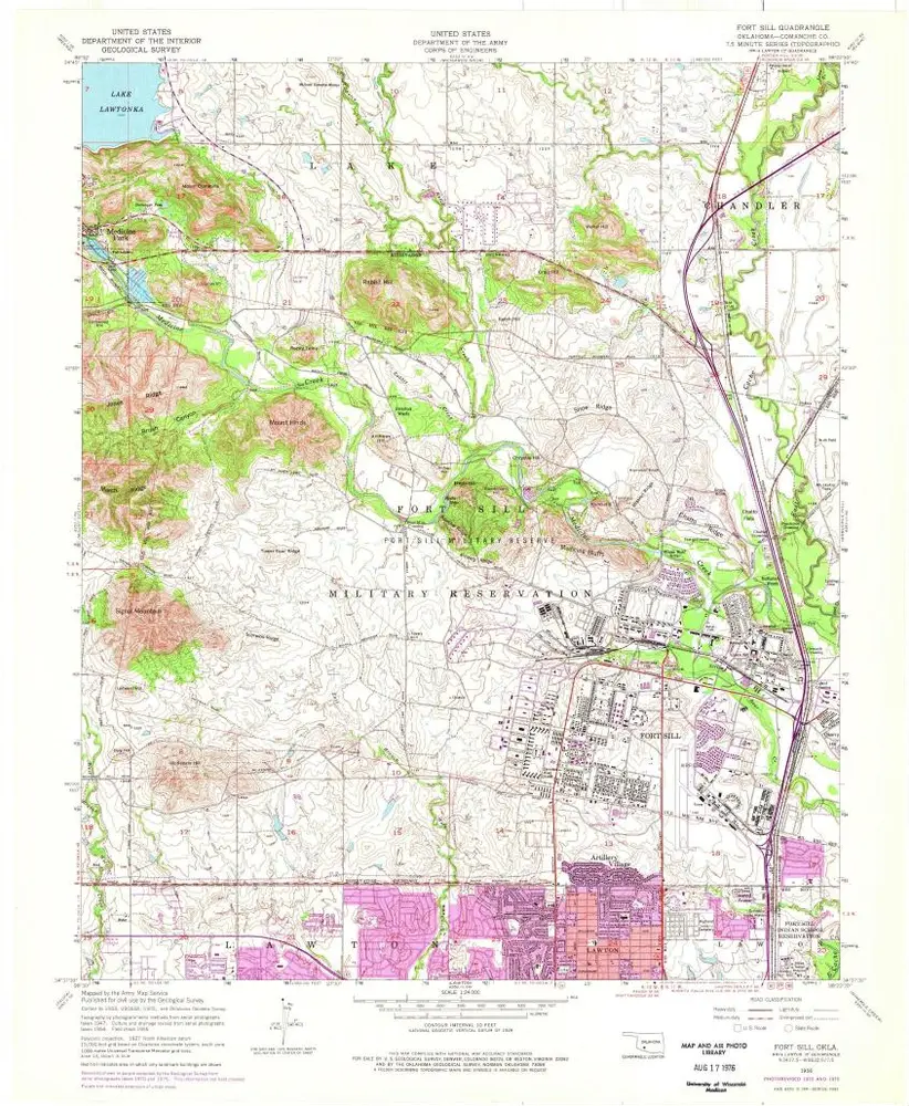
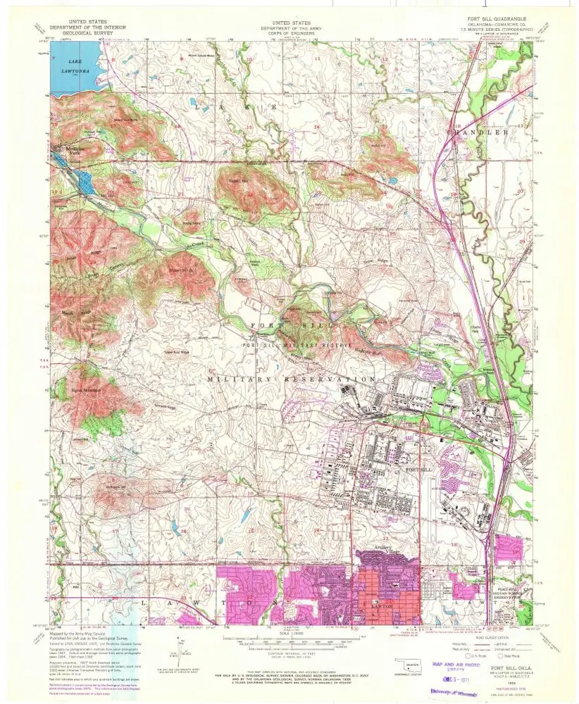
Fort Sill
1956
1:24k
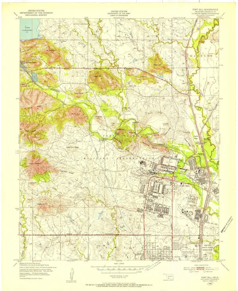
Fort Sill
1956
1:24k
Fort Sill
1949
1:24k
L'histoire