Katalogisierte Karte
Pattonsburg

Einrichtung:United States Geological Survey
Vollständiger Titel:Pattonsburg
Jahr der Abbildung:1948
Maßstab der Karte:1:62 500
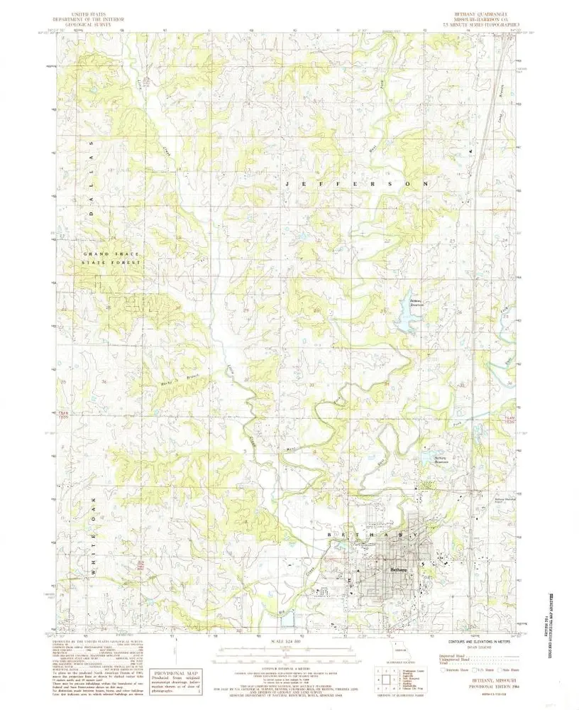
Bethany
1984
1:24k
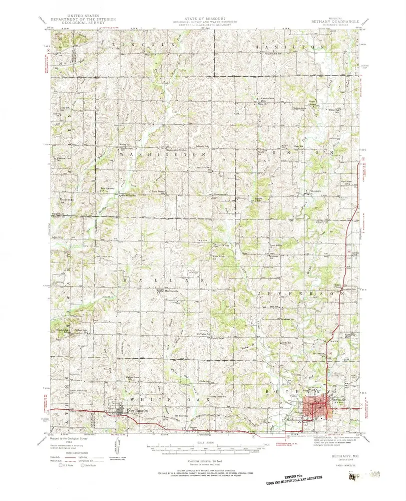
Bethany
1948
1:63k
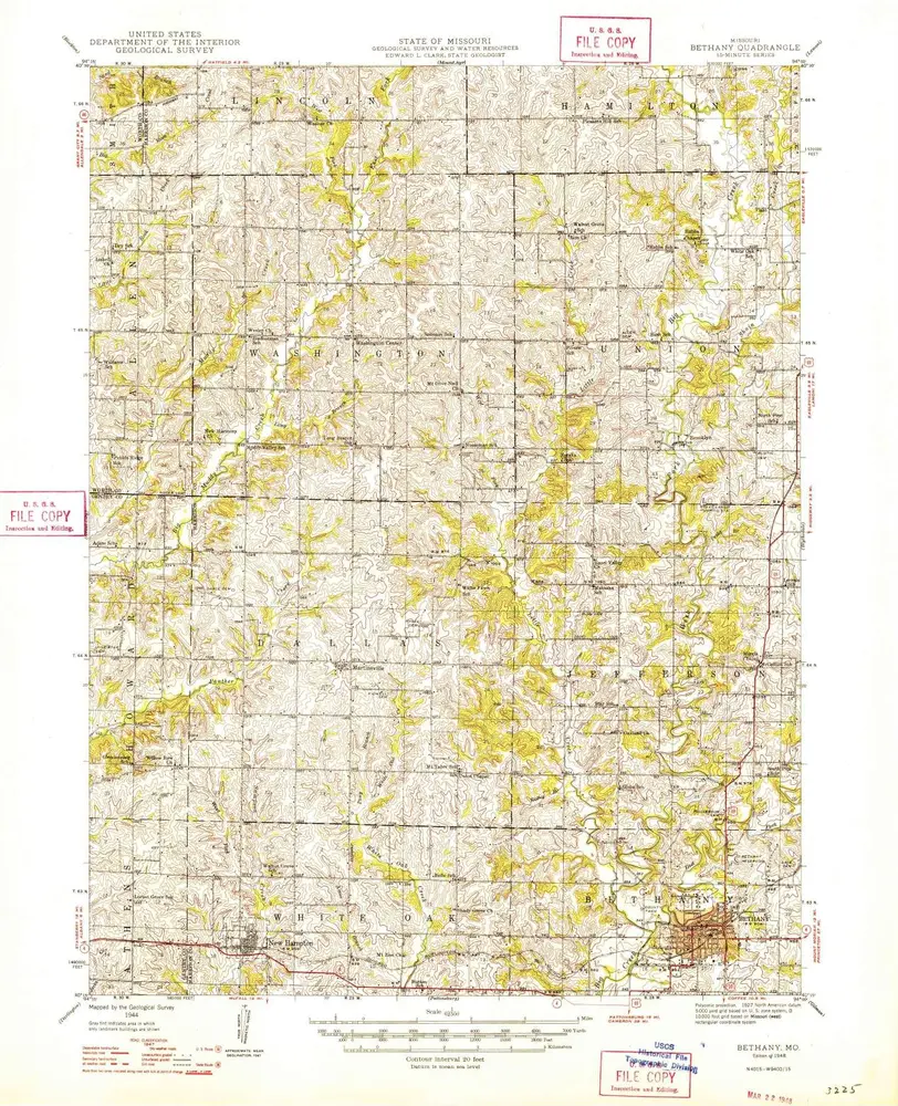
Bethany
1948
1:63k
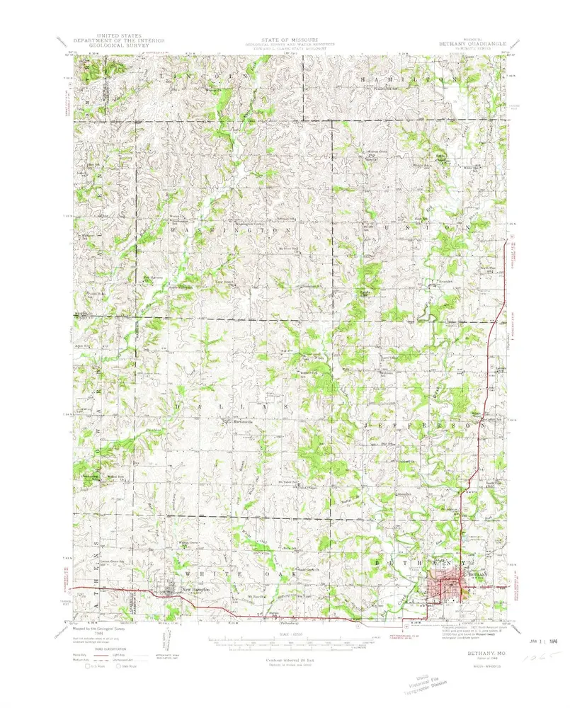
Bethany
1948
1:63k
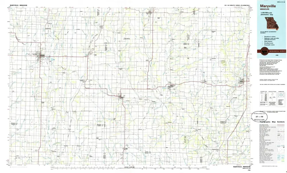
Maryville
1986
1:100k
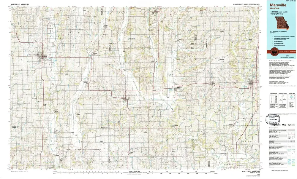
Maryville
1986
1:100k
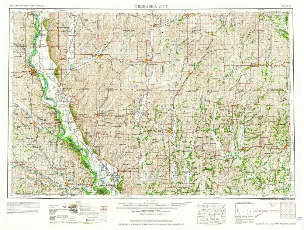
Nebraska City
1958
1:250k
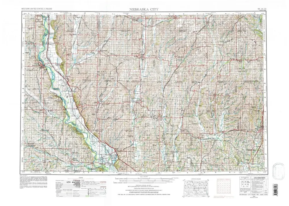
Nebraska City
1955
1:250k
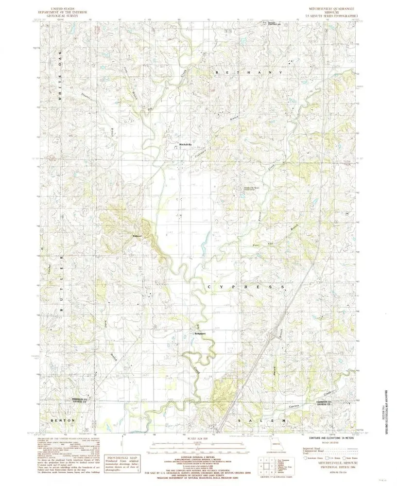
Mitchellville
1984
1:24k
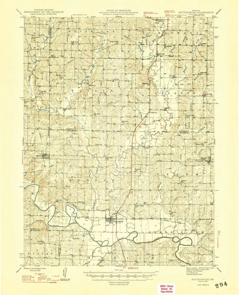
Pattonsburg
1948
1:63k
Pattonsburg
1948
1:63k
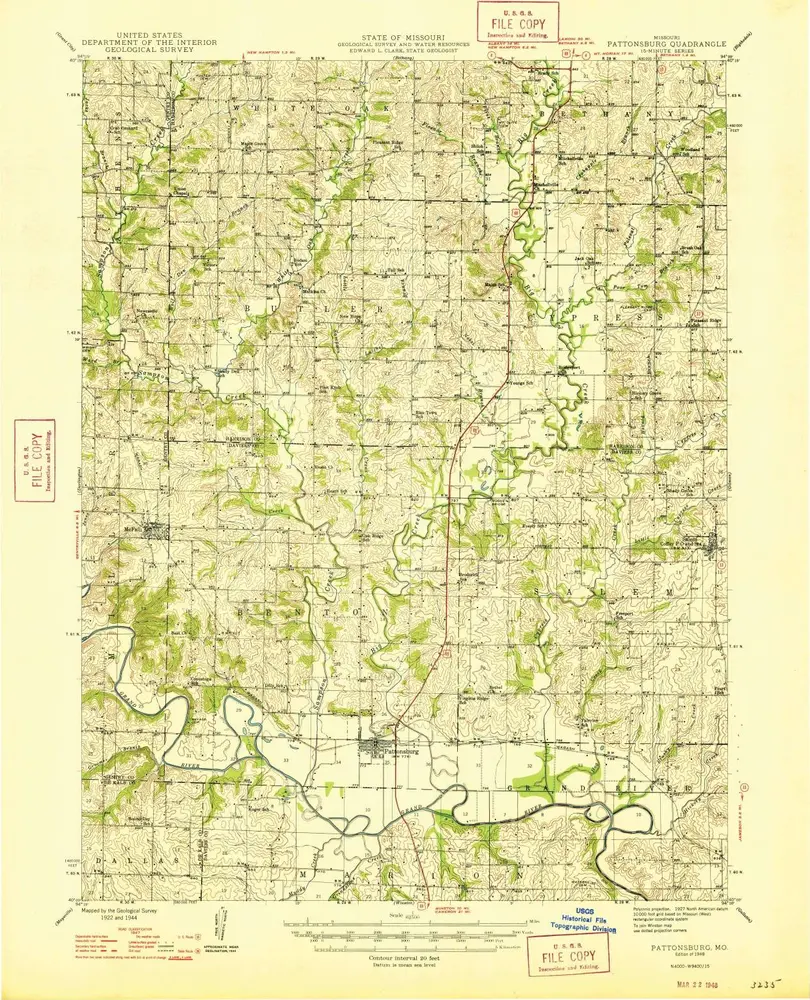
Pattonsburg
1946
1:48k
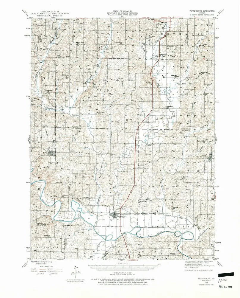
Pattonsburg
1944
1:63k
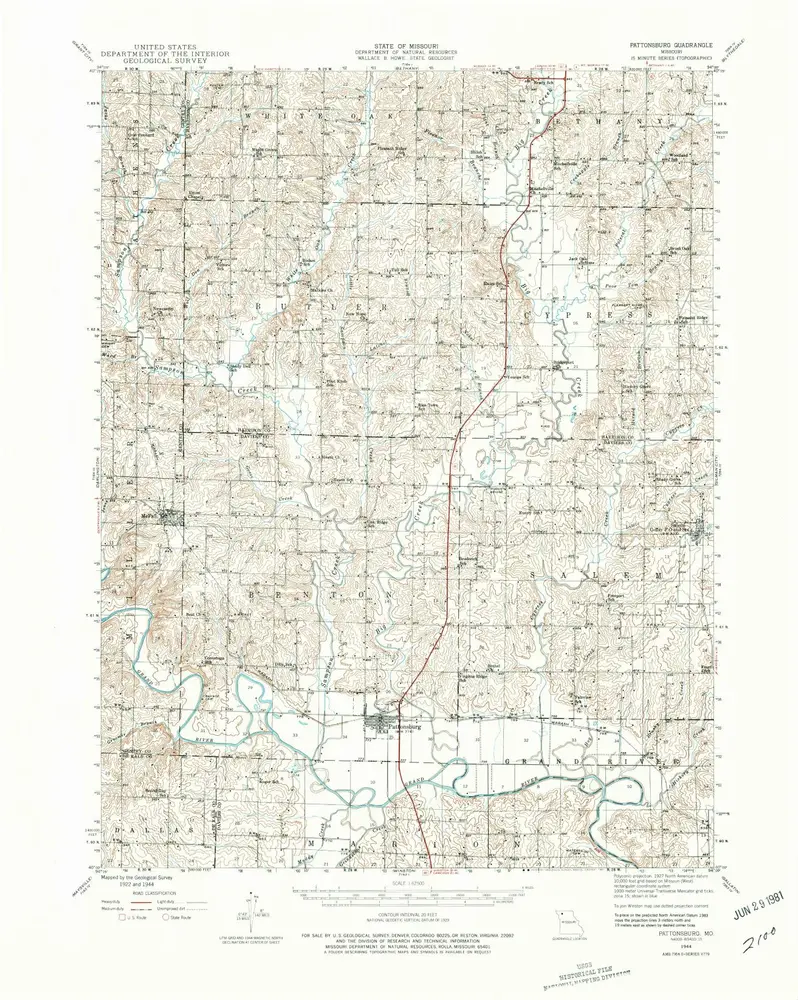
Pattonsburg
1944
1:63k
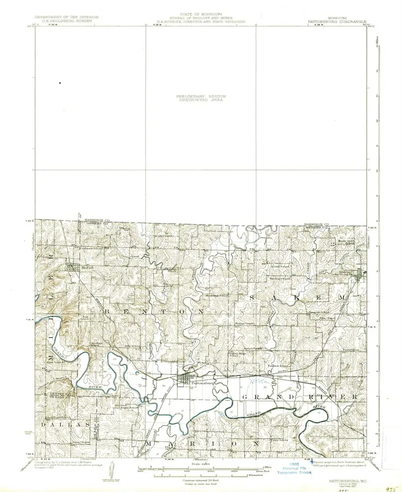
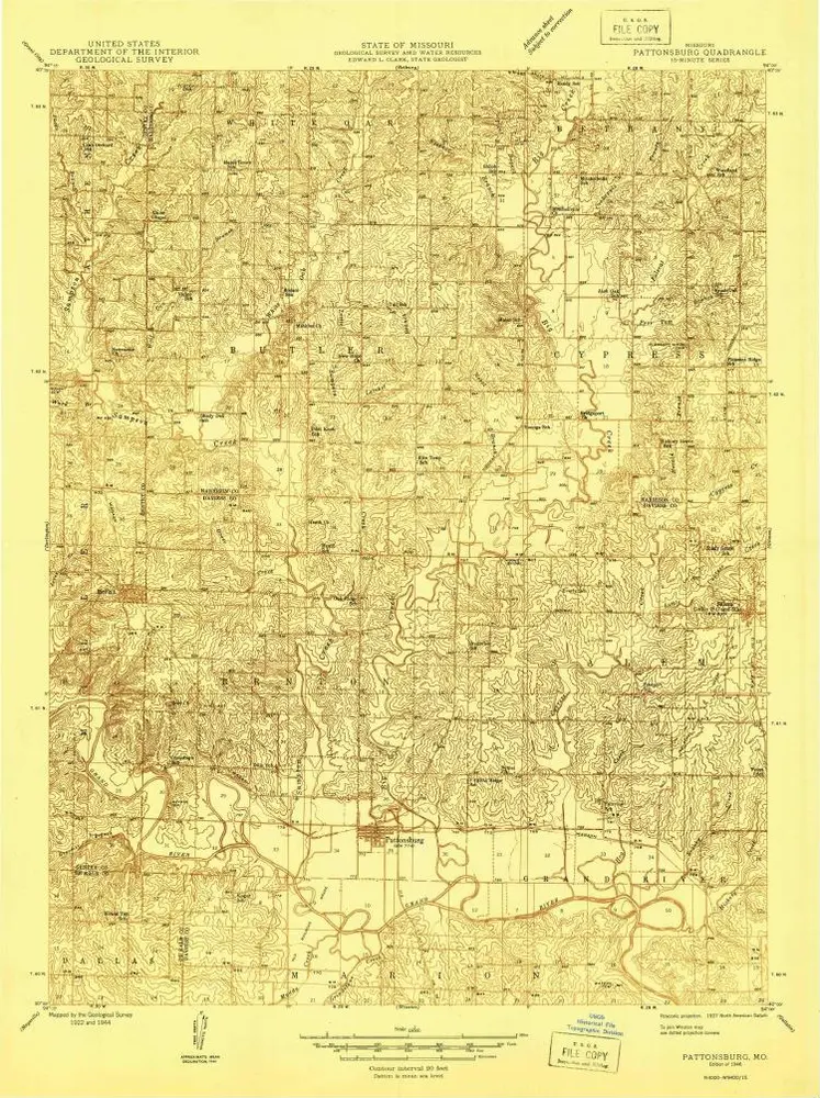
Pattonsburg
1925
1:63k
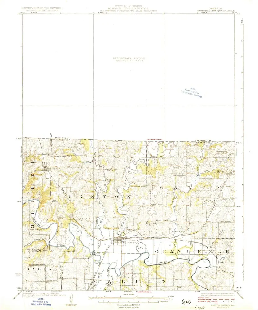
Pattonsburg
1925
1:63k