プロジェクト
コミュニティ
ニュース
私のアプリ
私の地図
Katalogisierte Karte
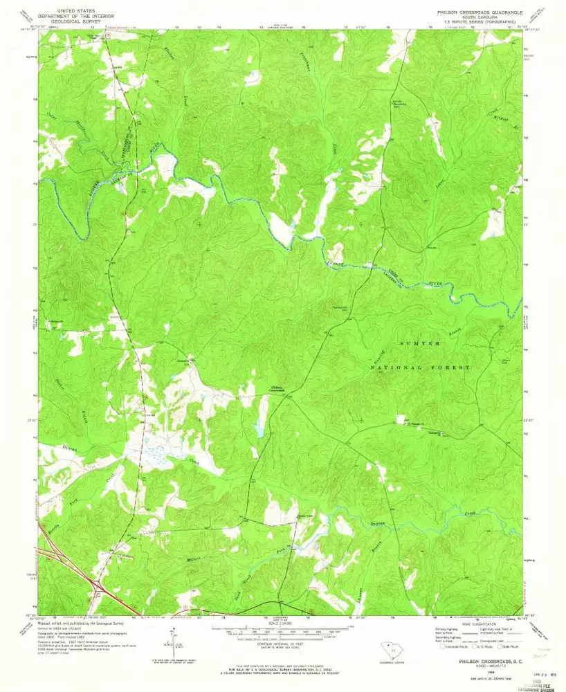
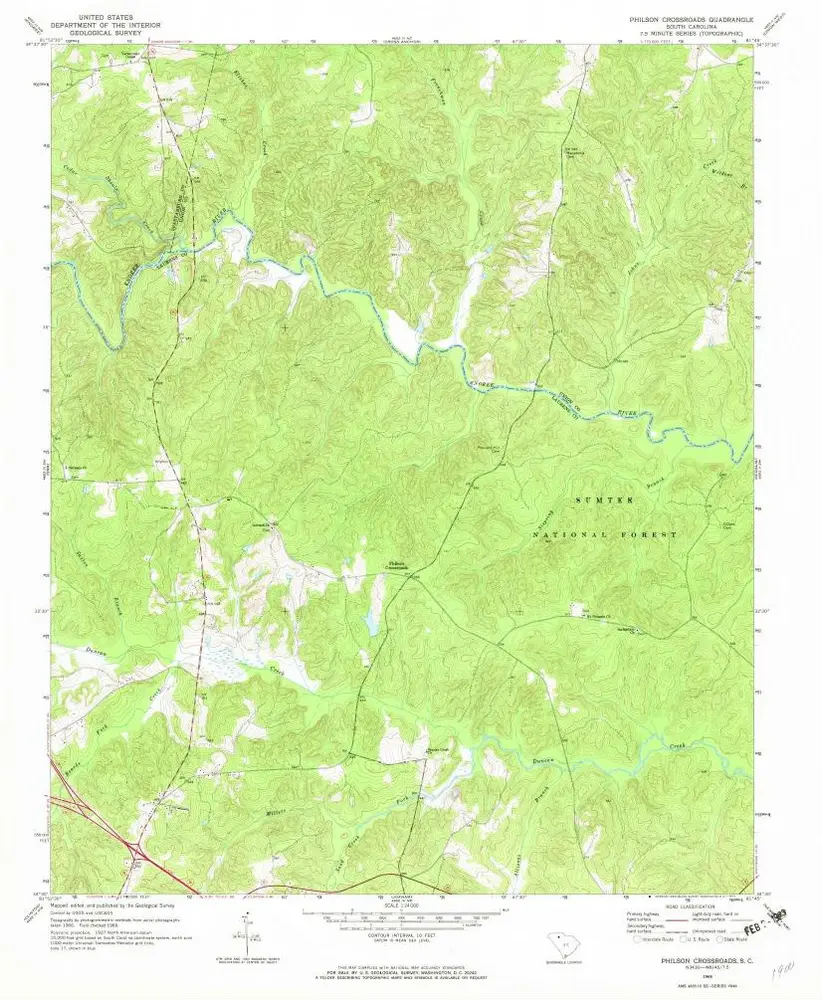
Philson Crossroads
外部サイトで見る
デジタル化されたものを表示
Einrichtung:
United States Geological Survey
Vollständiger Titel:
Philson Crossroads
Jahr der Abbildung:
1969
Veröffentlichungsdatum:
1973
Maßstab der Karte:
1:24 000
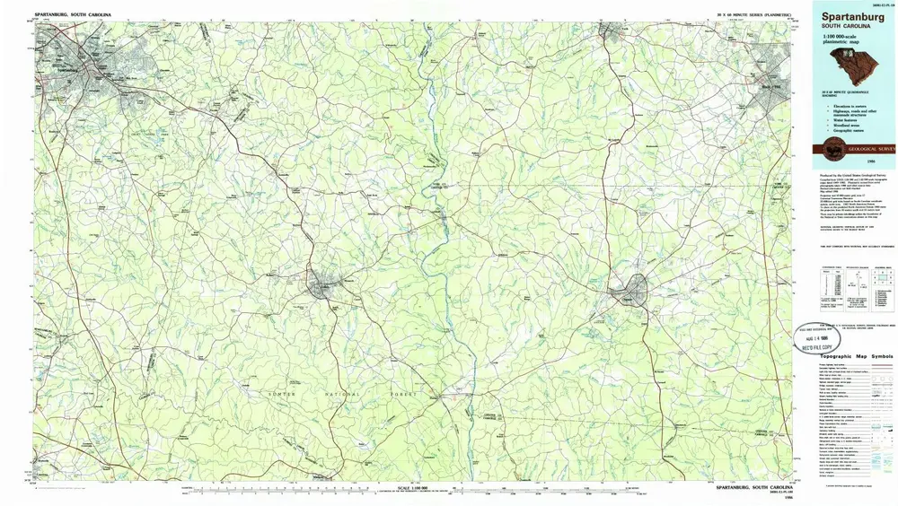
Spartanburg
1986
1:100k
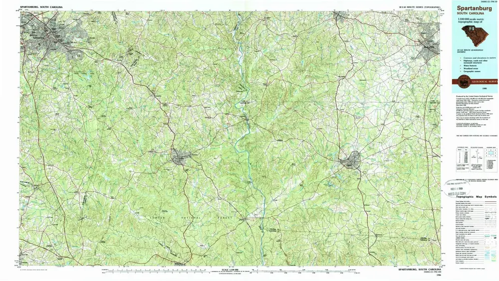
Spartanburg
1986
1:100k
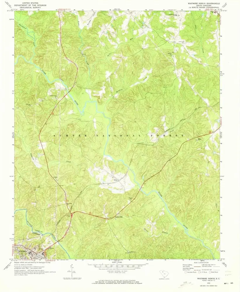
Whitmire North
1970
1:24k
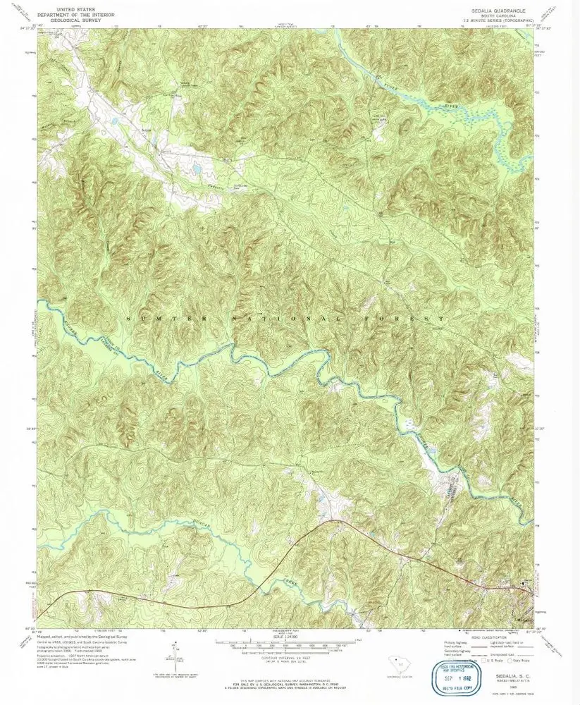
Sedalia
1969
1:24k
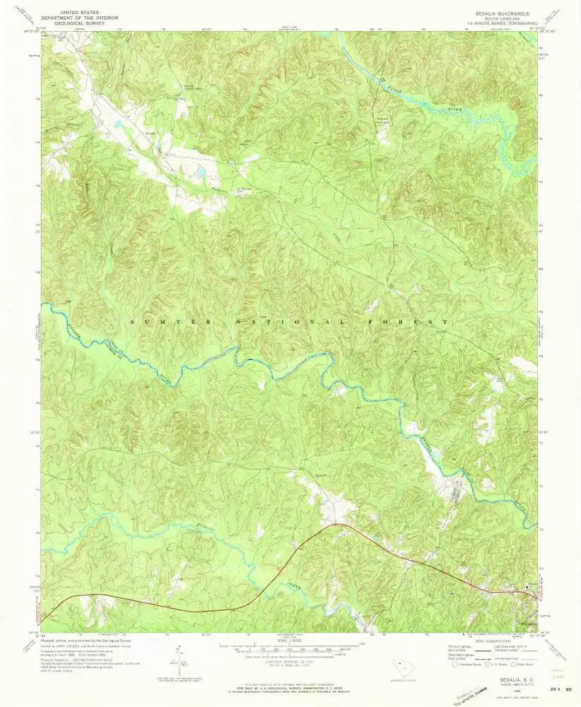
Sedalia
1969
1:24k
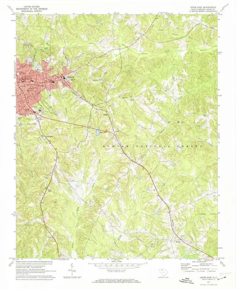
Union East
1971
1:24k
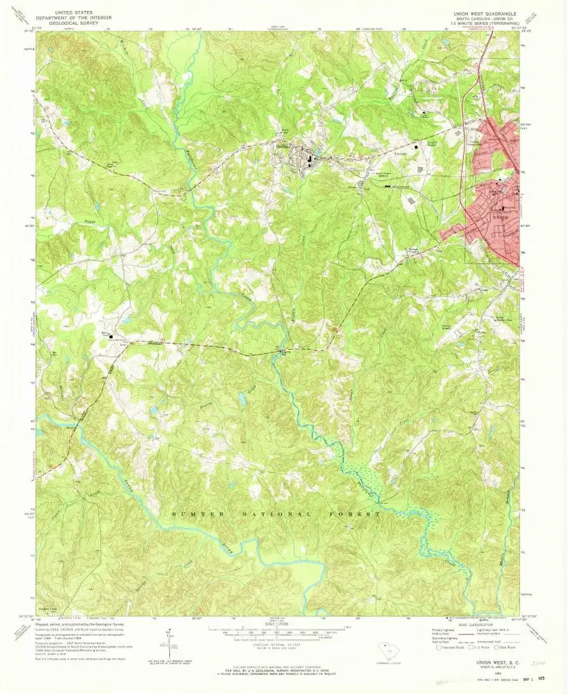
Union West
1969
1:24k
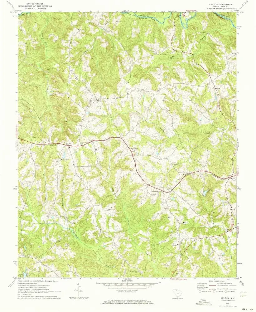
Kelton
1969
1:24k
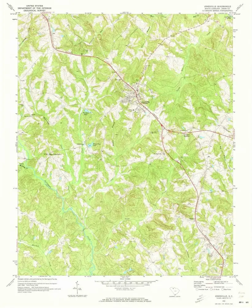
Jonesville
1969
1:24k
Philson Crossroads
1969
1:24k
Philson Crossroads
1969
1:24k
Geschichte