Skatalogowana mapa
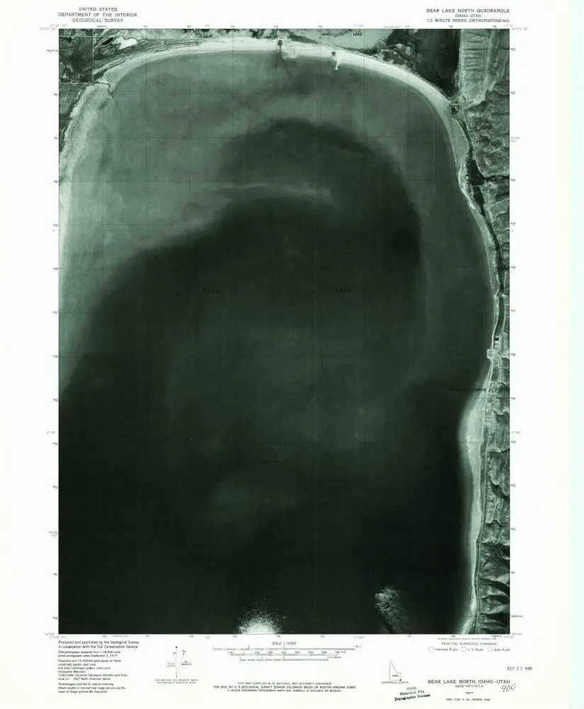
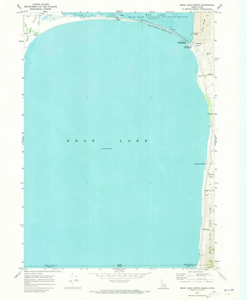
Bear Lake North

Instytucja:United States Geological Survey
Pełny tytuł:Bear Lake North
Rok ilustracji:1970
Data publikacji:1973
Skala mapy:1:24 000
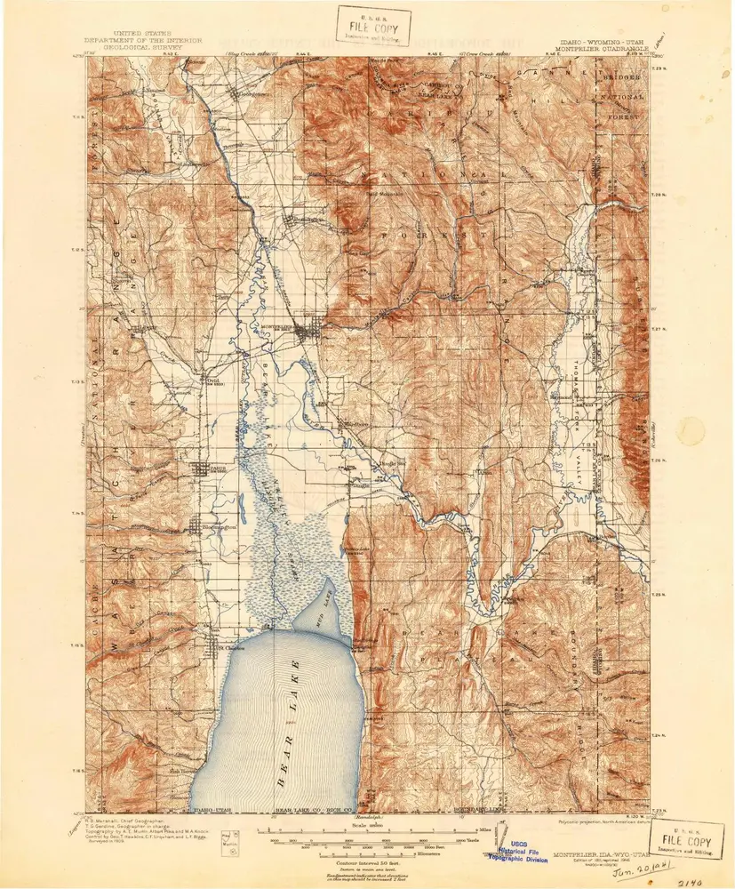
Montpelier
1911
1:125k
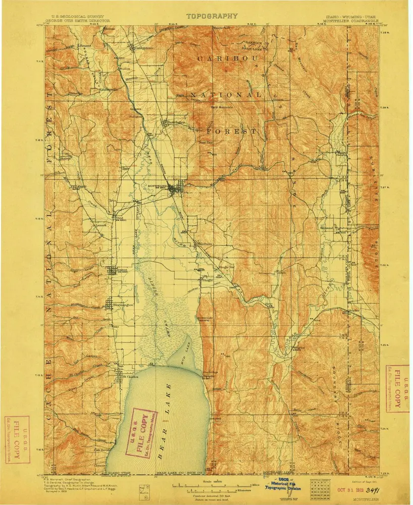
Montpelier
1911
1:125k
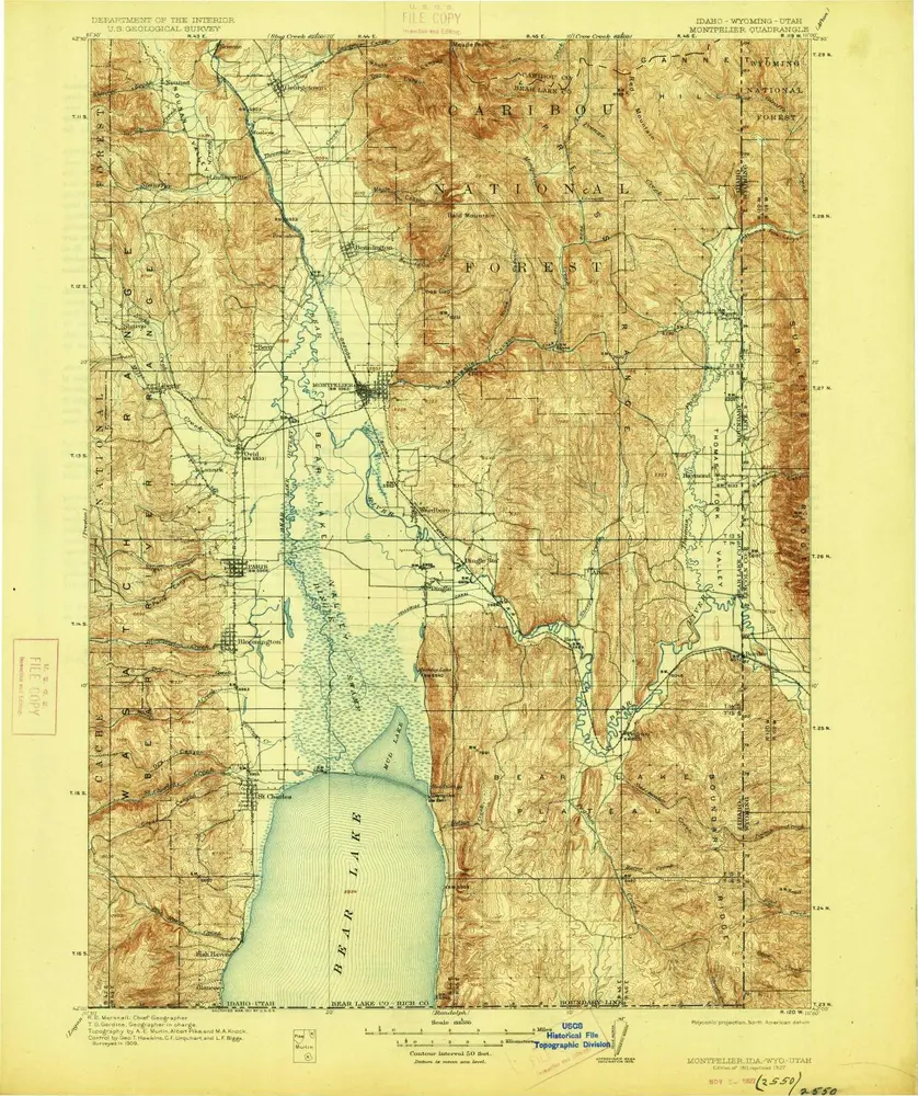
Montpelier
1911
1:125k
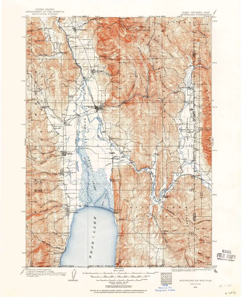
Montpelier
1909
1:125k
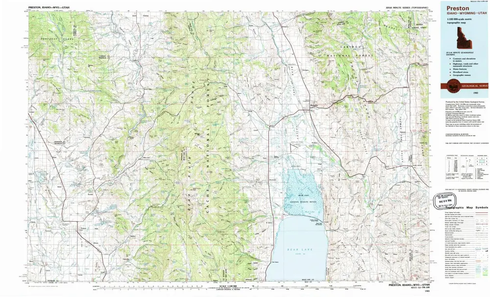
Preston
1983
1:100k
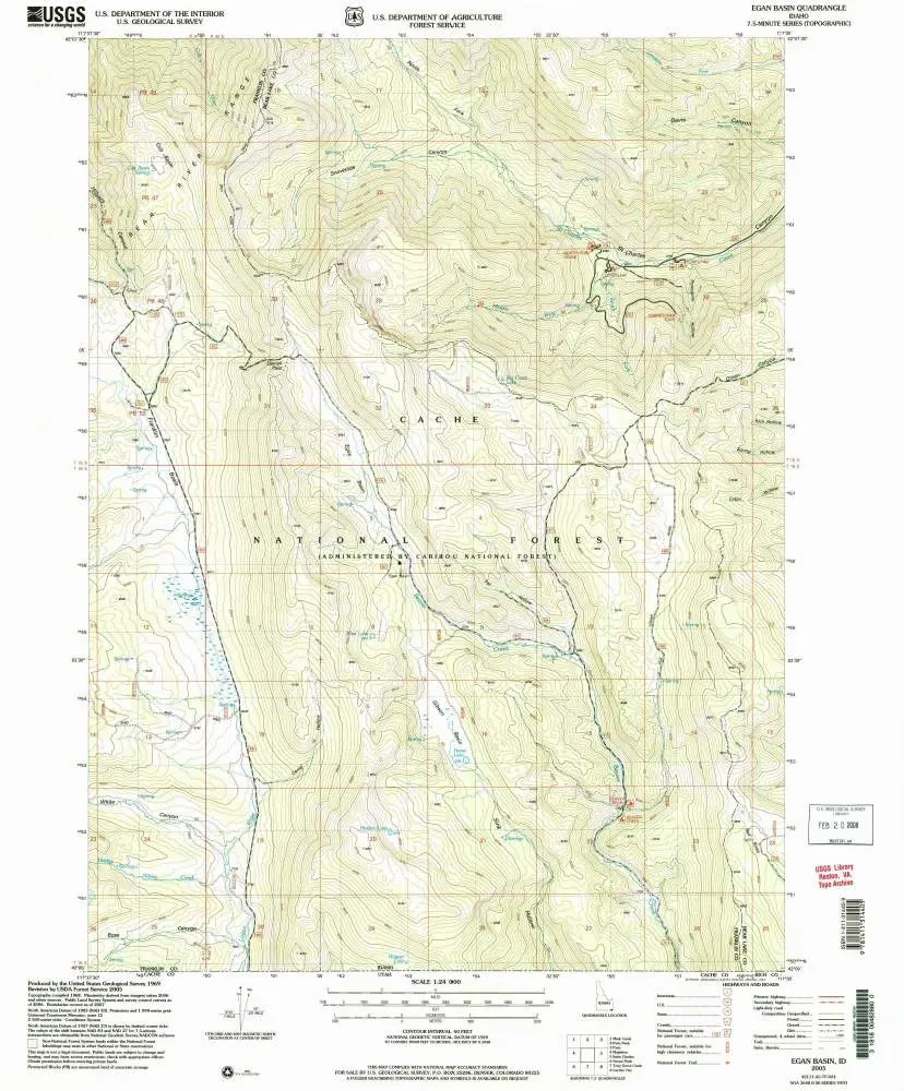
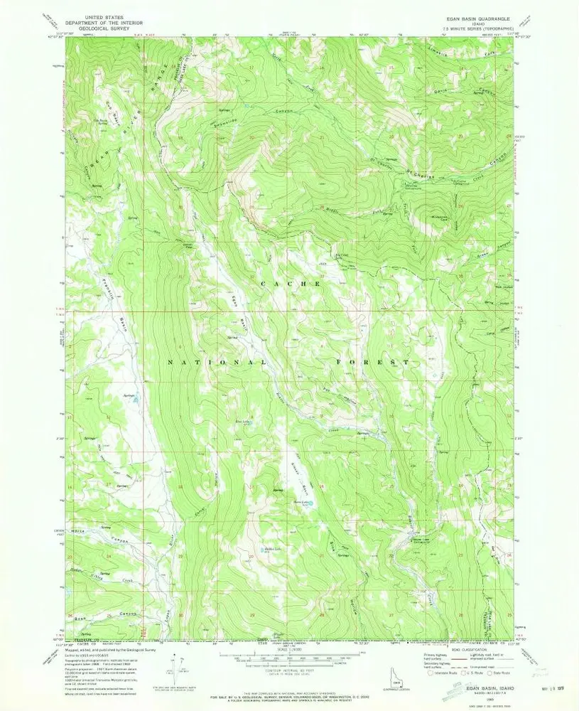
Egan Basin
2005
1:24k
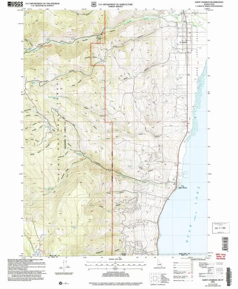
Saint Charles
2005
1:24k
Bear Lake North
1977
1:24k
Bear Lake North
1970
1:24k
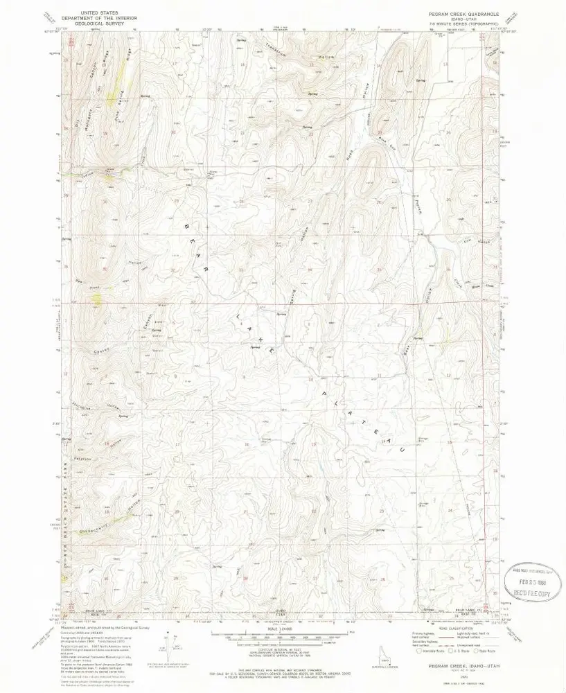
Pegram Creek
1970
1:24k
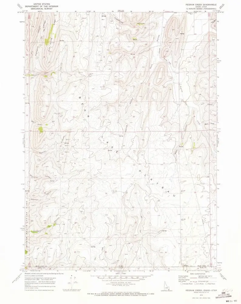
Pegram Creek
1970
1:24k
Egan Basin
1969
1:24k
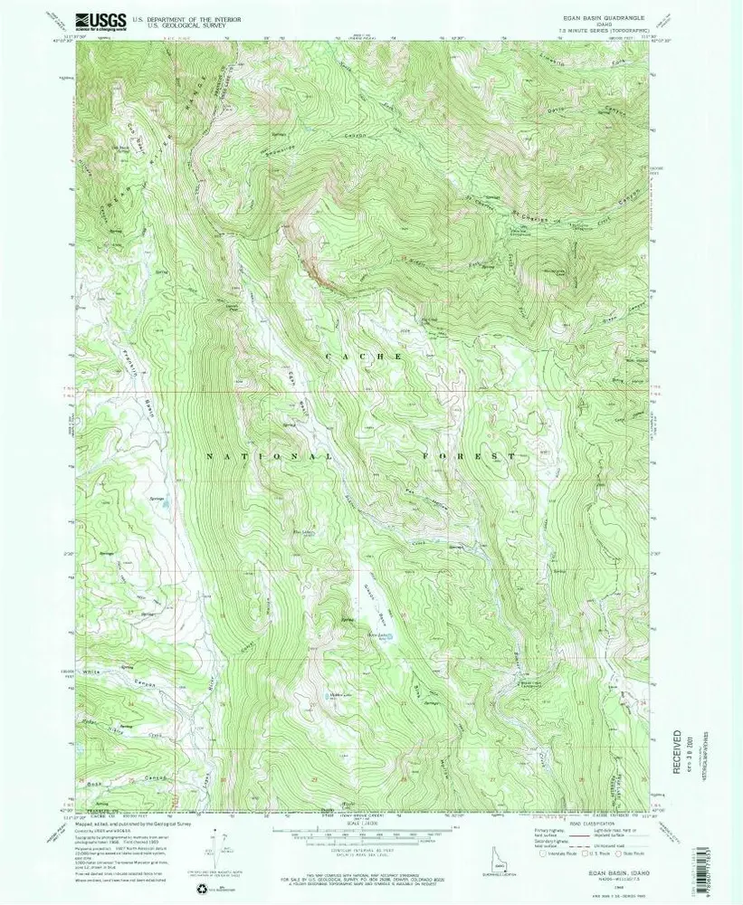
Egan Basin
1969
1:24k
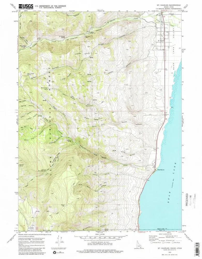
St Charles
1969
1:24k
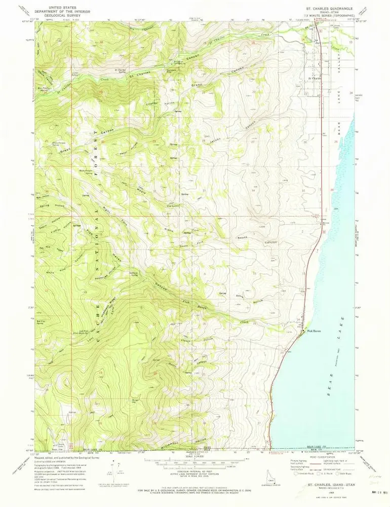
St Charles
1969
1:24k