プロジェクト
コミュニティ
ニュース
私のアプリ
私の地図
Carte cataloguée
Lake Canadohta
外部サイトで見る
Institution:
United States Geological Survey
Titre complet:
Lake Canadohta
Année de l'image:
1967
Date de publication:
1974
Échelle de la carte:
1:24 000
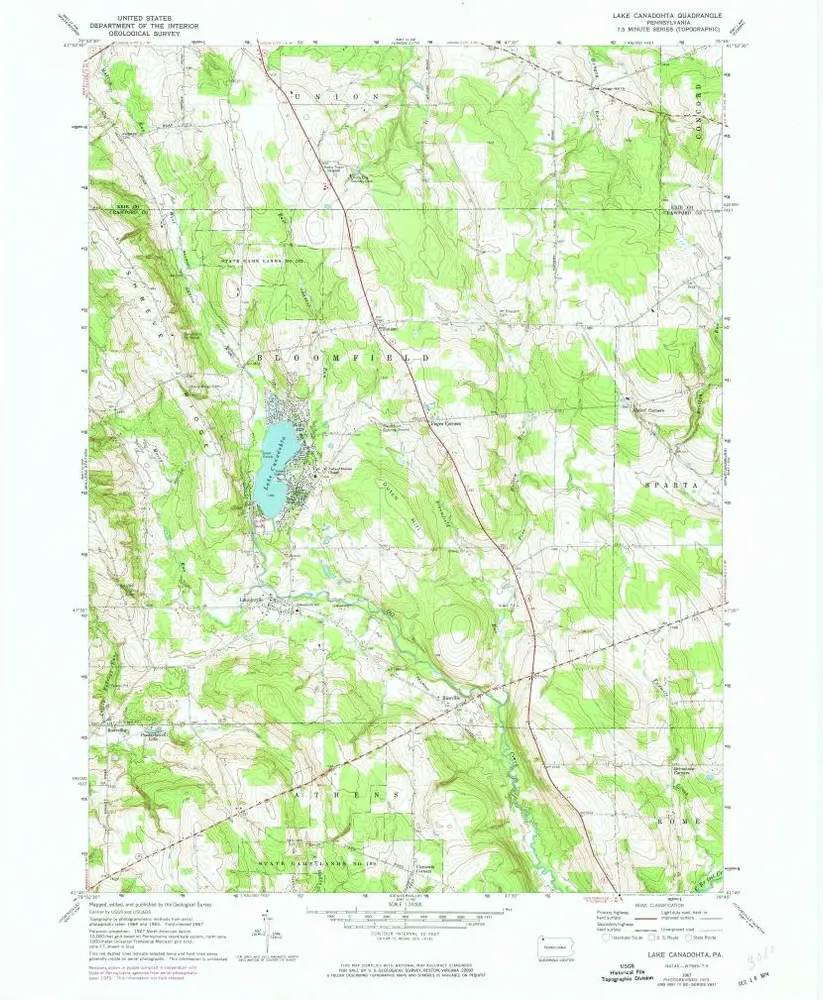
Lake Canadohta
1967
1:24k
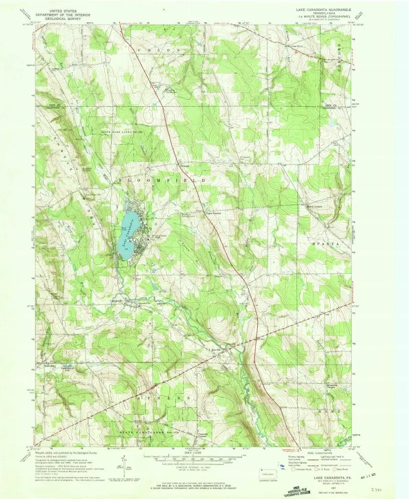
Lake Canadohta
1967
1:24k
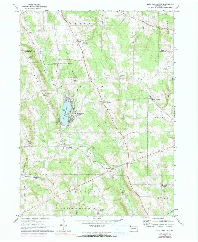
Lake Canadohta
1967
1:24k
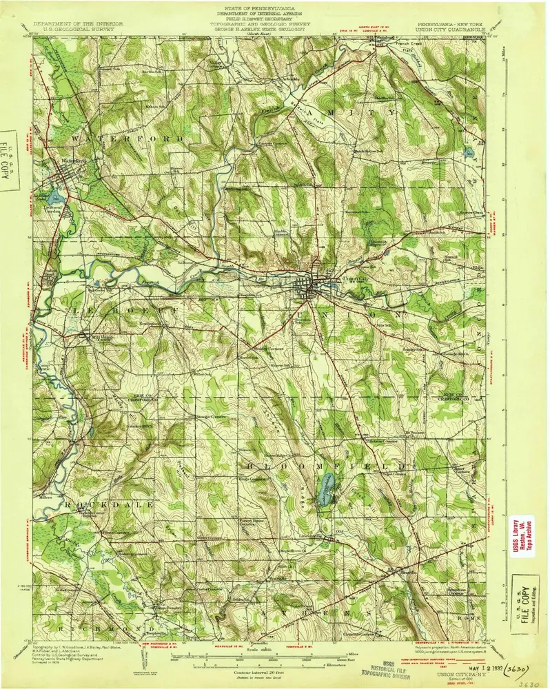
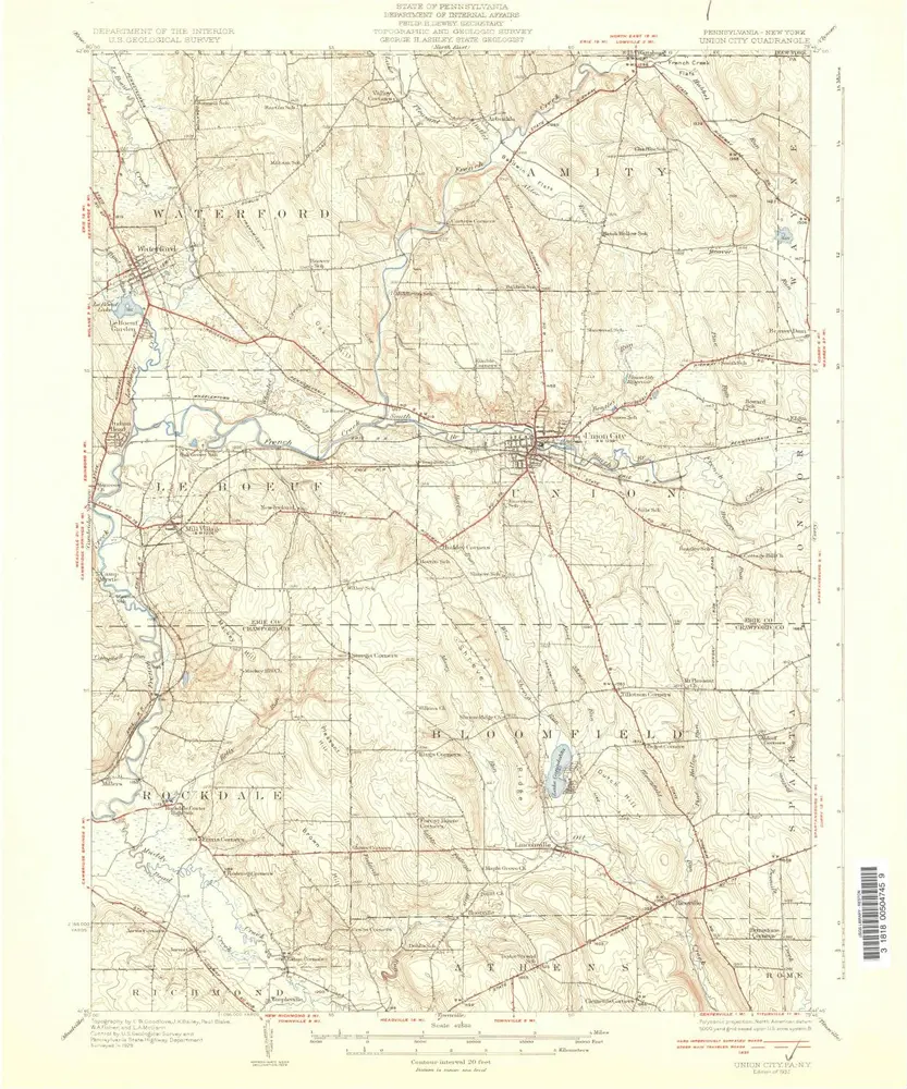
Union City
1932
1:63k
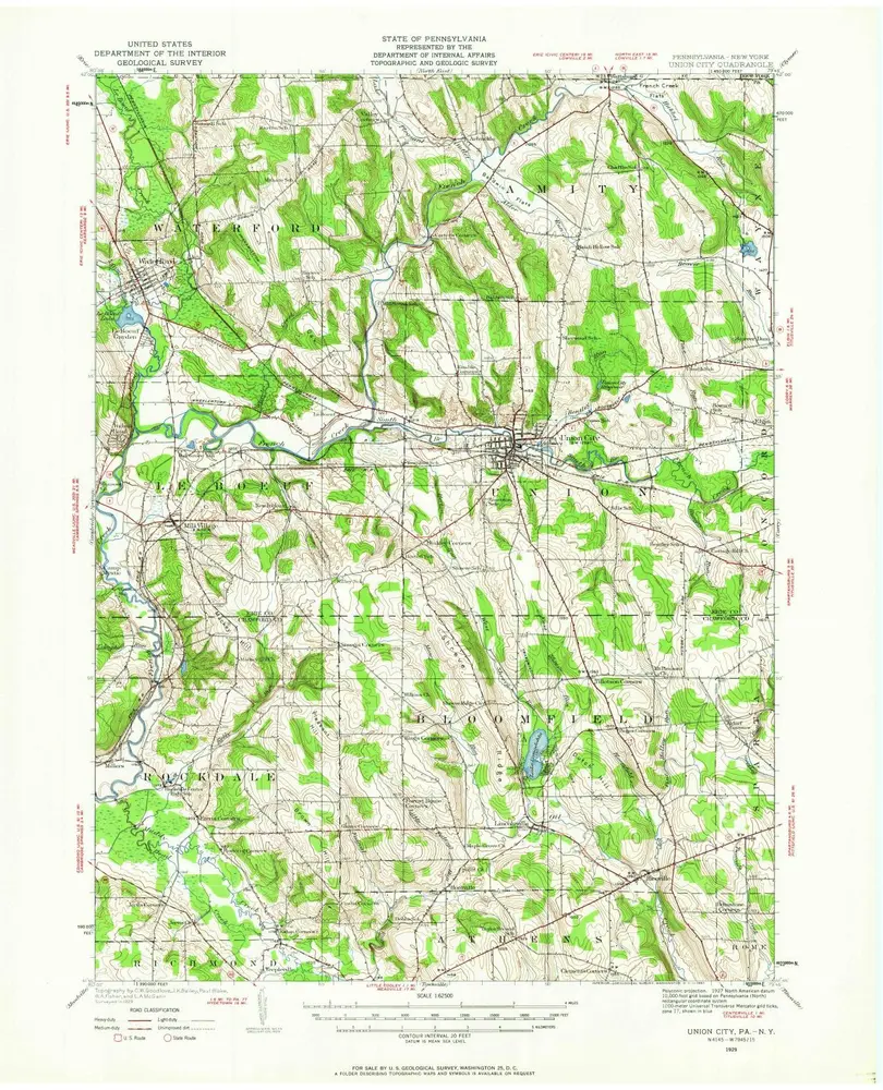
Union City
1932
1:63k
Union City
1932
1:63k
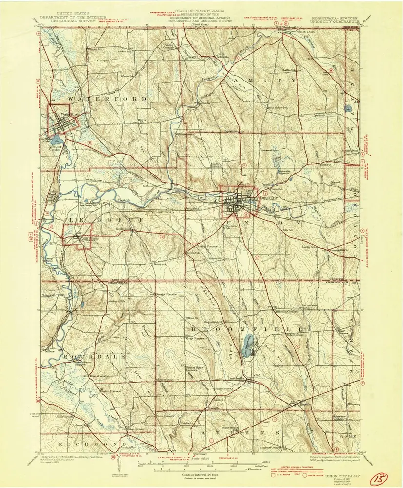
Union City
1929
1:63k
Millers Station
1967
1:24k
Millers Station
1967
1:24k
Warren
1983
1:100k
L'histoire