Katalogisierte Karte
Map of Maine : constructed from the most correct surveys, with sectional distances and elevations, or level, of the St. Croix River from Calais Bridge, deduced from the states survey


Einrichtung:Harvard Library
Vollständiger Titel:Map of Maine : constructed from the most correct surveys, with sectional distances and elevations, or level, of the St. Croix River from Calais Bridge, deduced from the states survey
Jahr der Abbildung:1837
Veröffentlichungsdatum:1837
Herausgeber:Engraved & published by S.H. Colesworthy
Maßstab der Karte:1:925 000
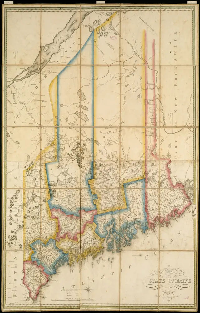
Township map of the state of Maine : with adjoining portions of Canada & New Brunswick
1891
G.W. & C.B. Colton & Co
1:608k
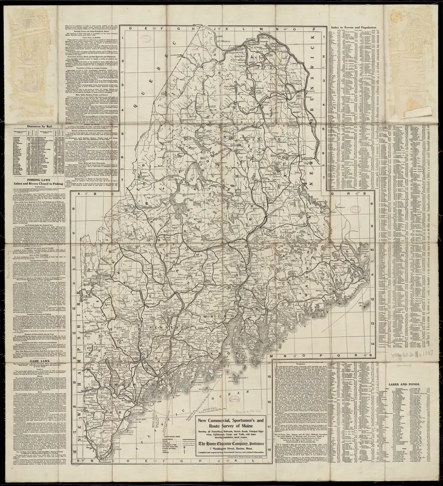
New commercial, sportsmen's and route survey of Maine : showing all postoffices, railroads, electric roads, principal highways, lighthouses, camps and trails, with index showing population latest census
1907
Home Educator Company
1:580k
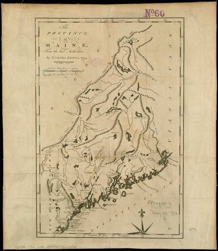
The province of Maine, from the best authorities
1794
Map of the state of Maine
1820
New Map of Maine
1899
1:2k
Map of the district of Maine, Massachusetts : compiled from actual surveys
1802
Carleton, Osgood, 1742-1816
1:390k
Map of Maine : constructed from the most correct surveys, with sectional distances and elevations, or level, of the St. Croix River from Calais Bridge, deduced from the states survey
1837
Anson, W
1:925k
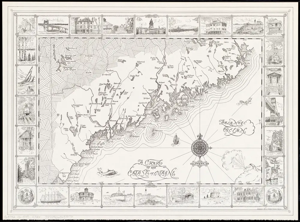
A chart of the coast of Maine
1933
Chellis, Robert Dunning
1:634k
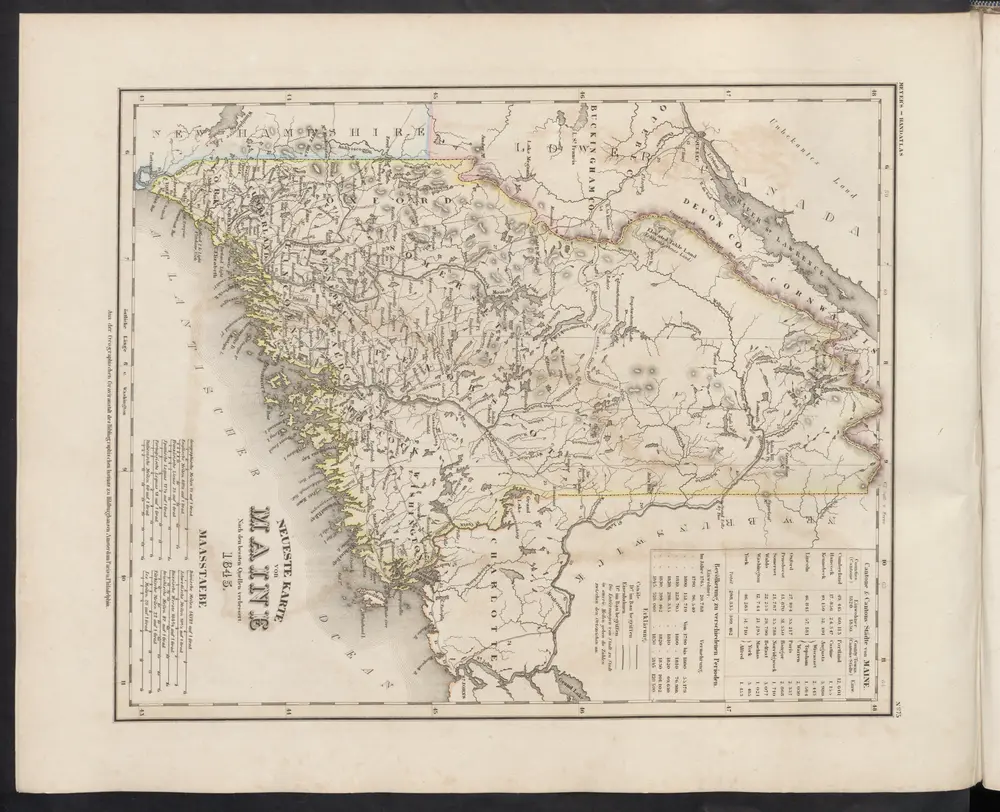
Neueste Karte von Maine
1860
Meyer, J.
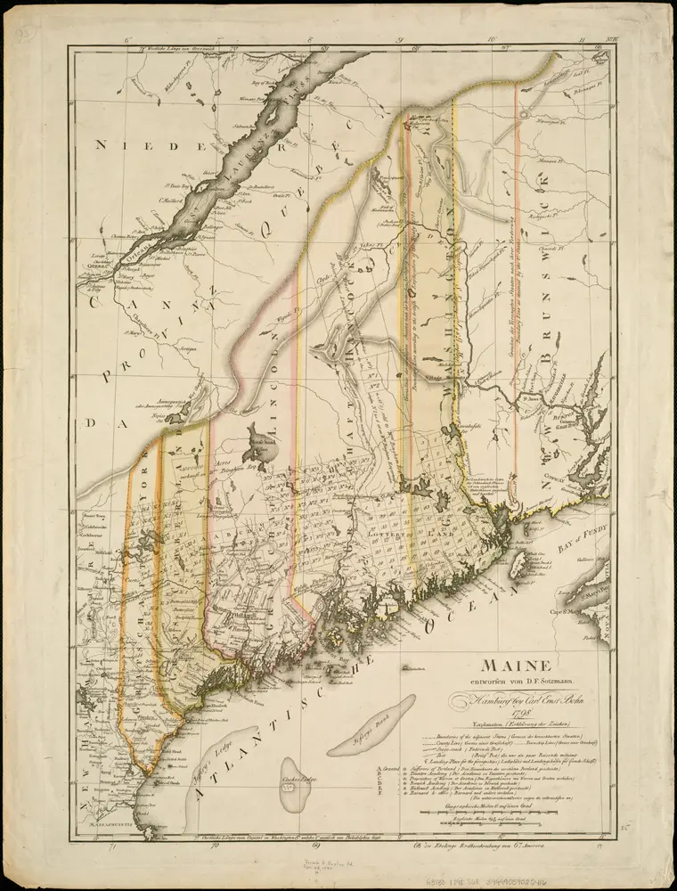
Maine
1798