Skatalogowana mapa
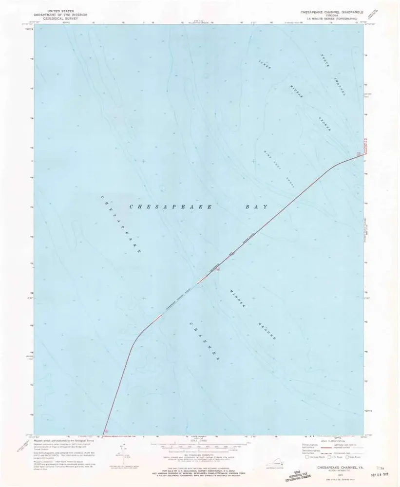
Chesapeake Channel

Instytucja:United States Geological Survey
Pełny tytuł:Chesapeake Channel
Rok ilustracji:1971
Data publikacji:1972
Skala mapy:1:24 000
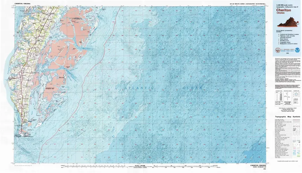
Cheriton
1981
1:100k
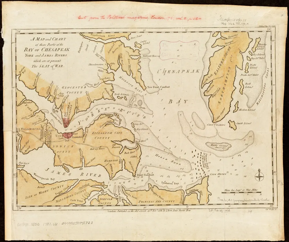
A map and chart of those parts of the Bay of Chesapeak, York and James Rivers which are at present the seat of war
1781
Lodge, John
1:263k
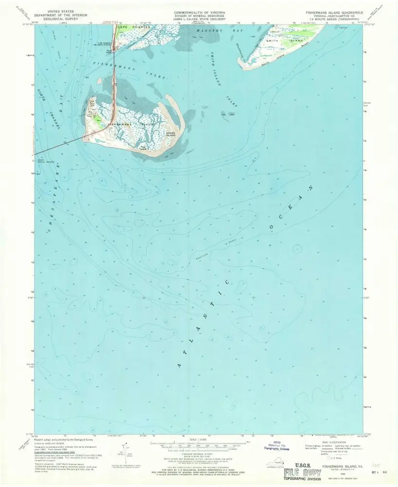
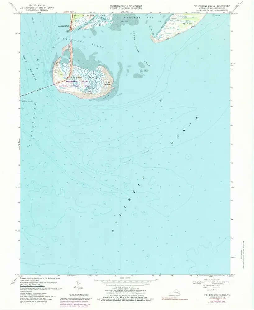
Fishermans Island
1968
1:24k
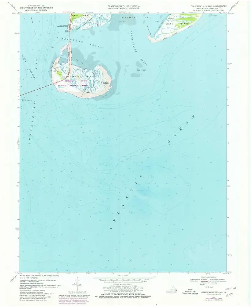
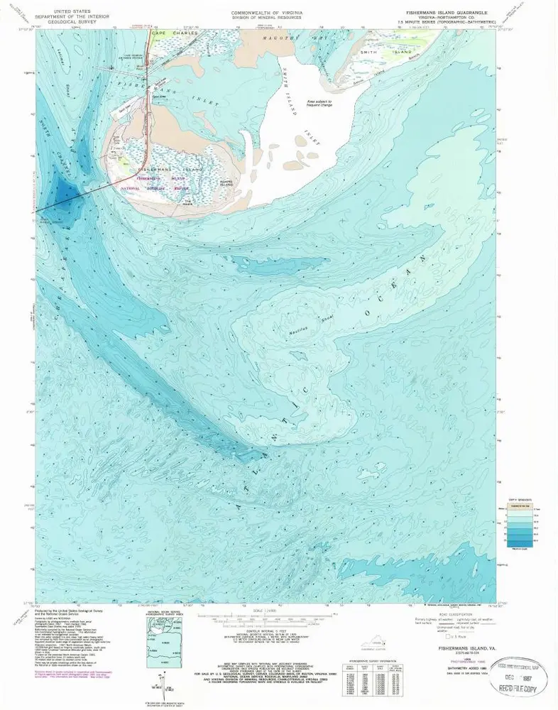
Fishermans Island
1968
1:24k
Fishermans Island
1968
1:24k
Fishermans Island
1968
1:24k
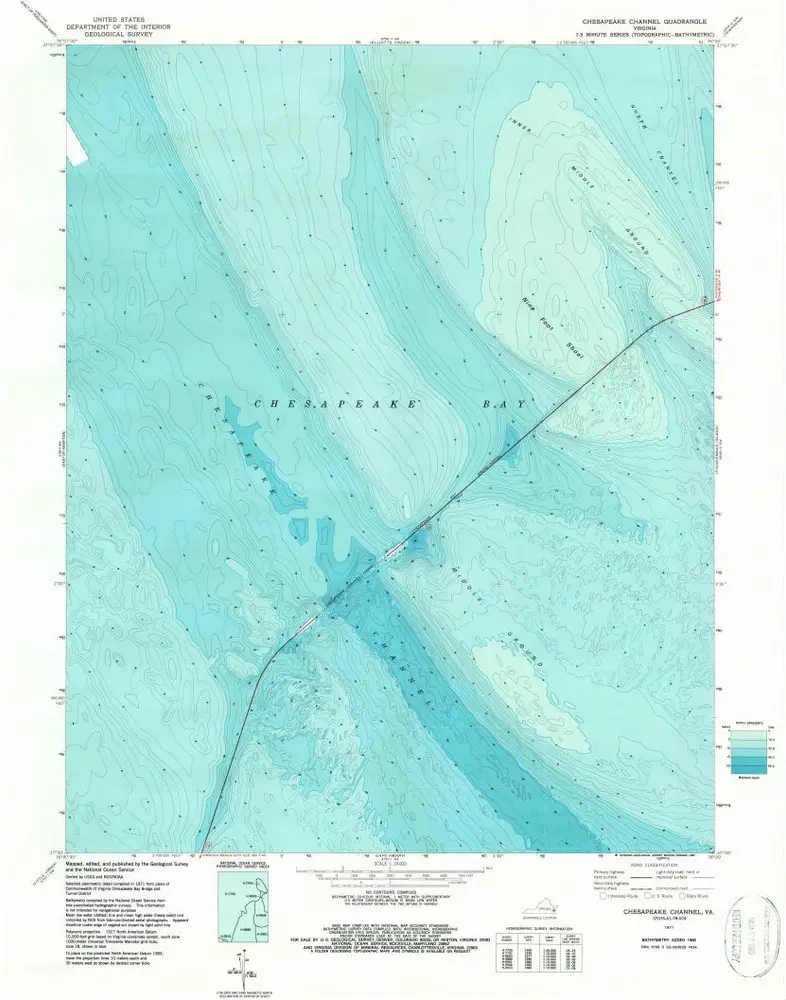
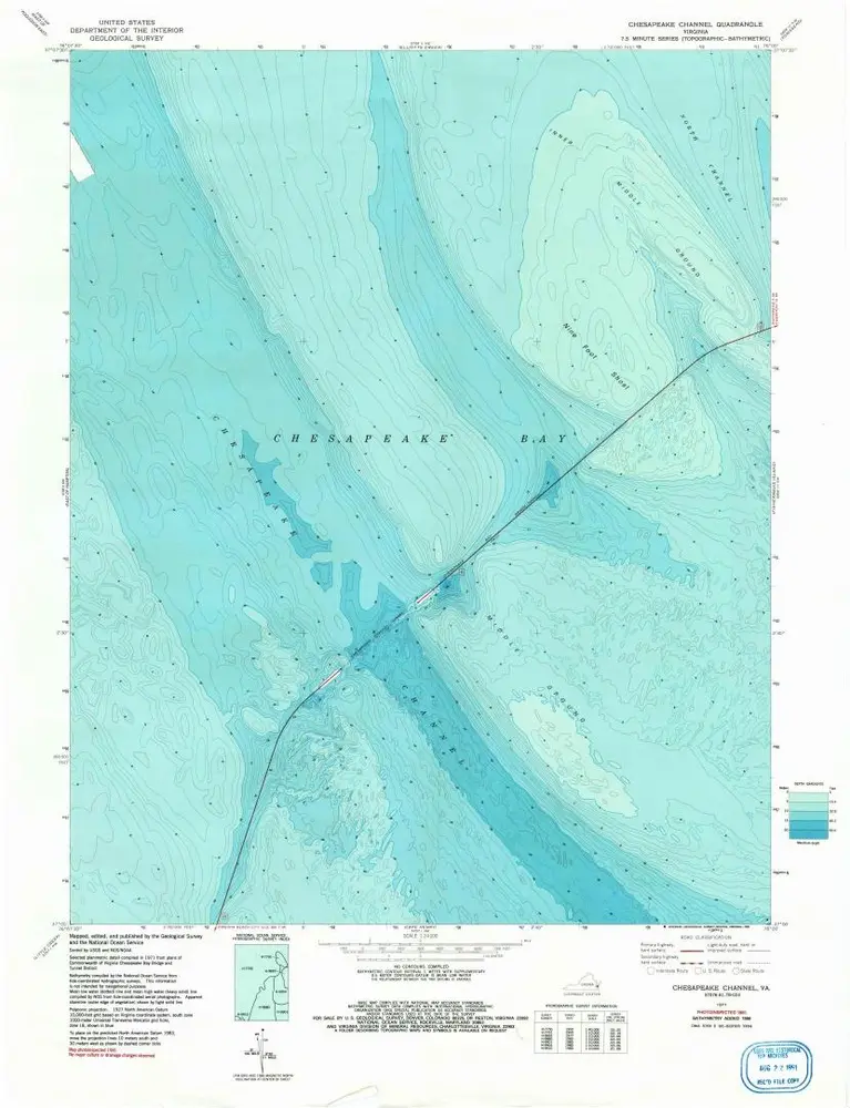
Chesapeake Channel
1971
1:24k
Chesapeake Channel
1971
1:24k
Chesapeake Channel
1971
1:24k
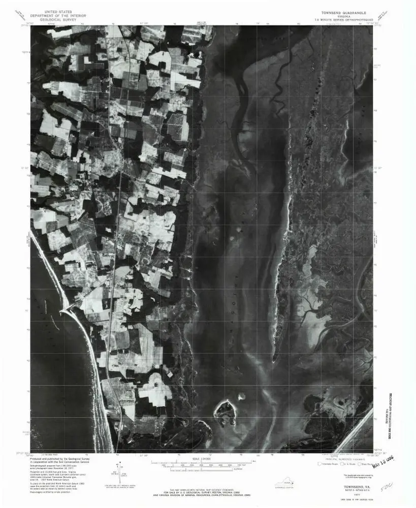
Townsend
1977
1:24k
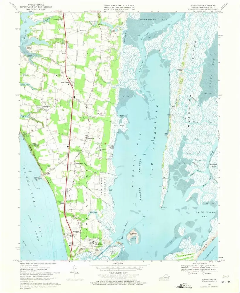
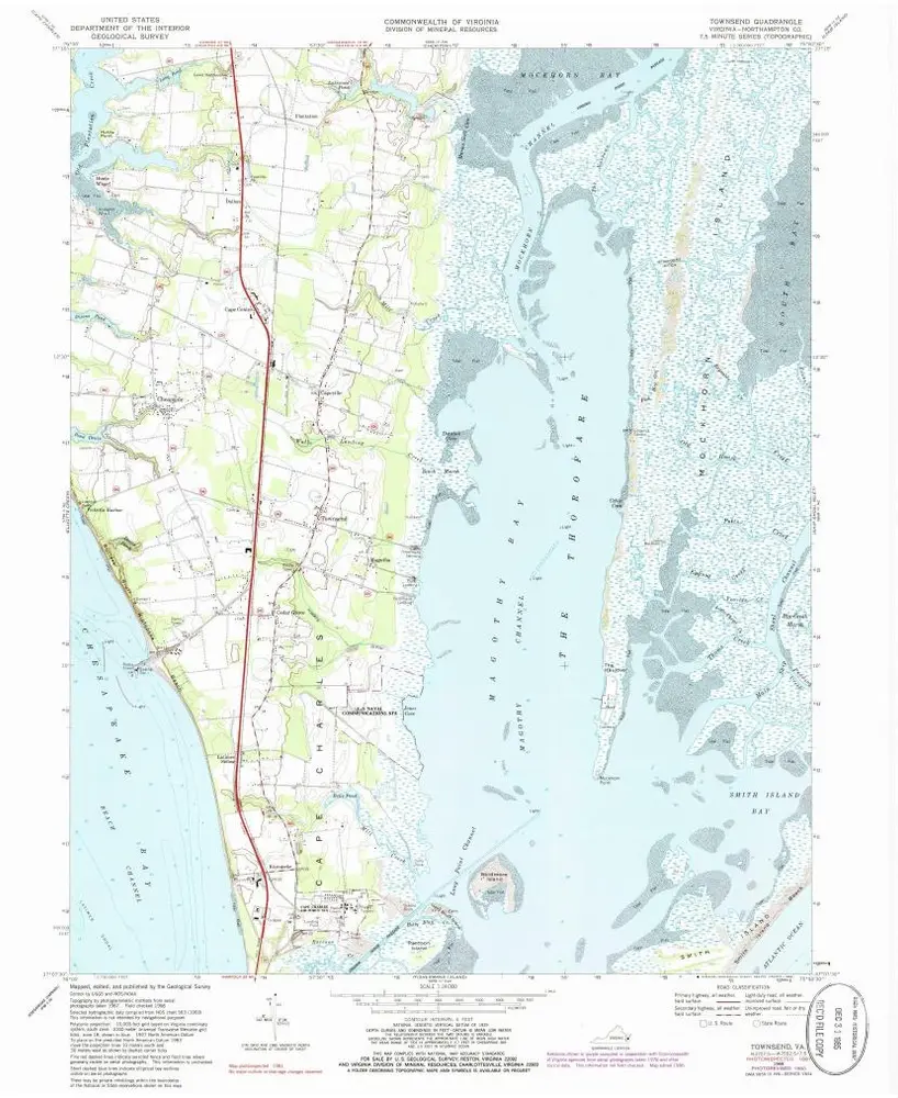
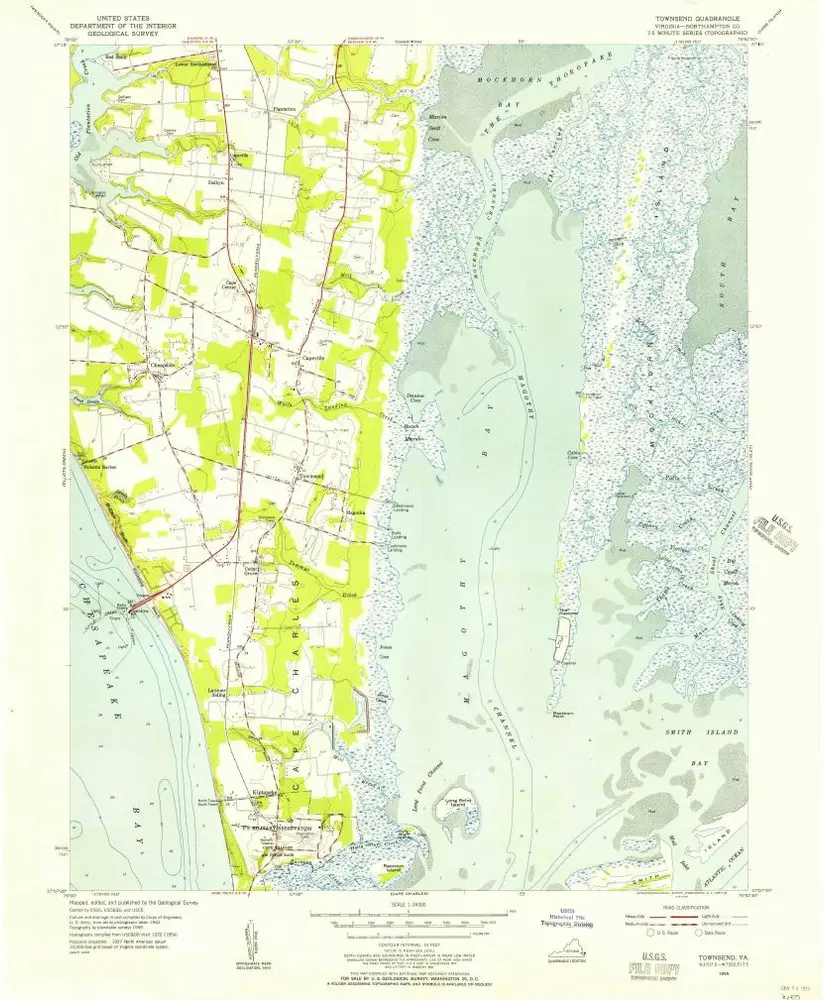
Townsend
1968
1:24k
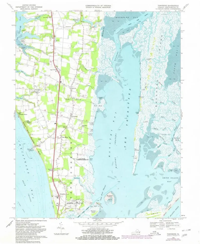
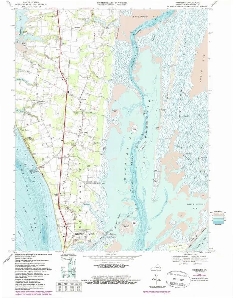
Townsend
1968
1:24k
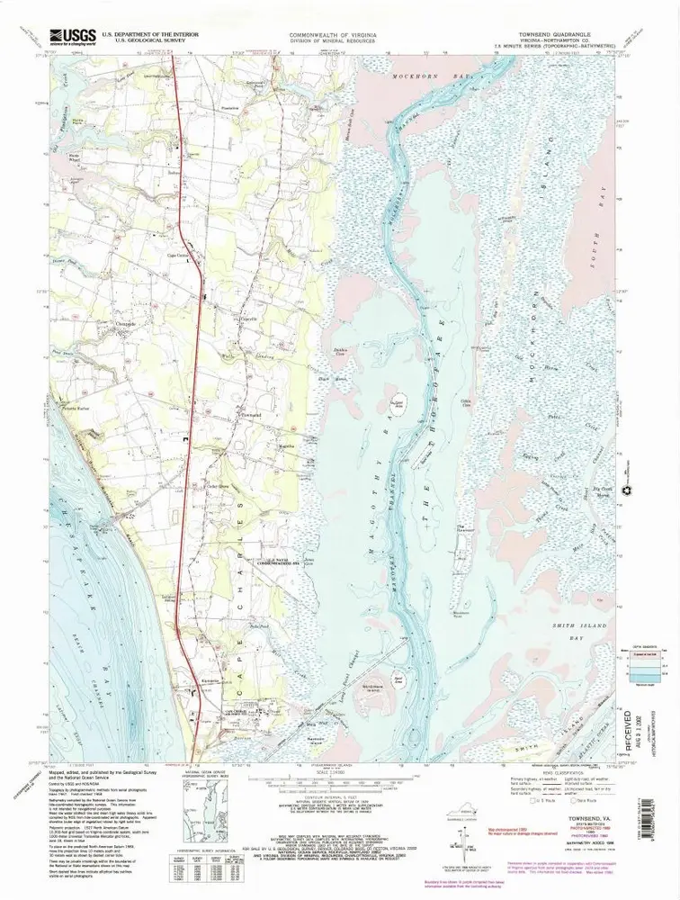
Townsend
1968
1:24k
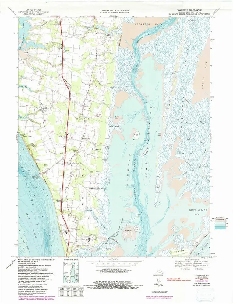
Townsend
1968
1:24k
Townsend
1968
1:24k
Townsend
1968
1:24k
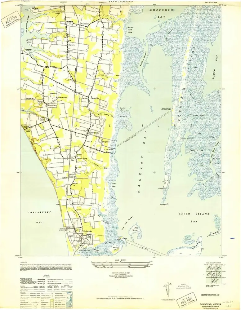
Townsend
1955
1:24k
Townsend
1943
1:24k