プロジェクト
コミュニティ
ニュース
私のアプリ
私の地図
Carte cataloguée
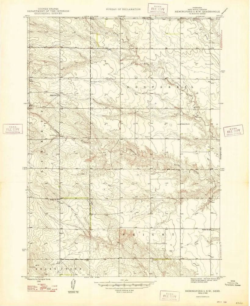
Hemingford 4 NW
外部サイトで見る
Institution:
United States Geological Survey
Titre complet:
Hemingford 4 NW
Année de l'image:
1948
Échelle de la carte:
1:24 000
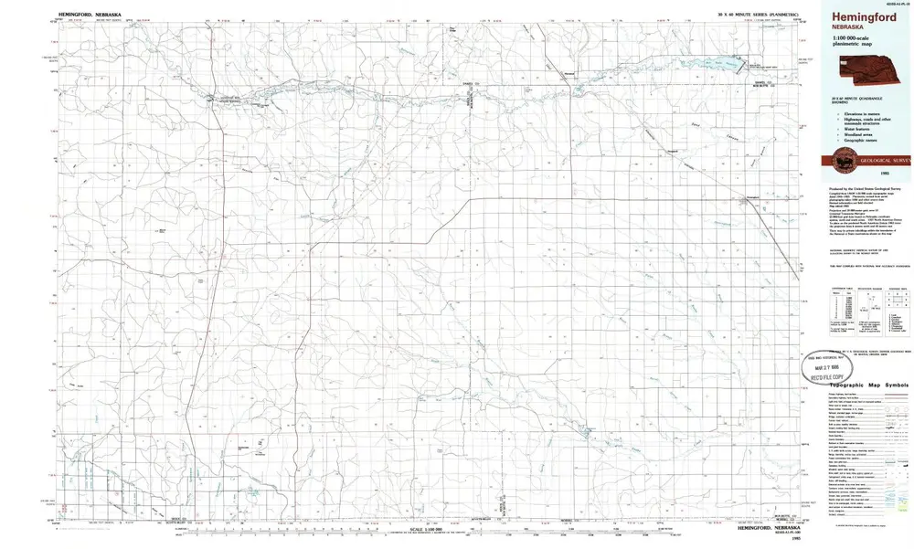
Hemingford
1985
1:100k
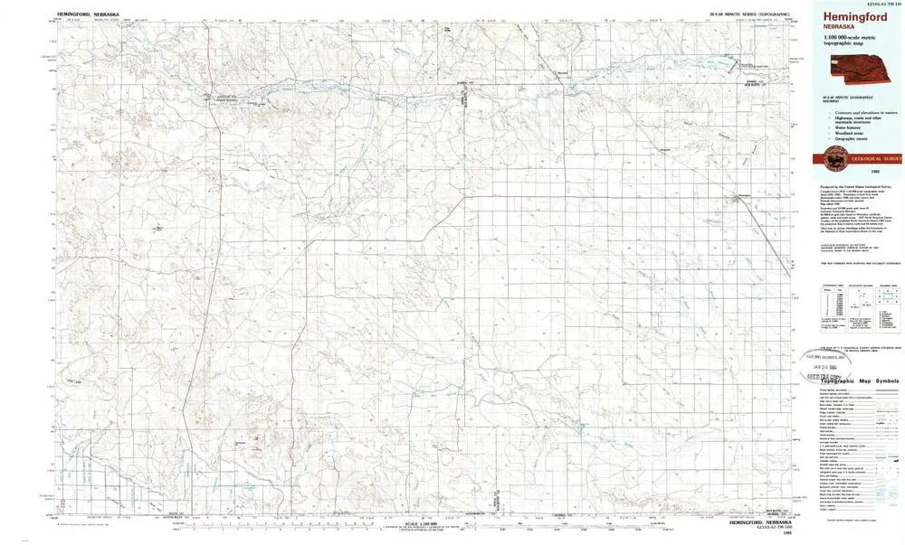
Hemingford
1985
1:100k
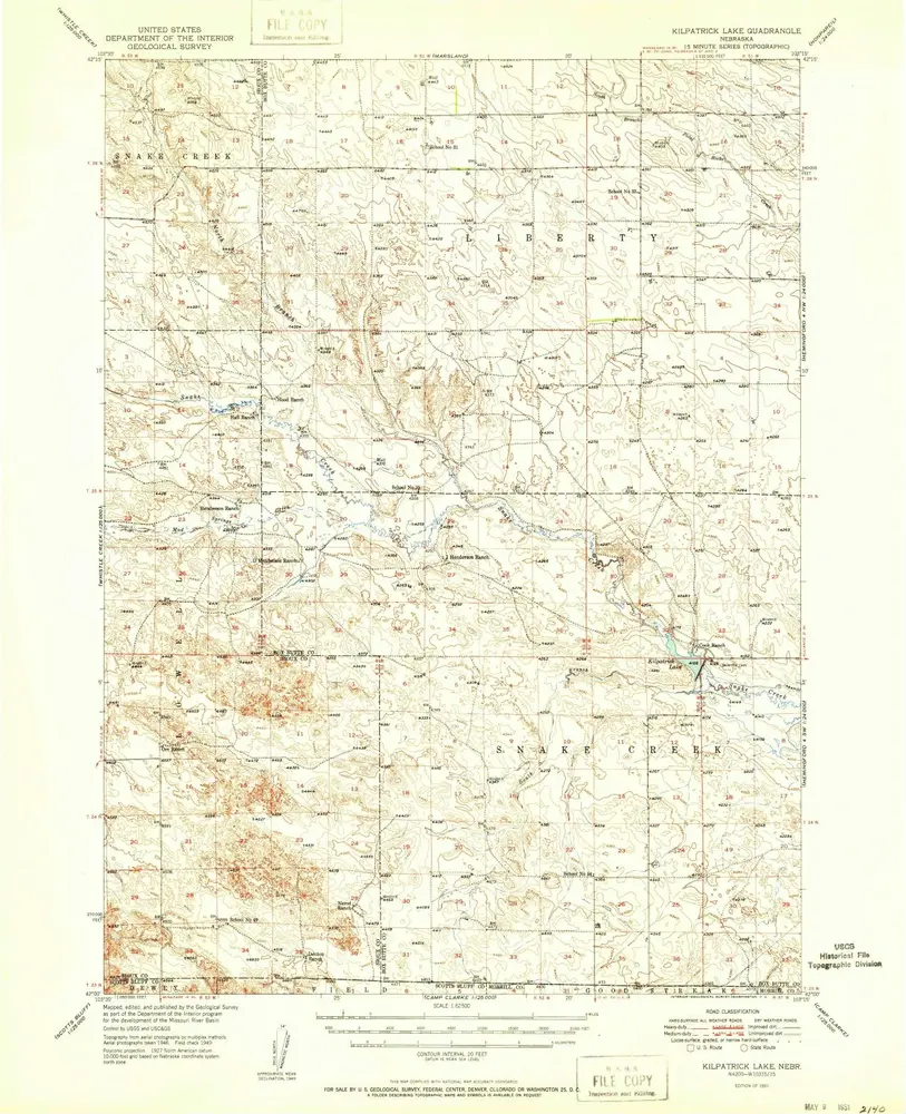
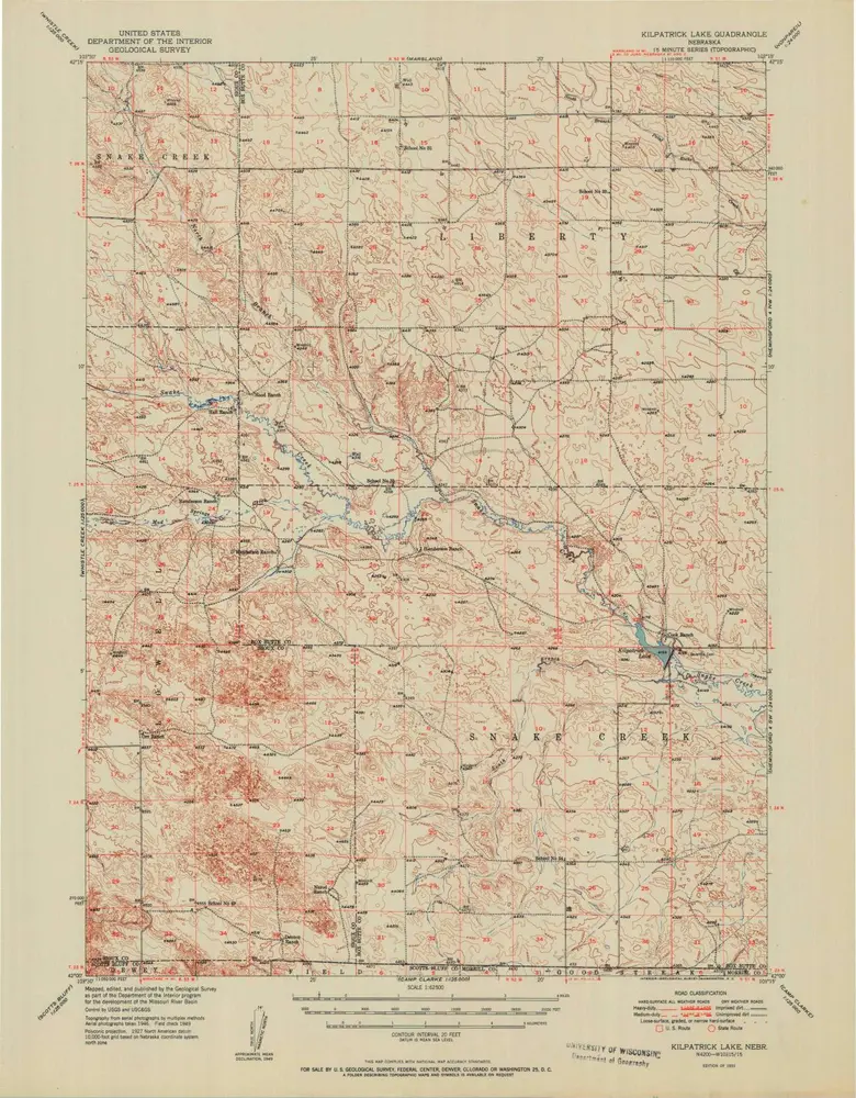
Kilpatrick Lake
1951
1:63k
Kilpatrick Lake
1951
1:63k
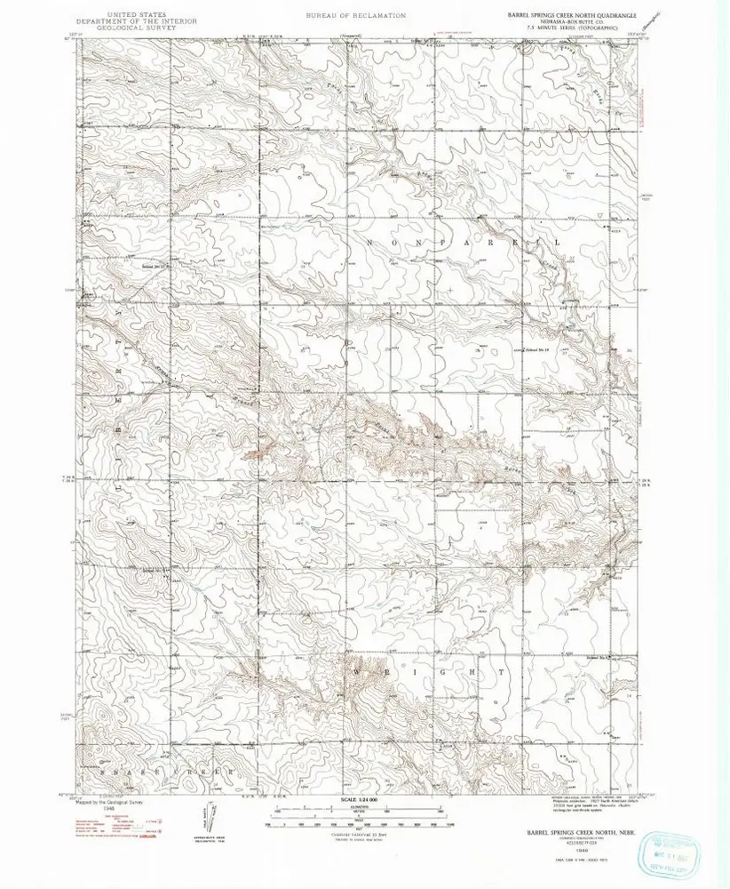
Barrel Springs Creek North
1948
1:24k
Hemingford 4 NW
1948
1:24k
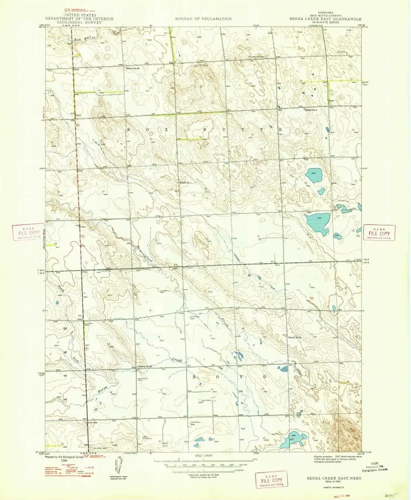
Berea Creek East
1948
1:24k
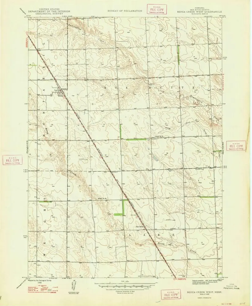
Berea Creek West
1948
1:24k
Marsland SE
1983
1:24k
Nonpareil
1948
1:24k
Box Butte
1947
1:24k
Nonpareil
1946
1:24k
L'histoire