Progetto
Comunità
Notizie
La mia app
Le mie mappe
Skatalogowana mapa
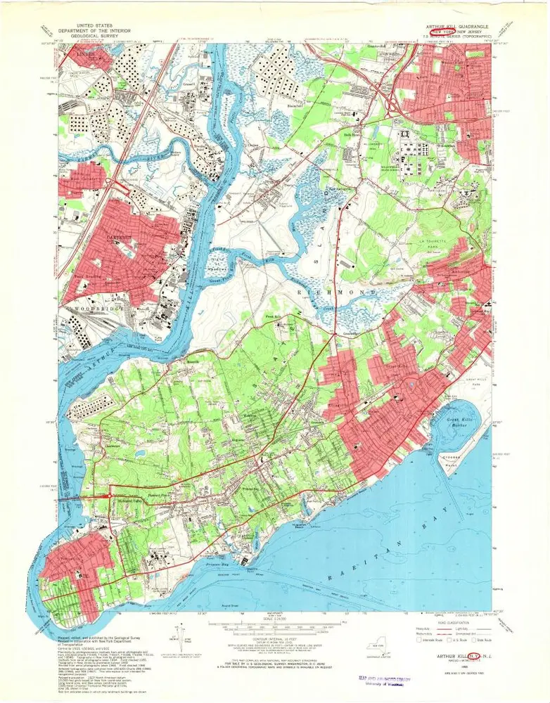
Arthur Kill
Visualizza sul sito web esterno
View digitized
Instytucja:
United States Geological Survey
Pełny tytuł:
Arthur Kill
Rok ilustracji:
1966
Data publikacji:
1969
Skala mapy:
1:24 000
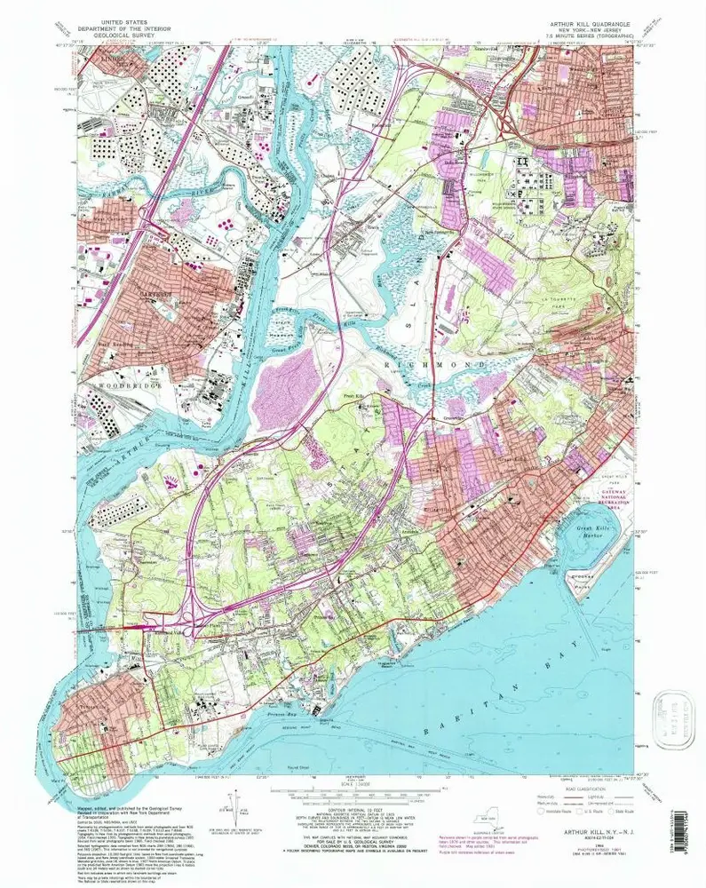
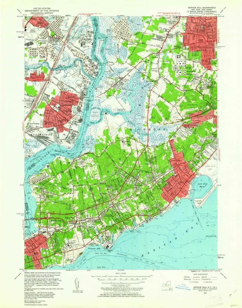
Arthur Kill
1966
1:24k
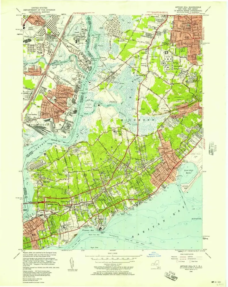
Arthur Kill
1966
1:24k
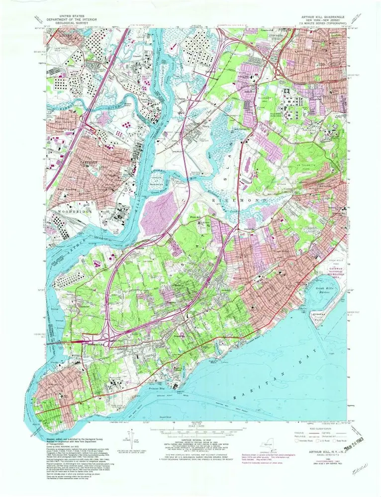
Arthur Kill
1966
1:24k
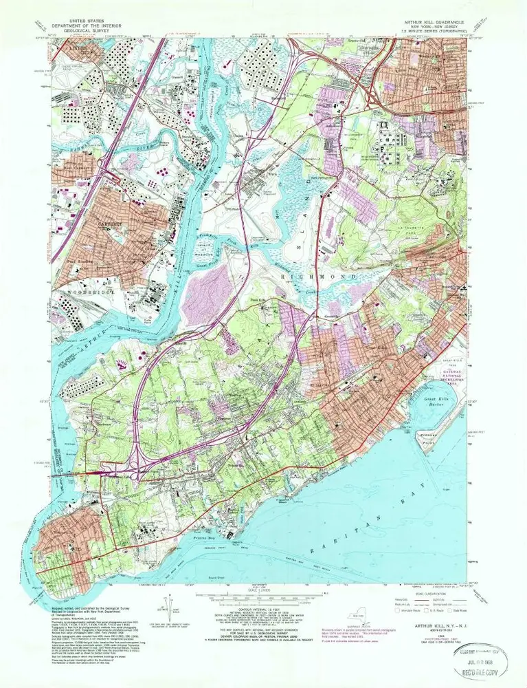
Arthur Kill
1966
1:24k
Arthur Kill
1955
1:24k
Arthur Kill
1955
1:24k
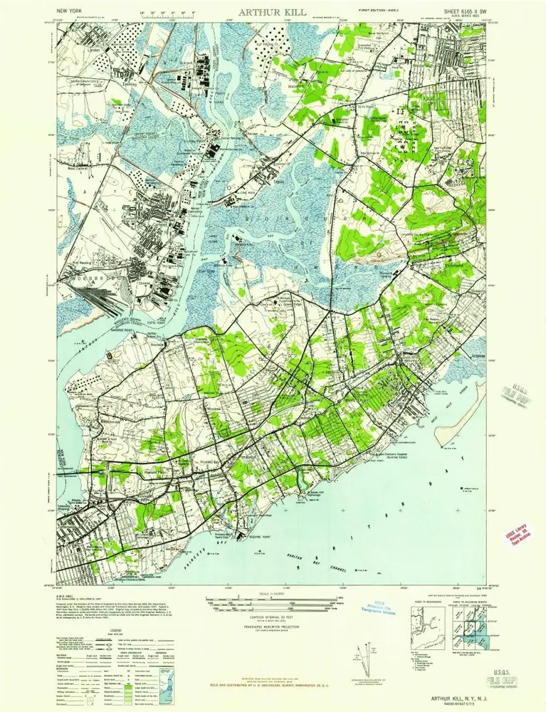
Arthur Kill
1947
1:24k
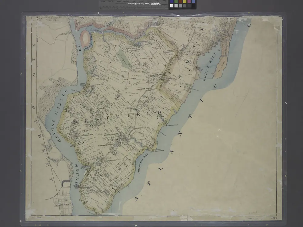
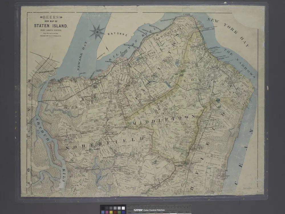
New map of Staten Island
1887
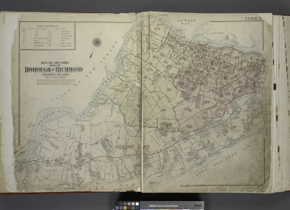
Outline & Index Map of The Borough of Richmond (Staten Island); Explanation; Note.
1917
New map of Staten Island
1887
Historia