Carte cataloguée

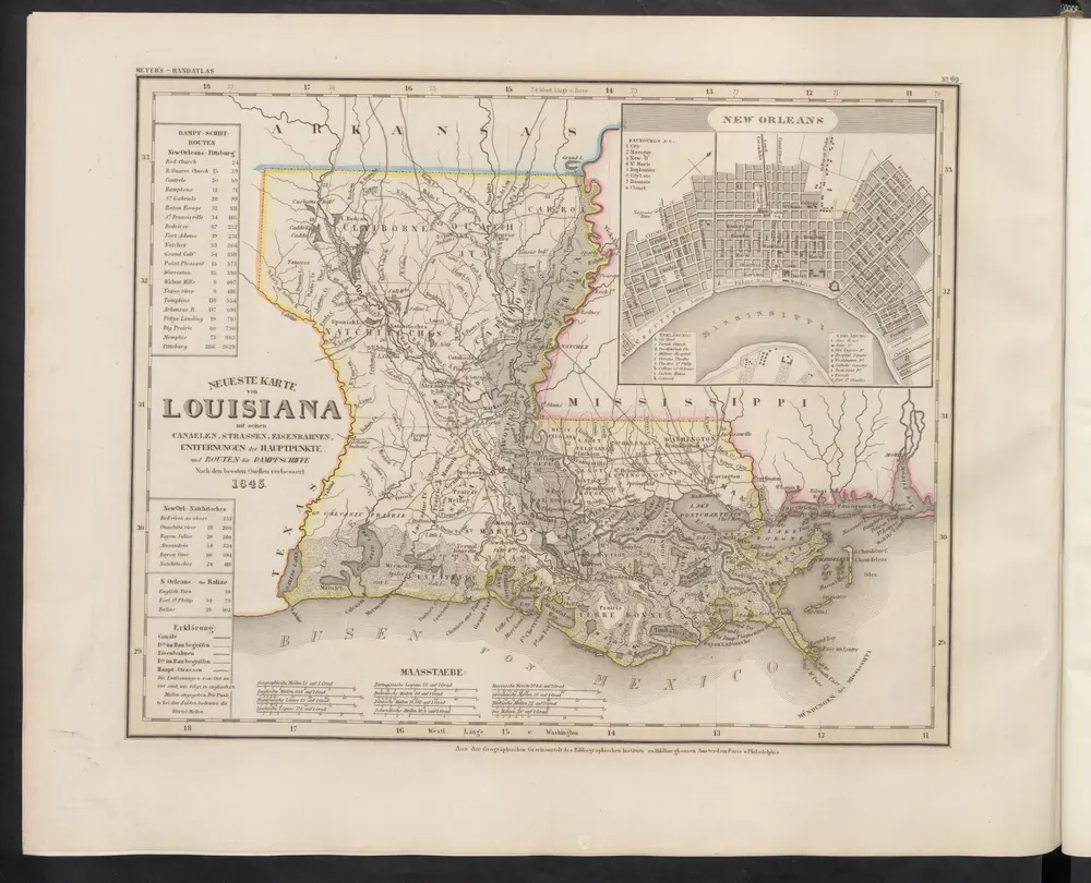
Neueste Karte von Louisiana mit seinen Canaelen, Strassen, Eisenbahnen, Entfernungen der Hauptpunkte und Routen für Dampfschiffe
1860
Meyer, J.
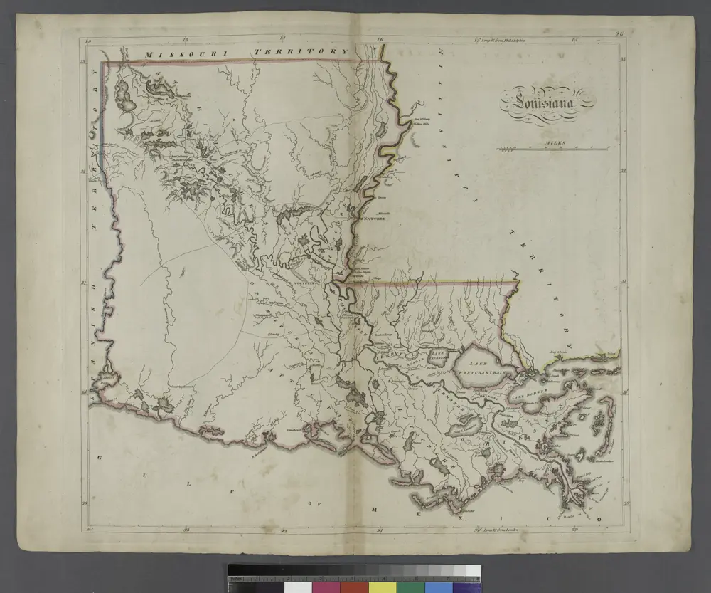
Louisiana.
1814
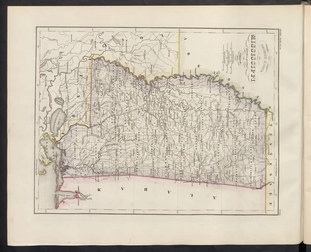
Neueste Karte von Mississippi
1860
Meyer, J.
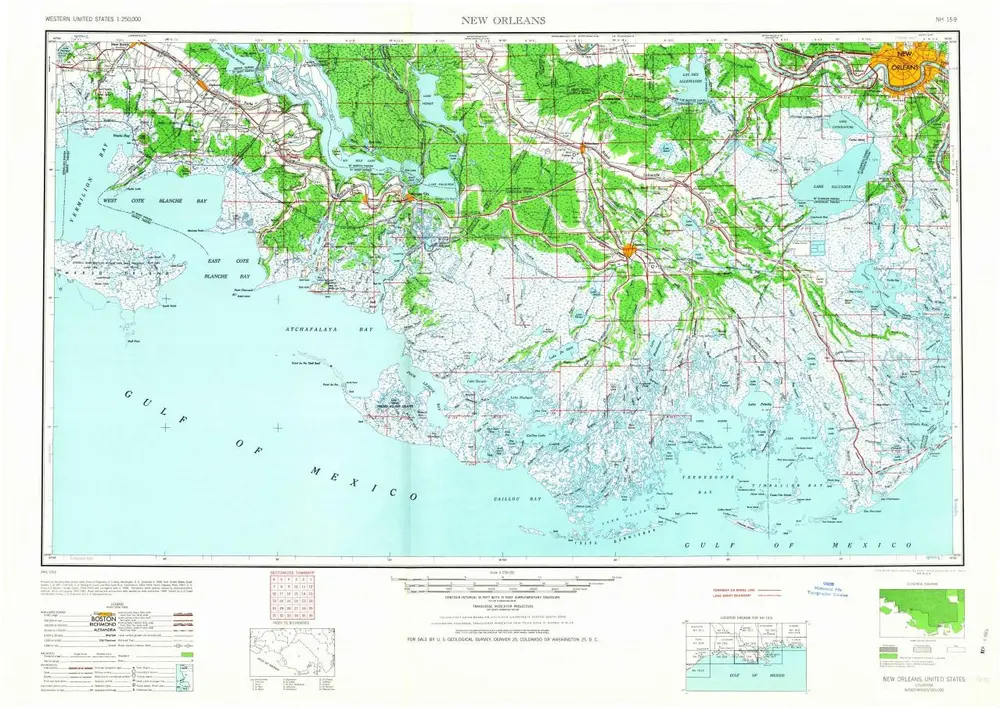
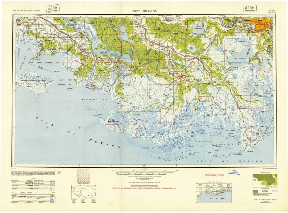
New Orleans
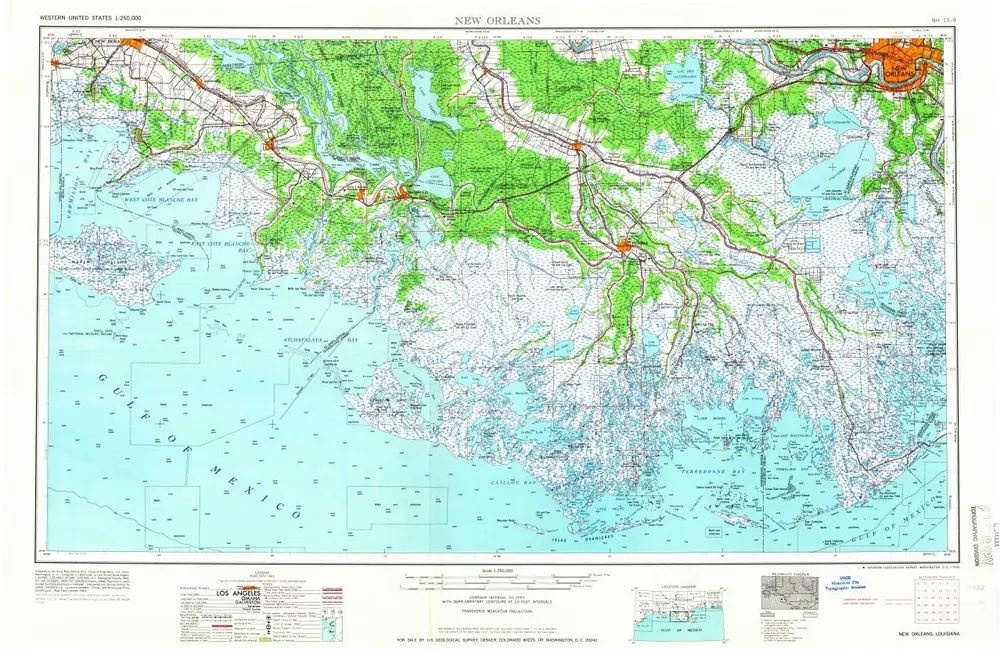
1966
1:250k
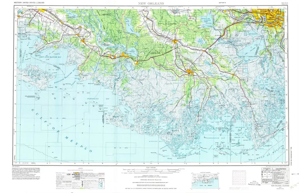
New Orleans
1963
1:250k
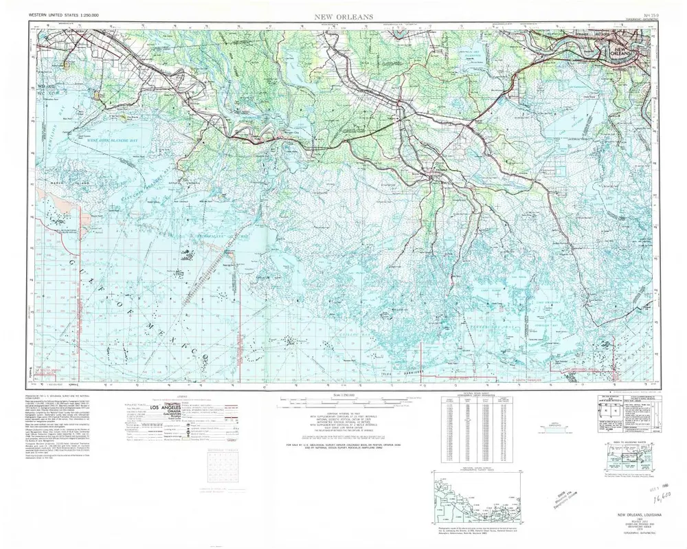
New Orleans
1963
1:250k
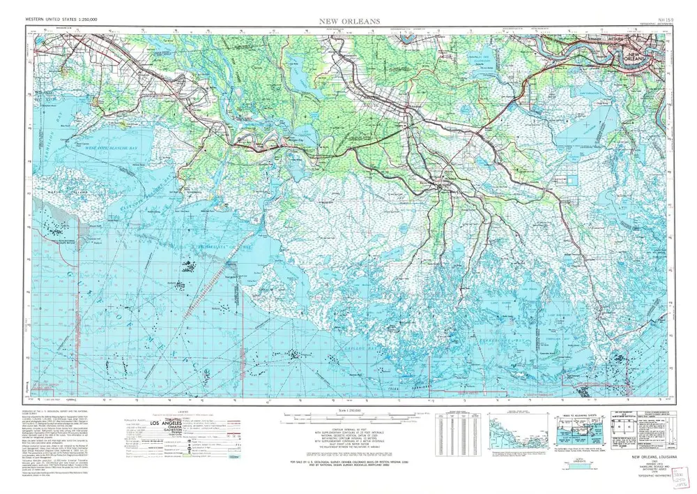
New Orleans
1963
1:250k
New Orleans
1963
1:250k
New Orleans
1945
1:250k
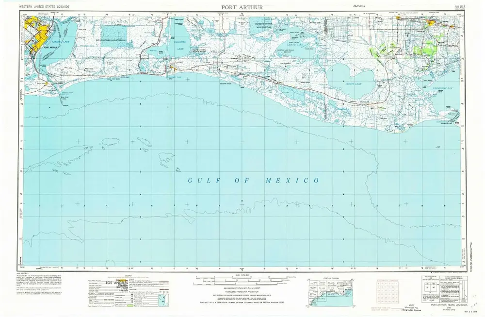
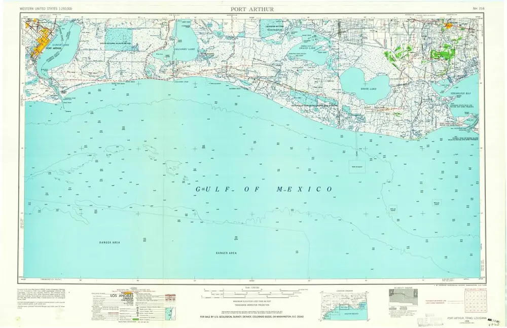
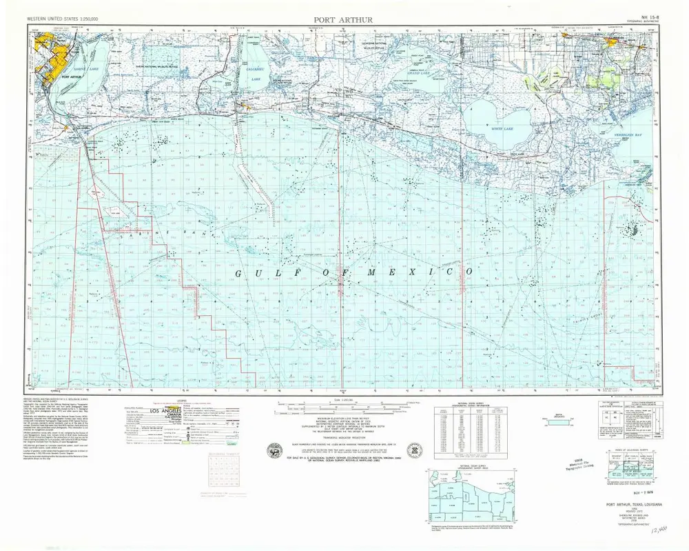
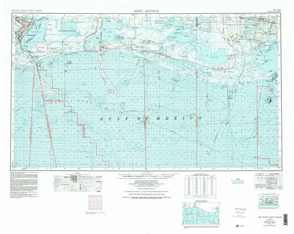
Port Arthur
1973
1:250k
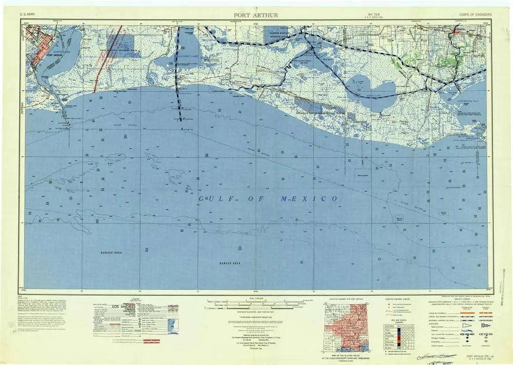
Port Arthur
1959
1:250k
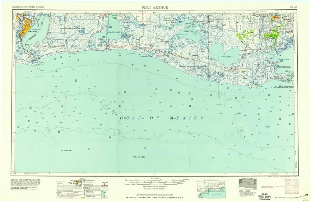
Port Arthur
1958
1:250k
Port Arthur
1956
1:250k
Port Arthur
1956
1:250k
Port Arthur
1956
1:250k
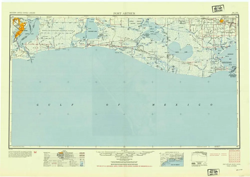
Port Arthur
1954
1:250k