Progetto
Comunità
Notizie
La mia app
Le mie mappe
Katalogisierte Karte
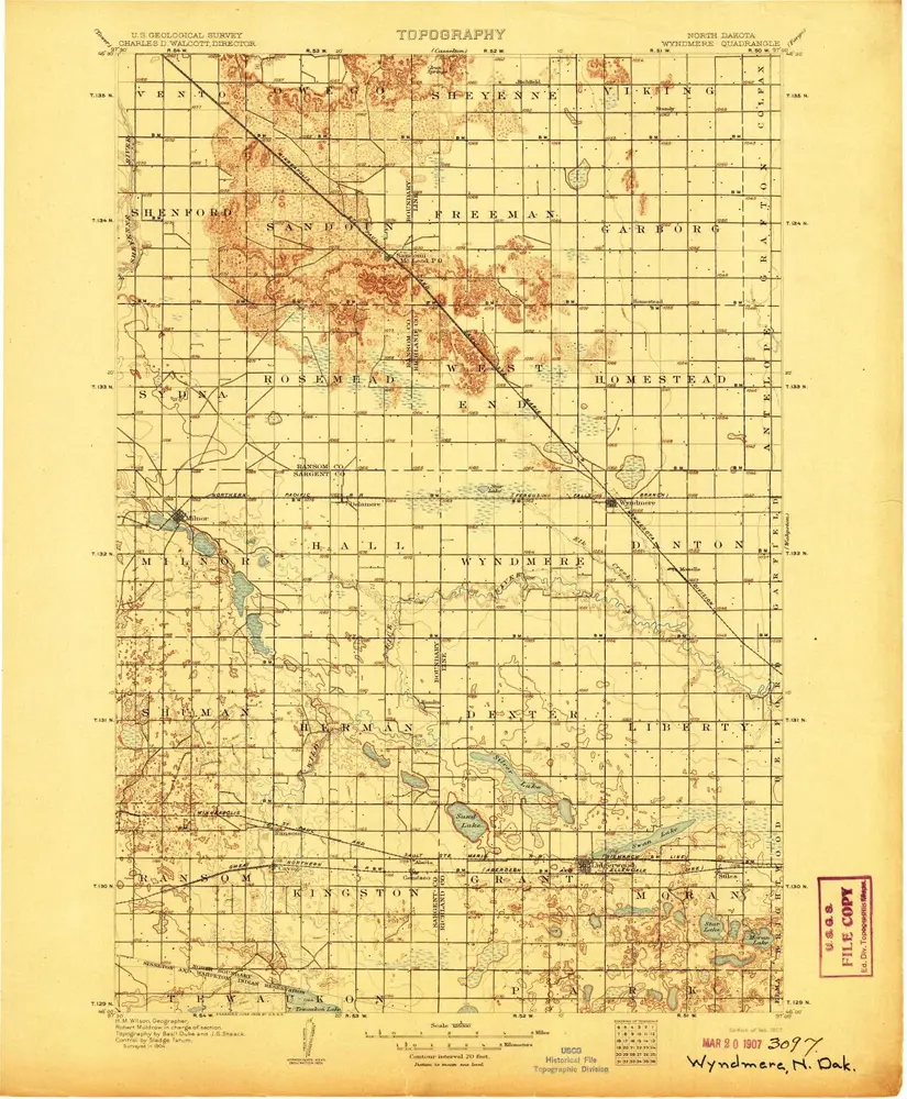
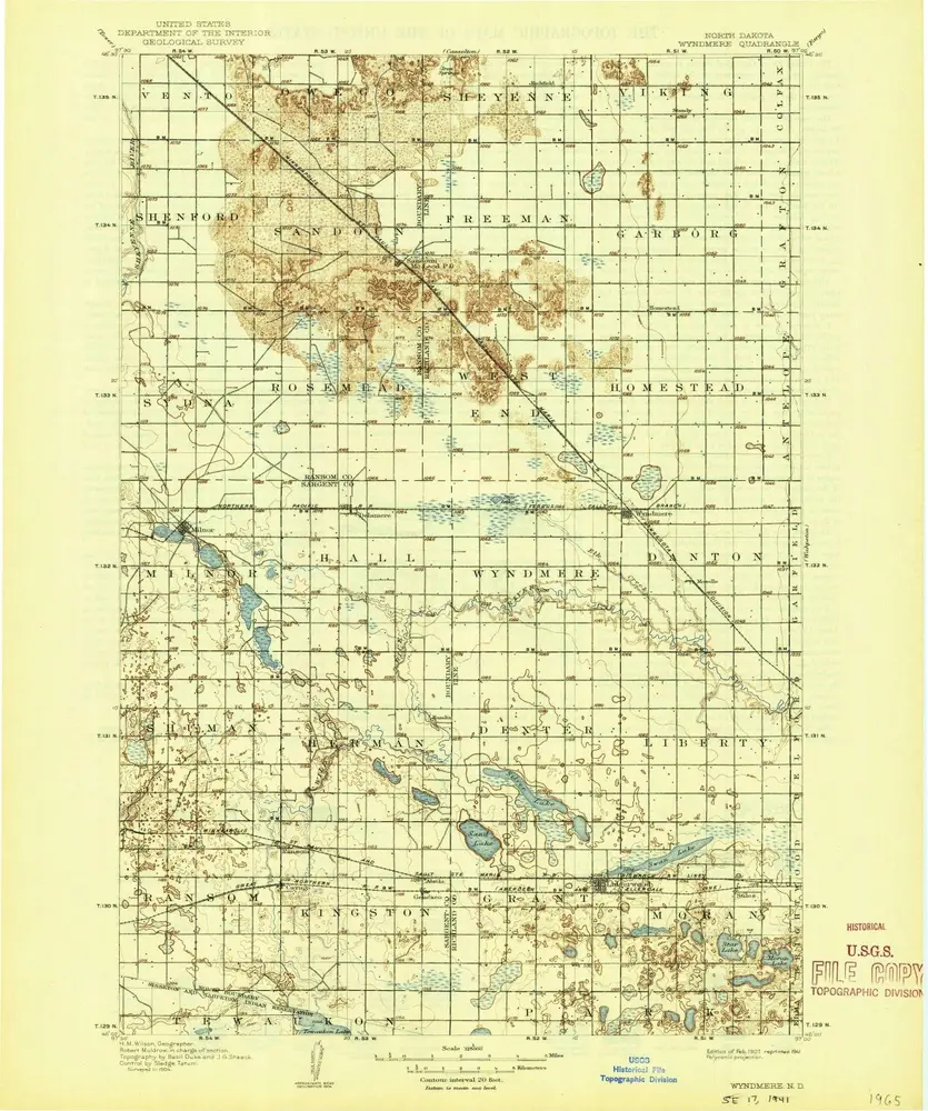
Wyndmere
Visualizza sul sito web esterno
Visualizza digitalizzato
Einrichtung:
United States Geological Survey
Vollständiger Titel:
Wyndmere
Jahr der Abbildung:
1907
Maßstab der Karte:
1:125 000
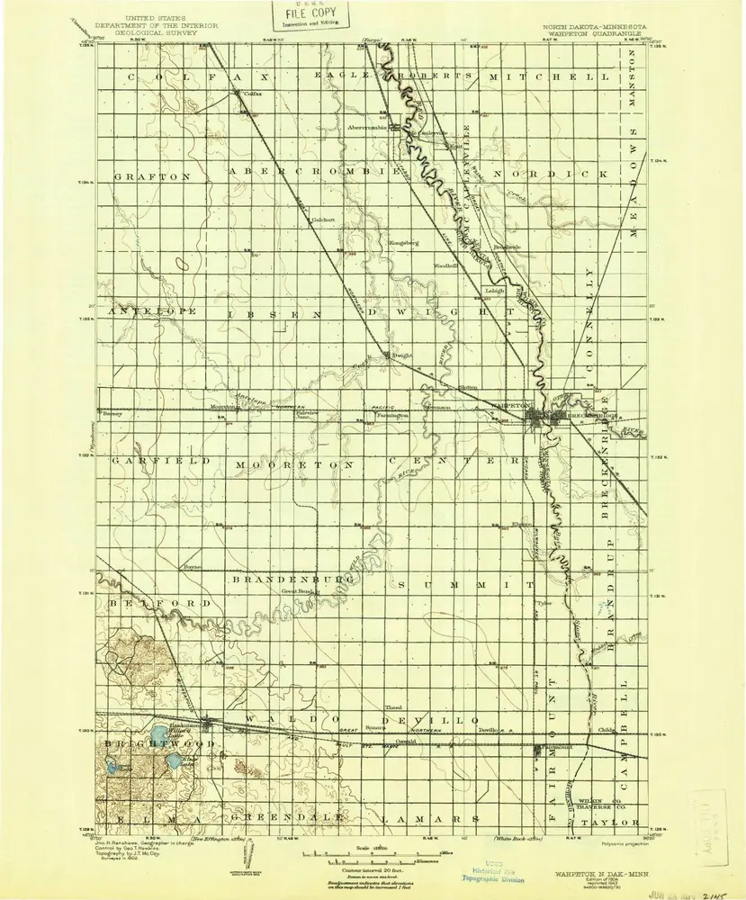
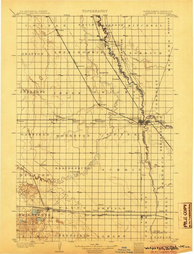
Wahpeton
1904
1:125k
Wahpeton
1904
1:125k
Wyndmere
1907
1:125k
Wyndmere
1907
1:125k
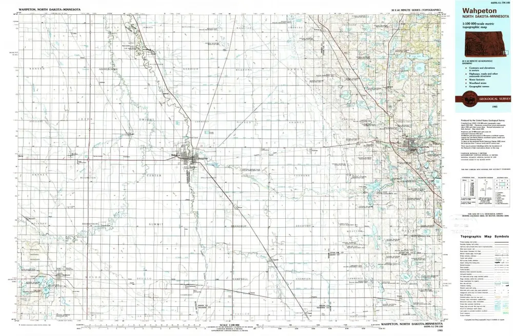
Wahpeton
1985
1:100k
Wahpeton
1985
1:100k
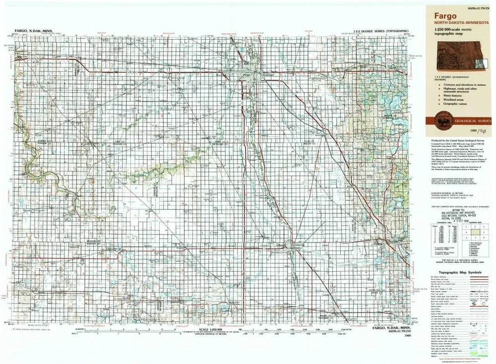
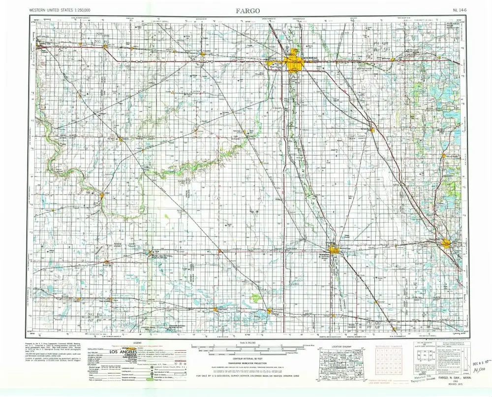
Fargo
1989
1:250k
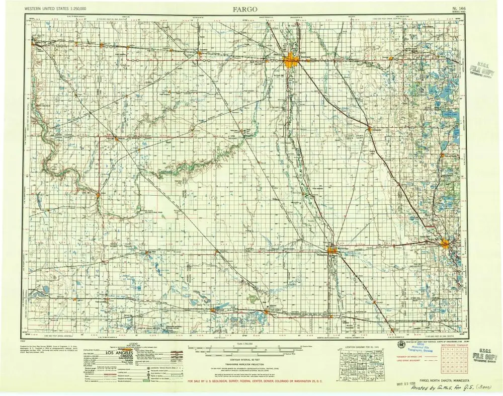
Fargo
1956
1:250k
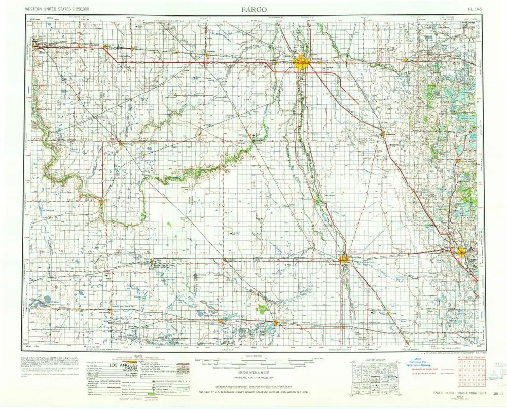
Fargo
1953
1:250k
Fargo
1953
1:250k
Geschichte