Progetto
Comunità
Notizie
La mia app
Le mie mappe
Skatalogowana mapa
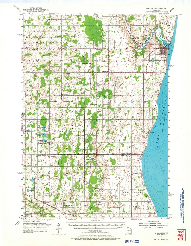
Kewaunee
Visualizza sul sito web esterno
View digitized
Instytucja:
United States Geological Survey
Pełny tytuł:
Kewaunee
Rok ilustracji:
1954
Data publikacji:
1967
Skala mapy:
1:62 500
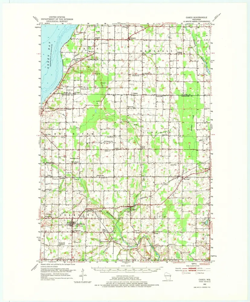
Casco
1952
1:63k
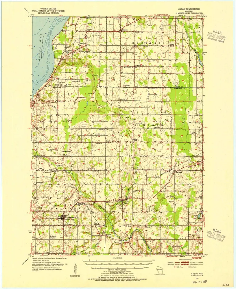
Casco
1952
1:63k
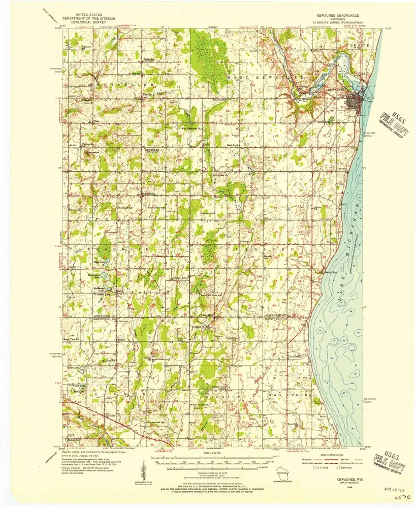
Kewaunee
1954
1:63k
Kewaunee
1954
1:63k
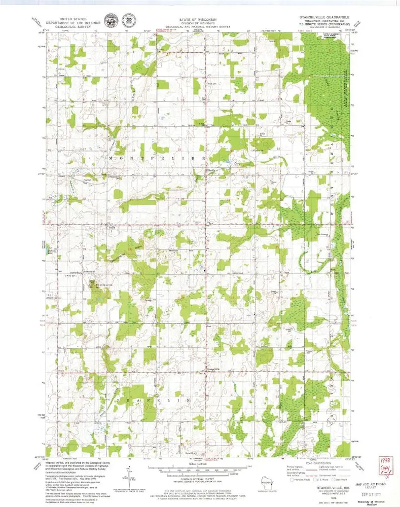
Stangelville
1978
1:24k
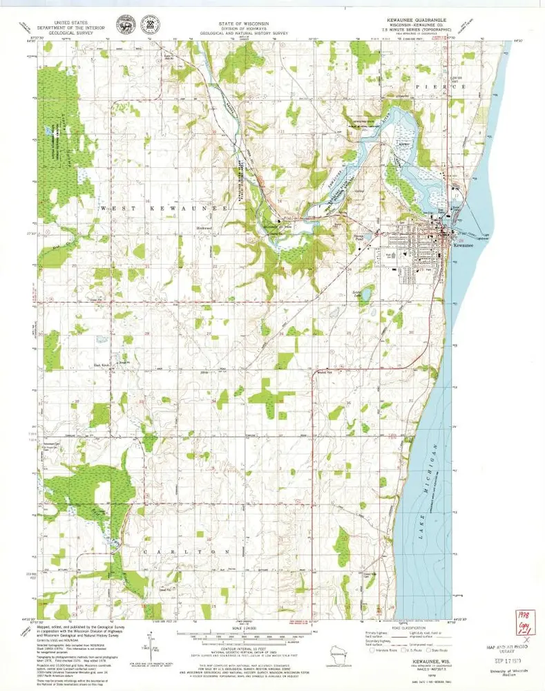
Kewaunee
1978
1:24k
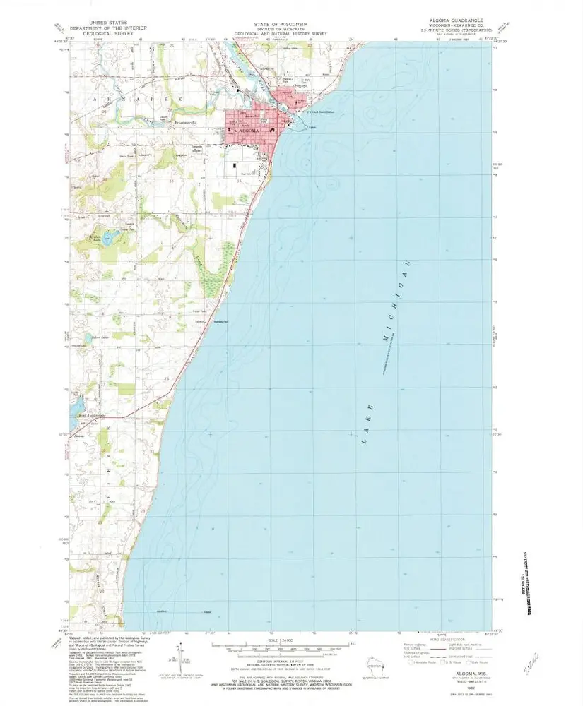
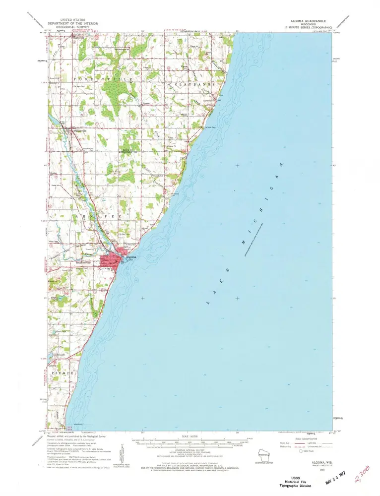
Algoma
1982
1:24k
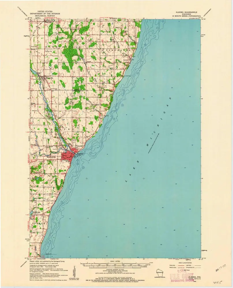
Algoma
1960
1:63k
Algoma
1960
1:63k
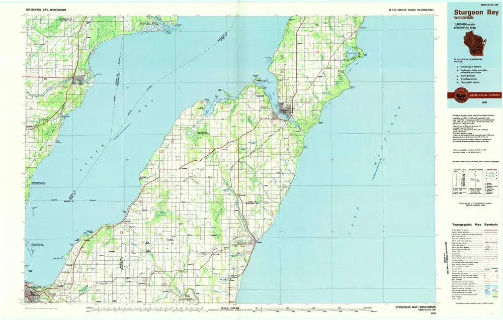
Sturgeon Bay
1984
1:100k
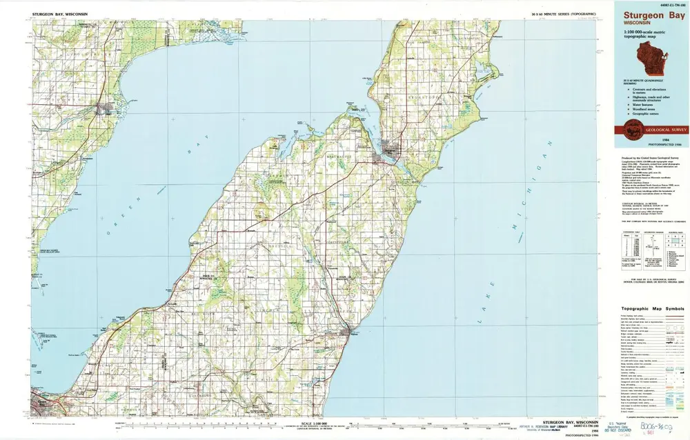
Sturgeon Bay
1984
1:100k
Historia