Progetto
Comunità
Notizie
La mia app
Le mie mappe
Katalogisierte Karte
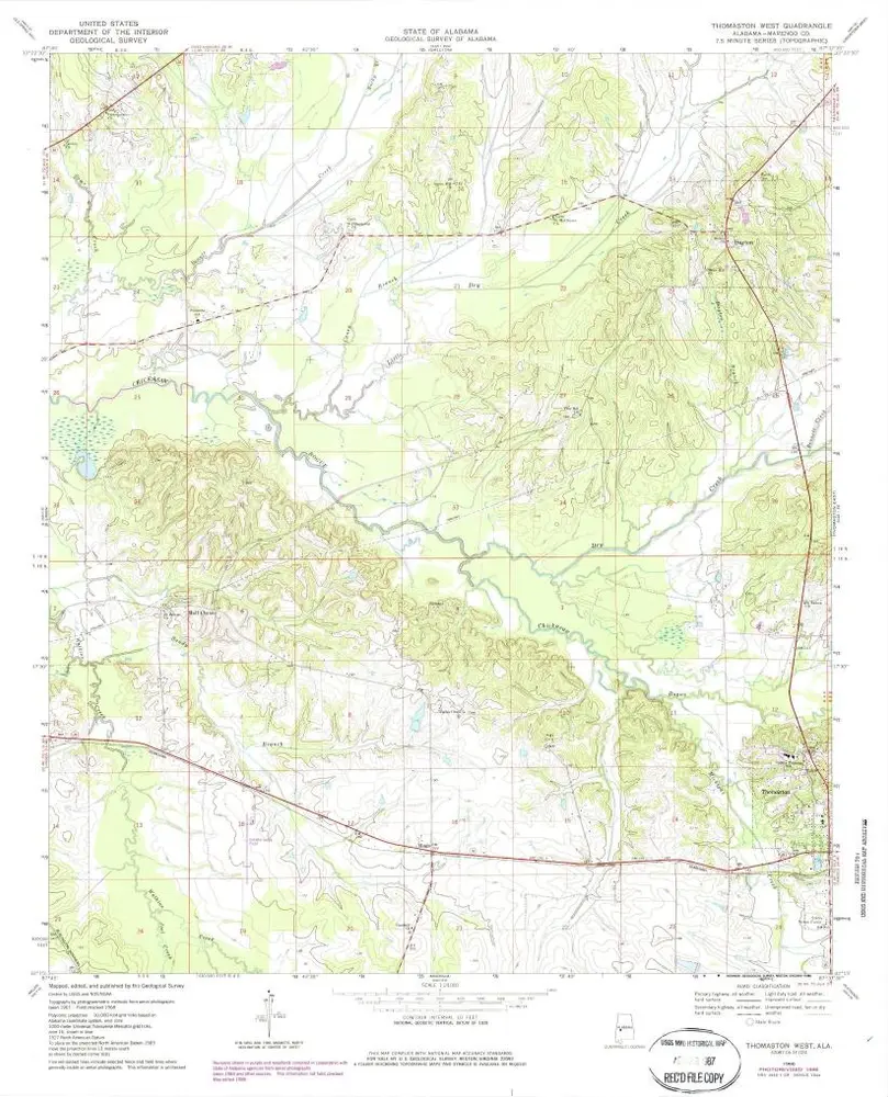
Thomaston West
Visualizza sul sito web esterno
Visualizza digitalizzato
Einrichtung:
United States Geological Survey
Vollständiger Titel:
Thomaston West
Jahr der Abbildung:
1968
Veröffentlichungsdatum:
1986
Maßstab der Karte:
1:24 000
Thomaston West
1968
1:24k
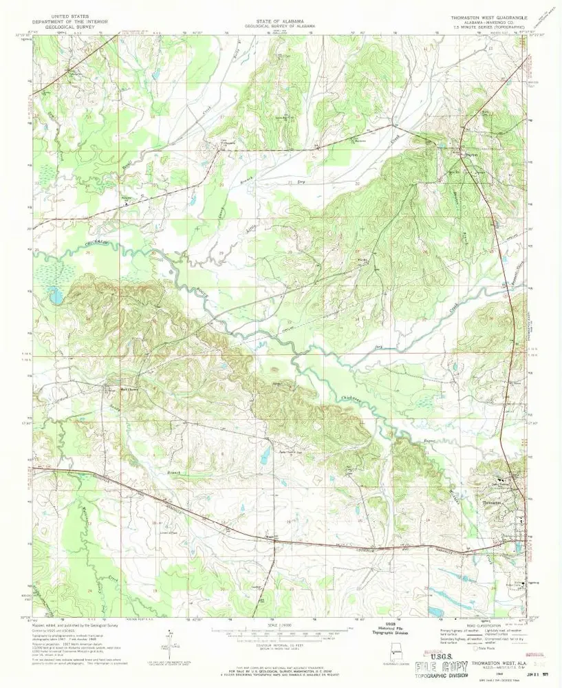
Thomaston West
1968
1:24k
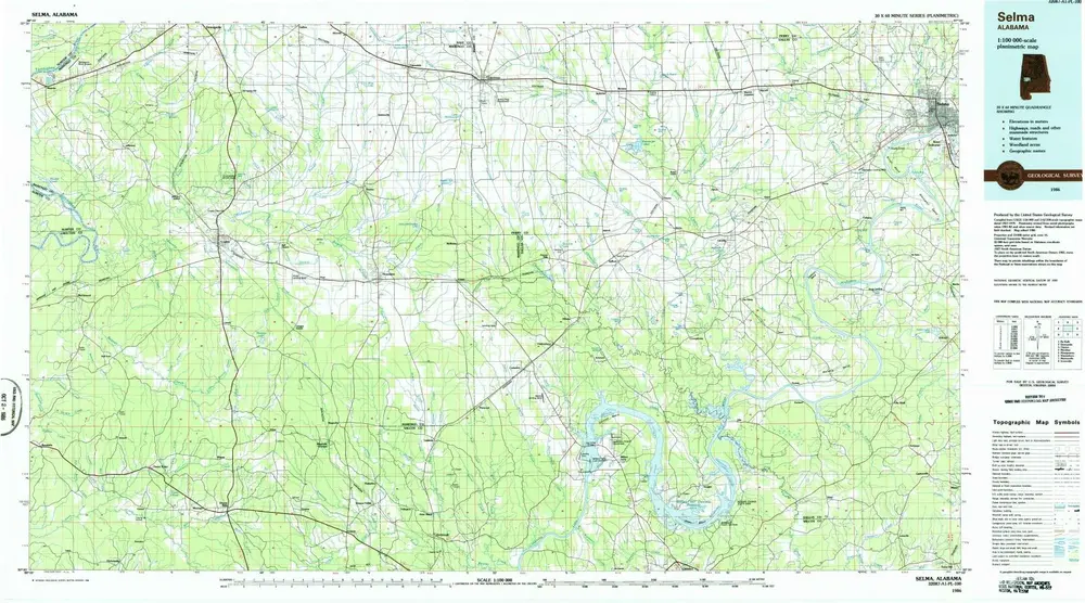
Selma
1986
1:100k
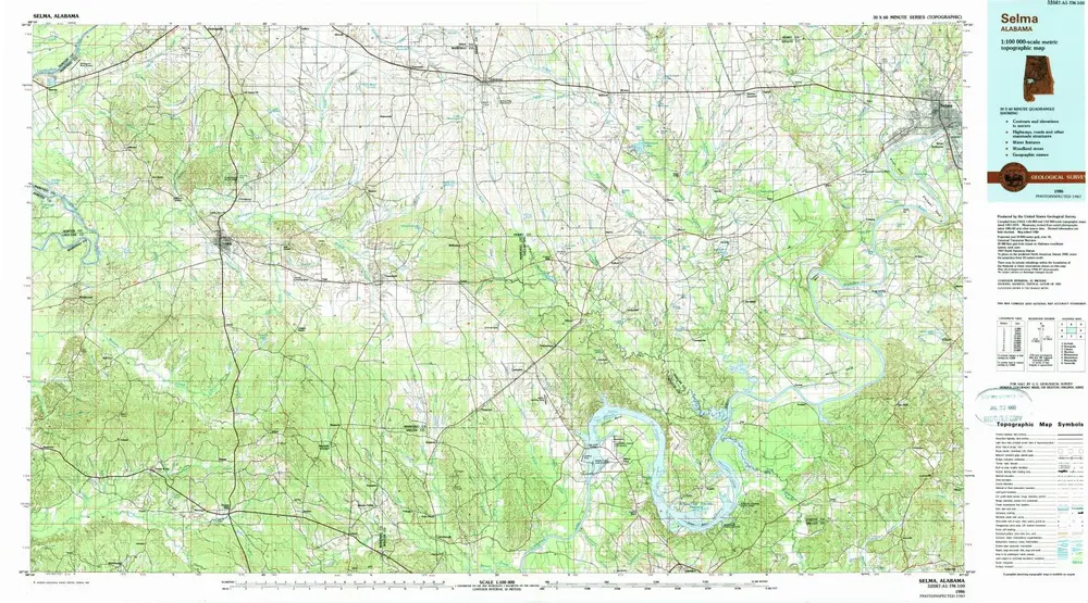
Selma
1986
1:100k
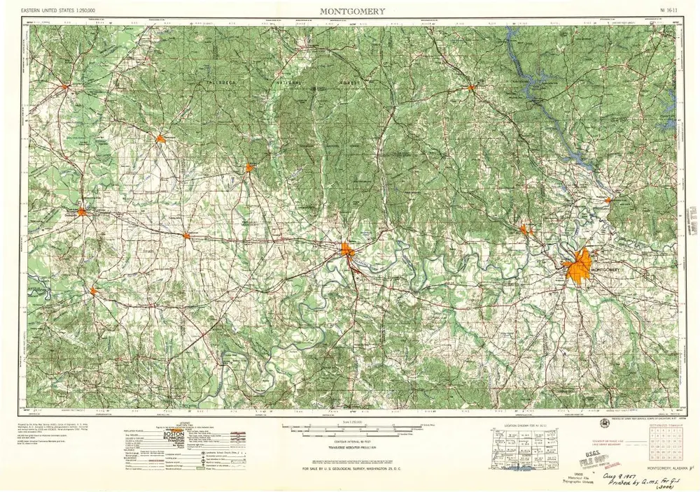
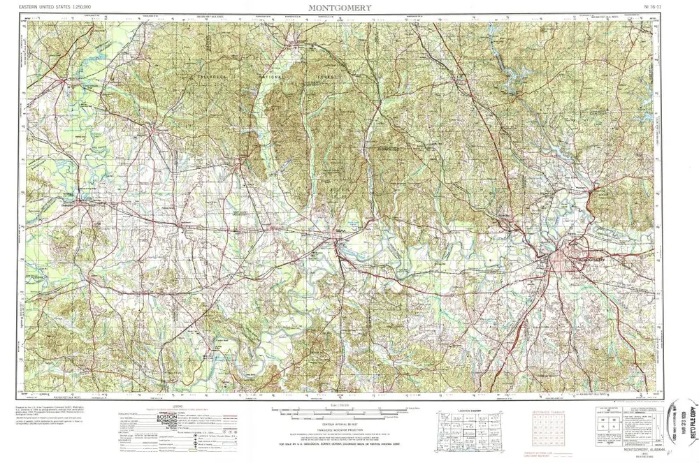
Montgomery
1957
1:250k
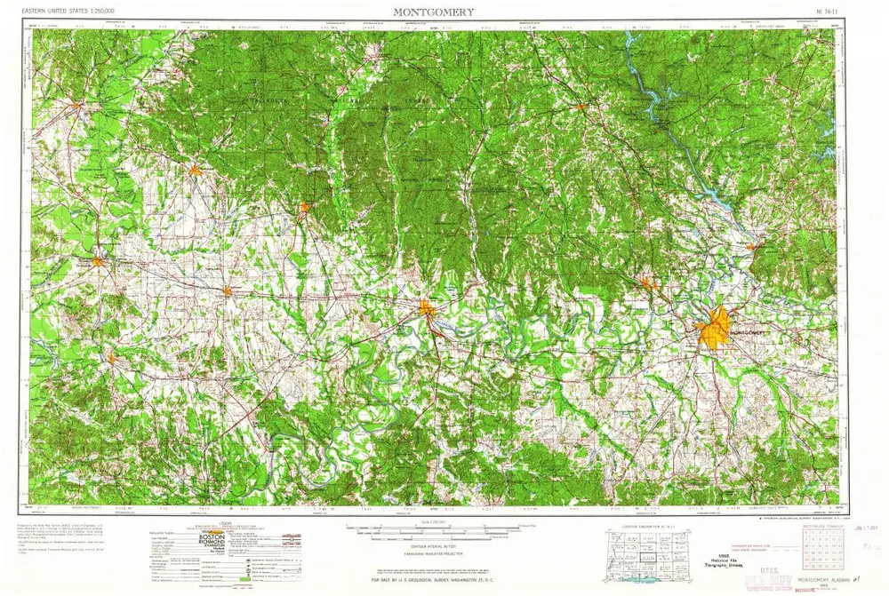
Montgomery
1953
1:250k
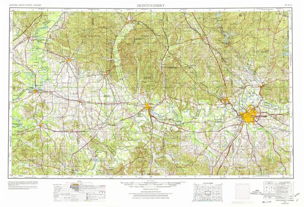
Montgomery
1953
1:250k
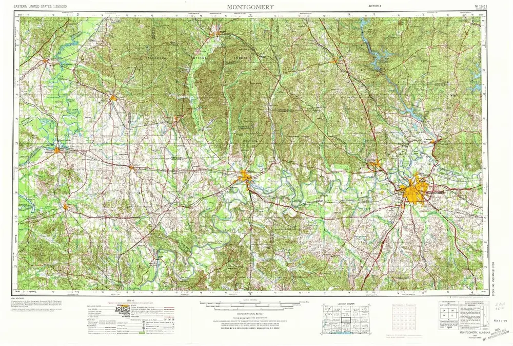
Montgomery
1953
1:250k
Montgomery
1953
1:250k
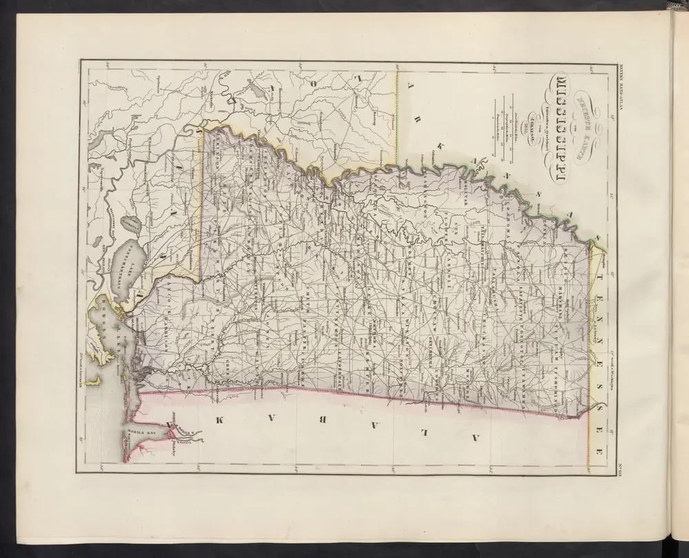
Neueste Karte von Mississippi
1860
Meyer, J.
Geschichte