Progetto
Comunità
Notizie
La mia app
Le mie mappe
Katalogisierte Karte
Lastrup
Visualizza sul sito web esterno
Visualizza digitalizzato
Einrichtung:
United States Geological Survey
Vollständiger Titel:
Lastrup
Jahr der Abbildung:
1981
Veröffentlichungsdatum:
1982
Maßstab der Karte:
1:24 000
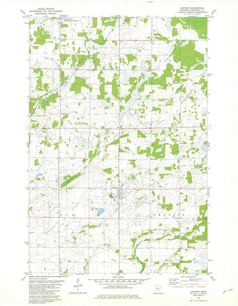
Lastrup
1981
1:24k
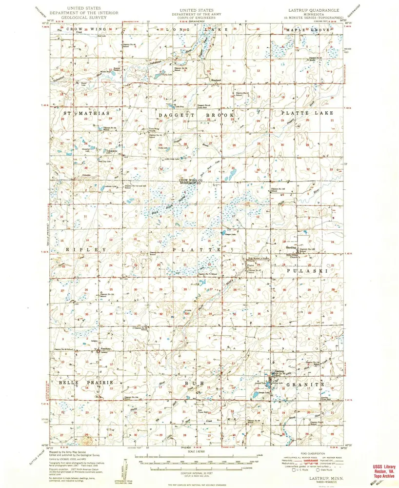
Lastrup
1950
1:63k
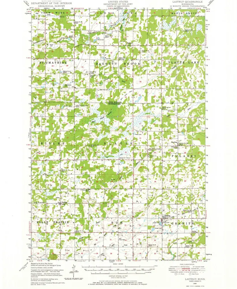
Lastrup
1948
1:63k
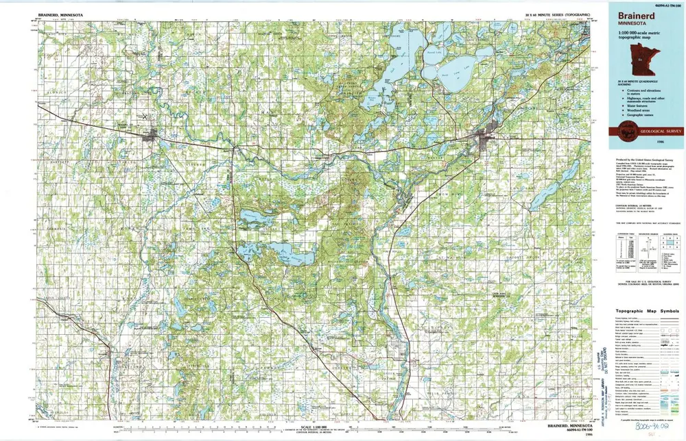
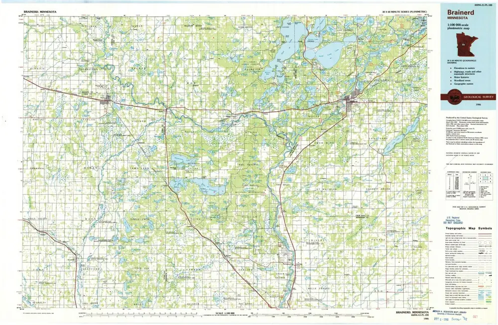
Brainerd
1986
1:100k
Brainerd
1986
1:100k
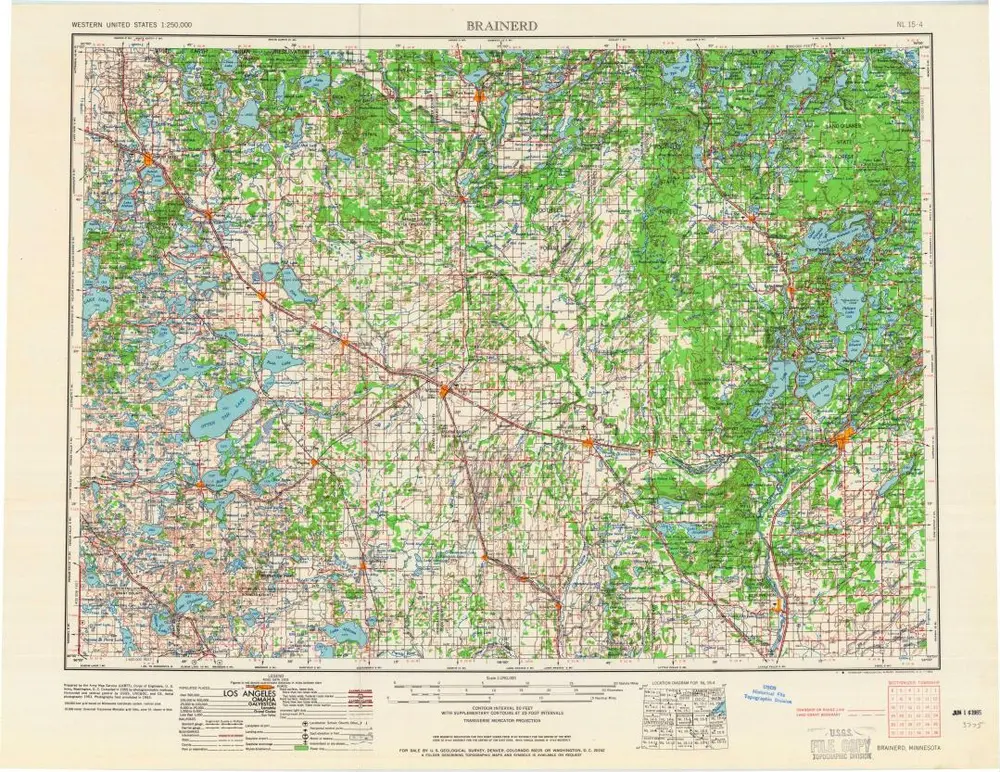
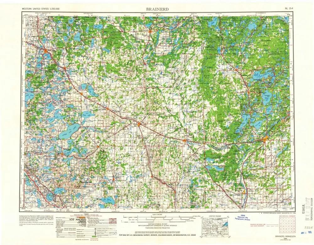
Brainerd
1965
1:250k
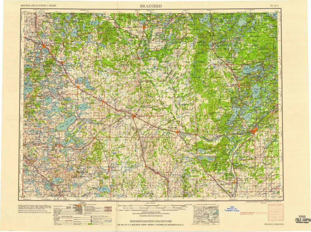
Brainerd
1958
1:250k
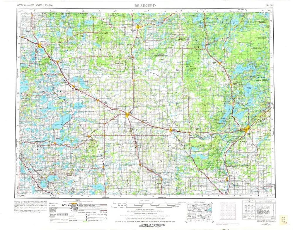
Brainerd
1953
1:250k
Brainerd
1953
1:250k
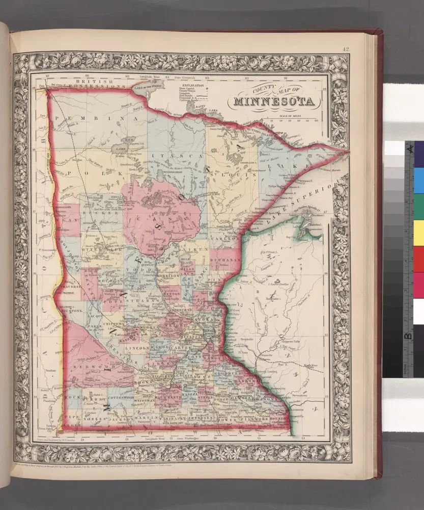
County map of Minnesota.
1860
Geschichte