Katalogisierte Karte
Sherwood Point

Einrichtung:United States Geological Survey
Vollständiger Titel:Sherwood Point
Jahr der Abbildung:1951
Veröffentlichungsdatum:1952
Maßstab der Karte:1:31 680
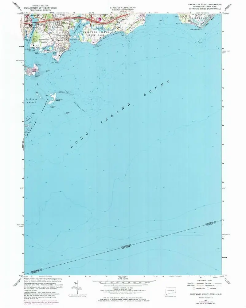
Sherwood Point
1960
1:24k
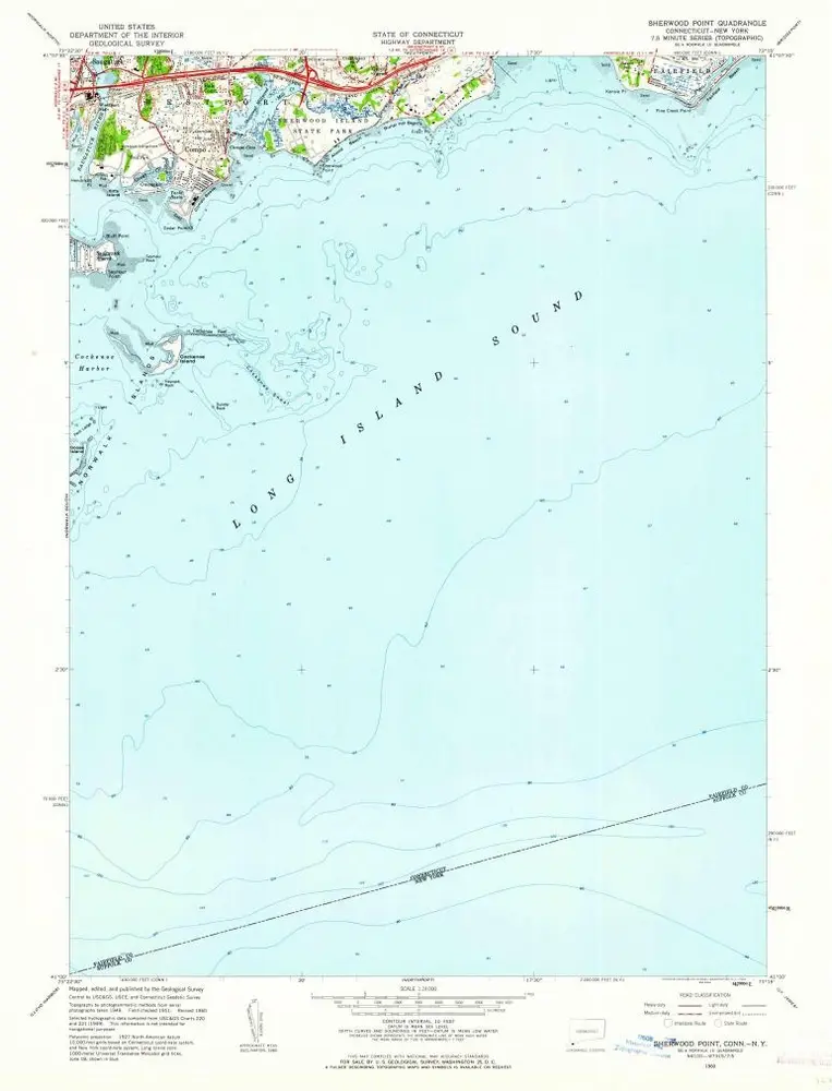
Sherwood Point
1960
1:24k
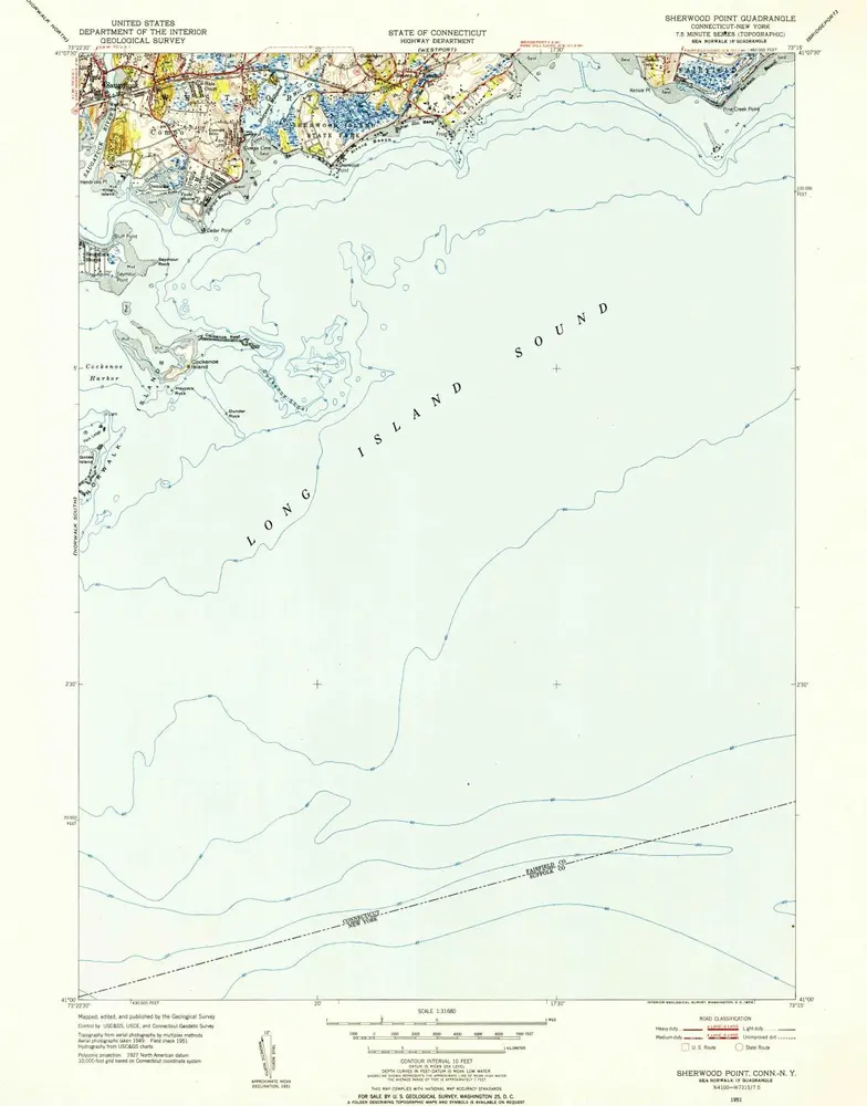
Sherwood Point
1951
1:32k
Sherwood Point
1951
1:32k
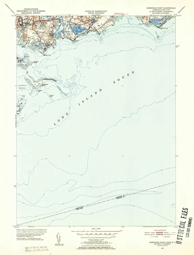
Sherwood Point
1951
1:24k
Sherwood Point
1951
1:24k
Sherwood Point
1947
1:32k
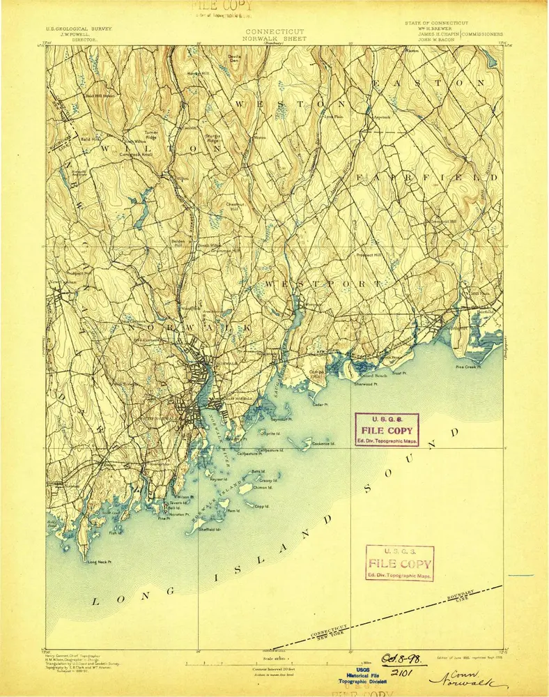
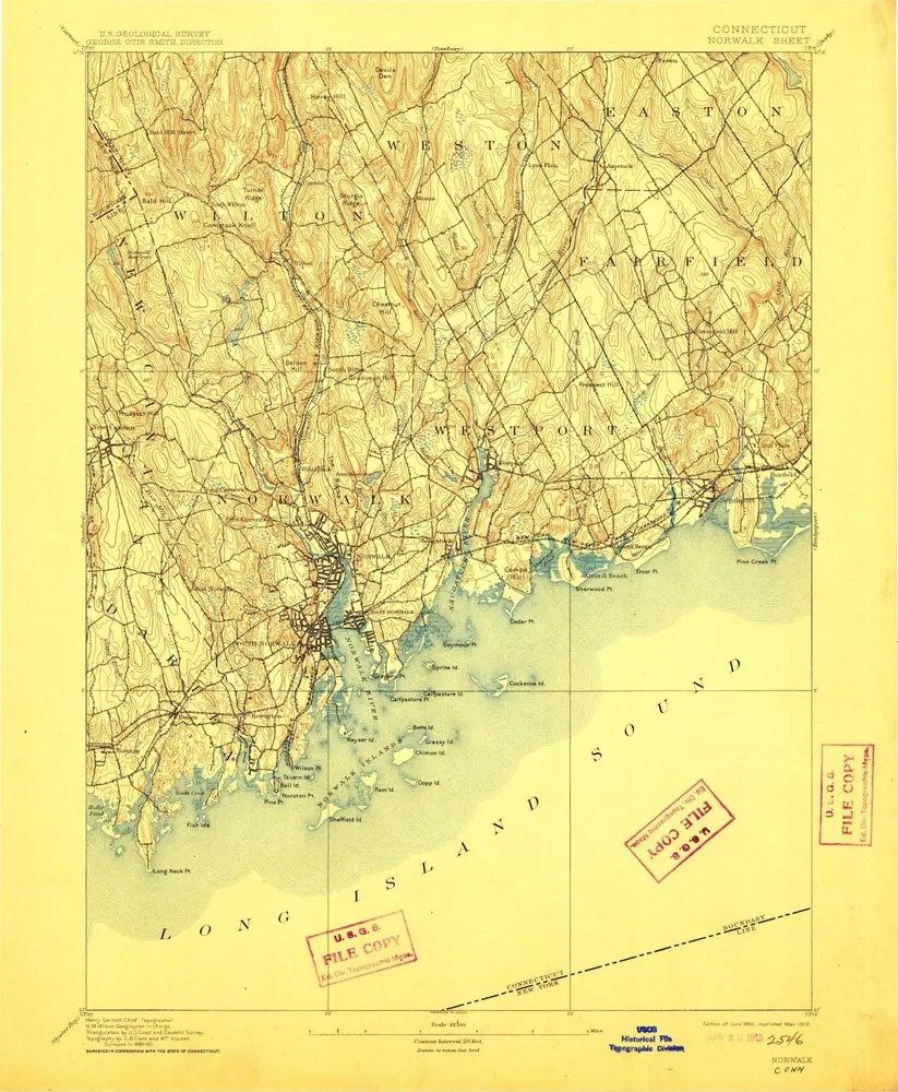
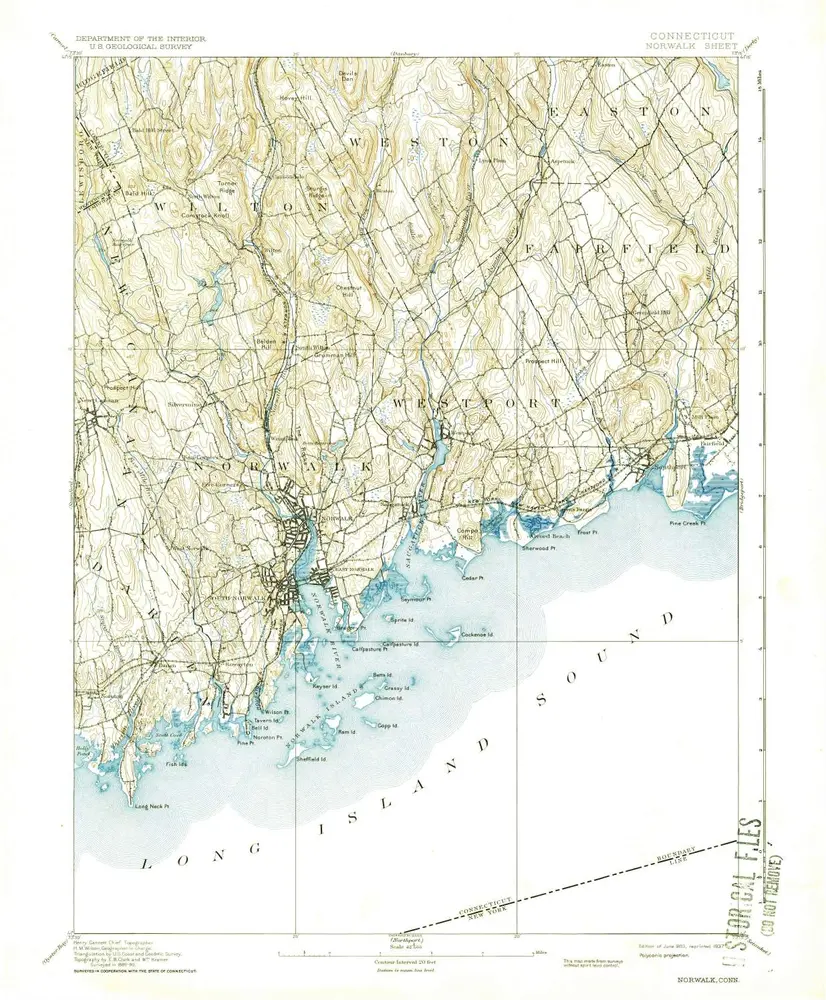
Norwalk
1893
1:63k
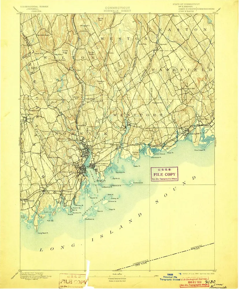
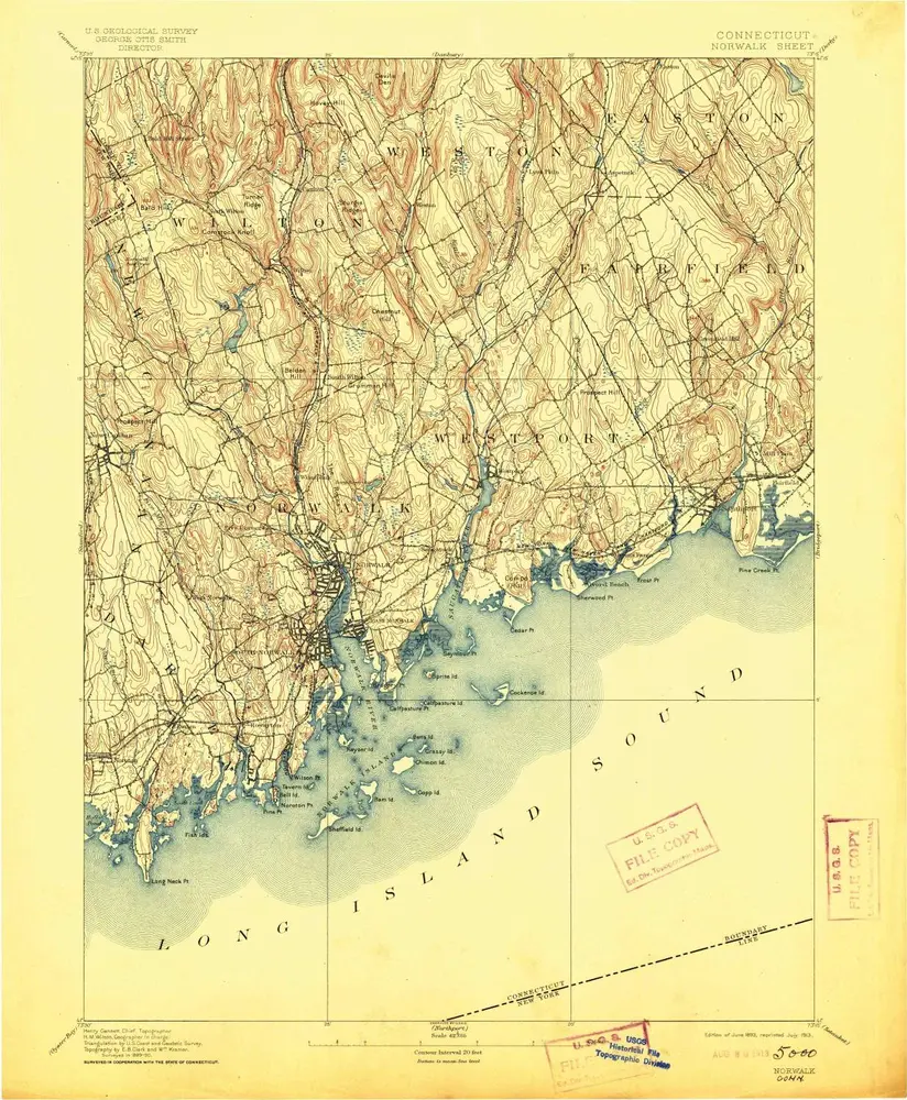
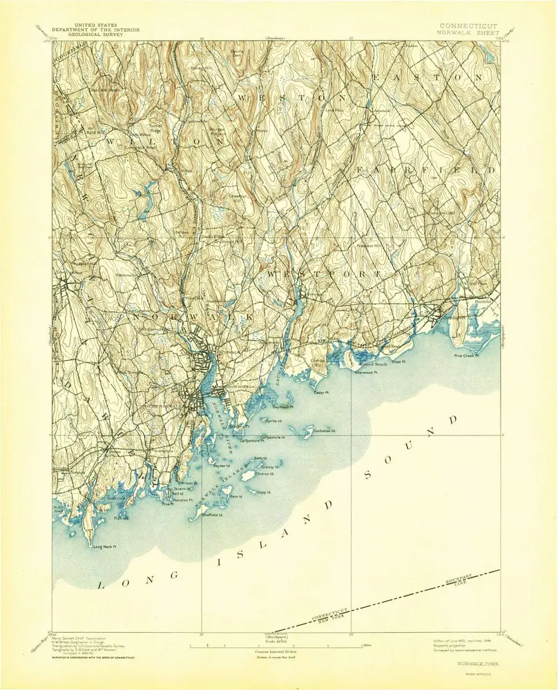
Norwalk
1893
1:63k
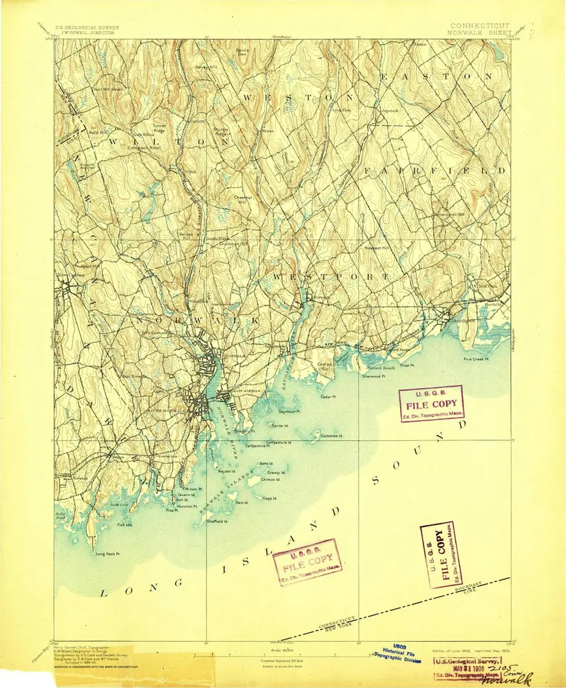
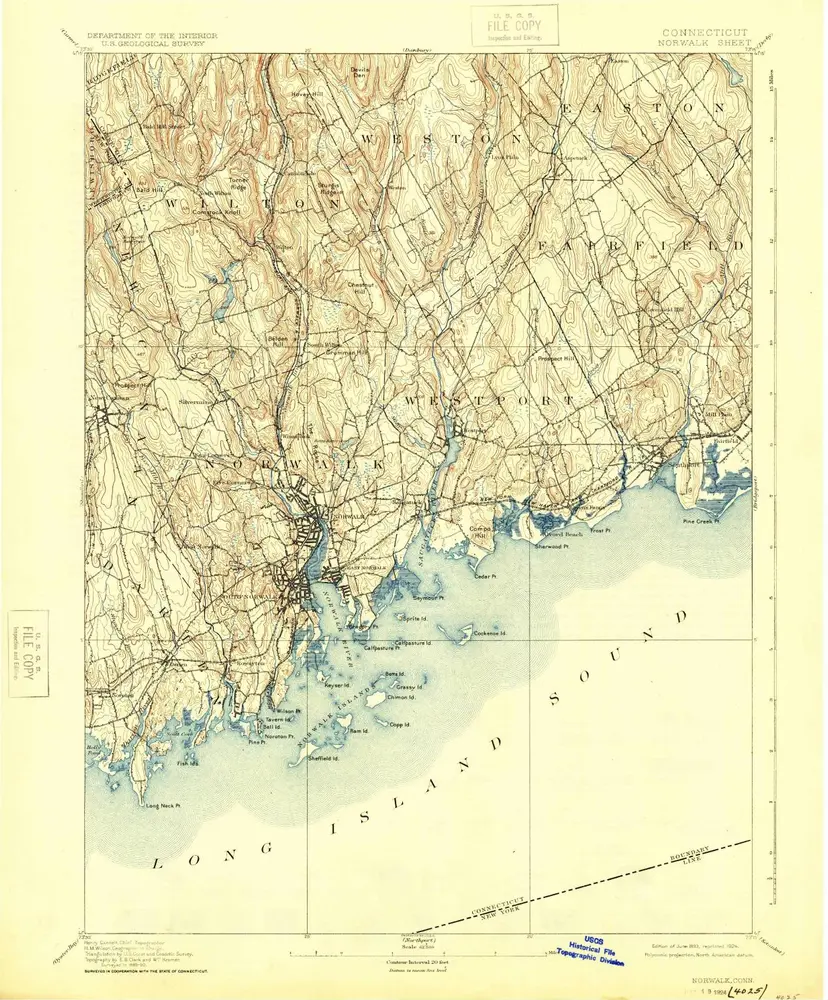
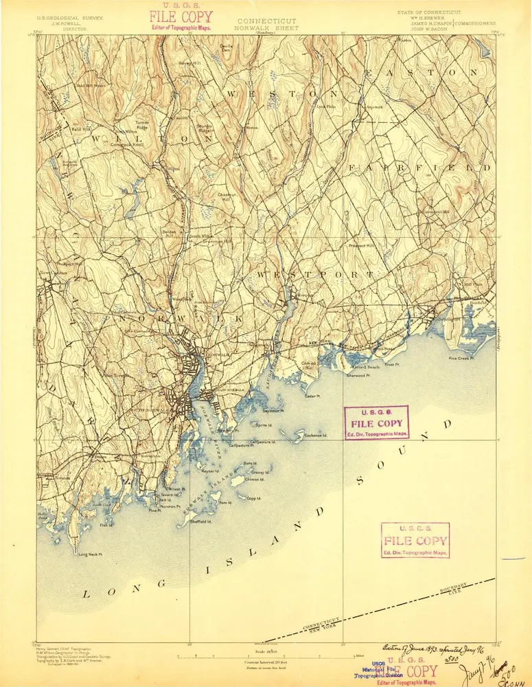
Norwalk
1893
1:63k
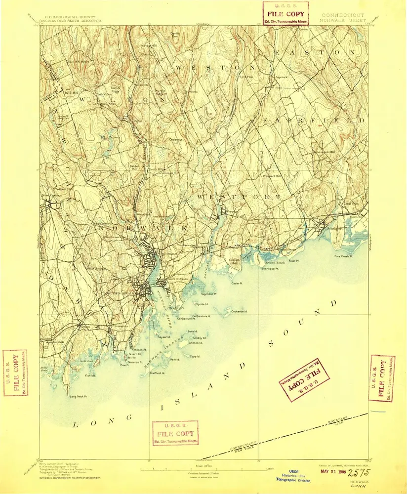
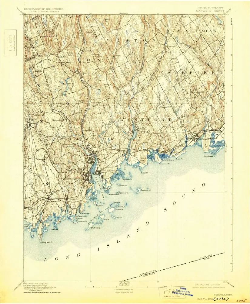
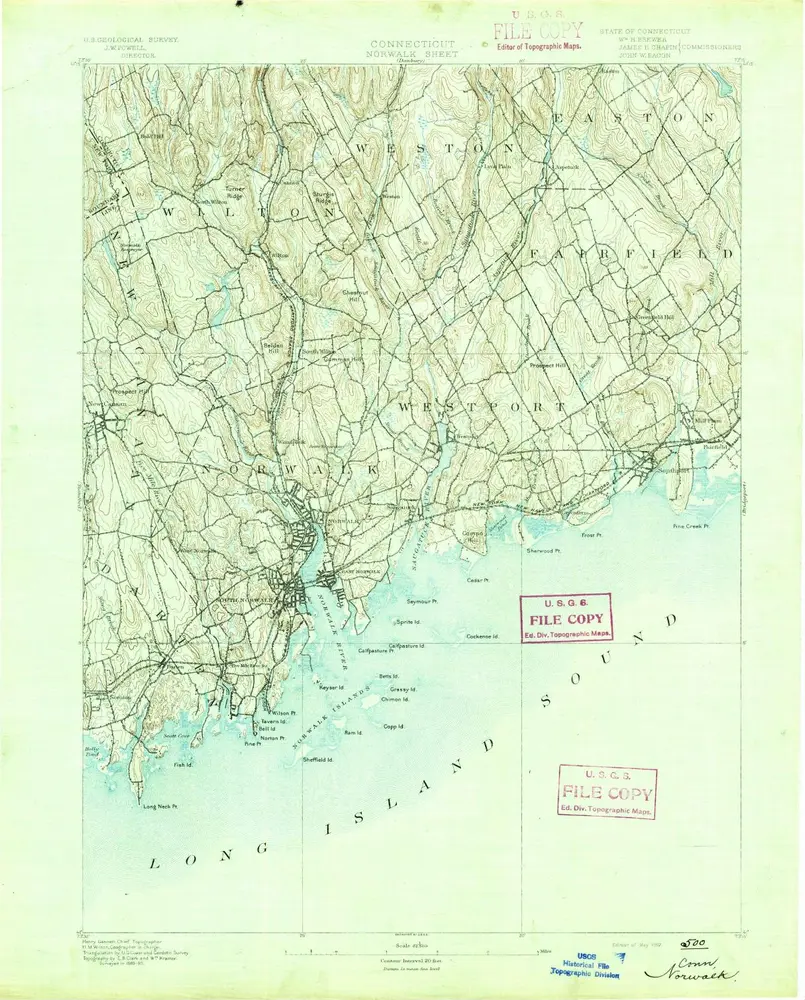
Norwalk
1893
1:63k
Norwalk
1893
1:63k
Norwalk
1893
1:63k
Norwalk
1893
1:63k
Norwalk
1893
1:63k
Norwalk
1893
1:63k
Norwalk
1893
1:63k
Norwalk
1893
1:63k
Norwalk
1893
1:63k
Norwalk
1892
1:63k