Progetto
Comunità
Notizie
La mia app
Le mie mappe
Katalogisierte Karte
Walterboro
Visualizza sul sito web esterno
Visualizza digitalizzato
Einrichtung:
United States Geological Survey
Vollständiger Titel:
Walterboro
Jahr der Abbildung:
1986
Veröffentlichungsdatum:
1986
Maßstab der Karte:
1:100 000
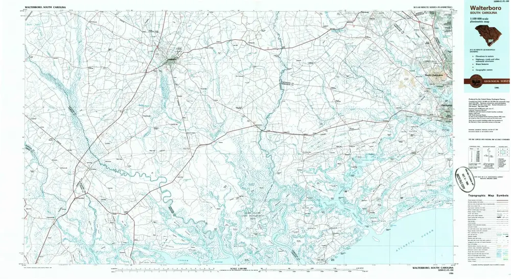
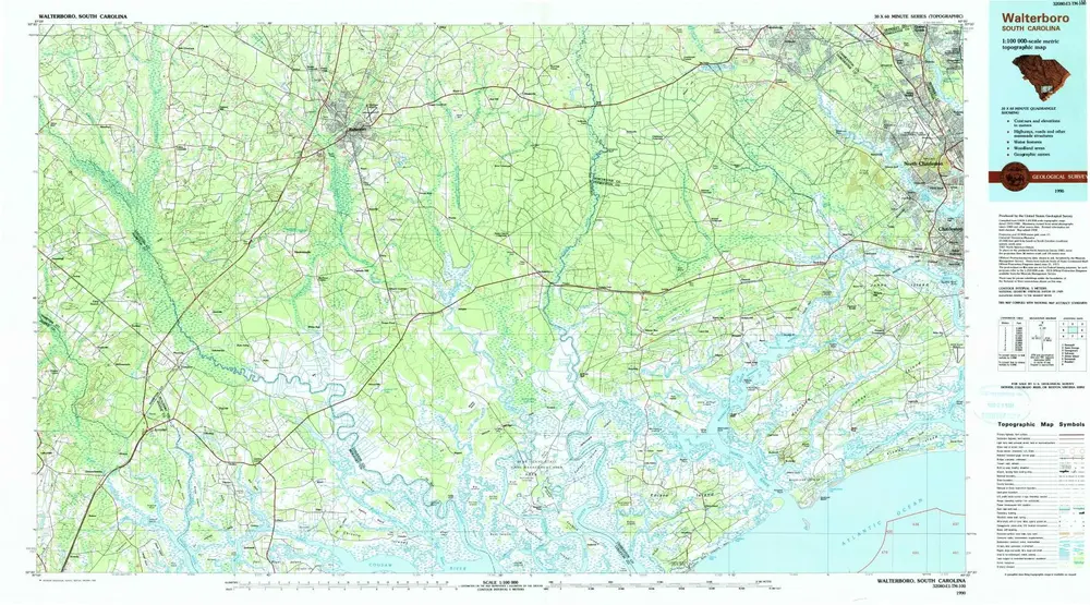
Walterboro
1990
1:100k
Walterboro
1986
1:100k
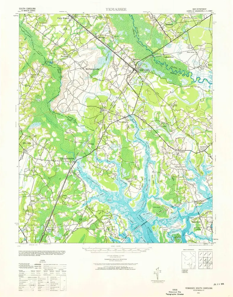
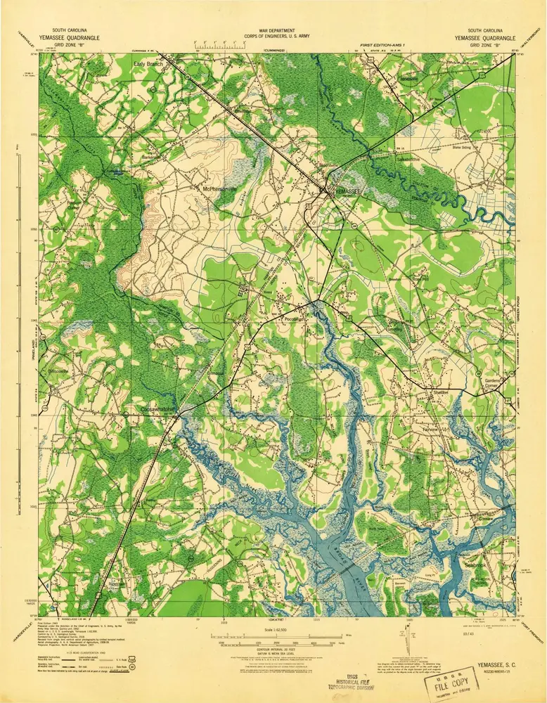
Yemassee
1943
1:63k
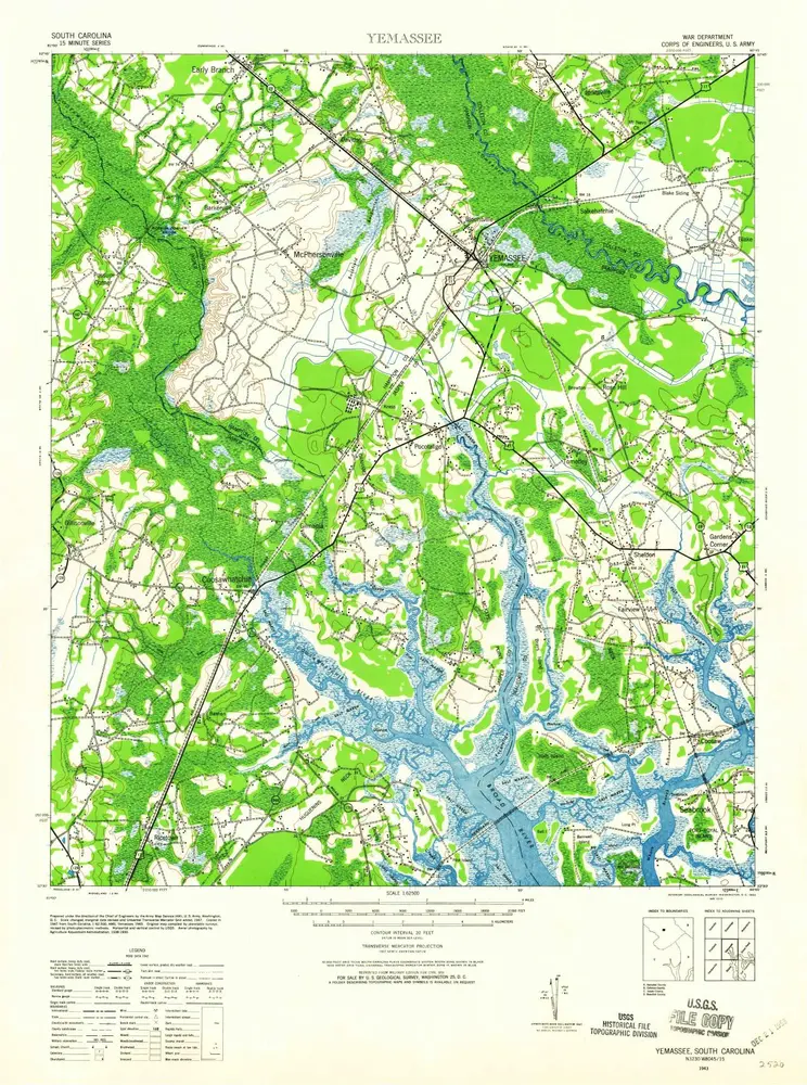
Yemassee
1943
1:63k
Yemassee
1943
1:63k
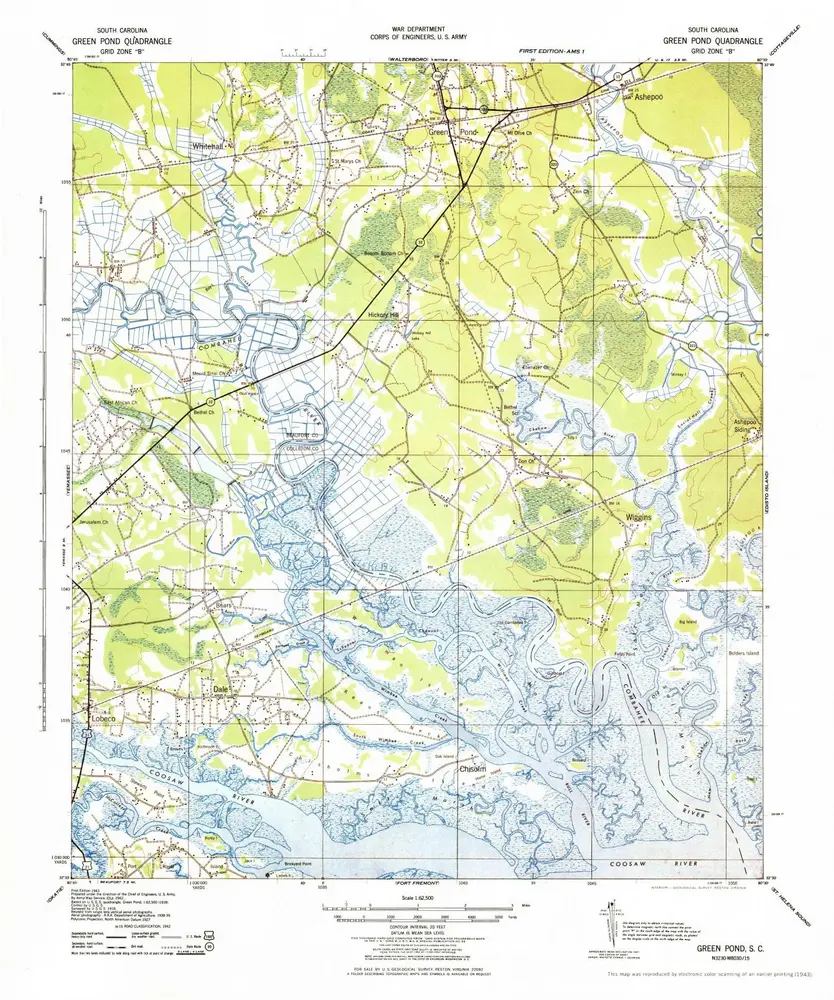
Green Pond
1943
1:63k
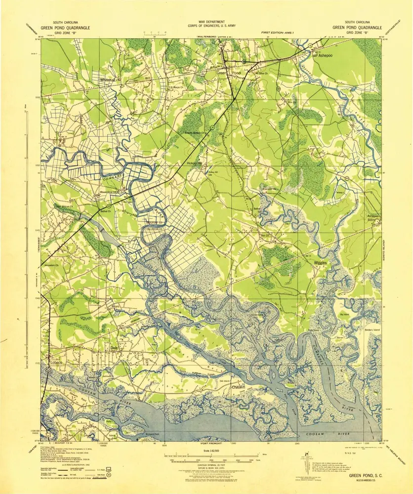
Green Pond
1943
1:63k
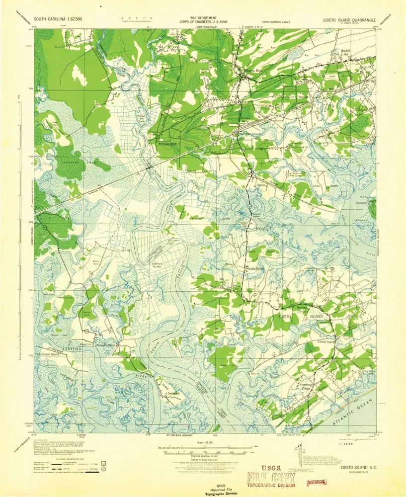
Edisto Island
1943
1:63k
Edisto Island
1919
1:63k
Edisto Island
1919
1:63k
Yemassee
1918
1:63k
Yemassee
1918
1:63k
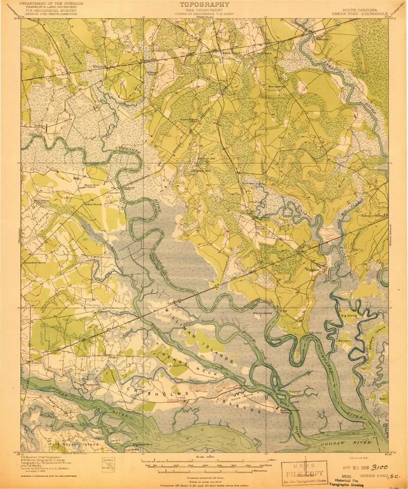
Green Pond
1918
1:63k
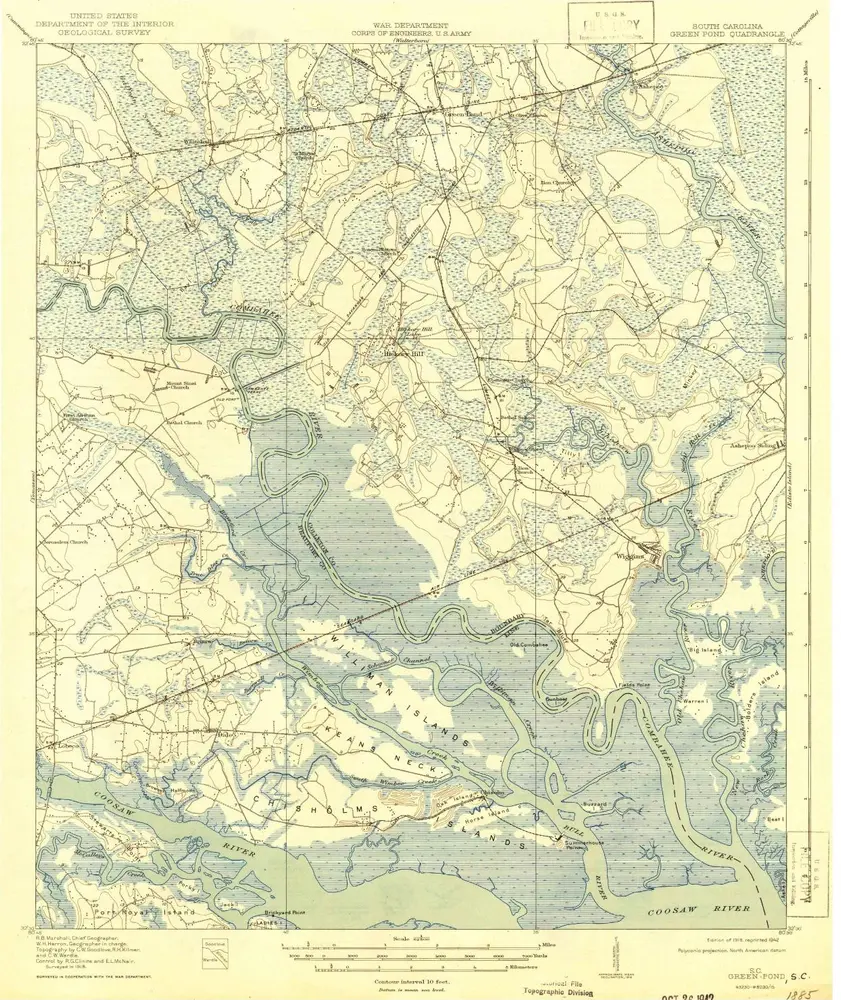
Green Pond
1918
1:63k
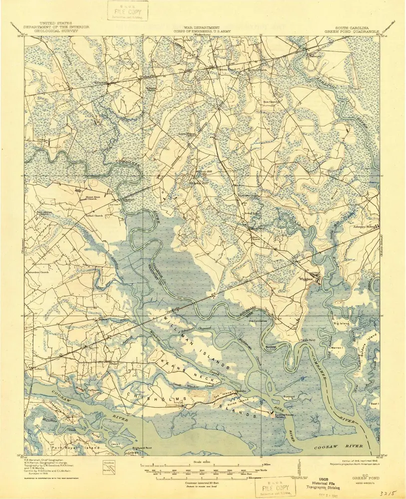
Green Pond
1918
1:63k
Geschichte