Skatalogowana mapa
Carte du gouuernement d'Algoire


Instytucja:University Library of Bern
Pełny tytuł:Carte du gouuernement d'Algoire
Rok ilustracji:1665 - 1680
Wydawca:s.n.
Carte du gouuernement d'Algoire
1680
s.n.
Carte du gouuernement de Lerida
1680
s.n.
Carte du gouuernement de Balaguier
1680
s.n.
Plan de la ville et chasteau de Lerida en Catalogne
1680
s.n.
Plan of the country and camps of Almanar, the one under Charles III and the other of the Enemy under the D. of Anjou (July 27, 1710) / for Mr. Tindal's continuation of Mr. Rapin's History of England ; I. Basire sculp.
1740
Tindal ; Rapin ; Basire, J.
Episcopatus Balbastrensis et comitatus Ribagorcæ
1690
Valck; Schenk
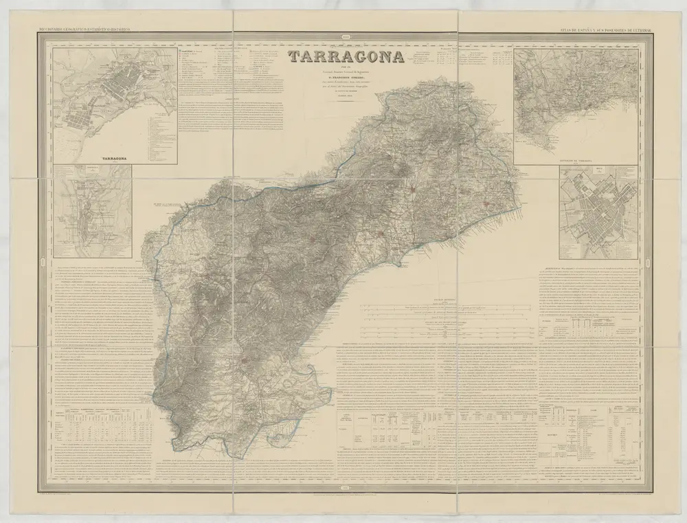
Tarragona
1858
Coello, Francisco
1:200k
Carte du gouuernement d'Ager en Catalogne
1680
s.n.
Plan du chasteau de Lerida
1680
s.n.
n/a
1791