Progetto
Comunità
Notizie
La mia app
Le mie mappe
Mapa catalogado
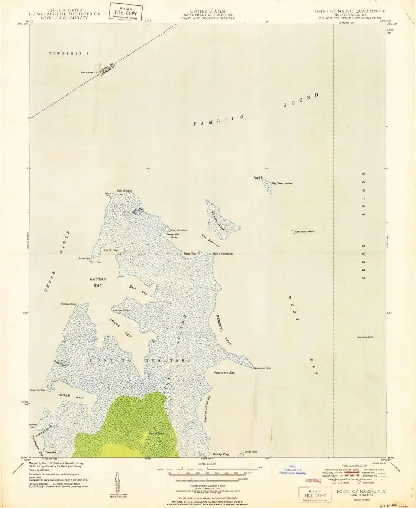
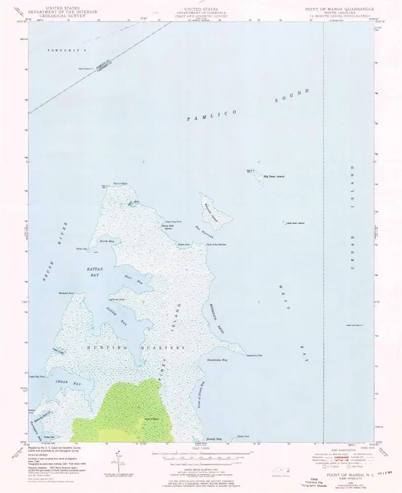
Point Of Marsh
Visualizza sul sito web esterno
View digitized
Institución:
United States Geological Survey
Título completo:
Point Of Marsh
Año de ilustración:
1950
Escala del mapa:
1:24 000
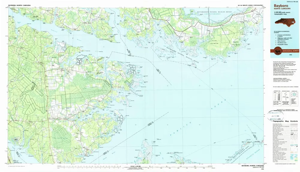
Bayboro
1985
1:100k
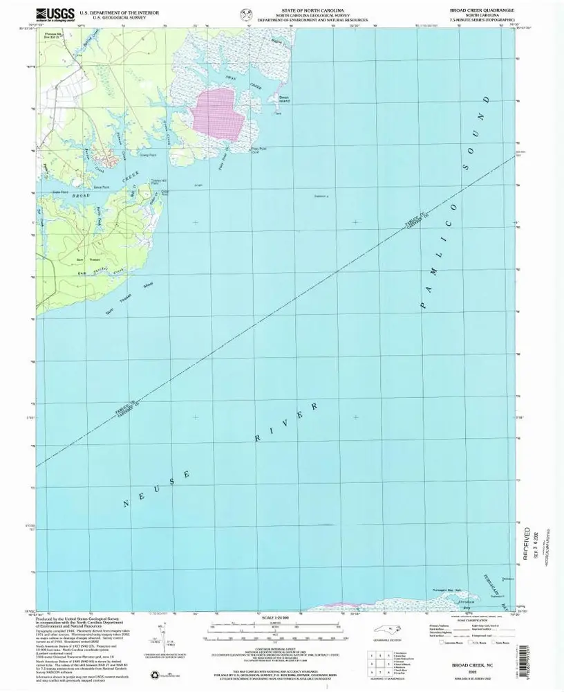
Broad Creek
2002
1:24k
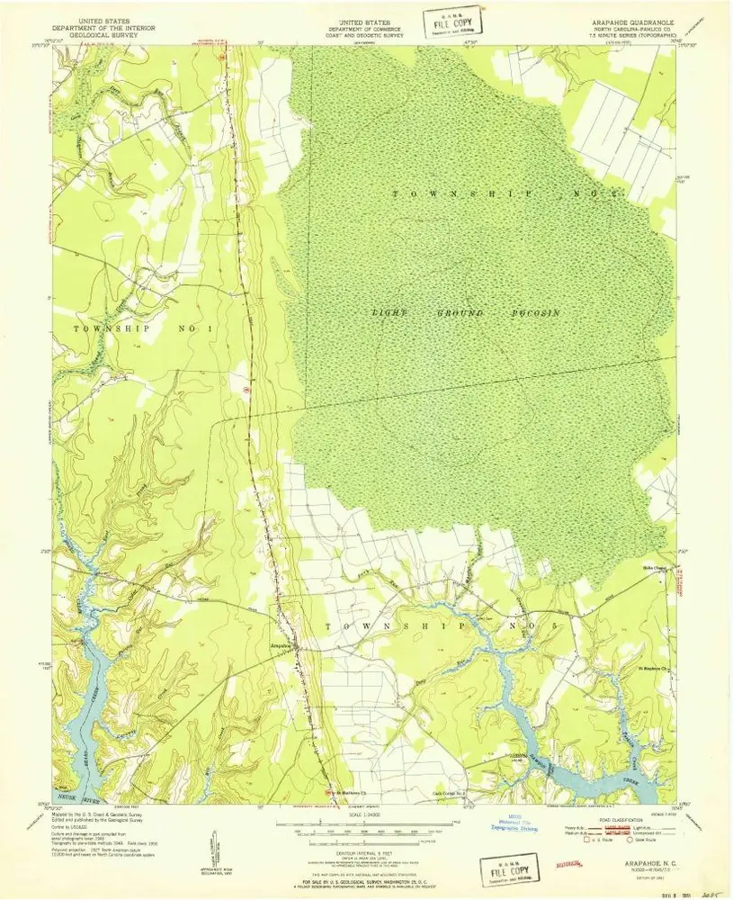
Arapahoe
1951
1:24k
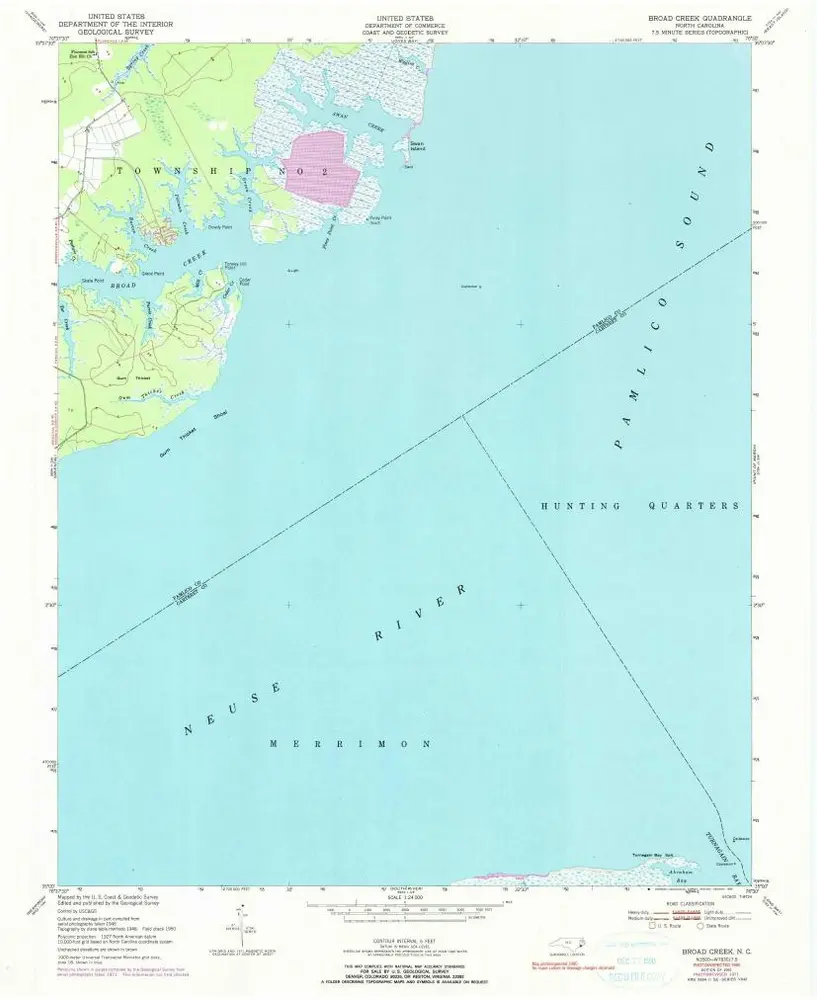
Broad Creek
1951
1:24k
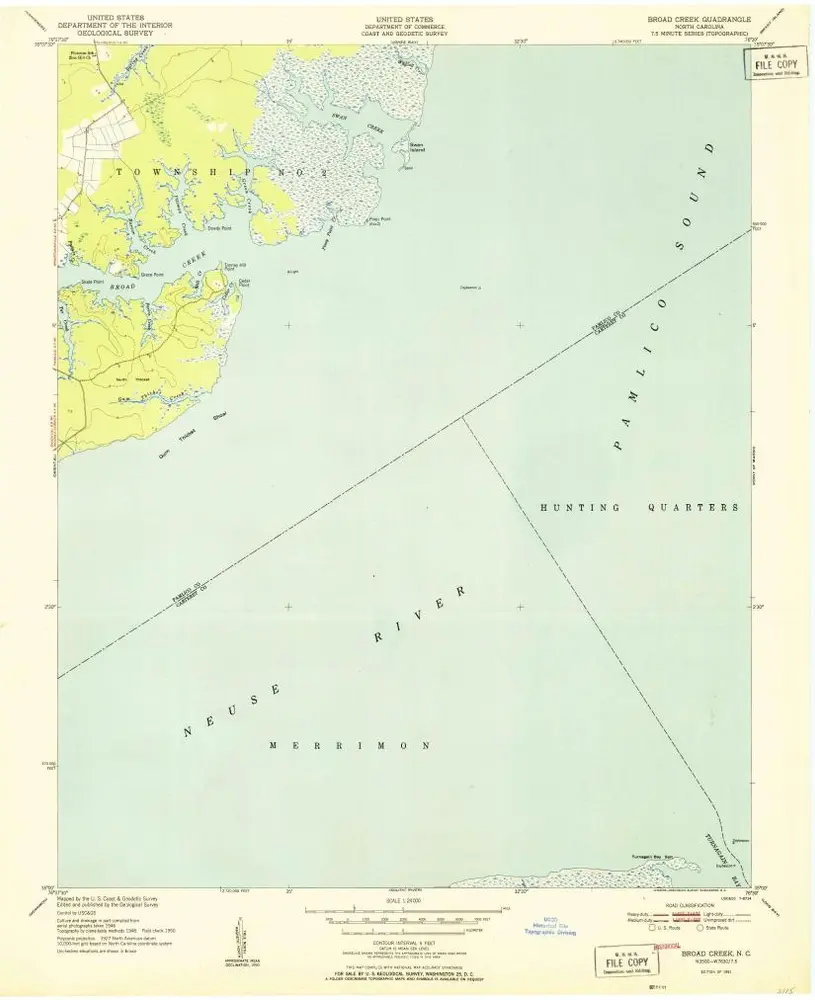
Broad Creek
1951
1:24k
Broad Creek
1951
1:24k
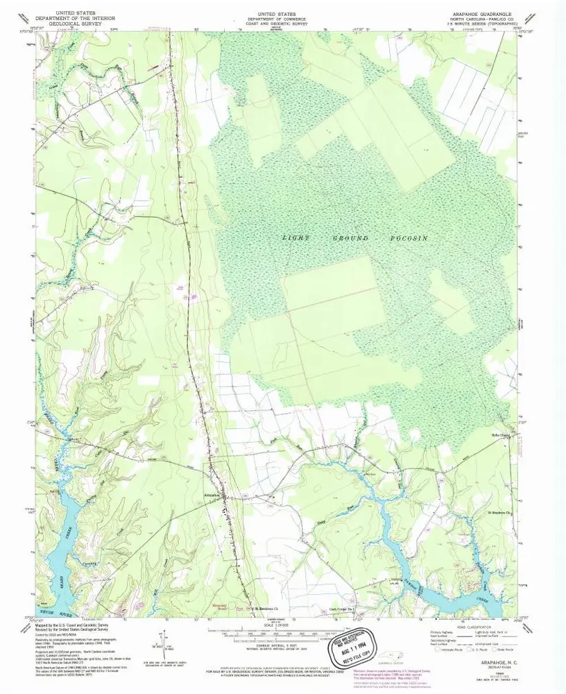
Arapahoe
1950
1:24k
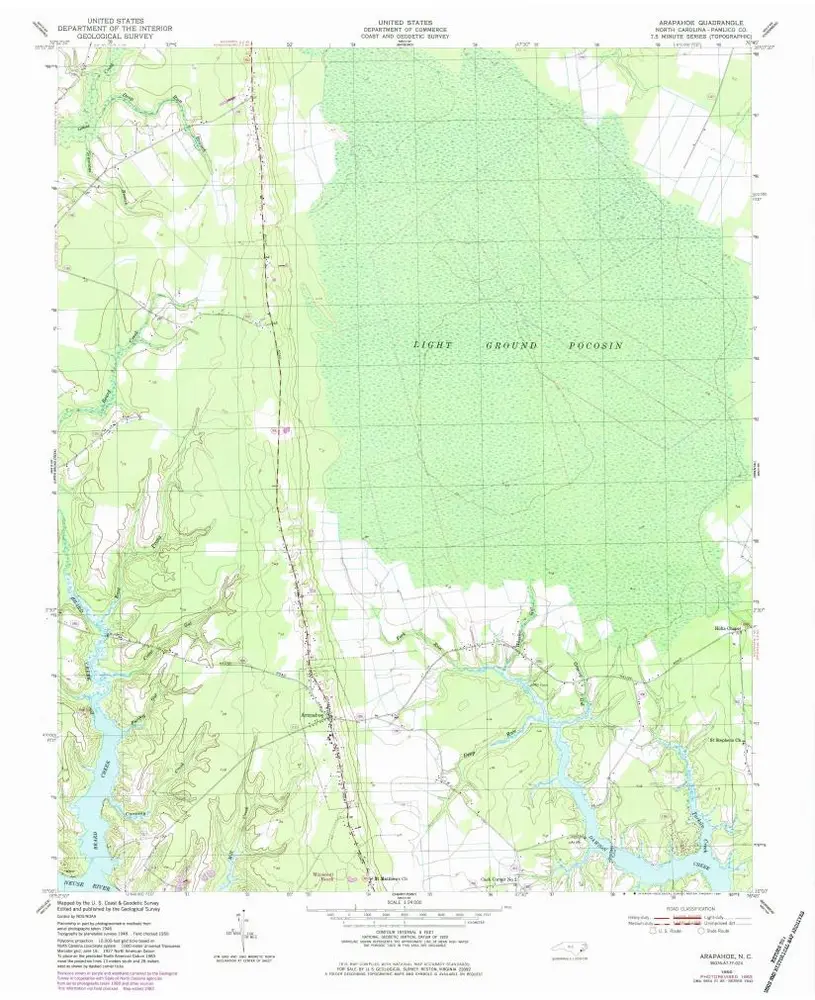
Arapahoe
1950
1:24k
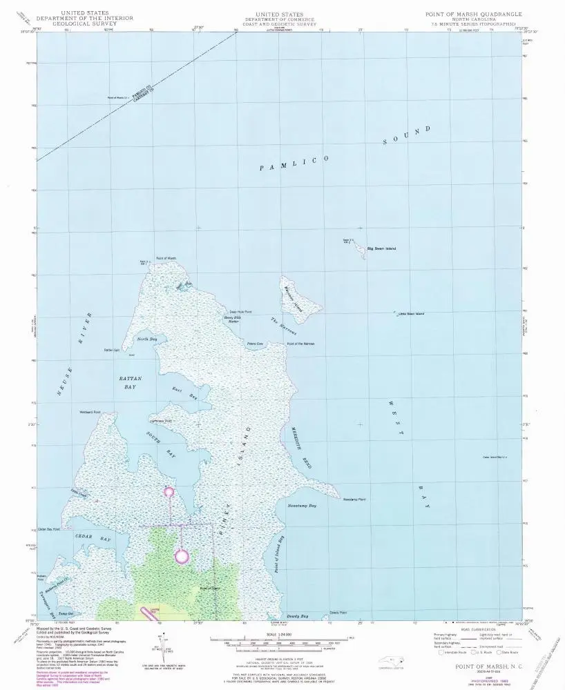
Point Of Marsh
1950
1:24k
Point Of Marsh
1949
1:24k
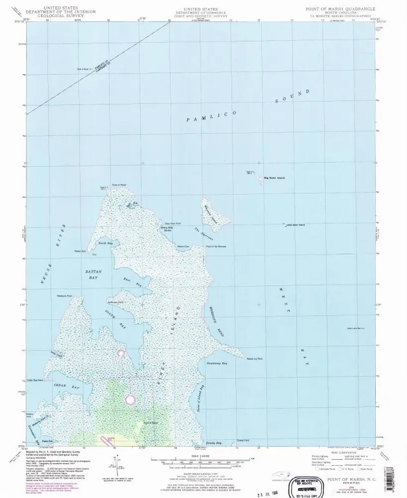
Point Of Marsh
1949
1:24k
Point Of Marsh
1949
1:24k
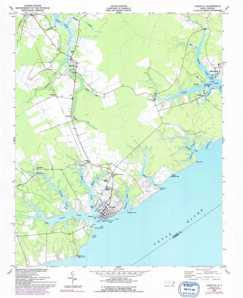
Oriental
1948
1:24k
Historia