Progetto
Comunità
Notizie
La mia app
Le mie mappe
Cataloged map
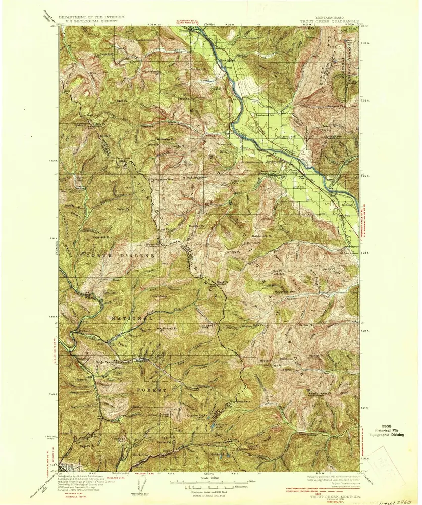
Trout Creek
Visualizza sul sito web esterno
Visualizza digitalizzato
Institution:
United States Geological Survey
Full title:
Trout Creek
Depicted:
1936
Map scale:
1:125 000
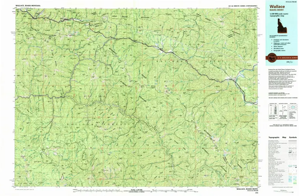
Wallace
1994
1:100k
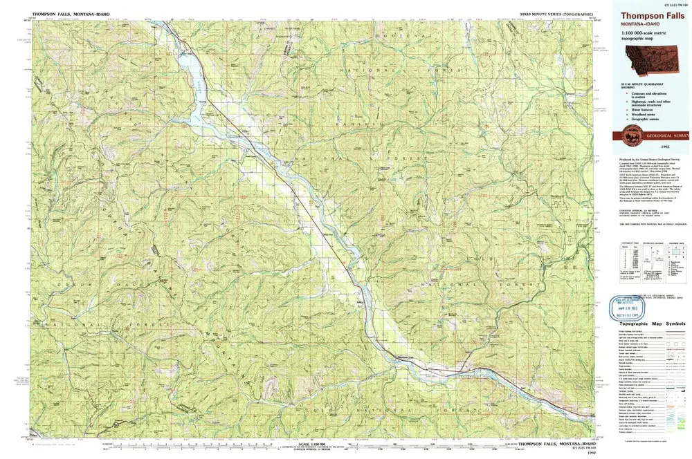
Thompson Falls
1992
1:100k
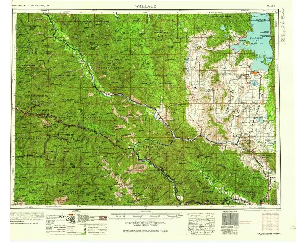
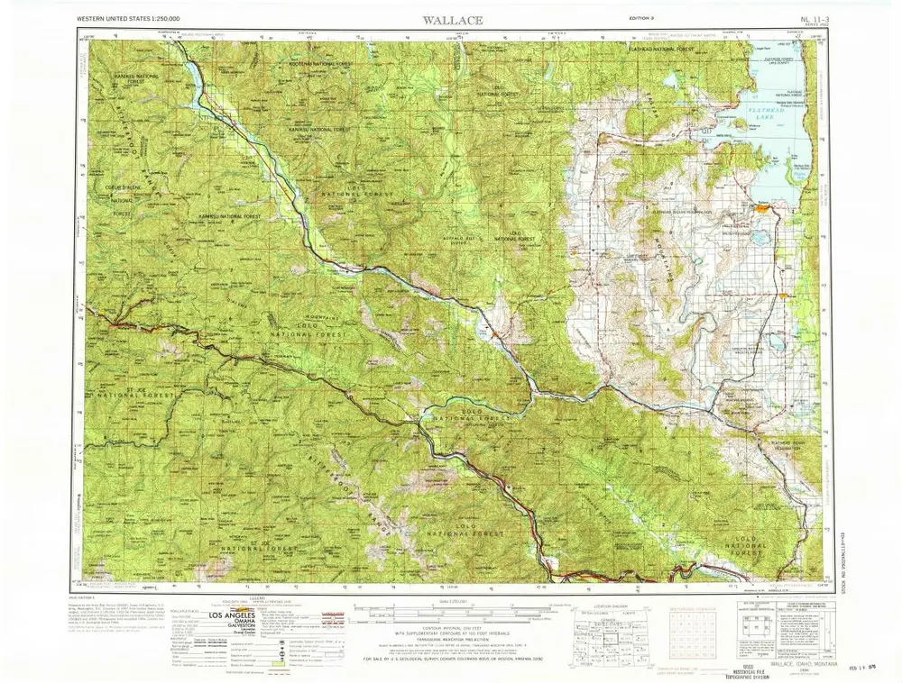
Wallace
1960
1:250k
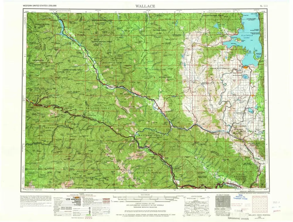
Wallace
1956
1:250k
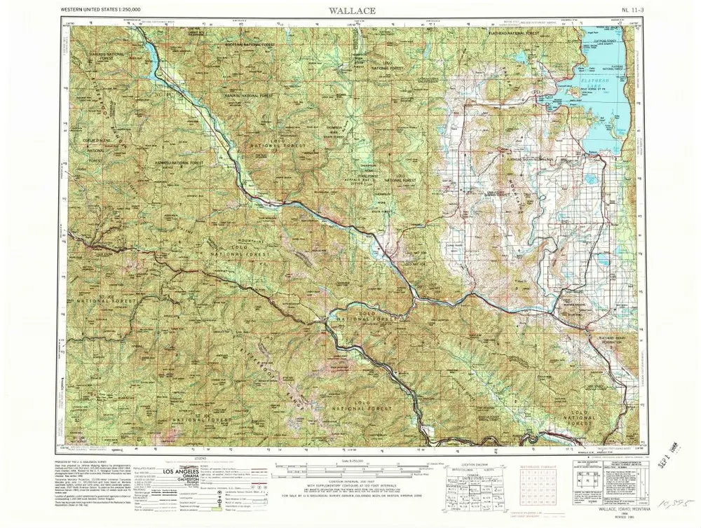
Wallace
1956
1:250k
Wallace
1956
1:250k
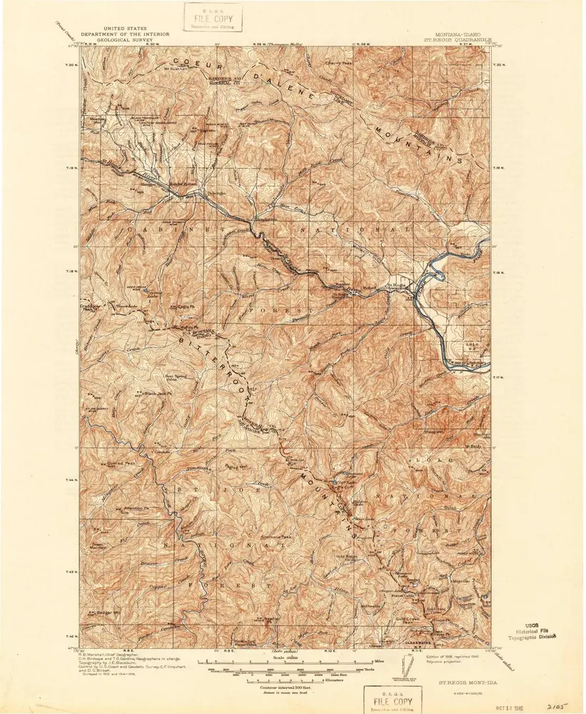
St Regis
1918
1:125k
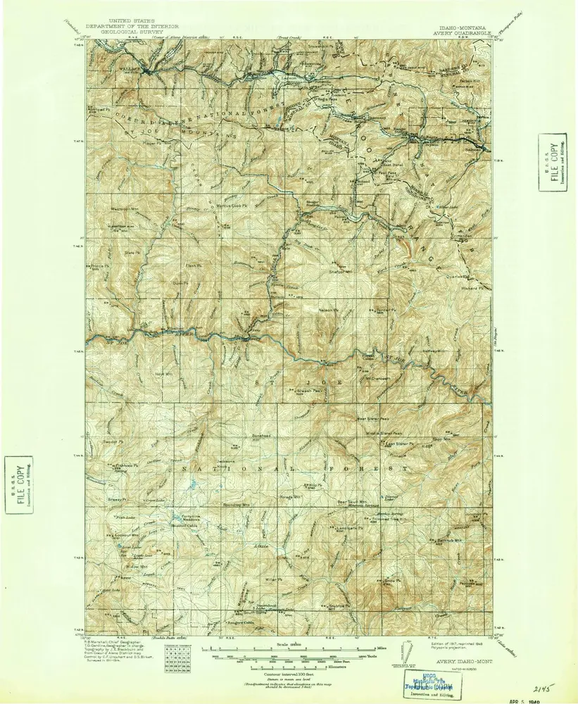
Avery
1917
1:125k
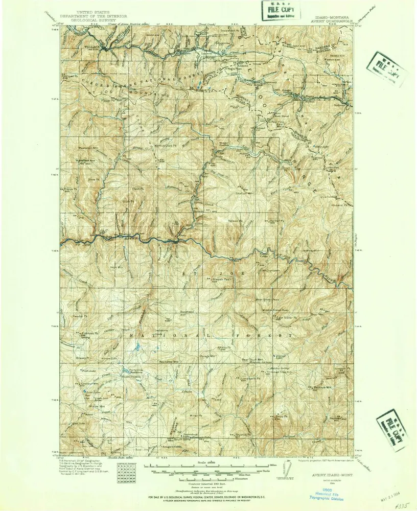
Avery
1914
1:125k
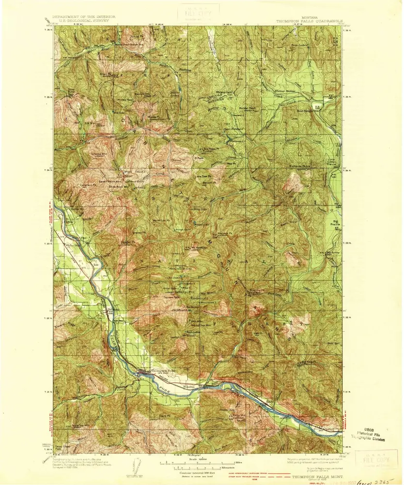
Thompson Falls
1937
1:125k
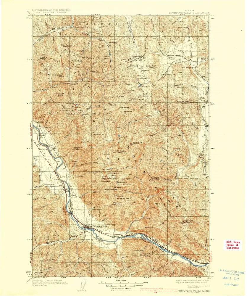
Thompson Falls
1937
1:125k
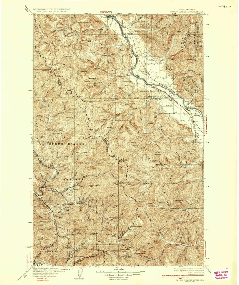
Trout Creek
1936
1:125k
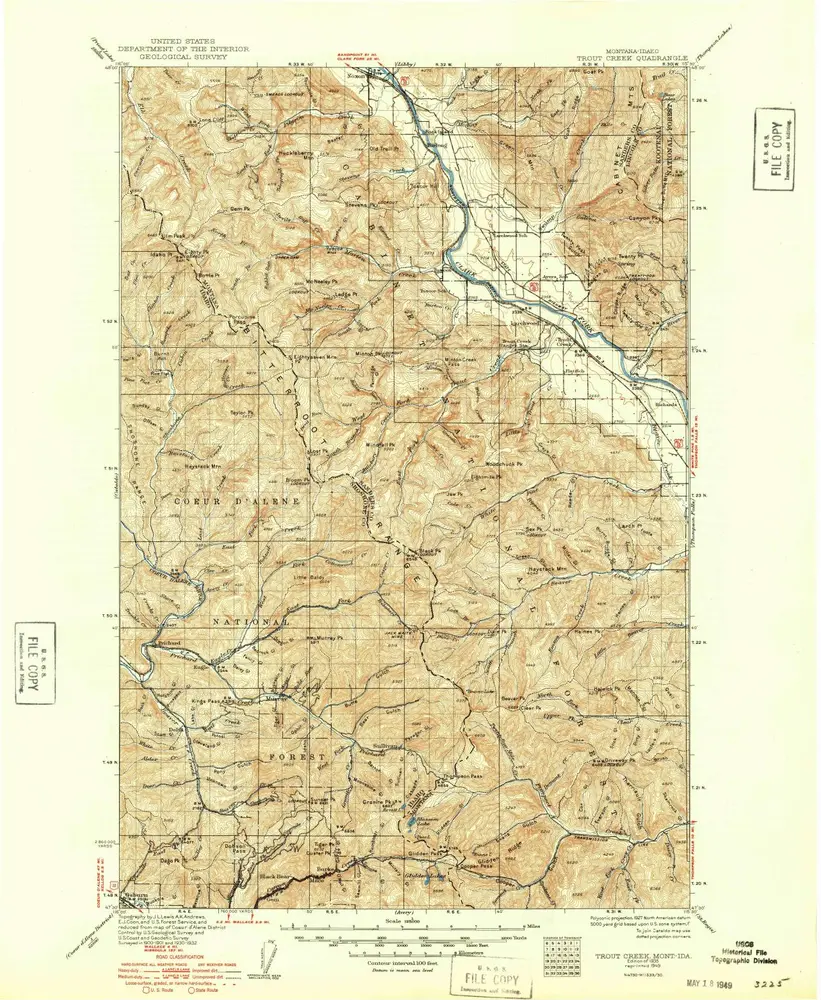
Trout Creek
1936
1:125k
Trout Creek
1935
1:125k
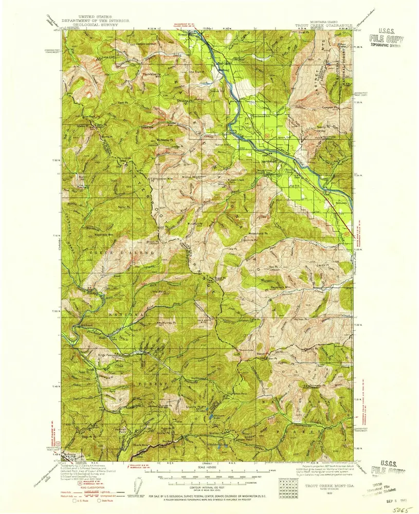
Trout Creek
1932
1:125k
History