Cataloged map
Beeville

Institution:United States Geological Survey
Full title:Beeville
Depicted:1956
Pubdate:1980
Map scale:1:250 000
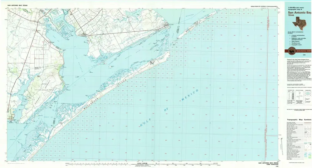
San Antonio Bay
1983
1:100k
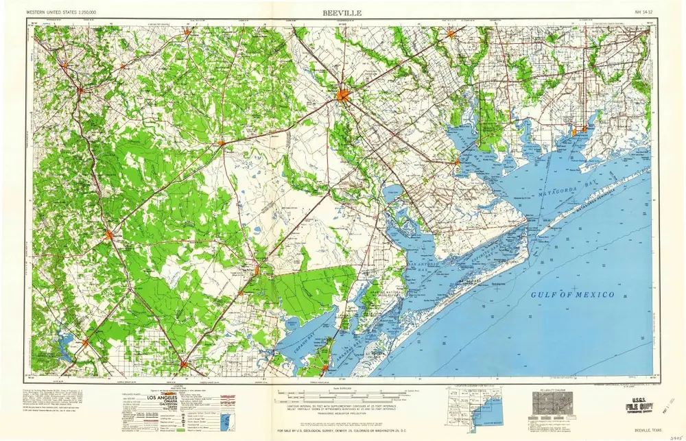
Beeville
1960
1:250k
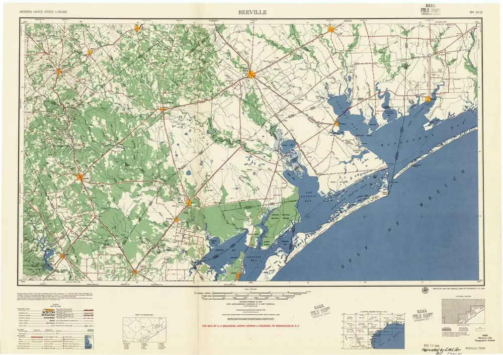
Beeville
1956
1:250k

Beeville
1956
1:250k
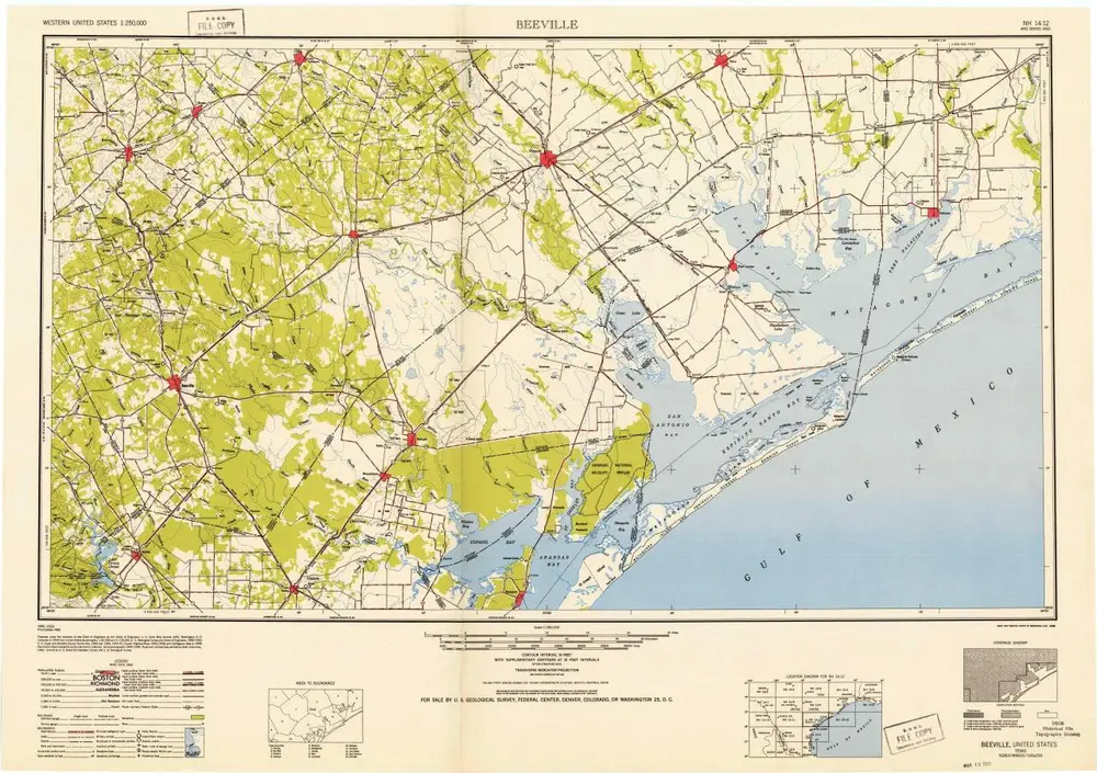
Beeville
1953
1:250k
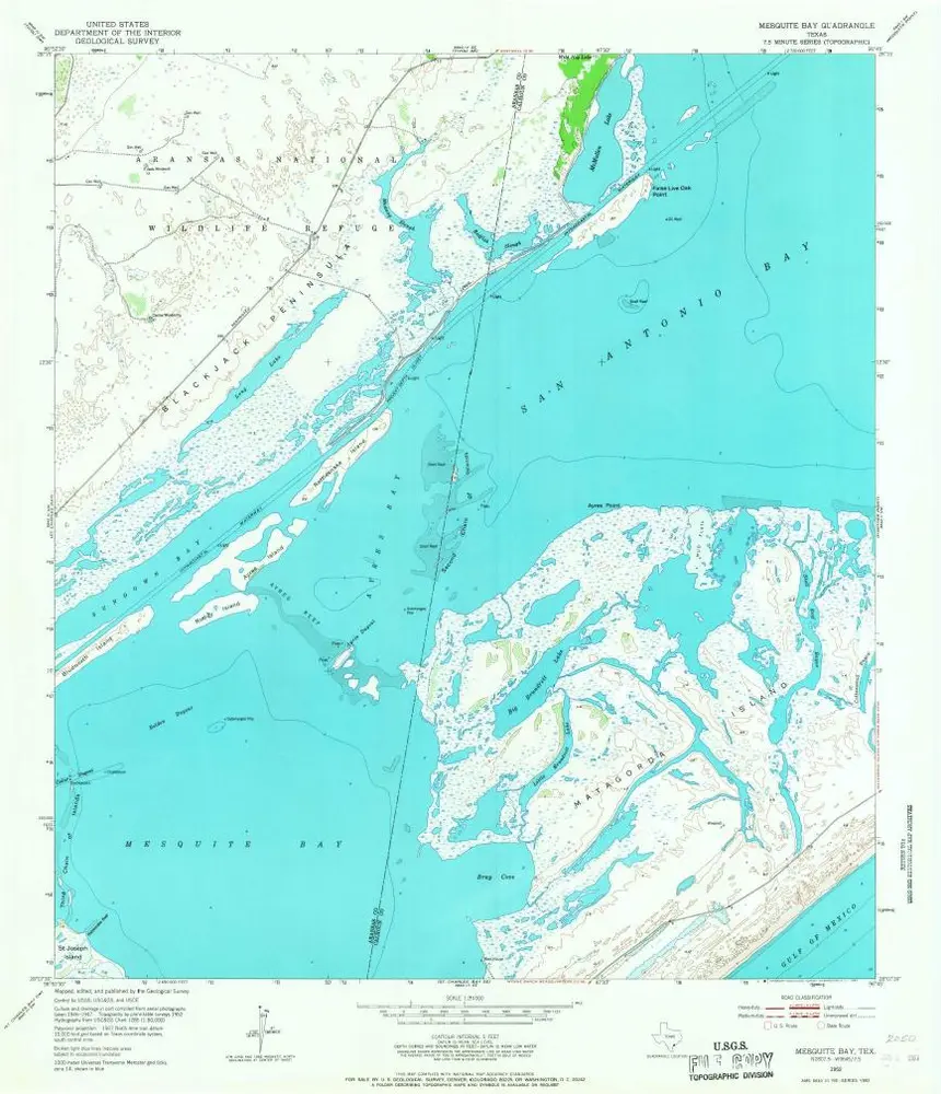
Mesquite Bay
1952
1:24k
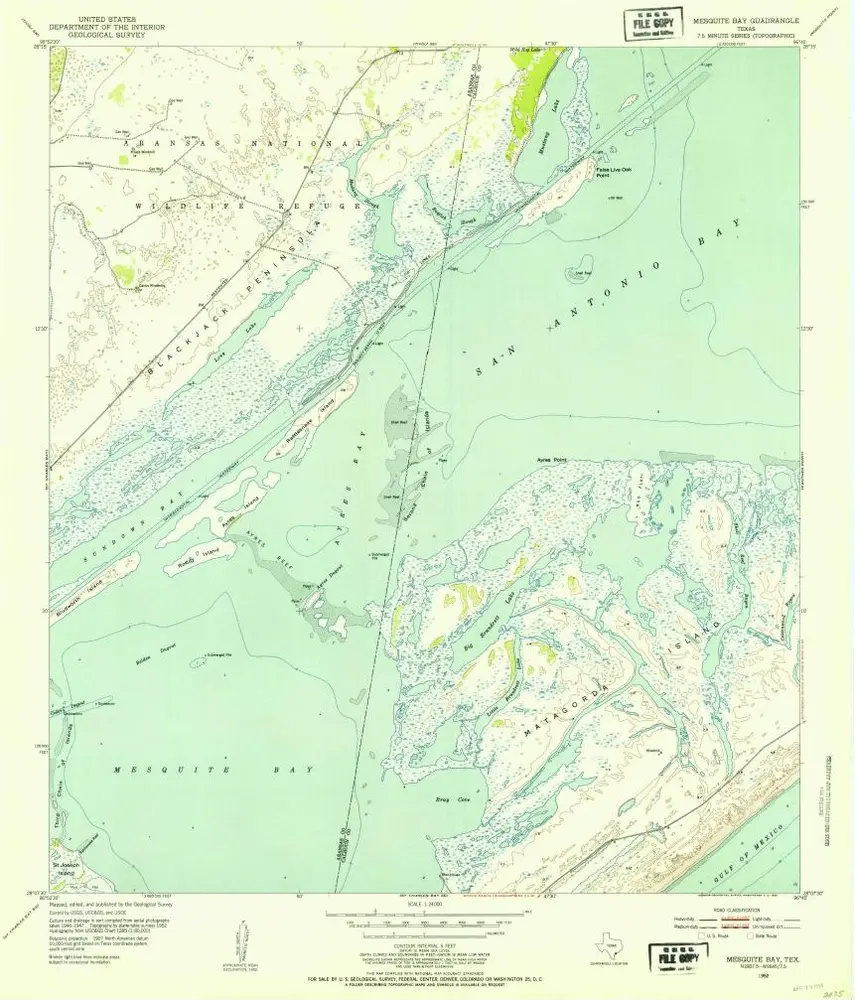
Mesquite Bay
1952
1:24k
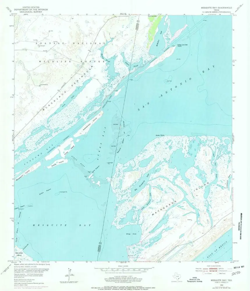
Mesquite Bay
1952
1:24k
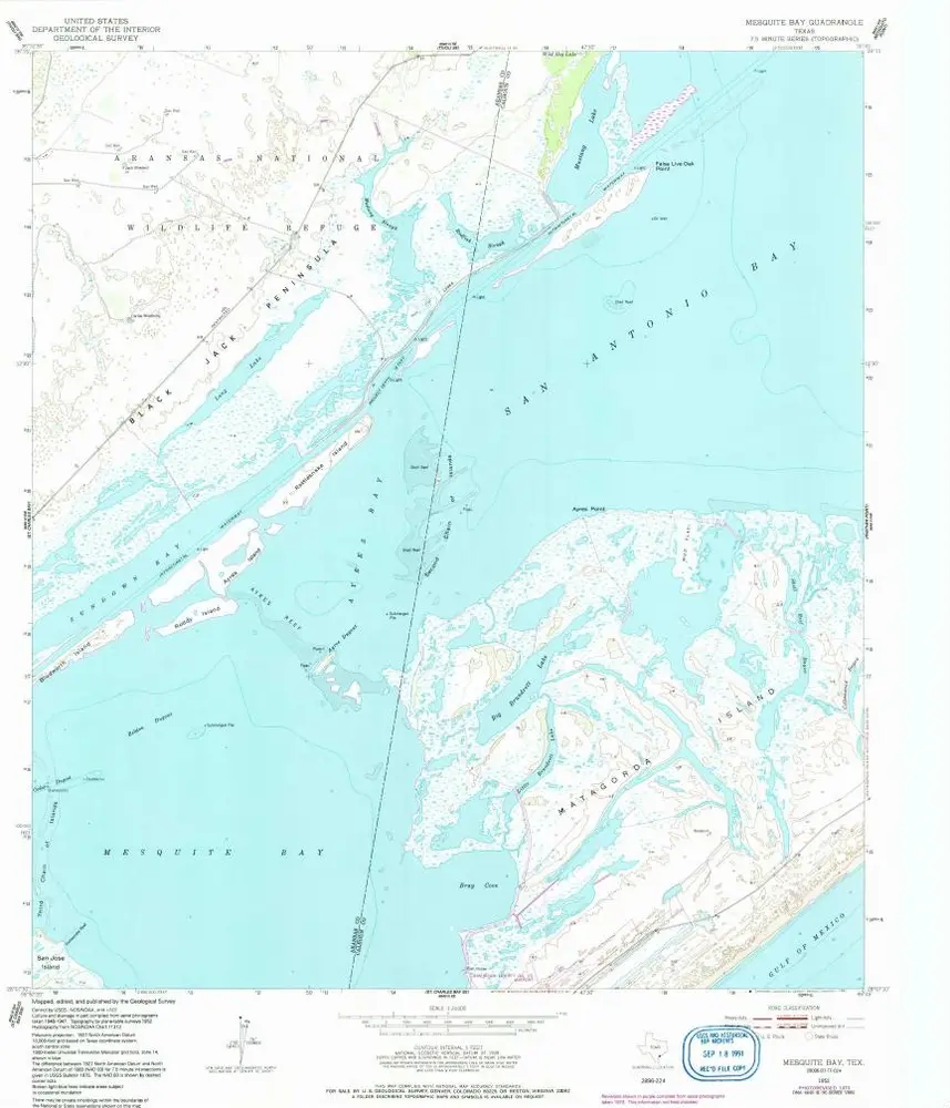
Mesquite Bay
1952
1:24k
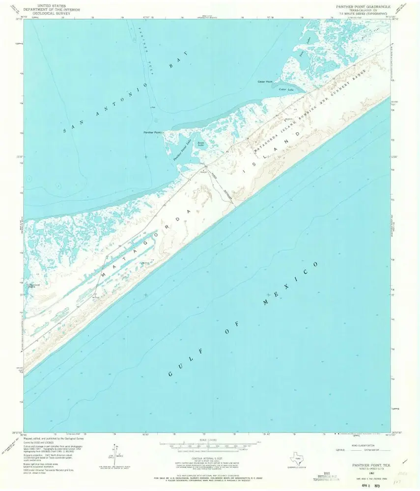
Panther Point
1952
1:24k
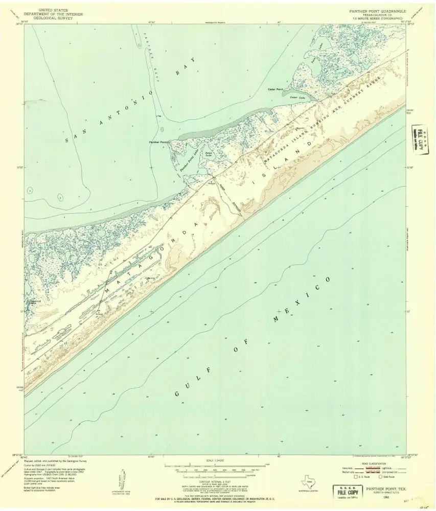
Panther Point
1952
1:24k
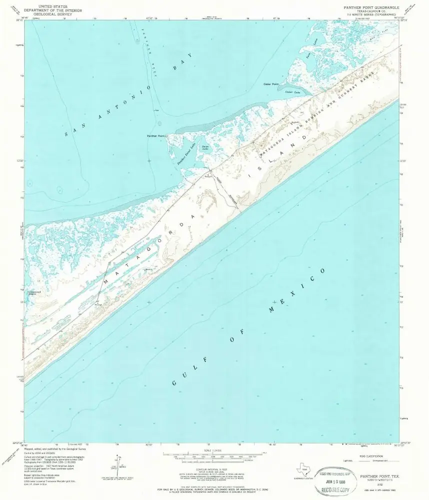
Panther Point
1952
1:24k
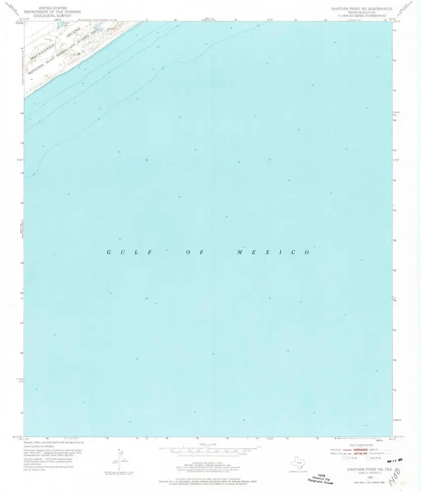
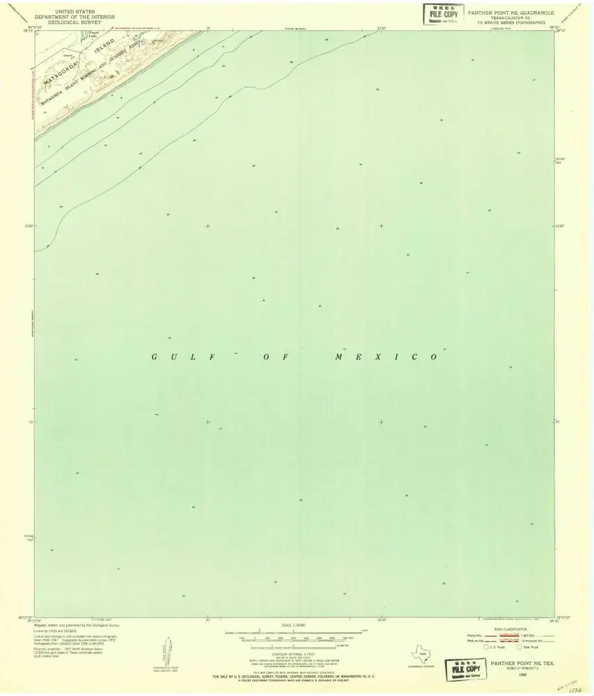
Panther Point NE
1952
1:24k
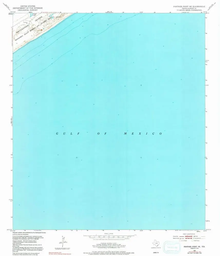
Panther Point NE
1952
1:24k
Panther Point NE
1952
1:24k