Progetto
Comunità
Notizie
La mia app
Le mie mappe
Skatalogowana mapa
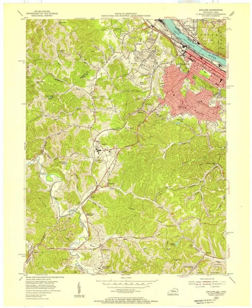
Ashland
Visualizza sul sito web esterno
View digitized
Instytucja:
United States Geological Survey
Pełny tytuł:
Ashland
Rok ilustracji:
1958
Data publikacji:
1959
Skala mapy:
1:24 000
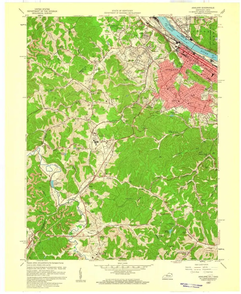
Ashland
1968
1:24k
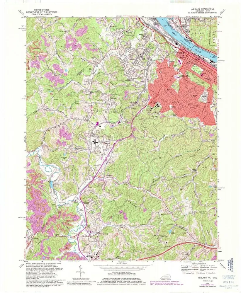
Ashland
1968
1:24k
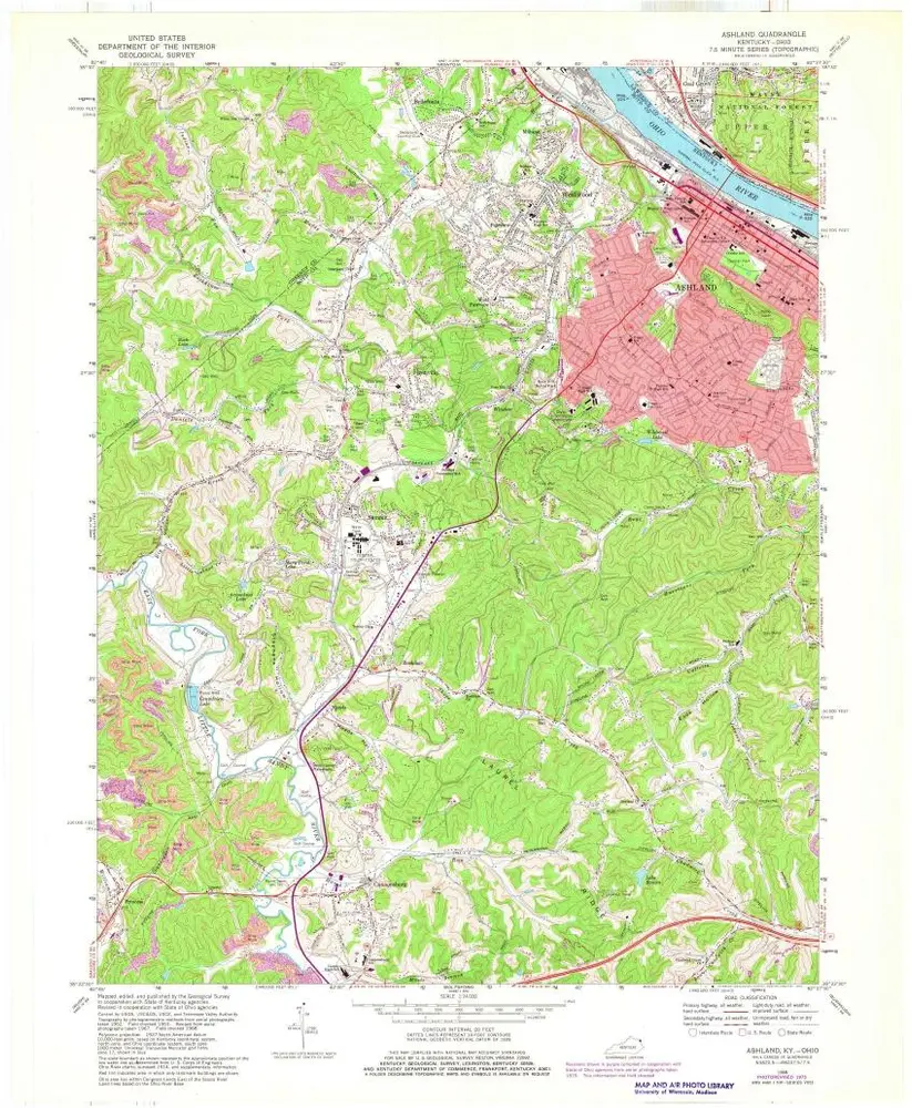
Ashland
1968
1:24k
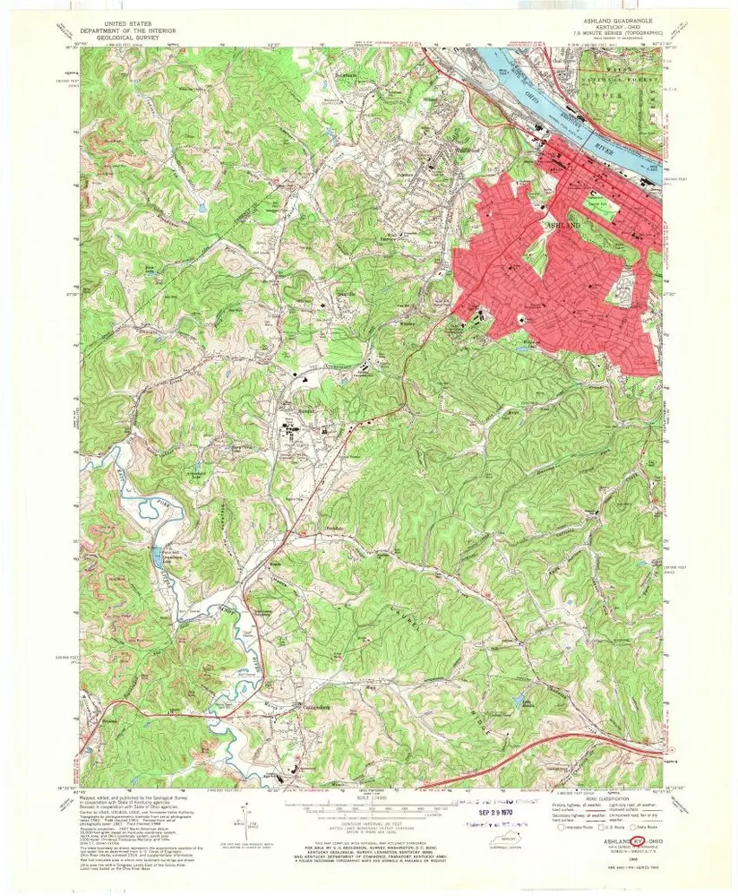
Ashland
1958
1:24k
Ashland
1953
1:24k
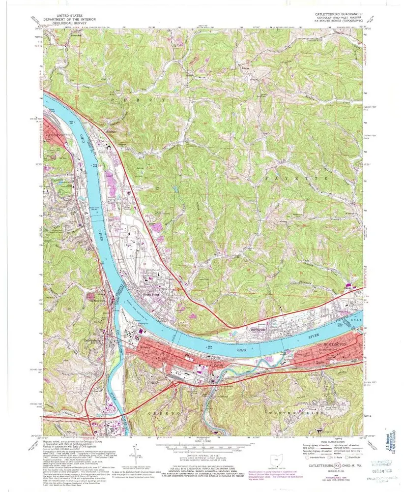
Catlettsburg
1968
1:24k
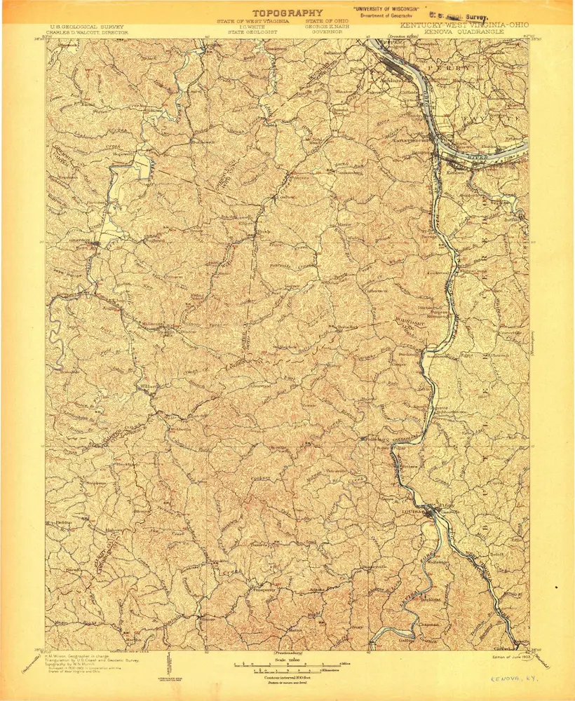
Kenova
1904
1:125k
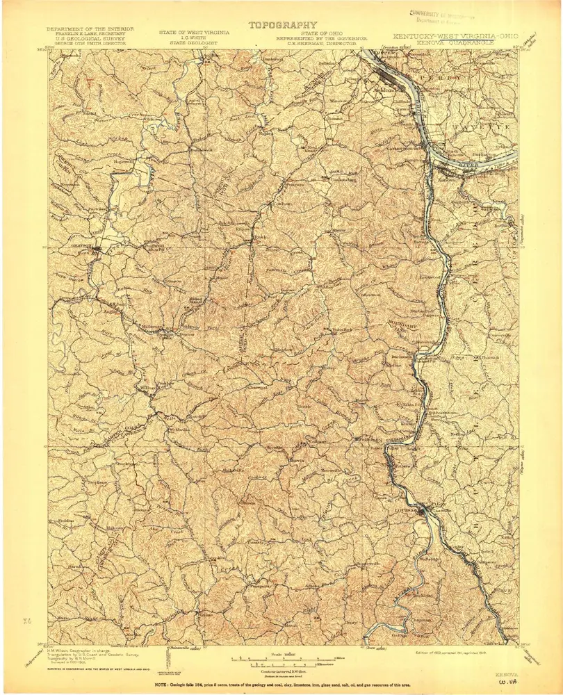
Kenova
1903
1:125k
Kenova
1903
1:125k
Kenova
1903
1:125k
Kenova
1903
1:125k
Kenova
1903
1:125k
Historia