Progetto
Comunità
Notizie
La mia app
Le mie mappe
Katalogisierte Karte
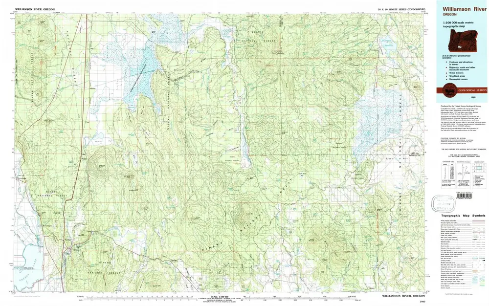
Williamson River
Visualizza sul sito web esterno
Visualizza digitalizzato
Einrichtung:
United States Geological Survey
Vollständiger Titel:
Williamson River
Jahr der Abbildung:
1980
Veröffentlichungsdatum:
1997
Maßstab der Karte:
1:100 000
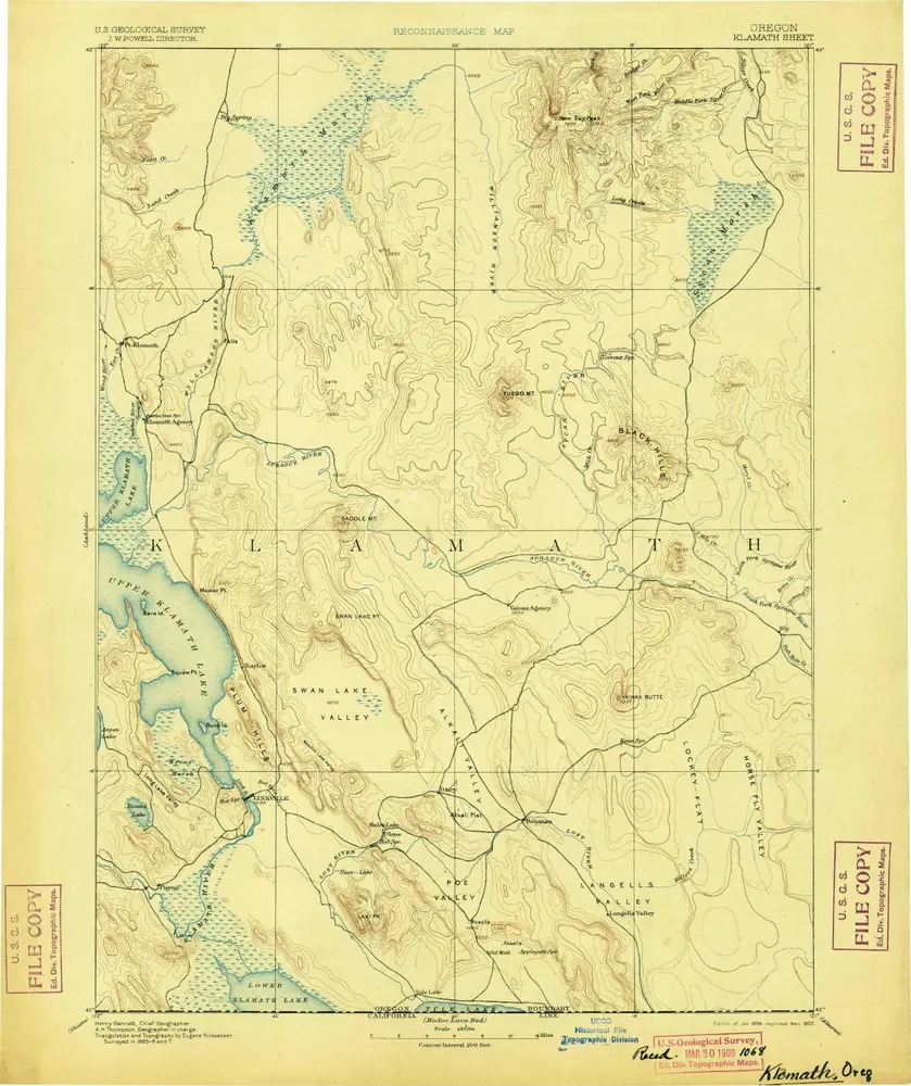
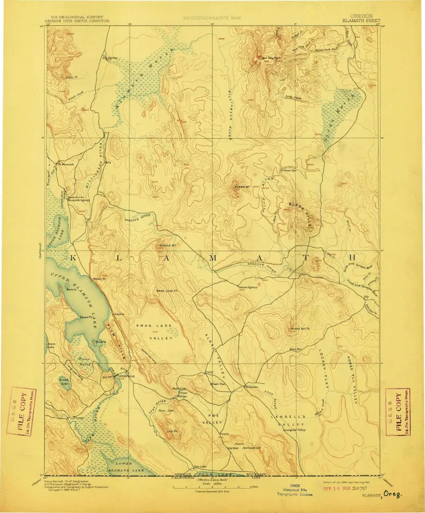
Klamath
1894
1:250k
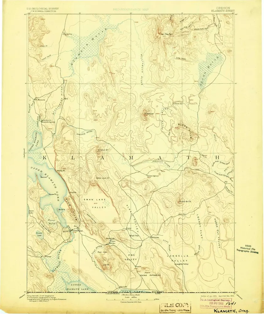
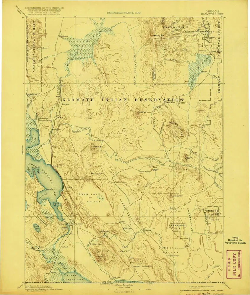
Klamath
1894
1:250k
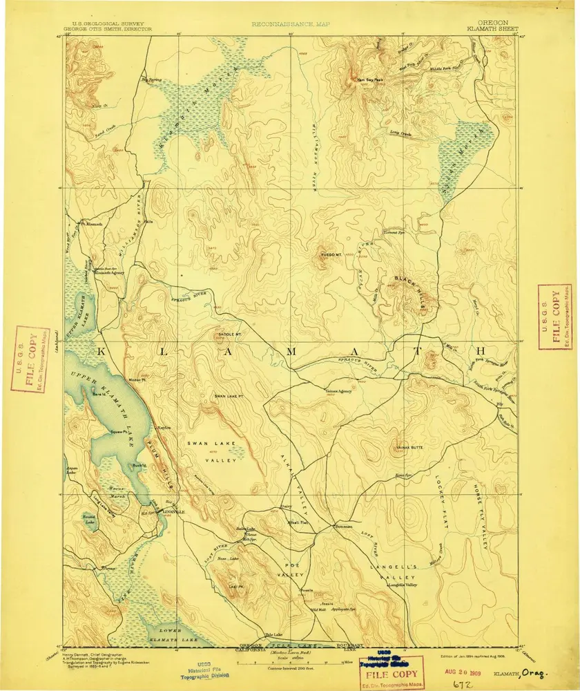
Klamath
1894
1:250k
Klamath
1894
1:250k
Klamath
1894
1:250k
Klamath
1894
1:250k
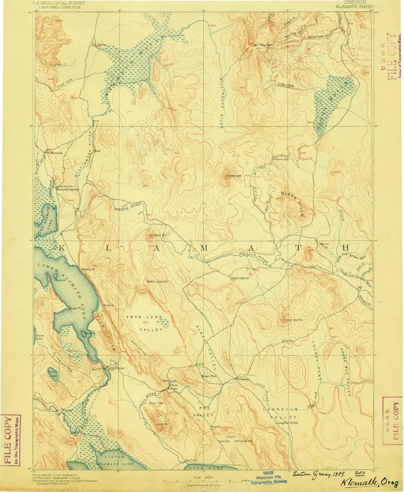
Klamath
1889
1:250k
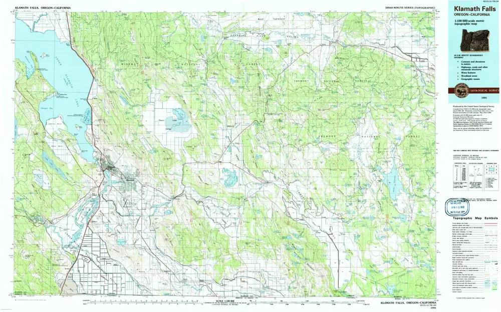
Klamath Falls
1991
1:100k
Williamson River
1980
1:100k
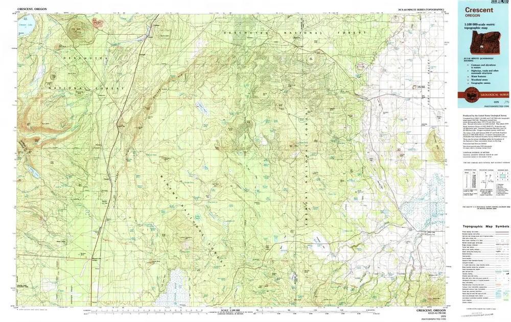
Crescent
1979
1:100k
Geschichte