Katalogisierte Karte
Zoar

Einrichtung:United States Geological Survey
Vollständiger Titel:Zoar
Jahr der Abbildung:1973
Veröffentlichungsdatum:1977
Maßstab der Karte:1:24 000
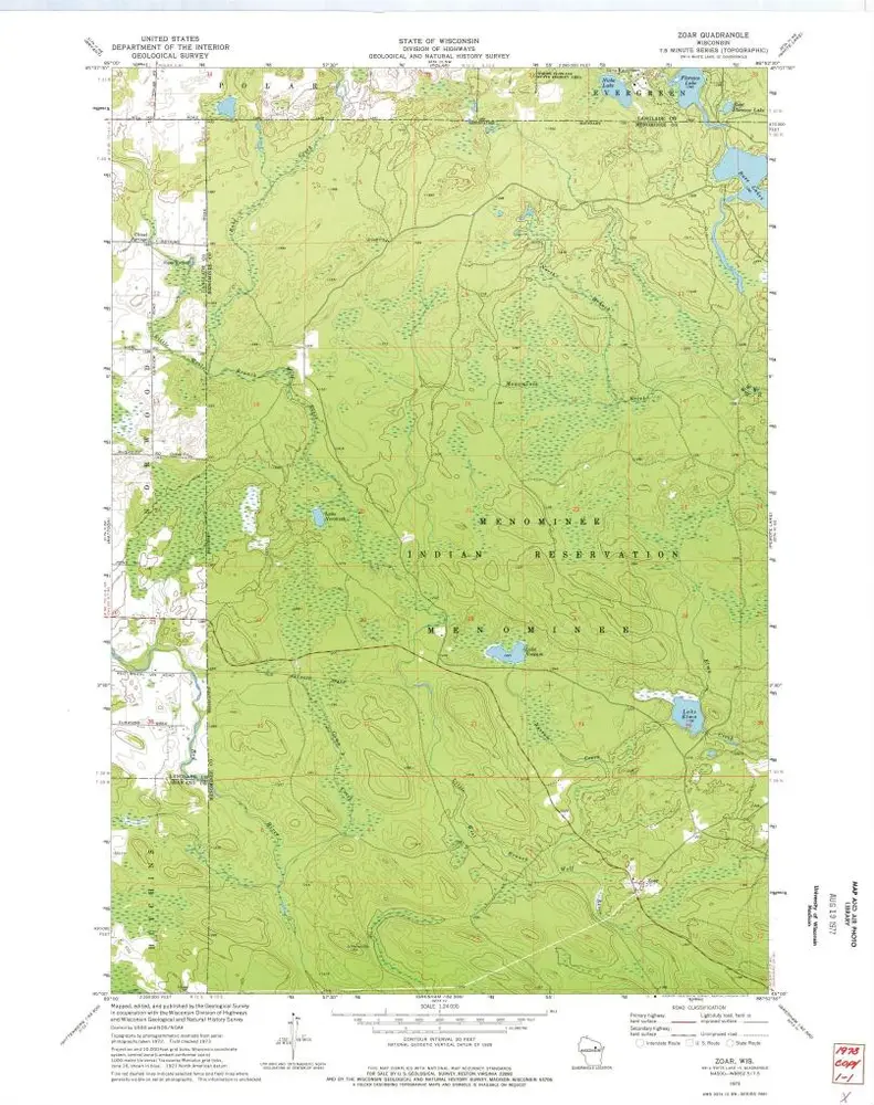
Zoar
1973
1:24k
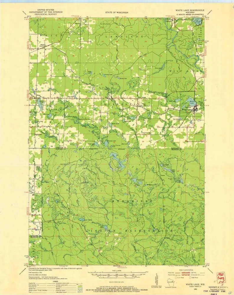
White Lake
1952
1:48k
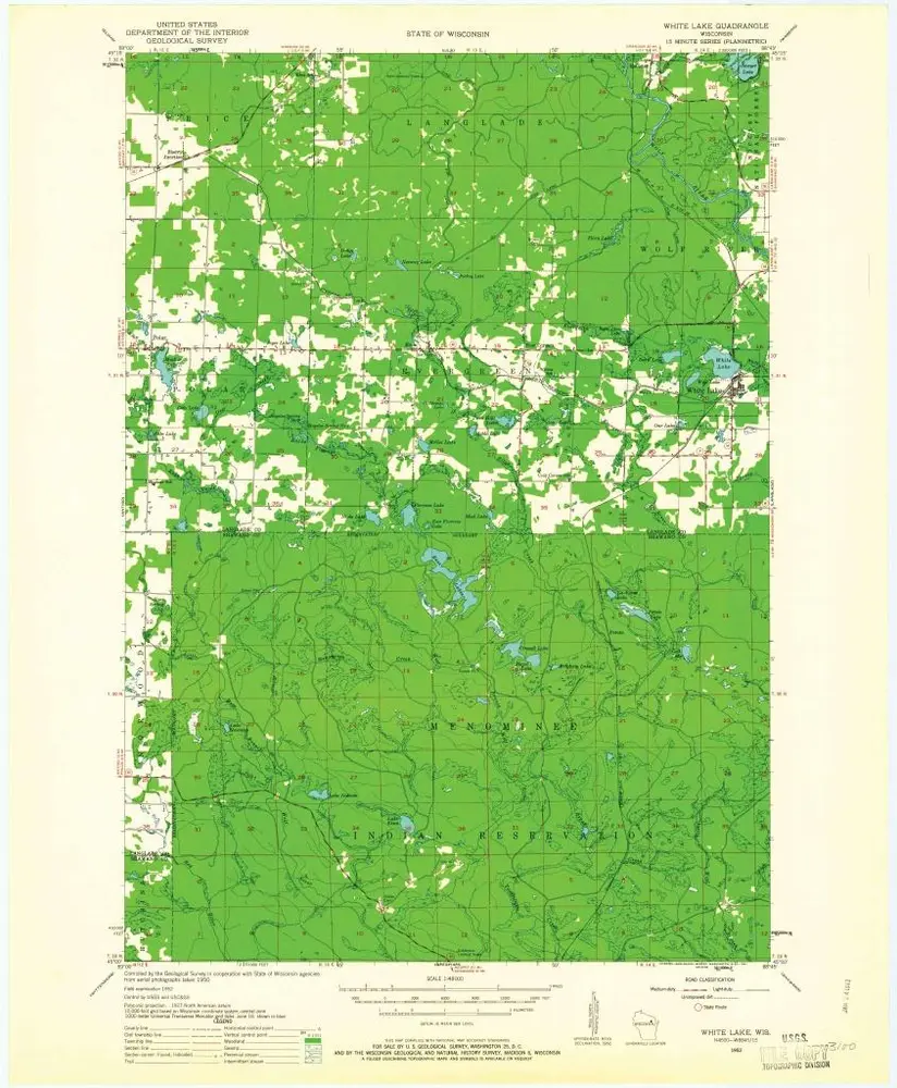
White Lake
1952
1:48k
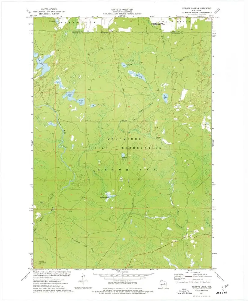
Perote Lake
1973
1:24k
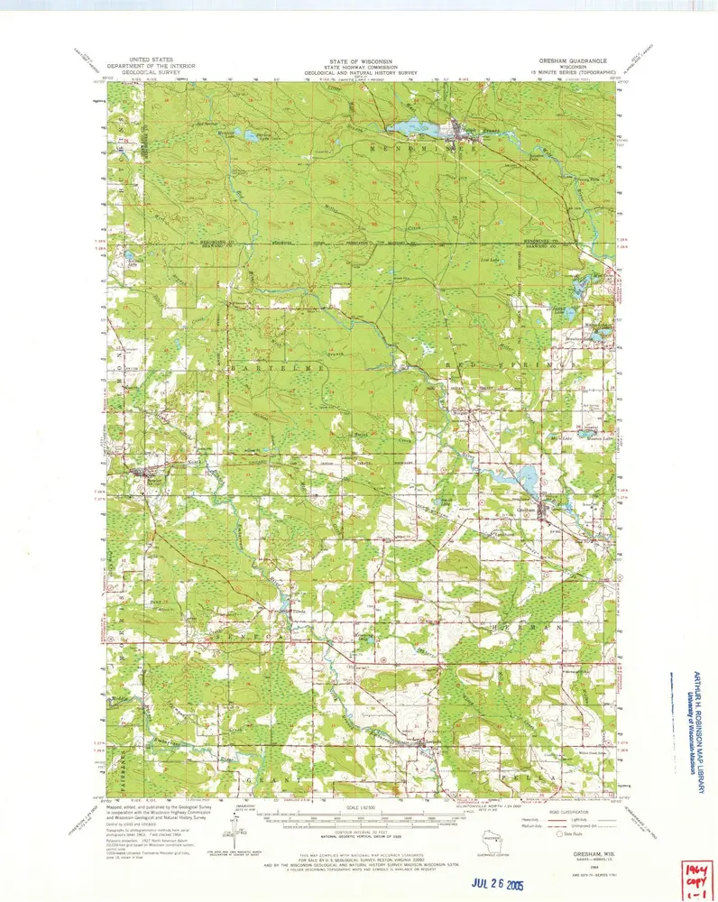
Gresham
1964
1:63k
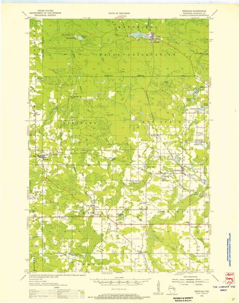
Gresham
1954
1:48k
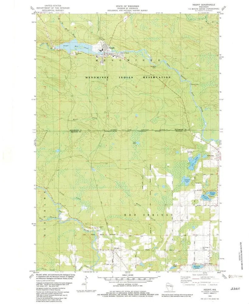
Neopit
1982
1:24k
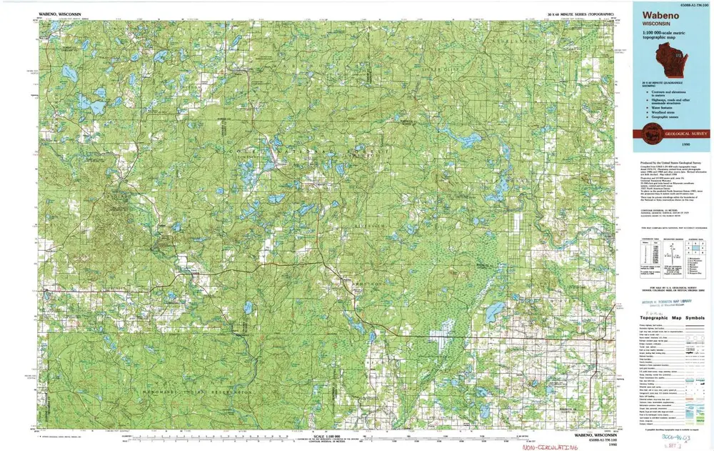
Wabeno
1990
1:100k
Map of the location of the Chicago St. Paul and F. du L. R. R. : from Fond du Lac to the state line at BruleÌ River, Wis.
1857
Johnson, S. F.
1:120k
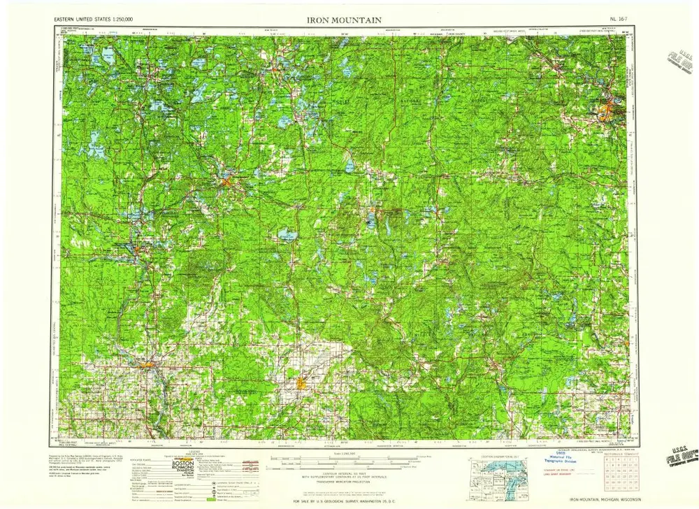
Iron Mountain
1959
1:250k
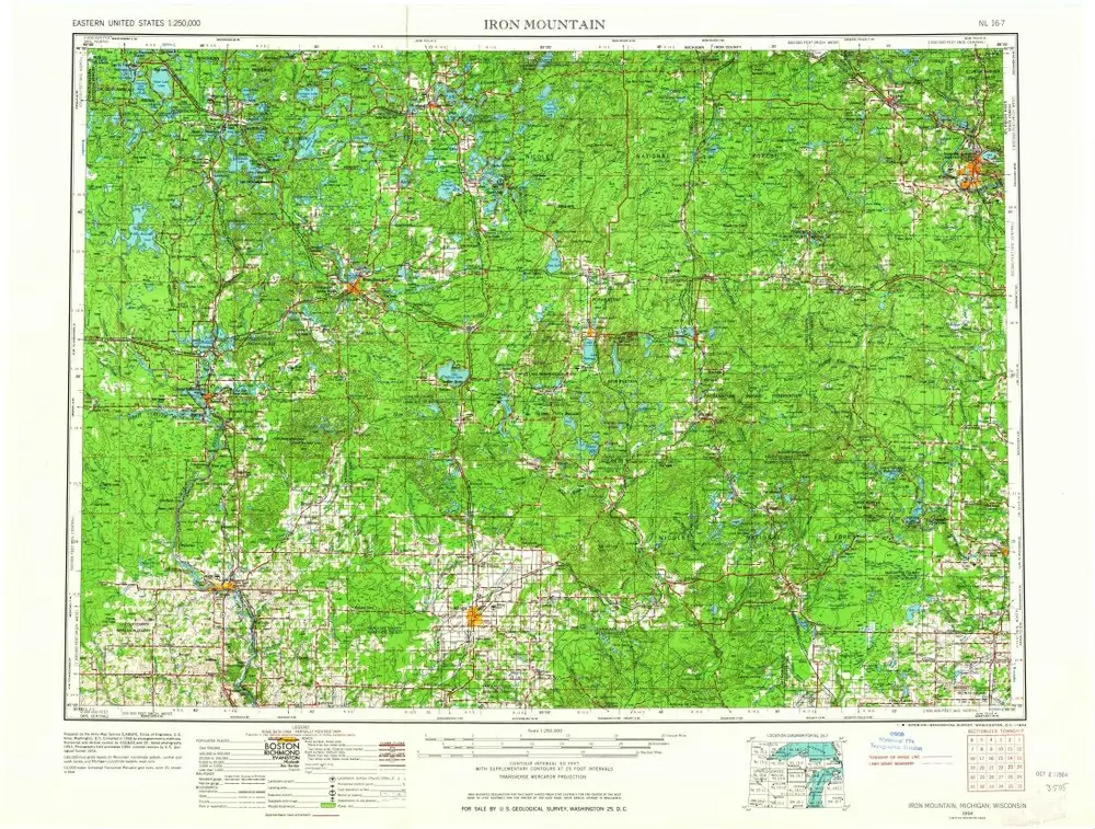
Iron Mountain
1954
1:250k
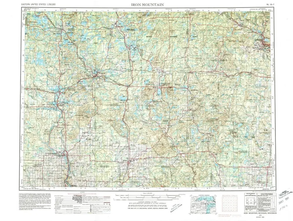
Iron Mountain
1954
1:250k