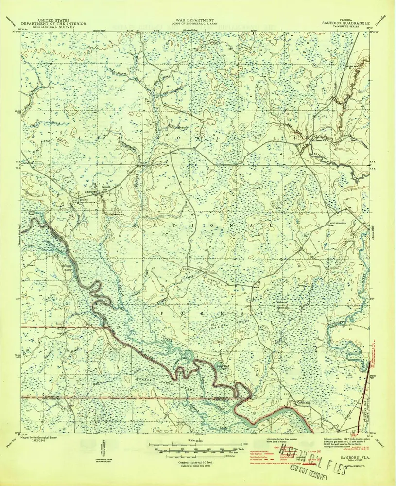
Katalogisierte Karte
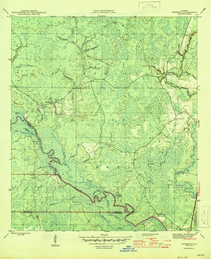
Sanborn

Einrichtung:United States Geological Survey
Vollständiger Titel:Sanborn
Jahr der Abbildung:1945
Maßstab der Karte:1:31 680
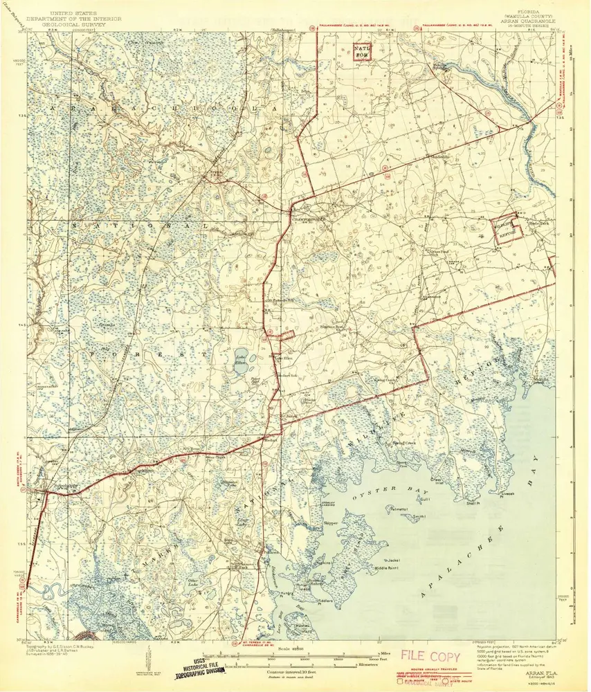
Arran
1943
1:63k
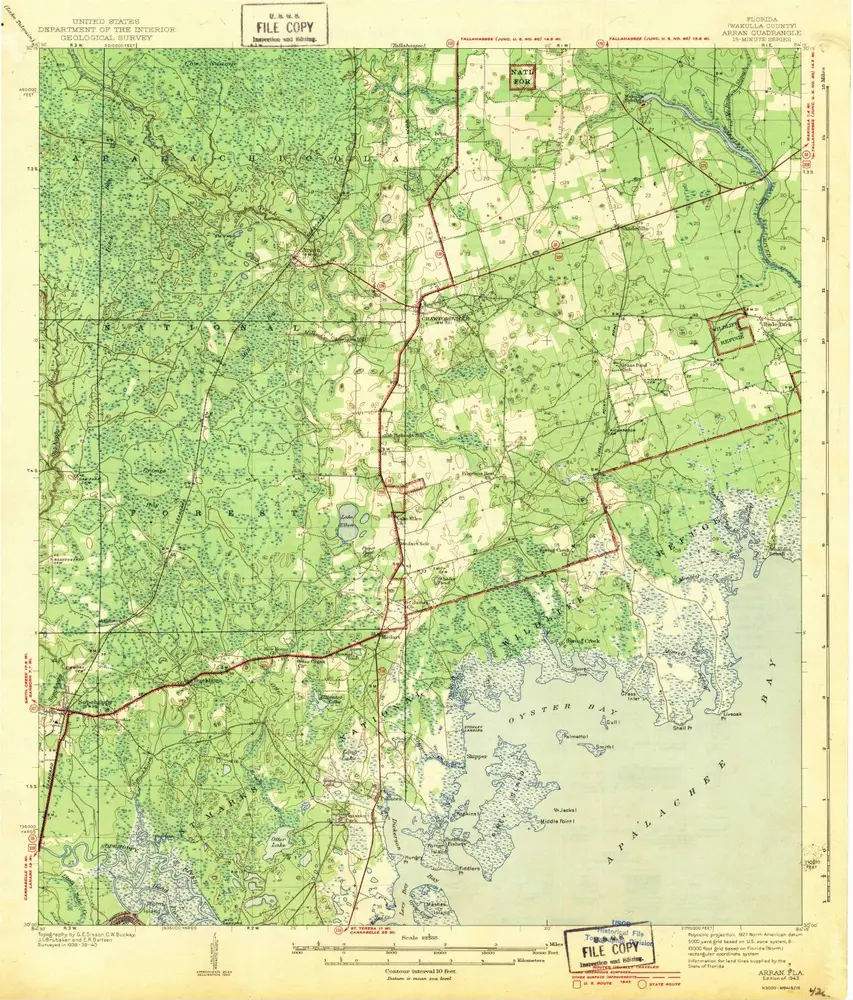
Arran
1943
1:63k
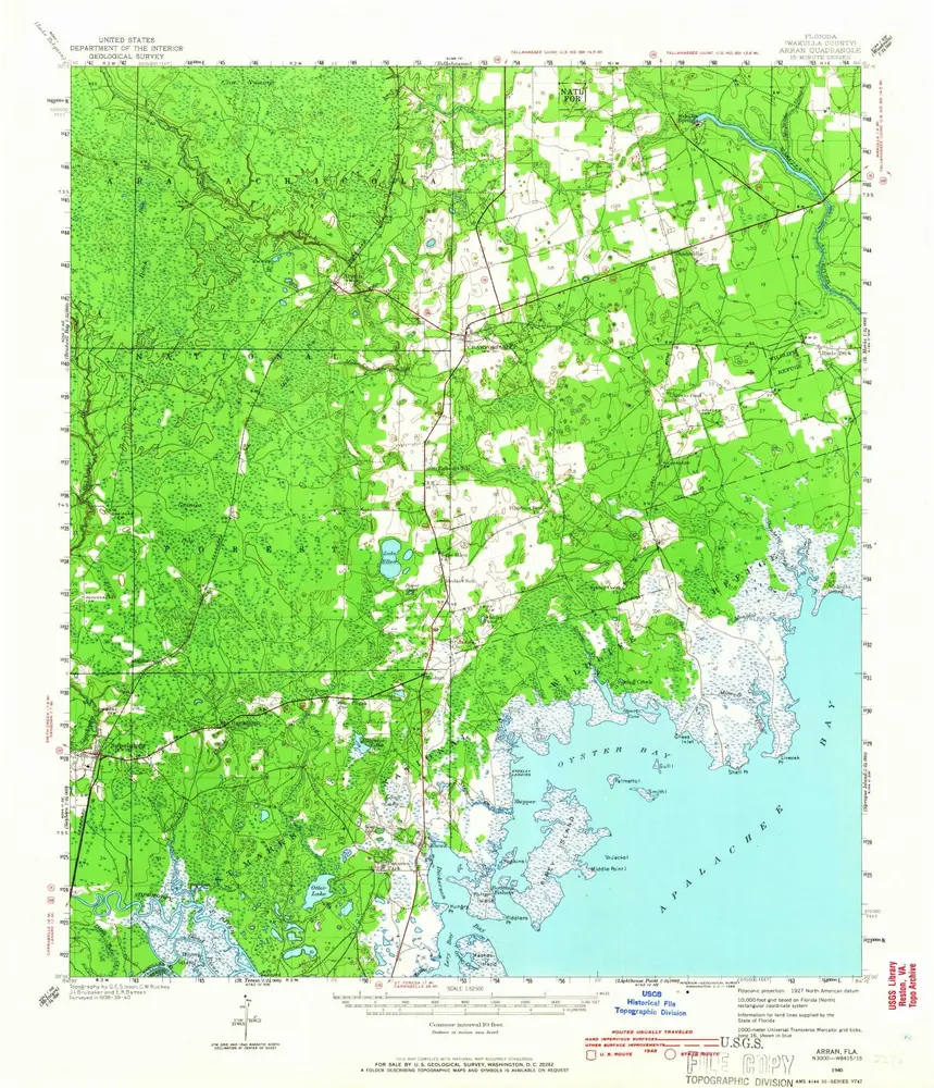
Arran
1940
1:63k
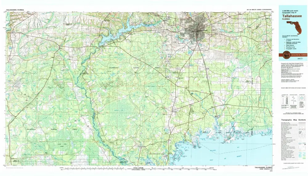
Tallahassee
1979
1:100k
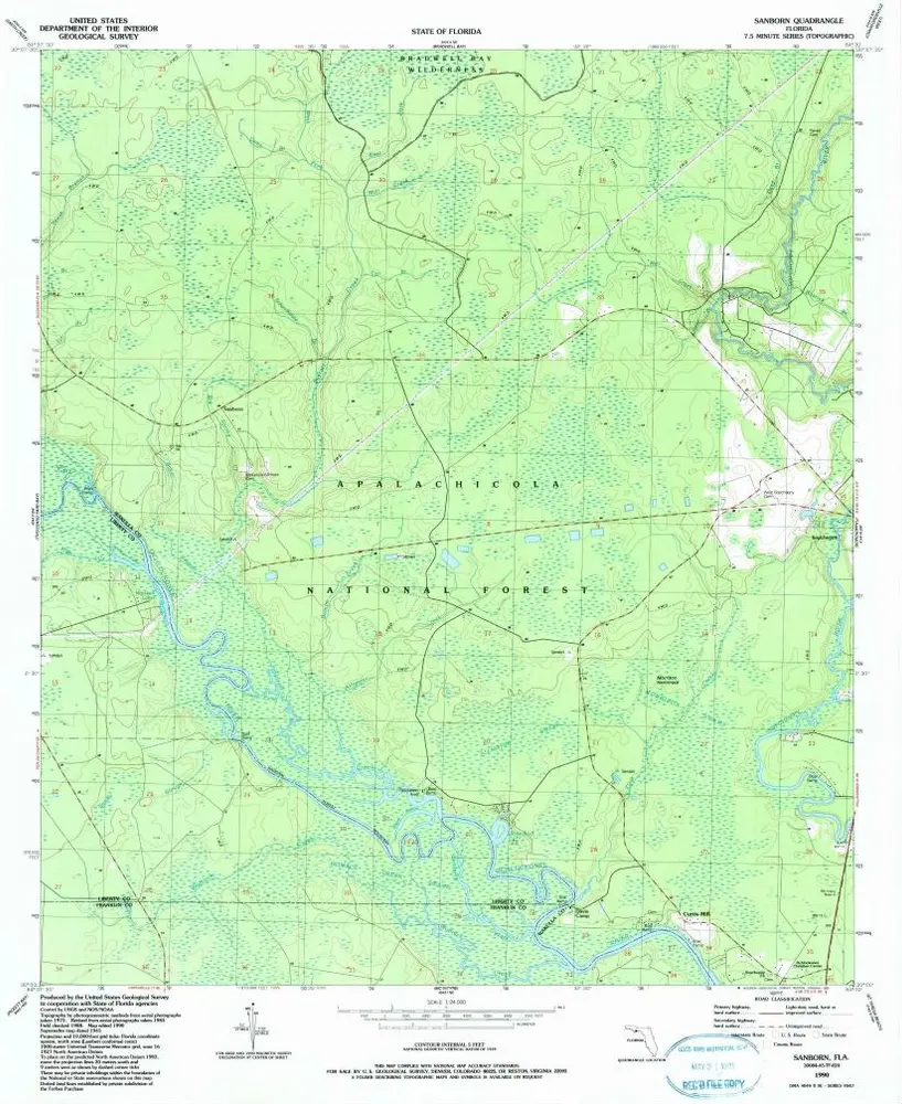
Sanborn
1990
1:24k
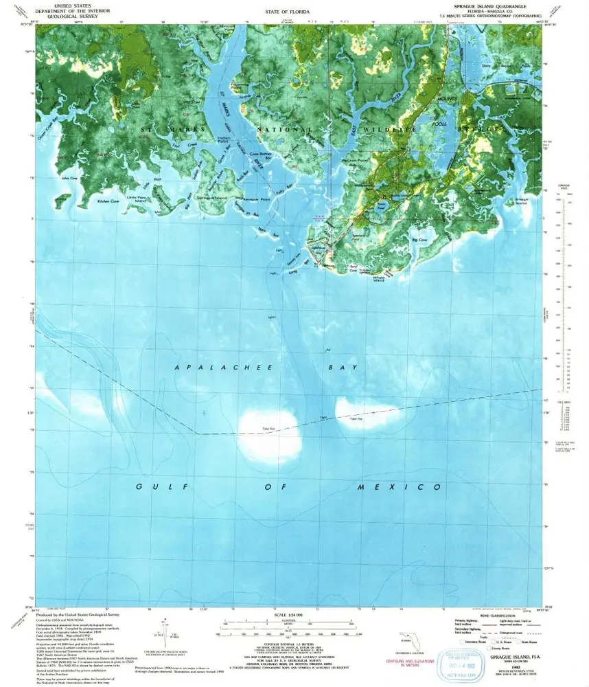
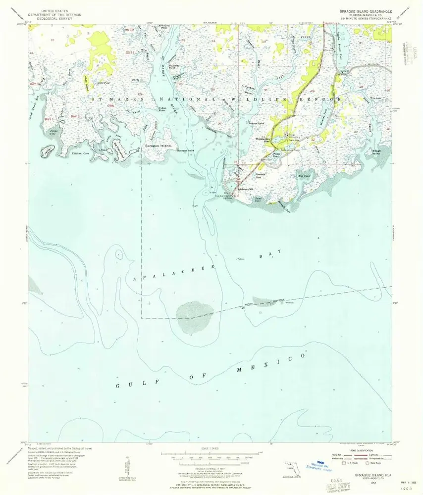
Sprague Island
1982
1:24k
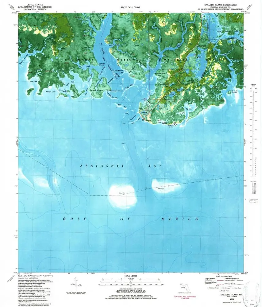
Sprague Island
1982
1:24k
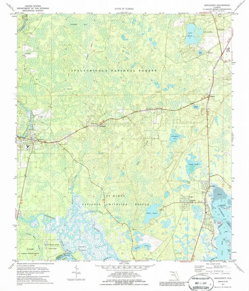
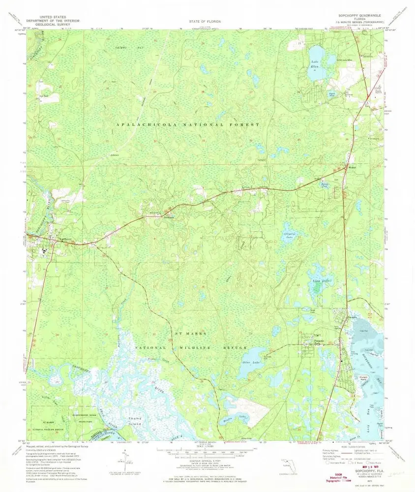
Sopchoppy
1972
1:24k
Sopchoppy
1972
1:24k
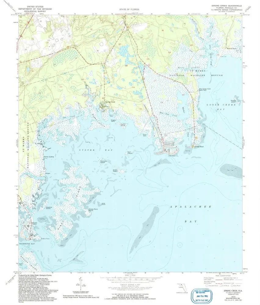
Spring Creek
1972
1:24k
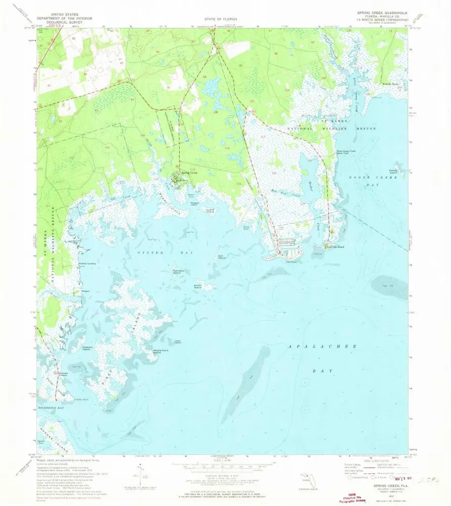
Spring Creek
1972
1:24k
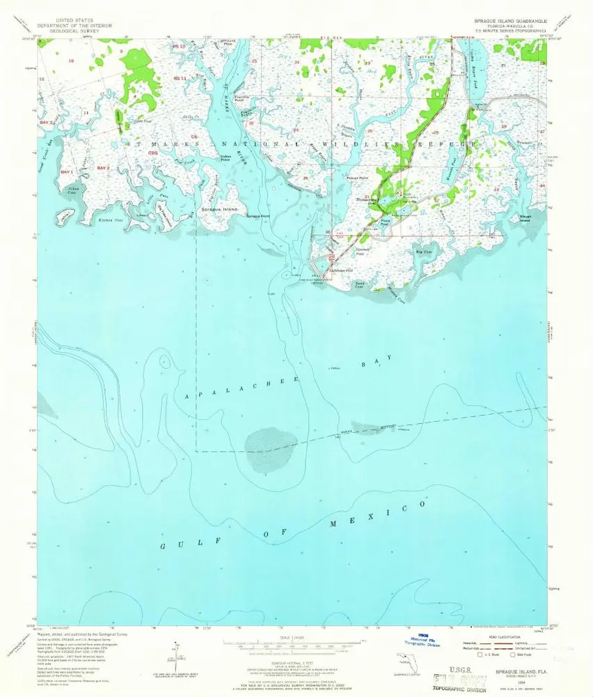
Sprague Island
1954
1:24k
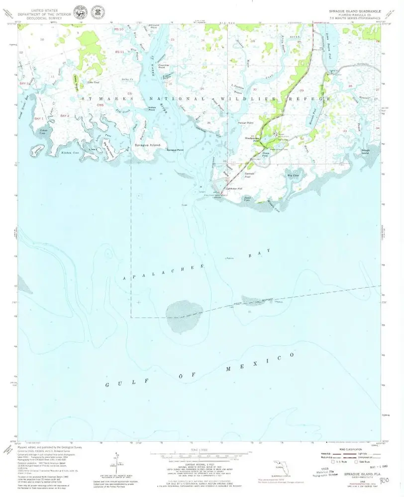
Sprague Island
1954
1:24k
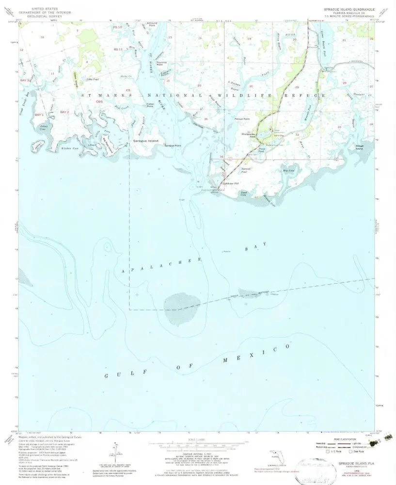
Sprague Island
1954
1:24k
Sprague Island
1954
1:24k
Sanborn
1945
1:32k
Sanborn
1945
1:32k
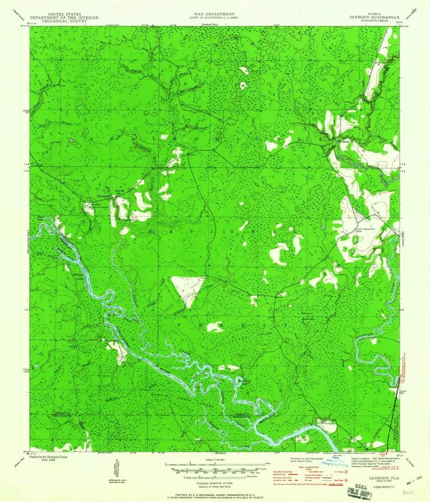
Sanborn
1945
1:24k