Progetto
Comunità
Notizie
La mia app
Le mie mappe
编目地图
Sardis
Visualizza sul sito web esterno
Visualizza digitalizzato
机构:
United States Geological Survey
完整标题:
Sardis
描述:
1949
发布日期:
1952
地图比例尺:
1:24 000
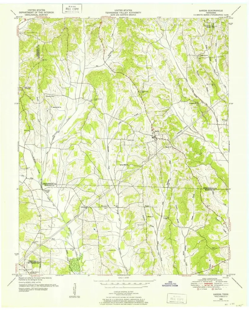
Sardis
1949
1:24k
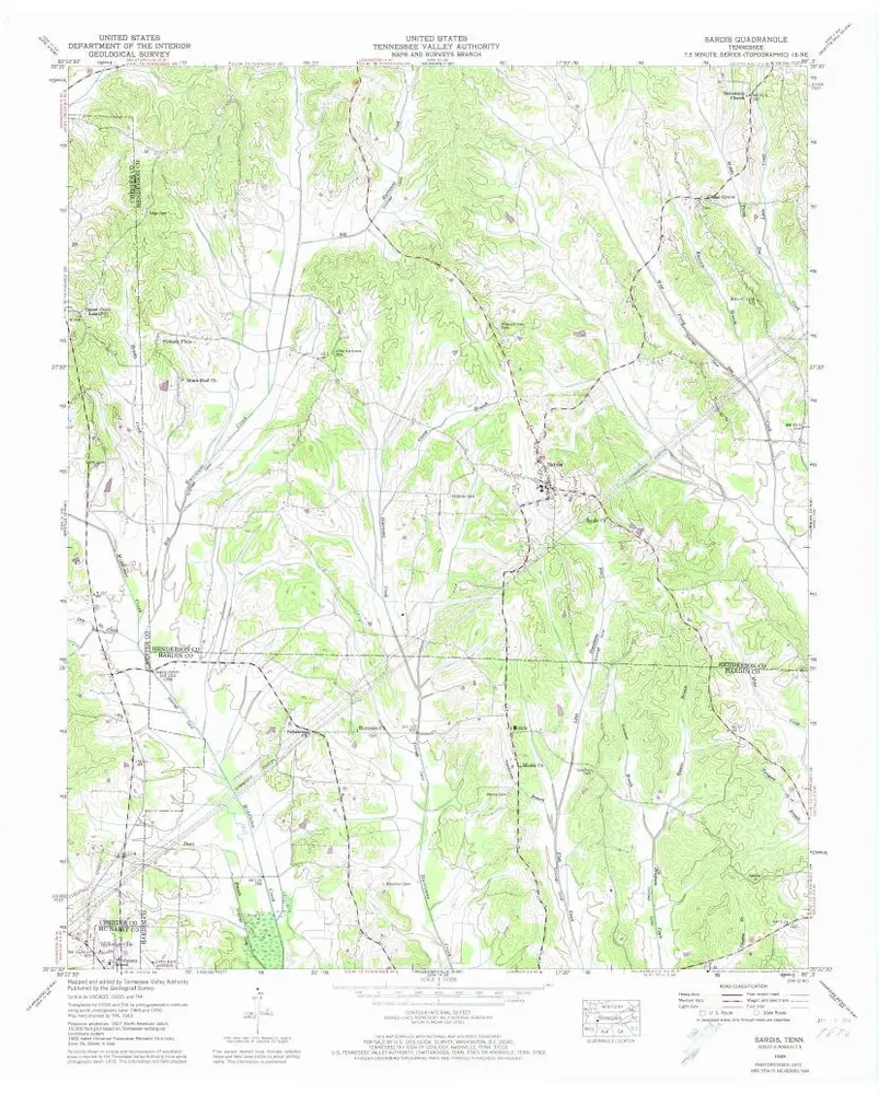
Sardis
1949
1:24k
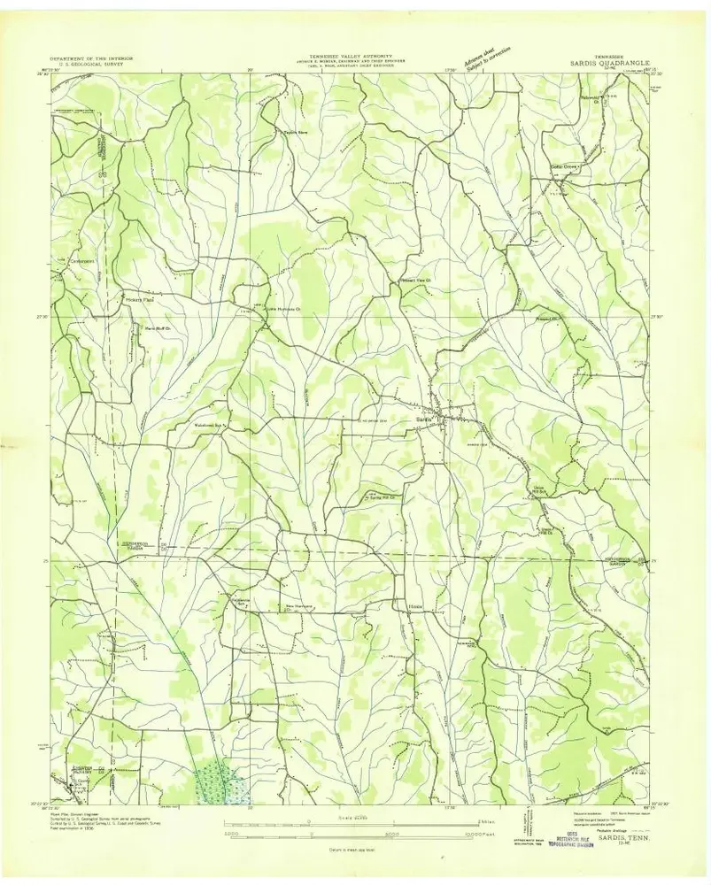
Sardis
1936
1:24k
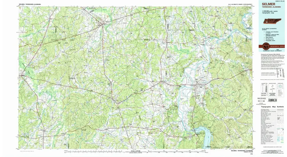
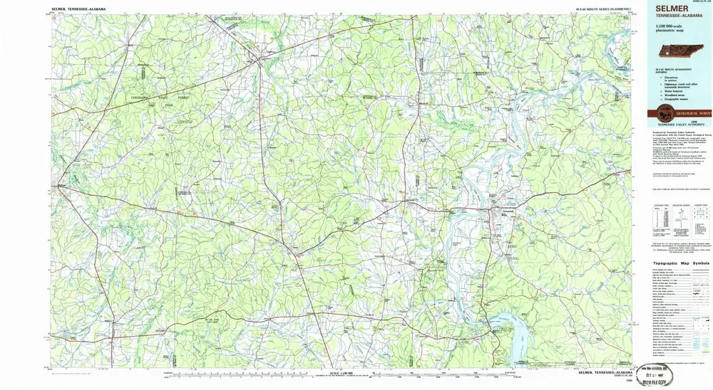
Selmer
1986
1:100k
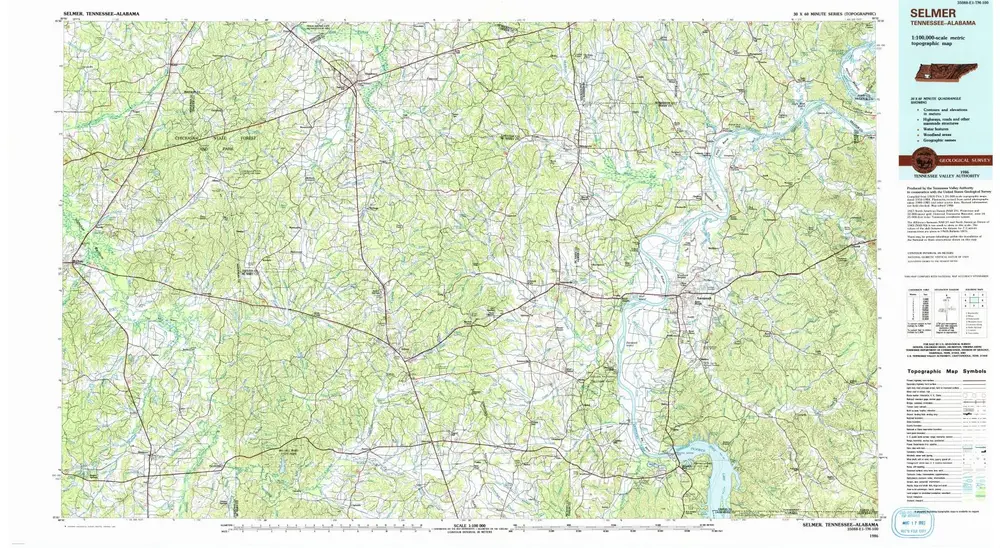
Selmer
1986
1:100k
Selmer
1986
1:100k
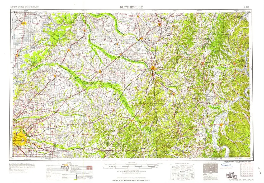
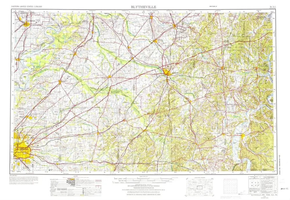
Blytheville
1959
1:250k
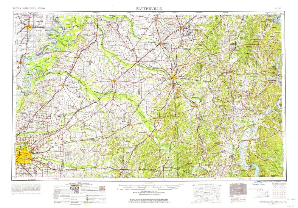
Blytheville
1956
1:250k
Blytheville
1956
1:250k
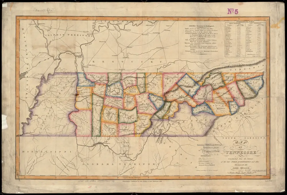
Map of Tennessee
1818
Melish, John
1:1m
历史