Progetto
Comunità
Notizie
La mia app
Le mie mappe
Katalogisierte Karte
Cedaredge
Visualizza sul sito web esterno
Visualizza digitalizzato
Einrichtung:
United States Geological Survey
Vollständiger Titel:
Cedaredge
Jahr der Abbildung:
1965
Veröffentlichungsdatum:
1979
Maßstab der Karte:
1:24 000
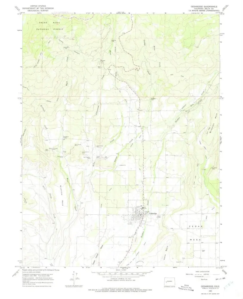
Cedaredge
1965
1:24k
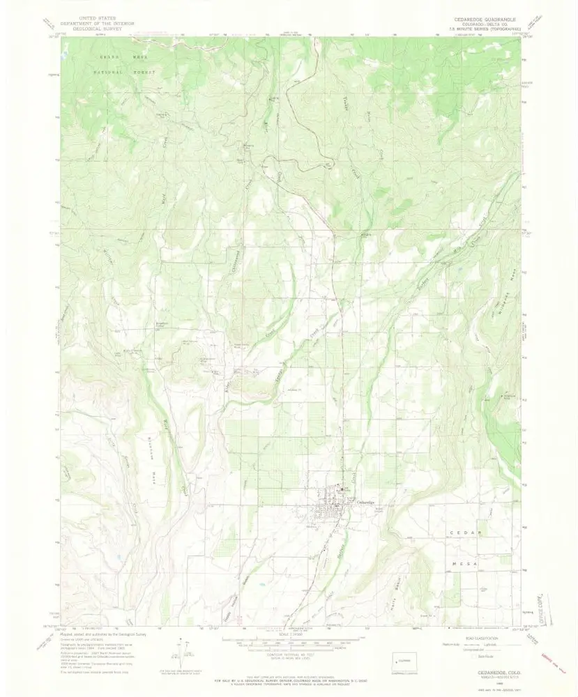
Cedaredge
1965
1:24k
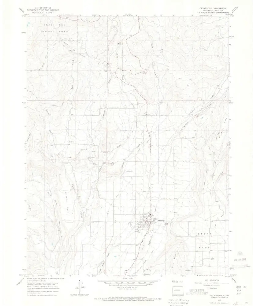
Cedaredge
1965
1:24k
Cedaredge
1965
1:24k
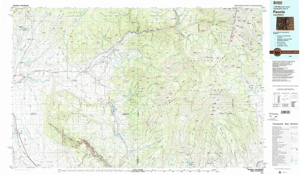
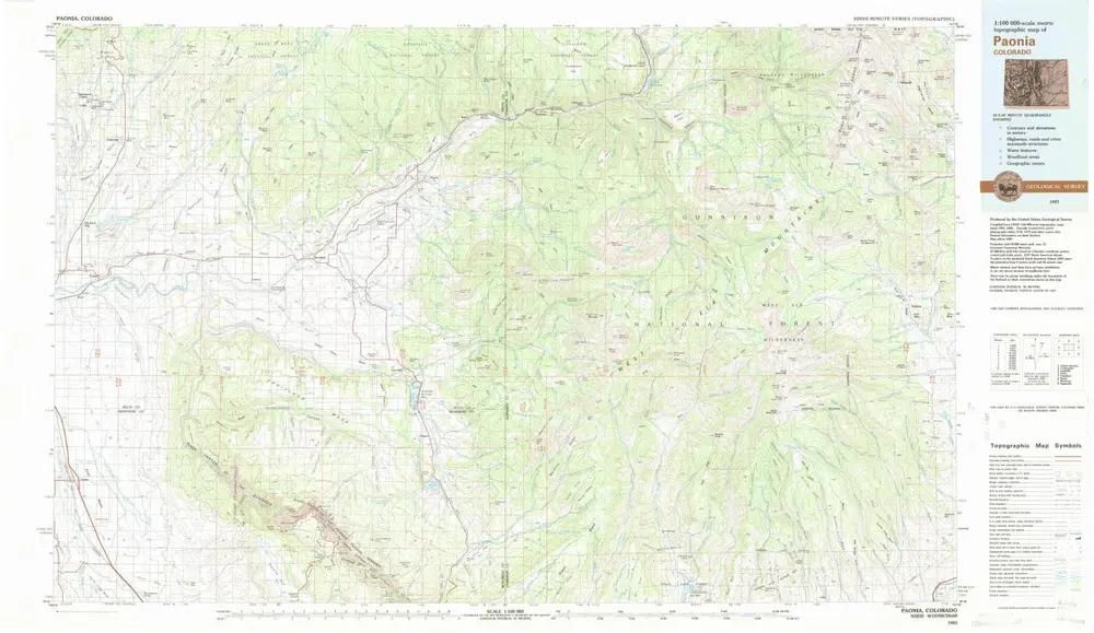
Paonia
1983
1:100k
Paonia
1983
1:100k
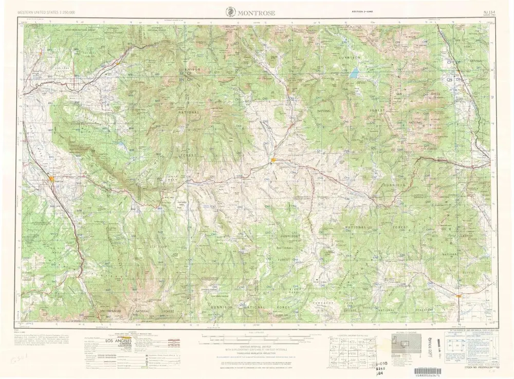
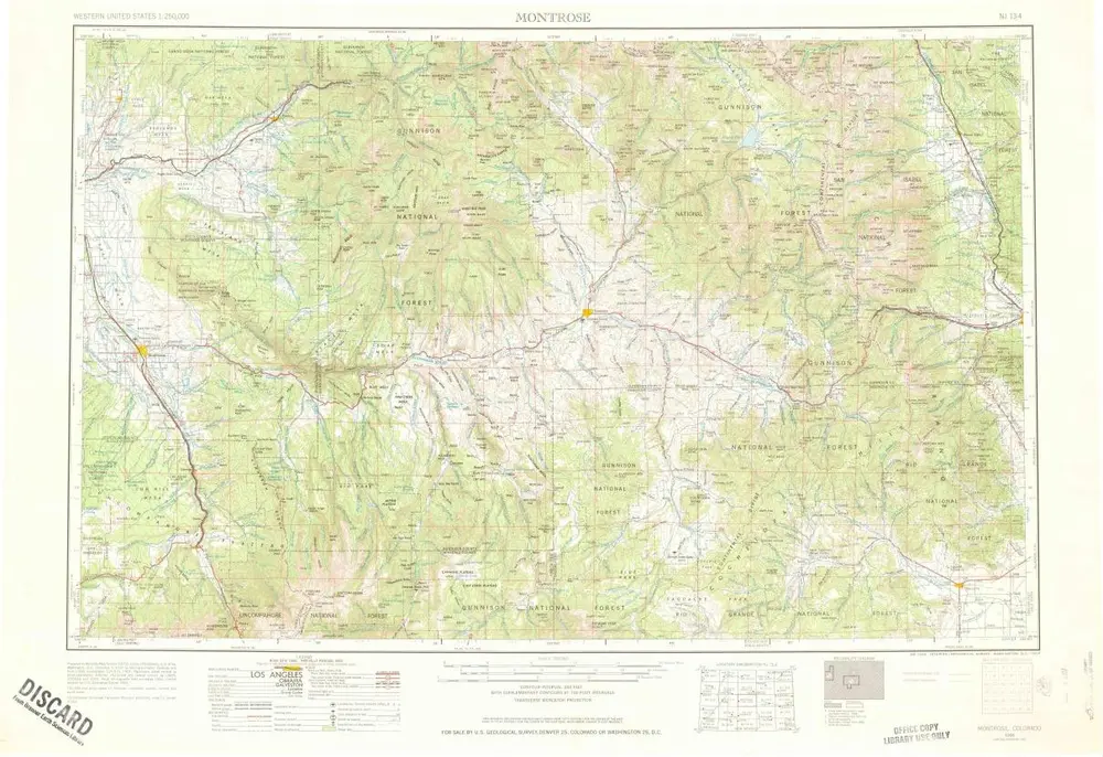
Montrose
1968
1:250k
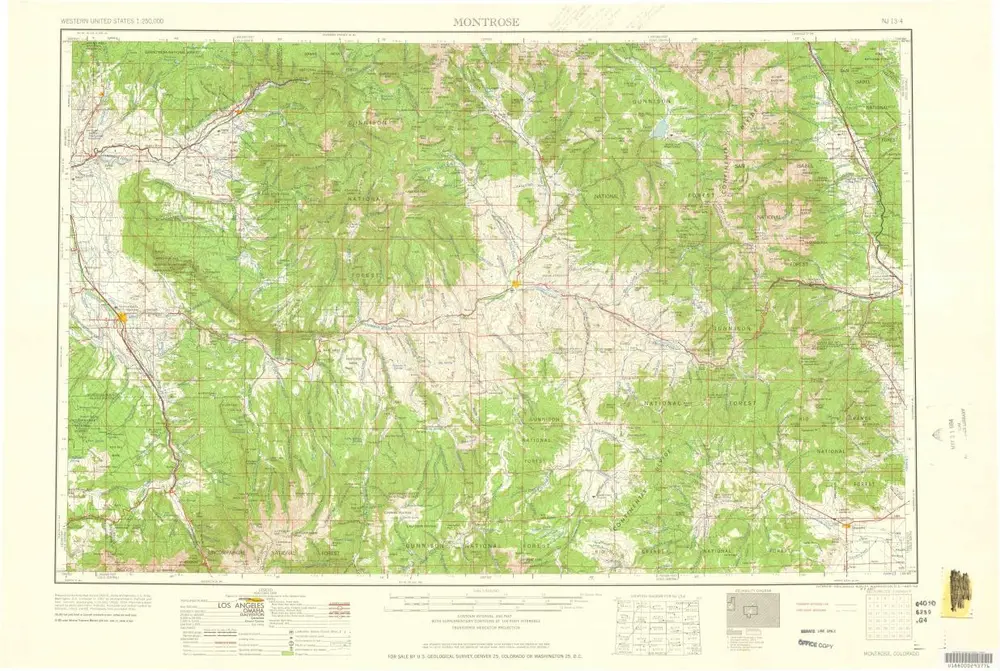
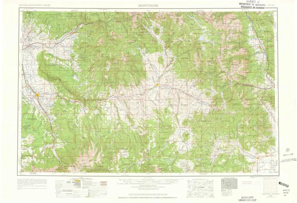
Montrose
1960
1:250k
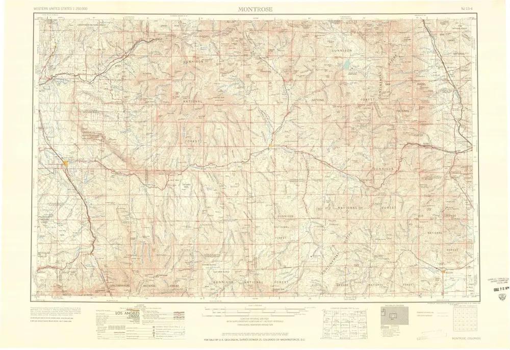
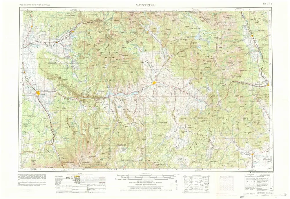
Montrose
1960
1:250k
Montrose
1956
1:250k
Montrose
1956
1:250k
Montrose
1956
1:250k
Geschichte