Progetto
Comunità
Notizie
La mia app
Le mie mappe
Skatalogowana mapa
Olive Hill
Visualizza sul sito web esterno
View digitized
Instytucja:
United States Geological Survey
Pełny tytuł:
Olive Hill
Rok ilustracji:
1970
Data publikacji:
1979
Skala mapy:
1:24 000
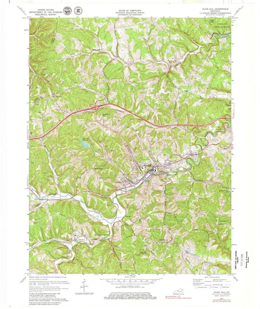
Olive Hill
1970
1:24k
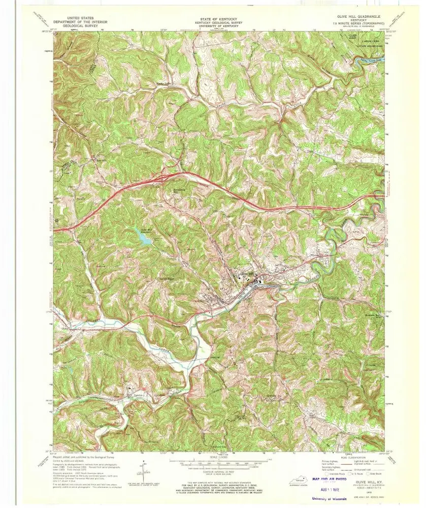
Olive Hill
1970
1:24k
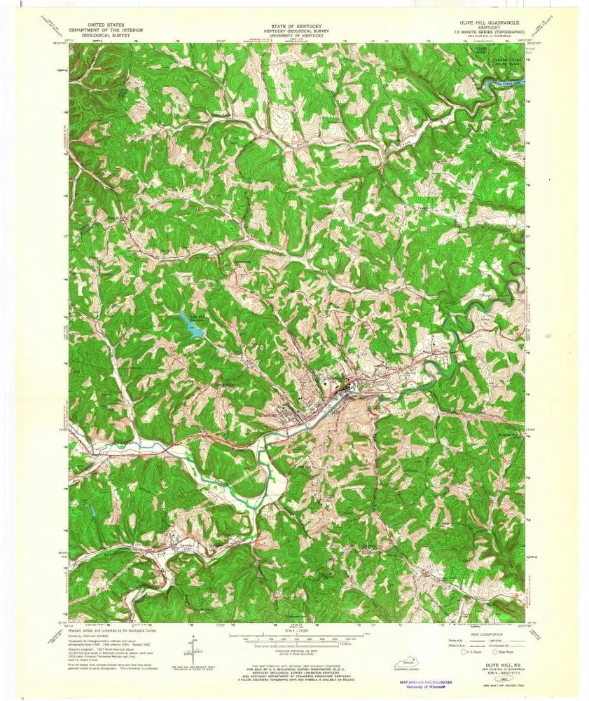
Olive Hill
1962
1:24k
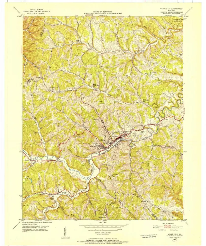
Olive Hill
1950
1:24k
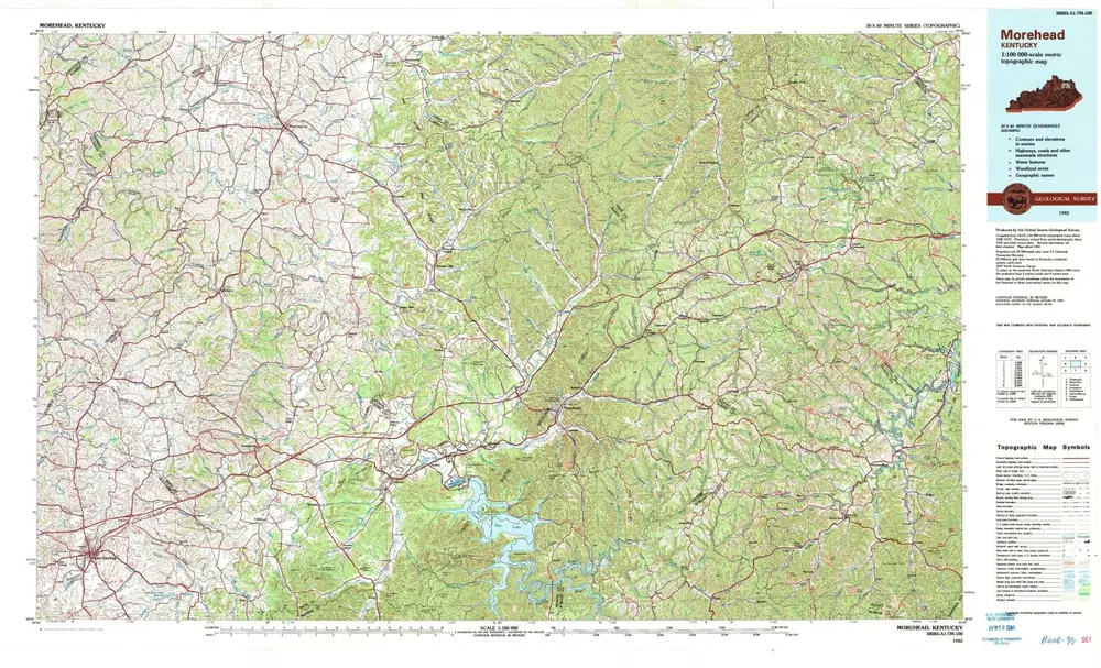
Morehead
1982
1:100k
Huntington
1960
1:250k
Huntington
1957
1:250k
Huntington
1957
1:250k
Huntington
1957
1:250k
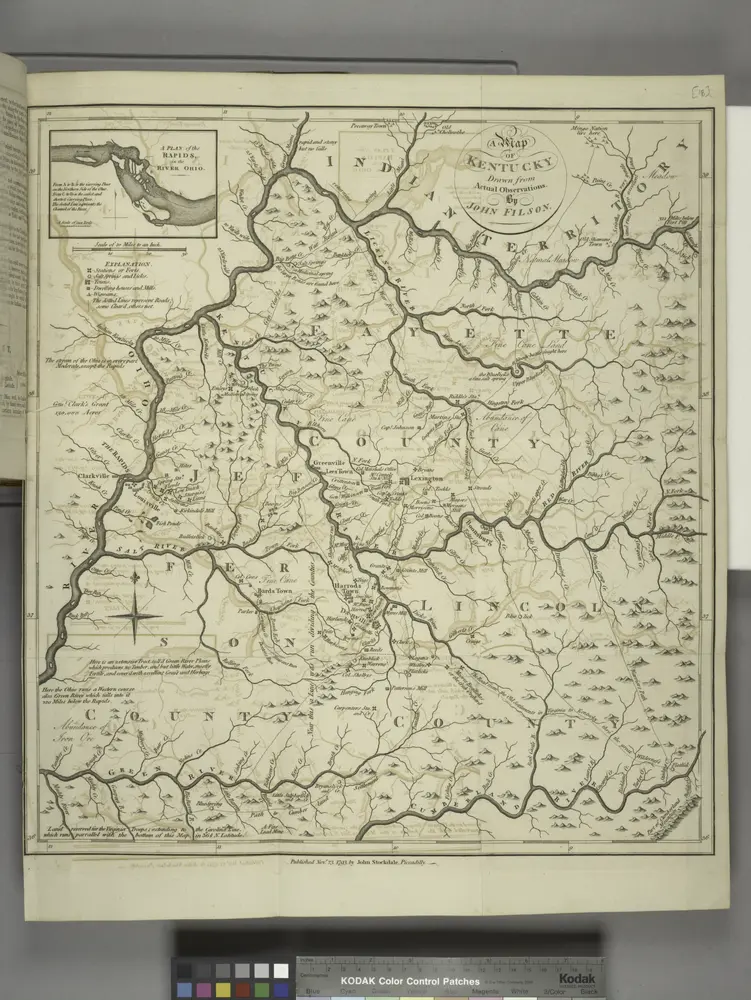
A map of Kentucky, drawn from actual observations by John Filson.
1794
Historia