Progetto
Comunità
Notizie
La mia app
Le mie mappe
Cataloged map
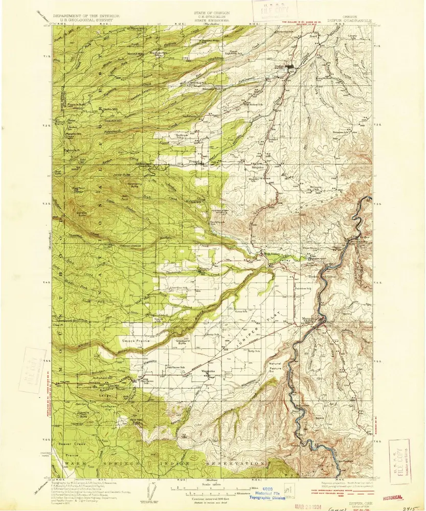
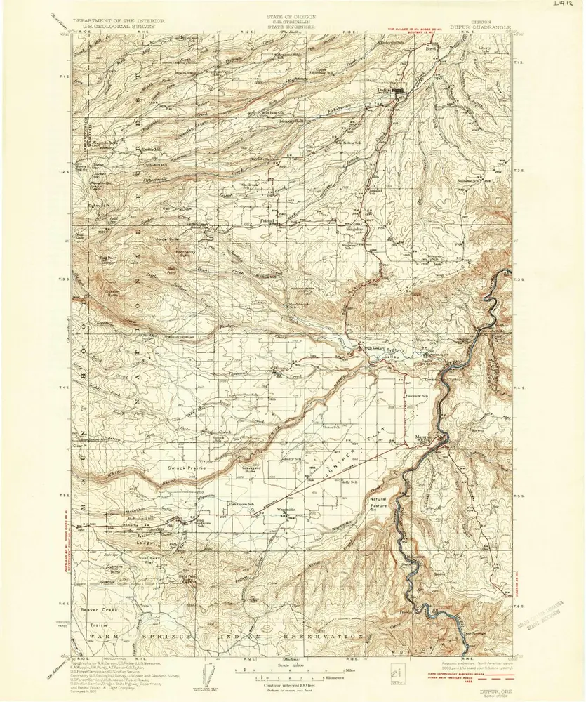
Dufur
Visualizza sul sito web esterno
Visualizza digitalizzato
Institution:
United States Geological Survey
Full title:
Dufur
Depicted:
1934
Pubdate:
1934
Map scale:
1:125 000
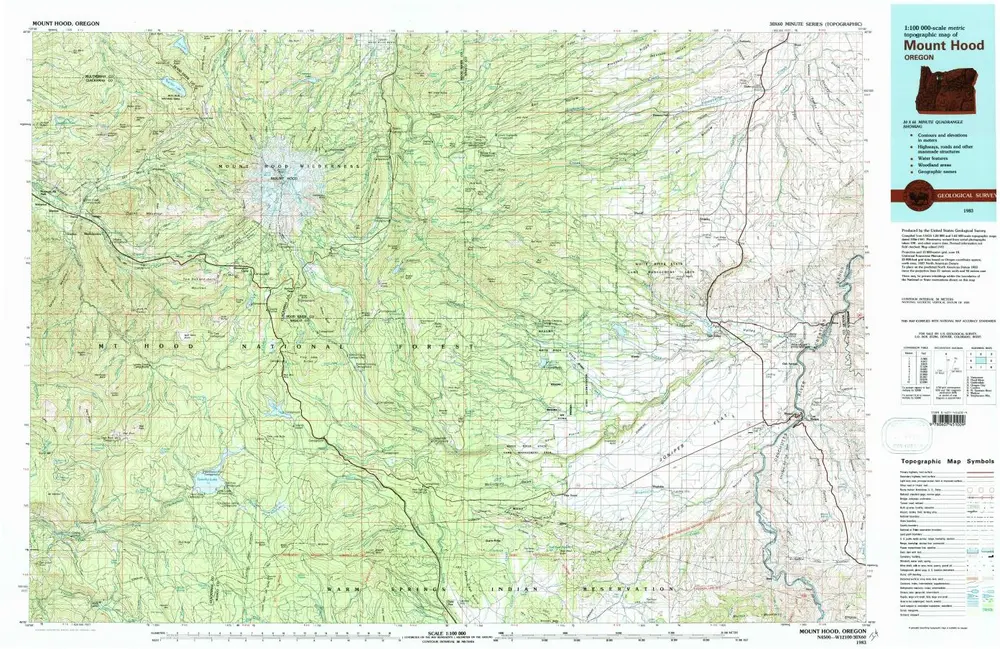
Mount Hood
1983
1:100k
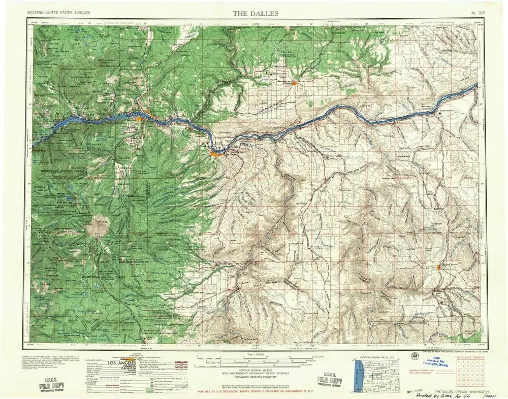
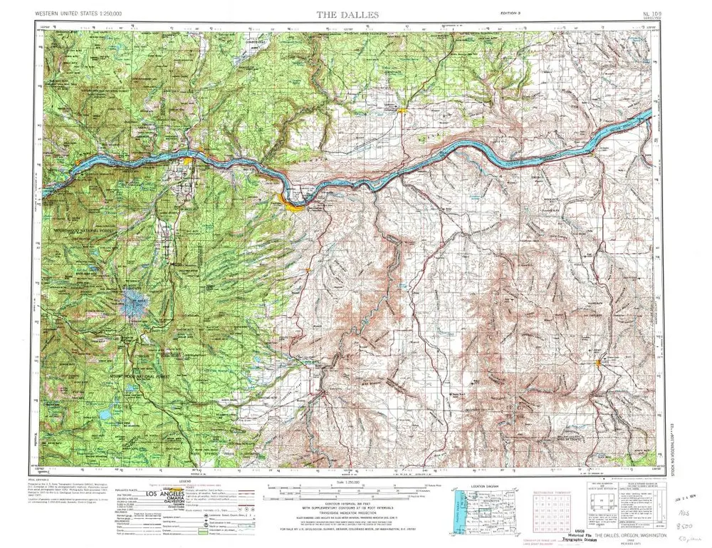
The Dalles
1957
1:250k
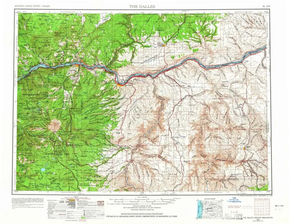
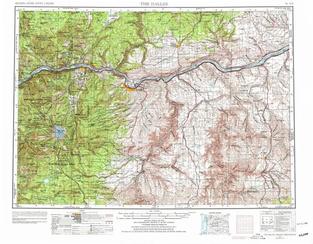
The Dalles
1953
1:250k
The Dalles
1953
1:250k
The Dalles
1953
1:250k
Dufur
1934
1:125k
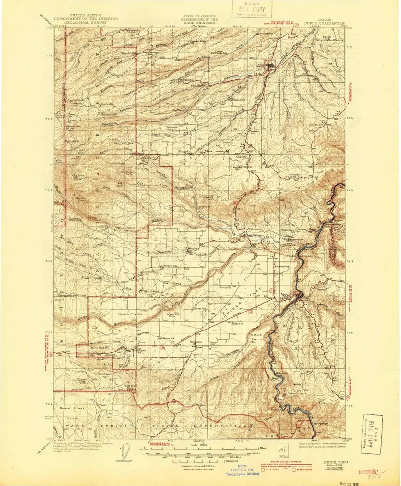
Dufur
1934
1:125k
Dufur
1930
1:125k
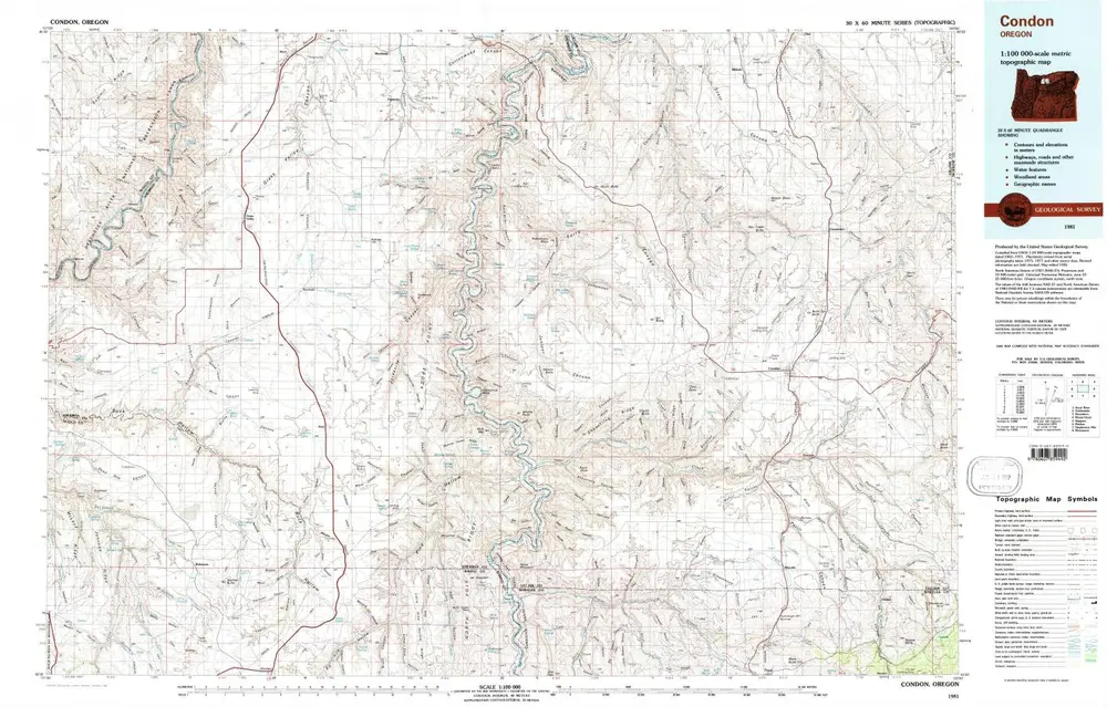
Condon
1981
1:100k
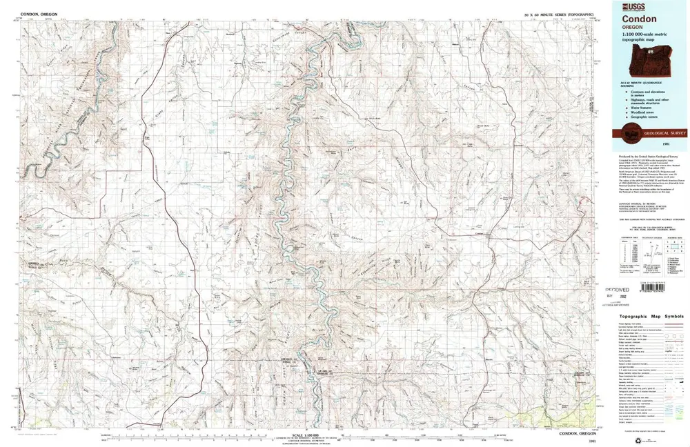
Condon
1981
1:100k
History