Documento

Andover
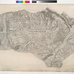
This drawing delineates the county border of Hampshire and Wiltshire. The boundary is marked as a red pecked line and follows the path of main roads and field boundaries. At Fullerton, the River Test branches into its tributaries. The draughtsman names each river and canal and depicts their various intersections. Main communication routes are tinted yellow, with the road near Doles Wood at the top of the plan marked "TG", meaning toll gate. Attention paid to communication routes is evidence of the military focus of the survey. Several archaeological sites are marked in this area, with the neighbouring hillforts of Sidbury and Quarley indicated by concentric rings towards the top left of the map. Varying shades of green are used to distinguish forests and meadows.
The British Library1808
1808

