Projet
Communauté
Actualités
Mon appli
Mes cartes
Mapa catalogado
Troy
Voir sur le site web externe
Institución:
United States Geological Survey
Título completo:
Troy
Año de ilustración:
1945
Escala del mapa:
1:62 500
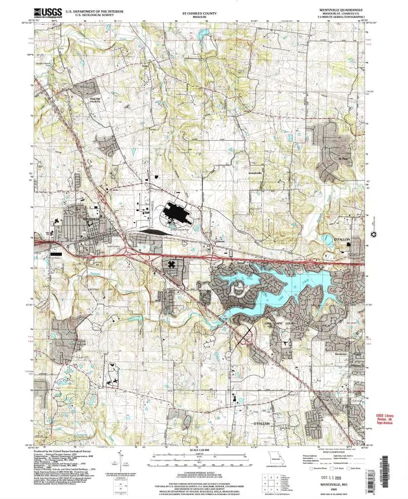
Wentzville
2000
1:24k
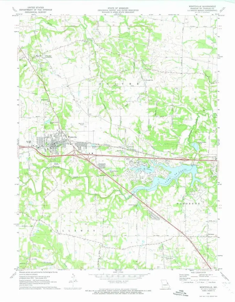
Wentzville
1972
1:24k
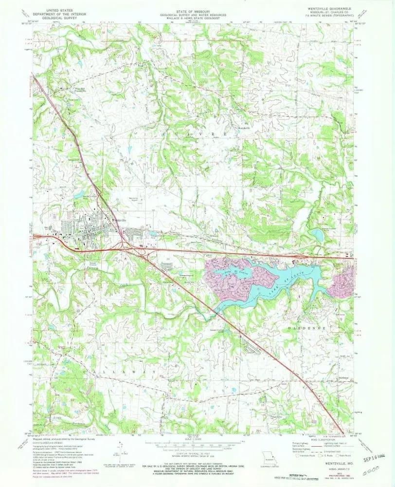
Wentzville
1972
1:24k
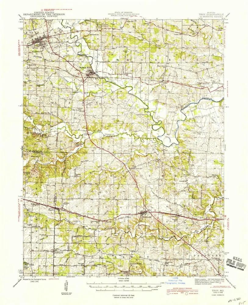
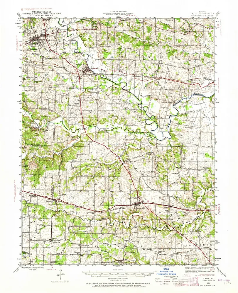
Troy
1945
1:63k
Troy
1945
1:63k
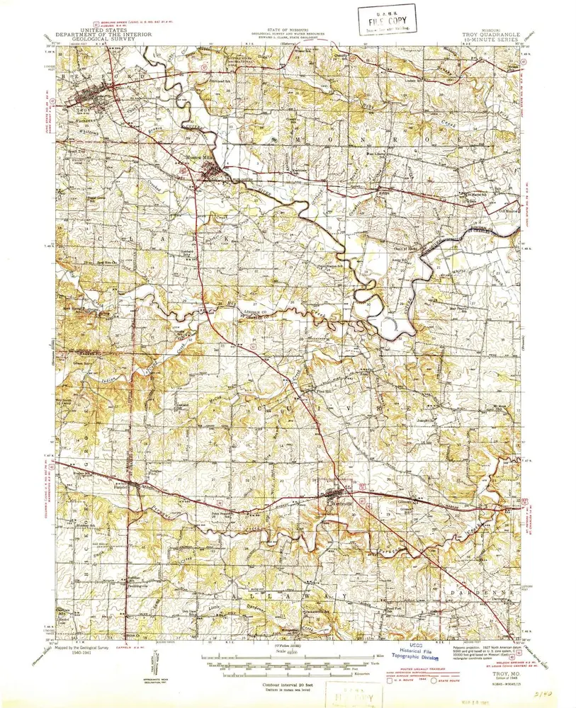
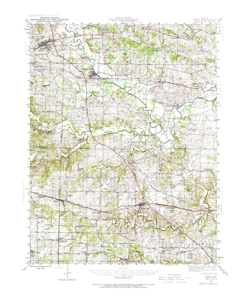
Troy
1941
1:63k
Troy
1941
1:63k
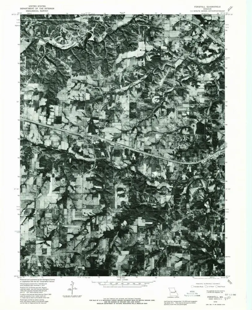
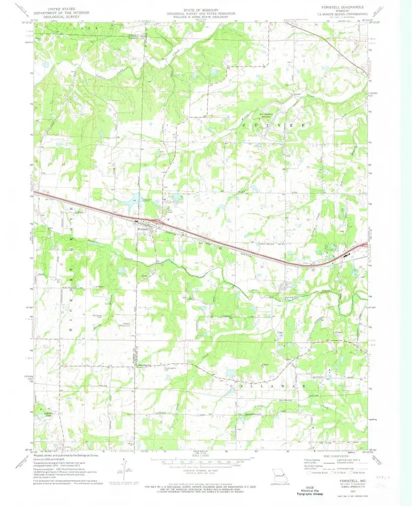
Foristell
1979
1:24k
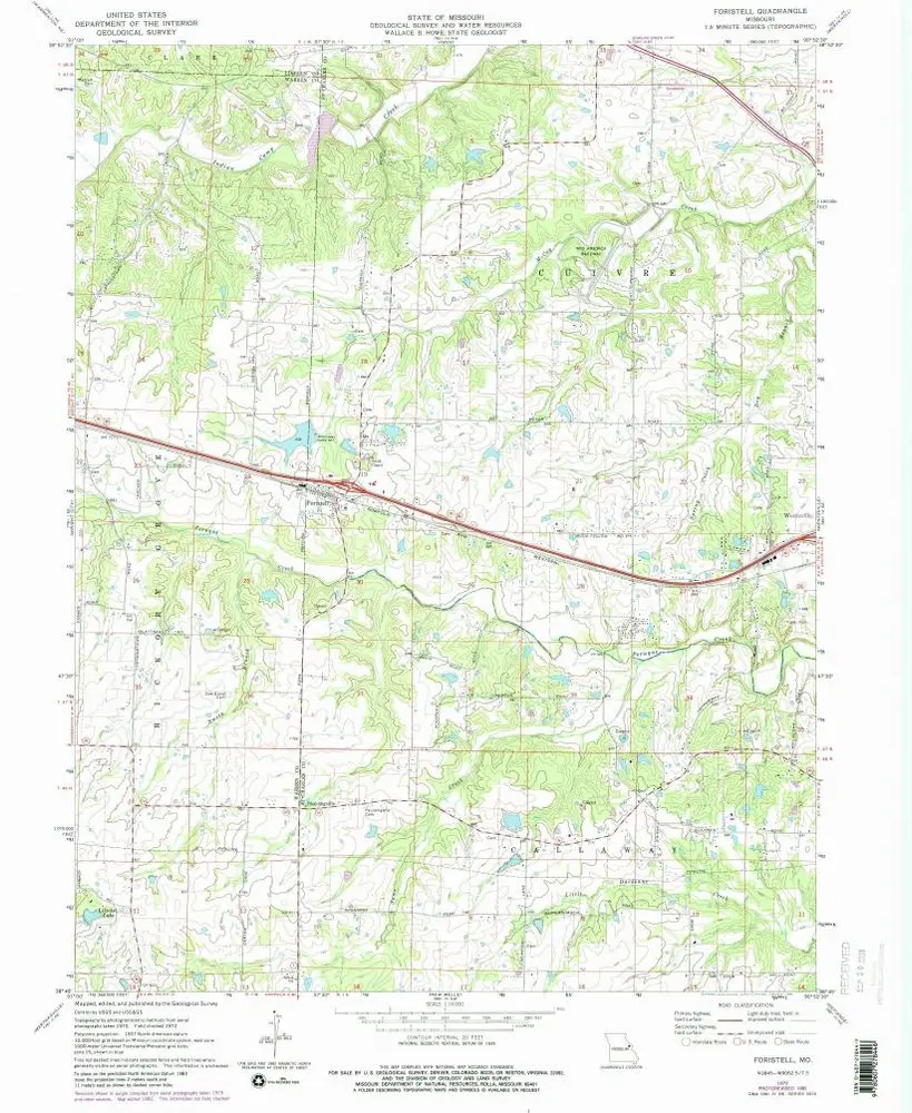
Foristell
1972
1:24k
Foristell
1972
1:24k
Historia