Projet
Communauté
Actualités
Mon appli
Mes cartes
Skatalogowana mapa
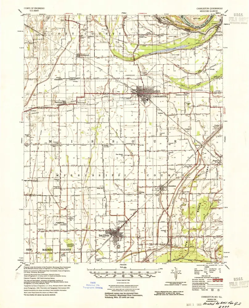
Charleston
Voir sur le site web externe
View digitized
Instytucja:
United States Geological Survey
Pełny tytuł:
Charleston
Rok ilustracji:
1954
Skala mapy:
1:62 500
Charleston
1954
1:63k
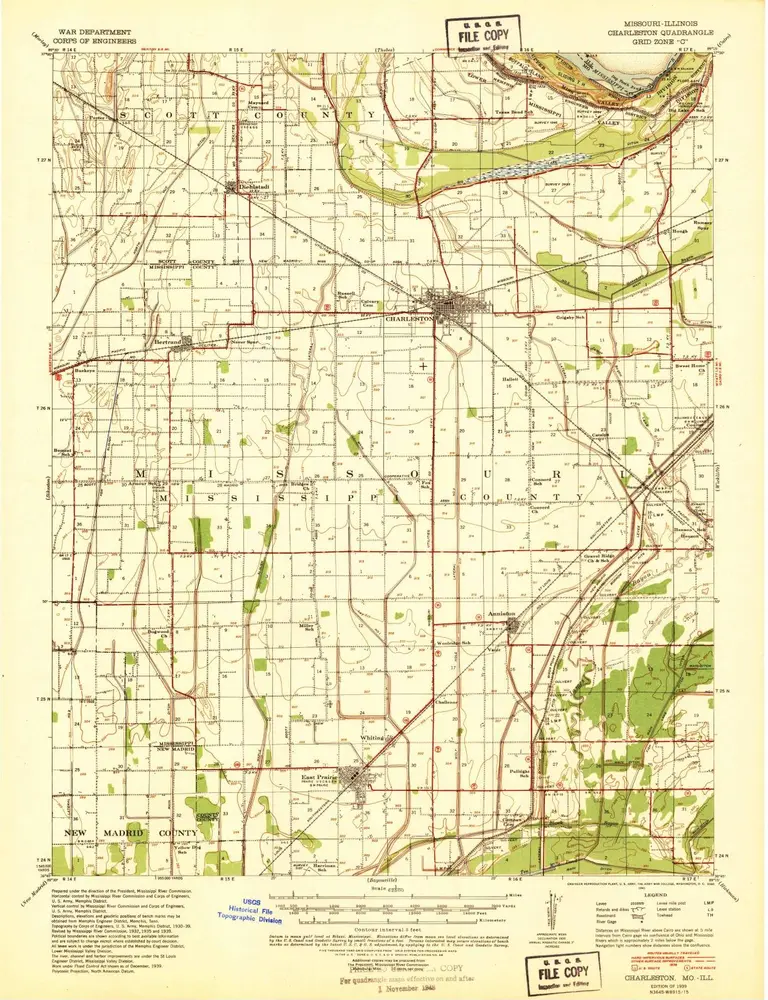
Charleston
1939
1:63k
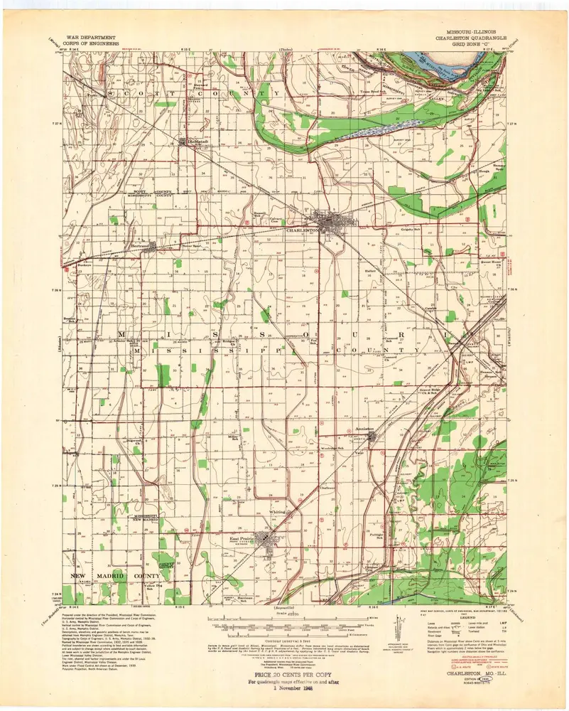
Charleston
1939
1:63k
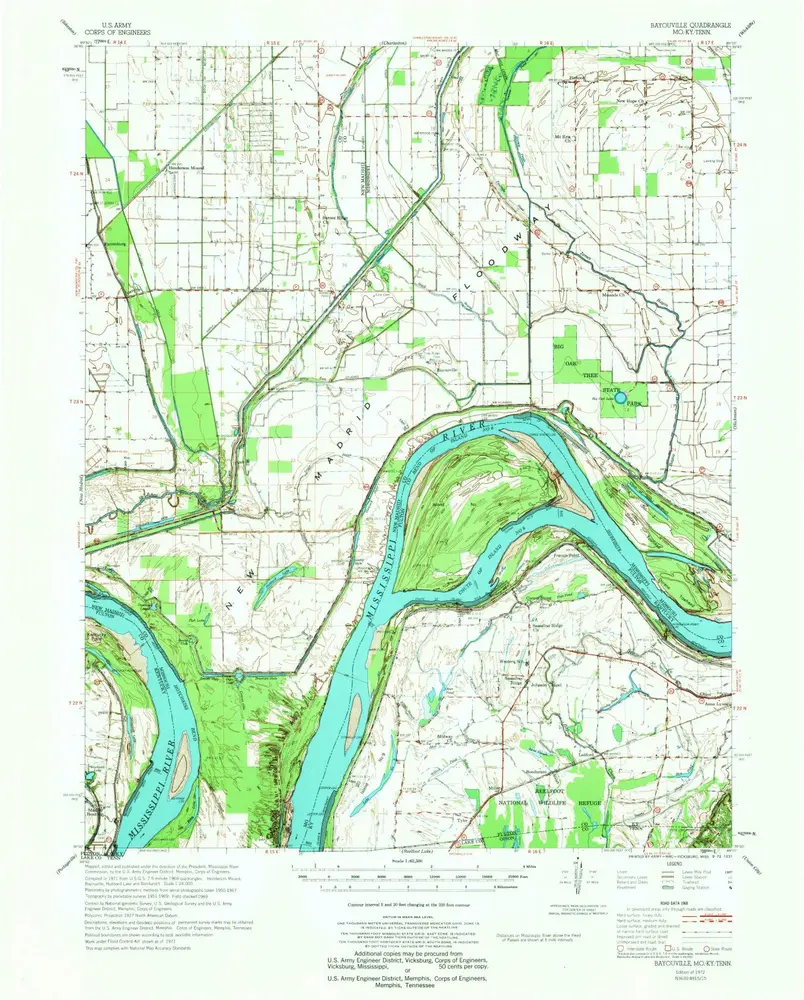
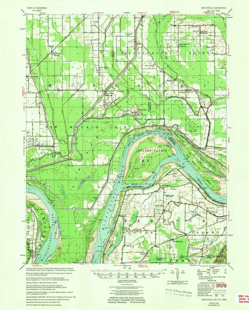
Bayouville
1972
1:63k
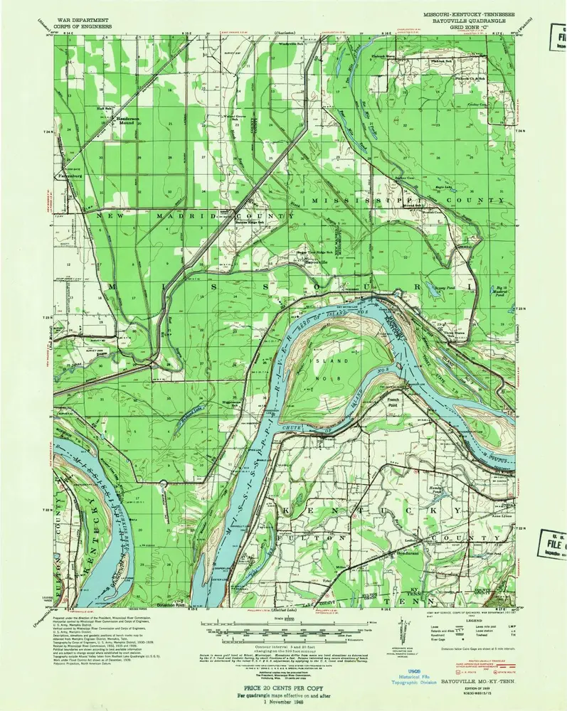
Bayouville
1955
1:63k
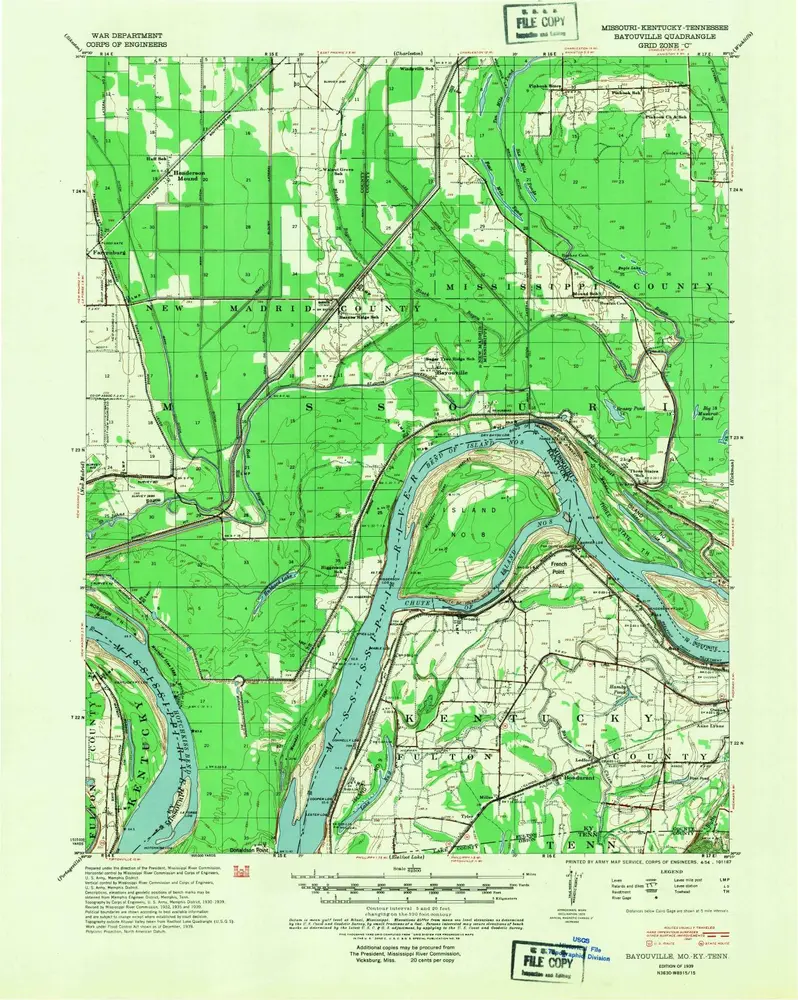
Bayouville
1939
1:63k
Bayouville
1939
1:63k
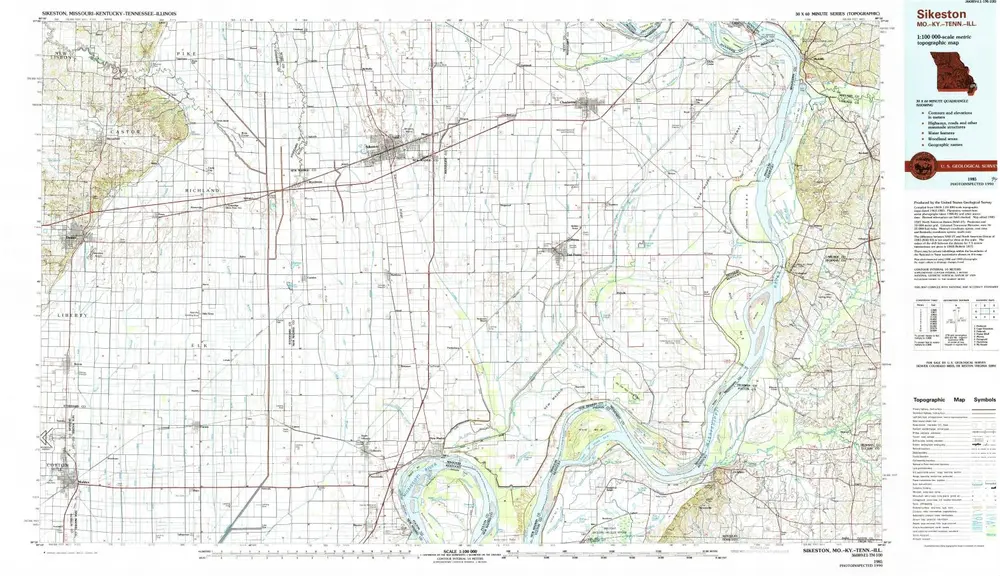
Sikeston
1985
1:100k
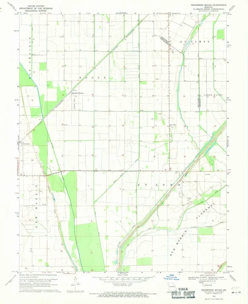
Henderson Mound
1969
1:24k
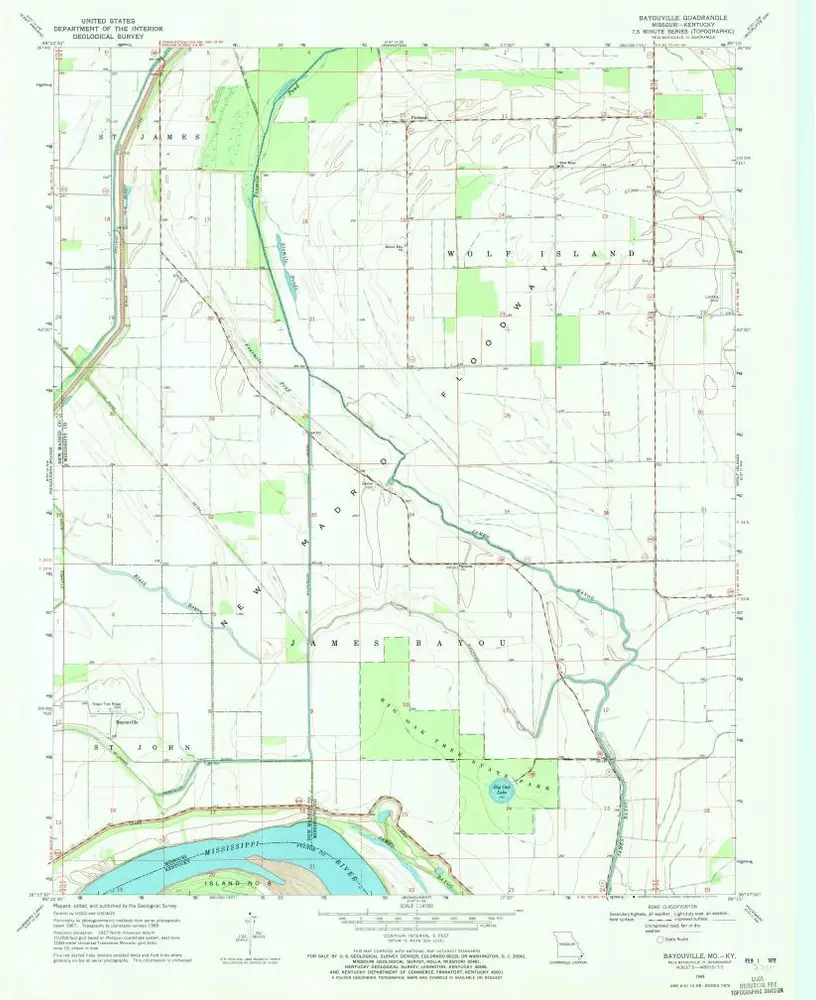
Bayouville
1969
1:24k
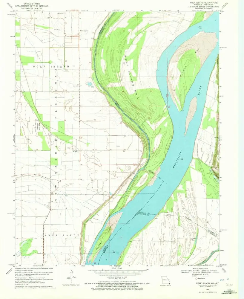
Wolf Island
1969
1:24k
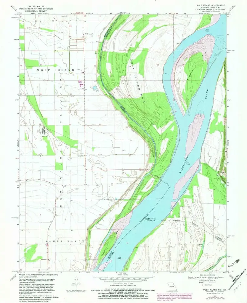
Wolf Island
1969
1:24k
Historia