Projet
Communauté
Actualités
Mon appli
Mes cartes
Cataloged map
Rudd Draw
Voir sur le site web externe
Voir numérisé
Institution:
United States Geological Survey
Full title:
Rudd Draw
Depicted:
1969
Pubdate:
1981
Map scale:
1:24 000
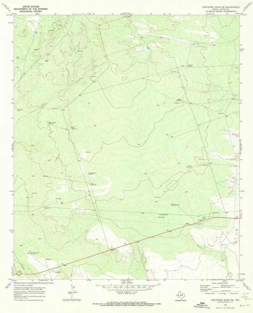
Cheyenne Draw SW
1969
1:24k
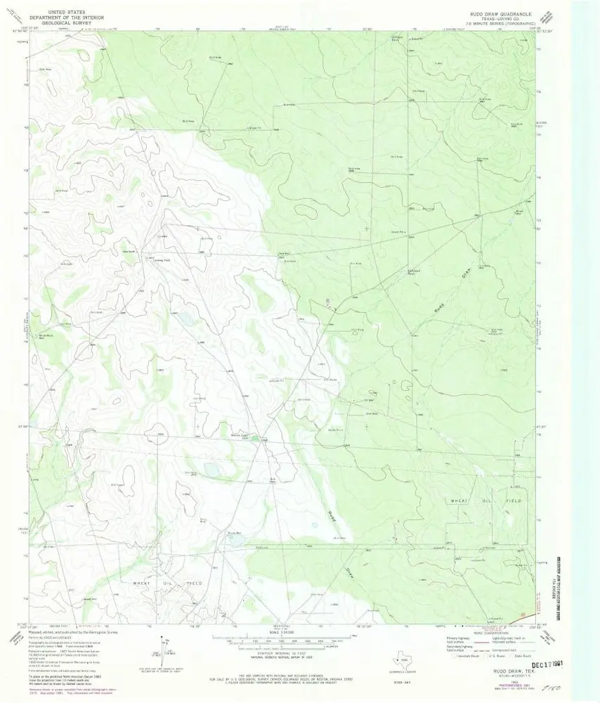
Rudd Draw
1969
1:24k
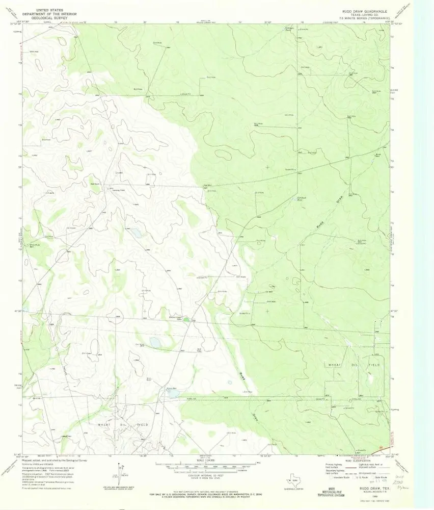
Rudd Draw
1969
1:24k
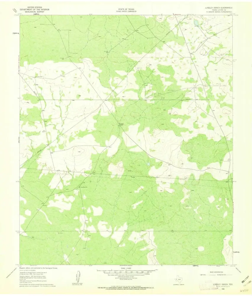
Lindley Ranch
1961
1:24k
Lindley Ranch
1961
1:24k
Soda Lake NW
1967
1:24k
Soda Lake NW
1967
1:24k
Soda Lake NW
1967
1:24k
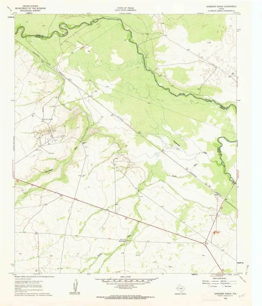
Anderson Ranch
1961
1:24k
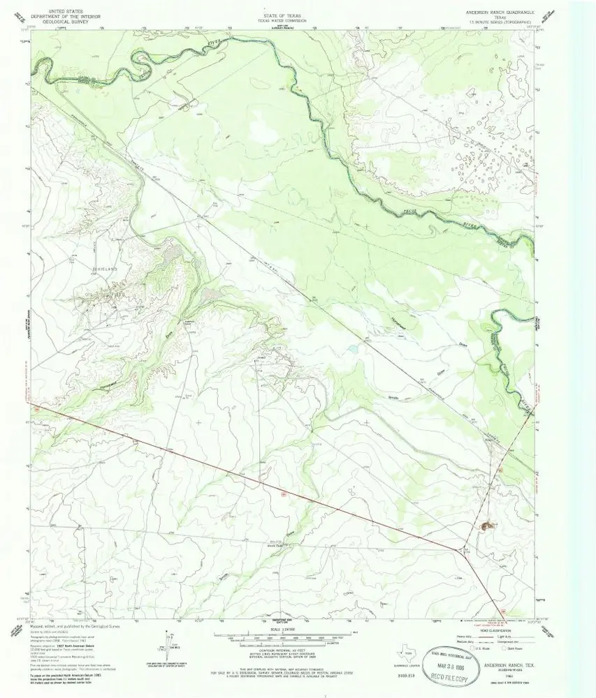
Anderson Ranch
1961
1:24k
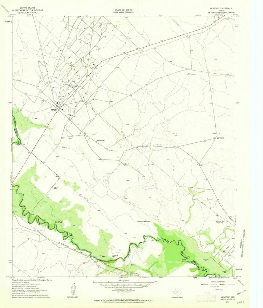
Mentone
1961
1:24k
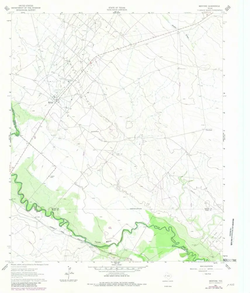
Mentone
1961
1:24k
History