Projet
Communauté
Actualités
Mon appli
Mes cartes
Katalogisierte Karte
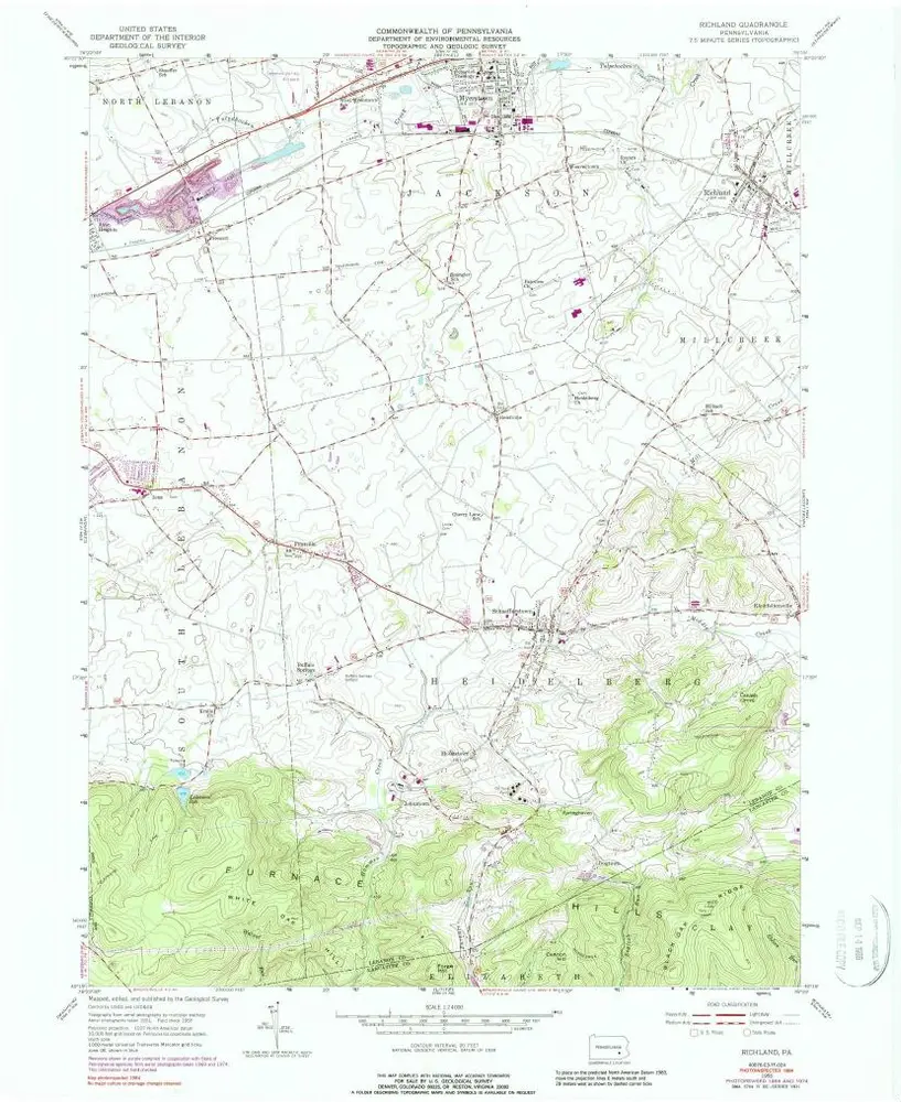
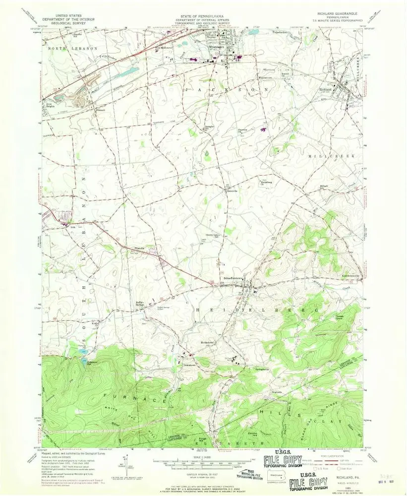
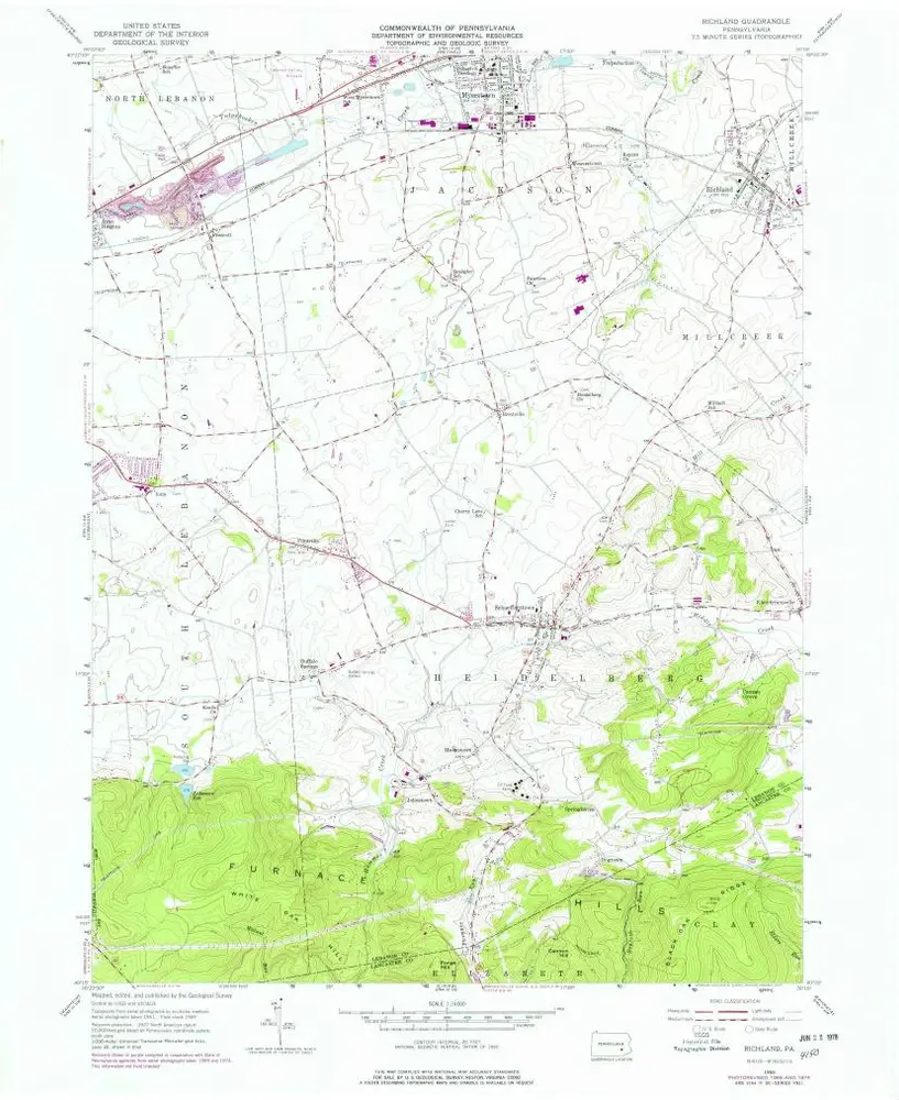
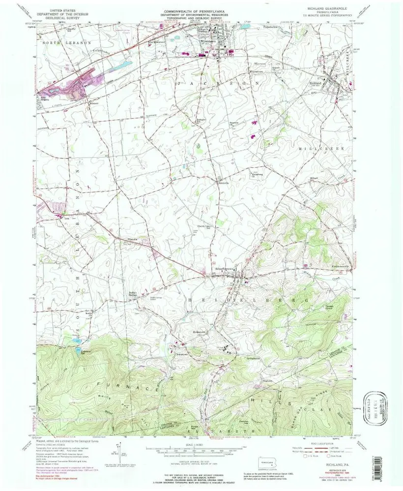
Richland
Voir sur le site web externe
Voir numérisé
Einrichtung:
United States Geological Survey
Vollständiger Titel:
Richland
Jahr der Abbildung:
1955
Veröffentlichungsdatum:
1988
Maßstab der Karte:
1:24 000
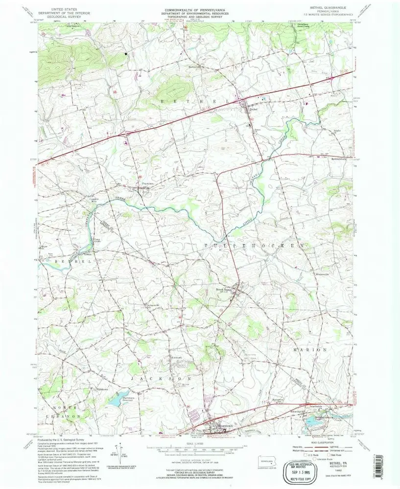
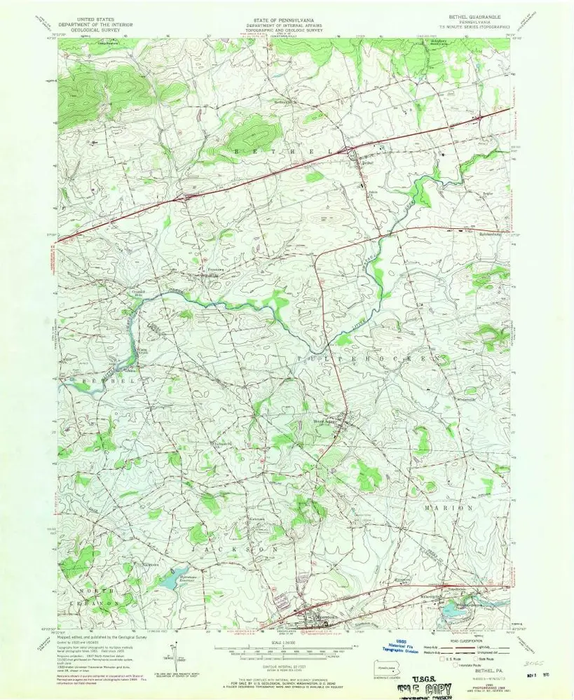
Bethel
1992
1:24k
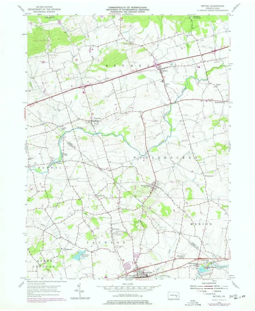
Bethel
1955
1:24k
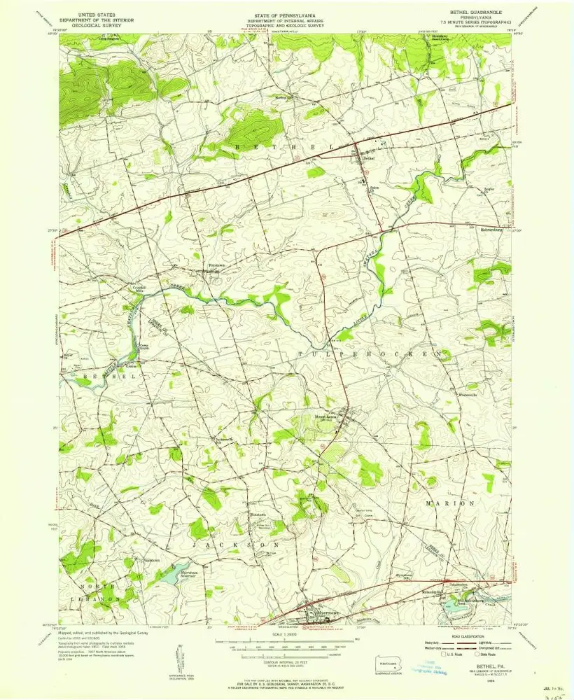
Bethel
1955
1:24k
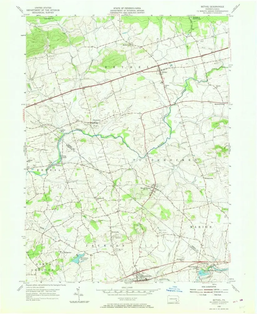
Bethel
1955
1:24k
Bethel
1955
1:24k
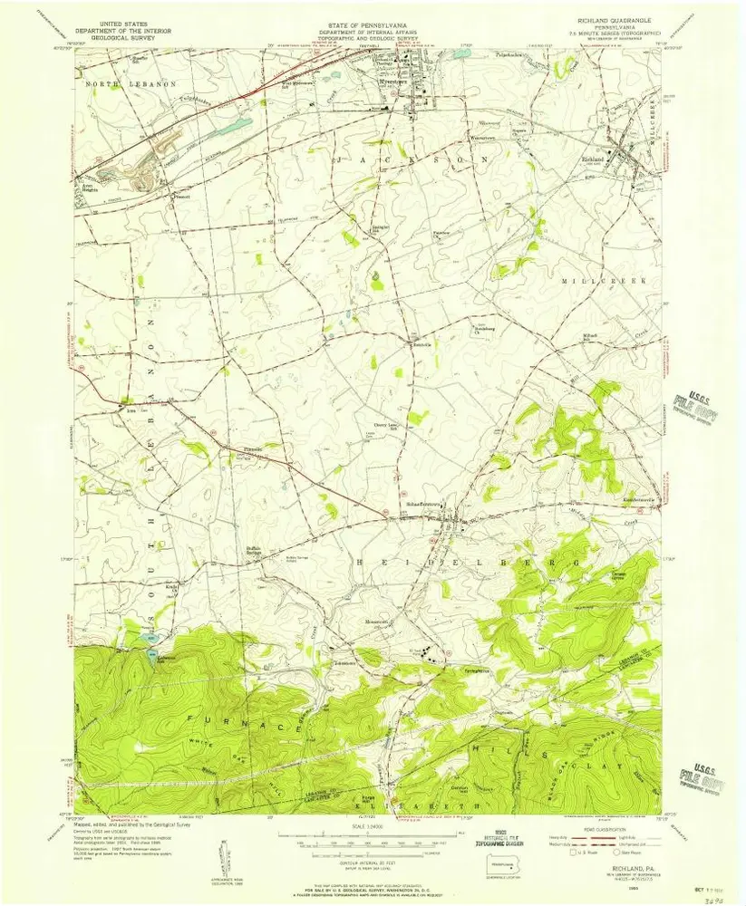
Richland
1955
1:24k
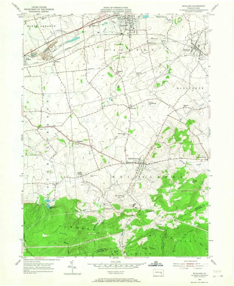
Richland
1955
1:24k
Richland
1955
1:24k
Richland
1955
1:24k
Richland
1955
1:24k
Richland
1955
1:24k
Geschichte