Projet
Communauté
Actualités
Mon appli
Mes cartes
Katalogisierte Karte
Stewart Valley
Voir sur le site web externe
Voir numérisé
Einrichtung:
United States Geological Survey
Vollständiger Titel:
Stewart Valley
Jahr der Abbildung:
1958
Veröffentlichungsdatum:
1964
Maßstab der Karte:
1:62 500
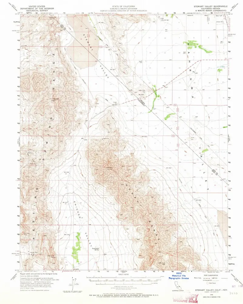
Stewart Valley
1958
1:63k
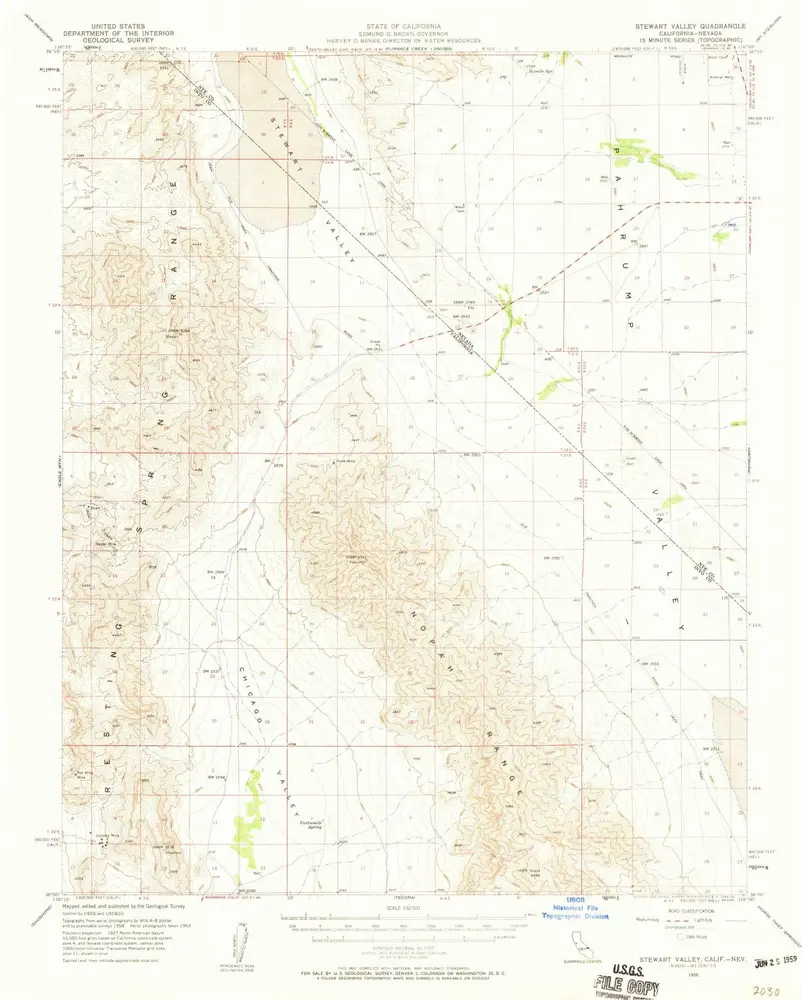
Stewart Valley
1958
1:63k
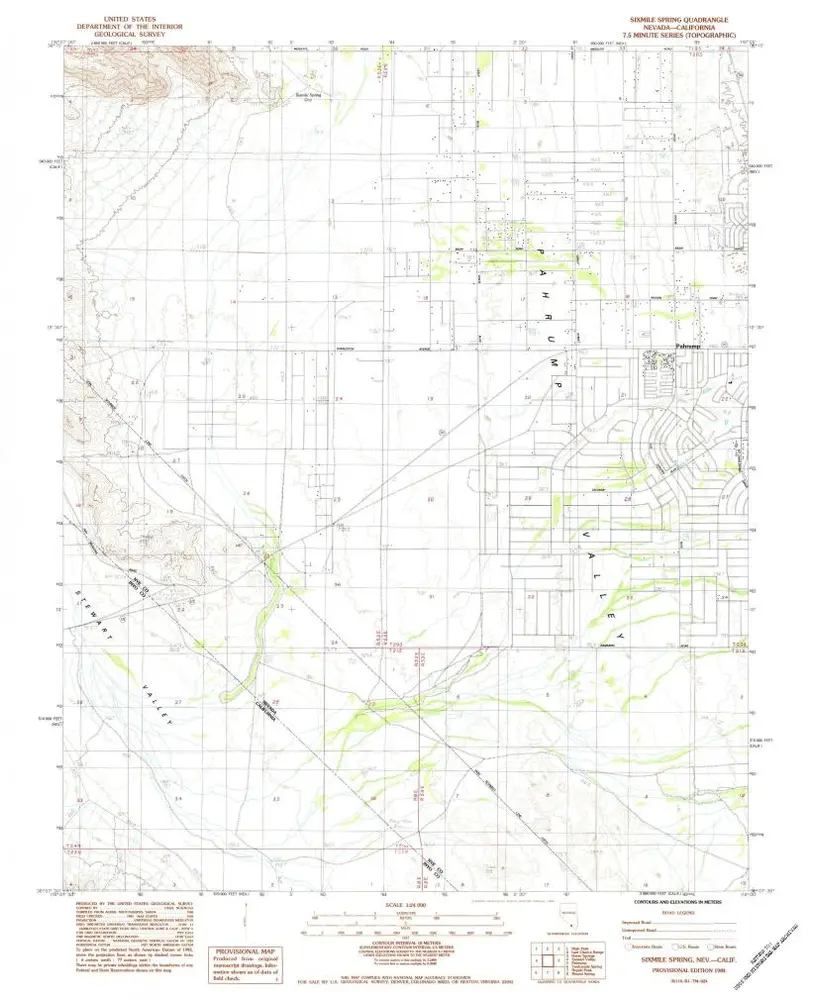
Sixmile Spring
1984
1:24k
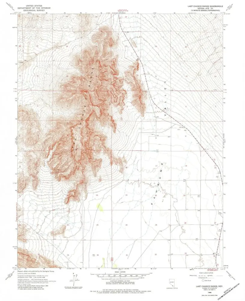
Last Chance Range
1968
1:24k
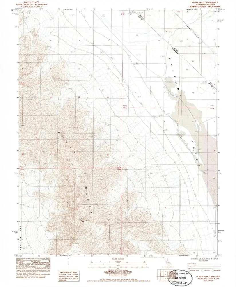
Nopah Peak
1984
1:24k
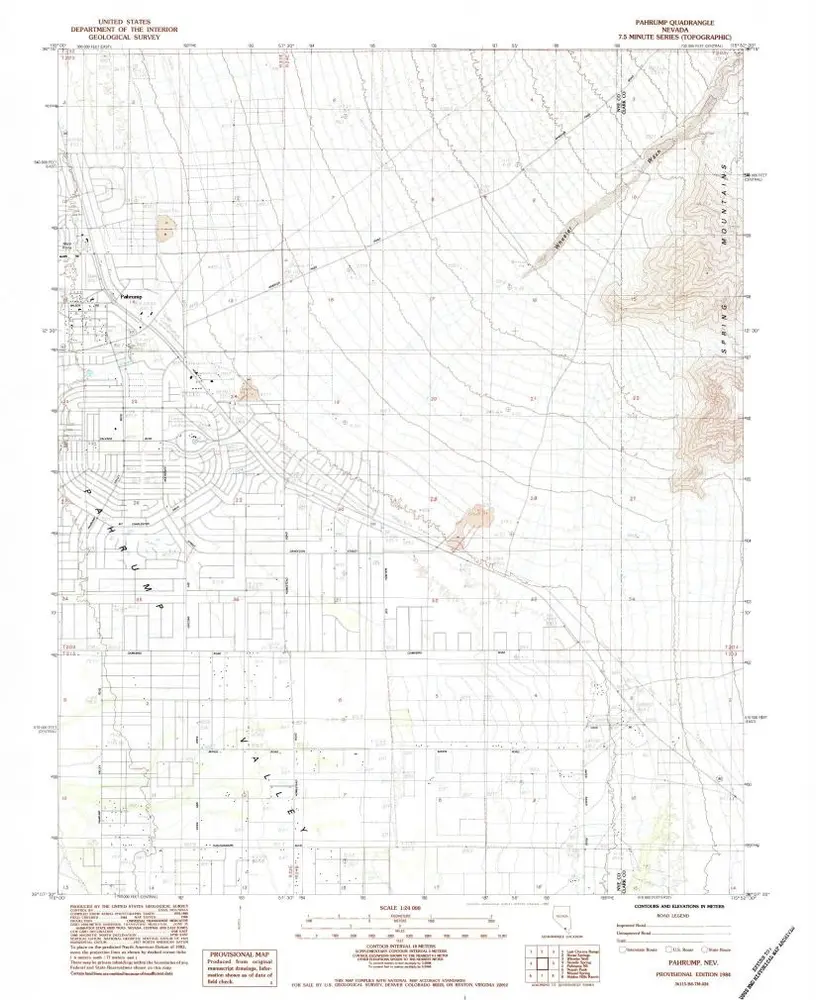
Pahrump
1984
1:24k
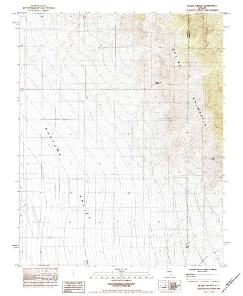
Horse Springs
1984
1:24k
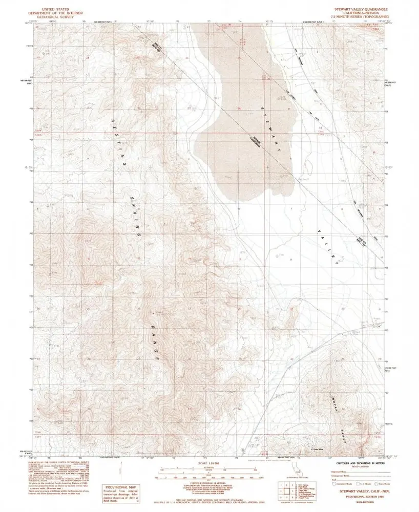
Stewart Valley
1984
1:24k
High Peak
1968
1:24k
High Peak
1968
1:24k
Geschichte