Cataloged map
Prince Rupert

Institution:United States Geological Survey
Full title:Prince Rupert
Depicted:1951
Pubdate:1952
Map scale:1:250 000
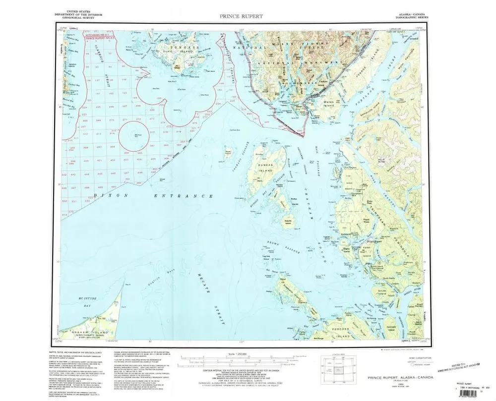
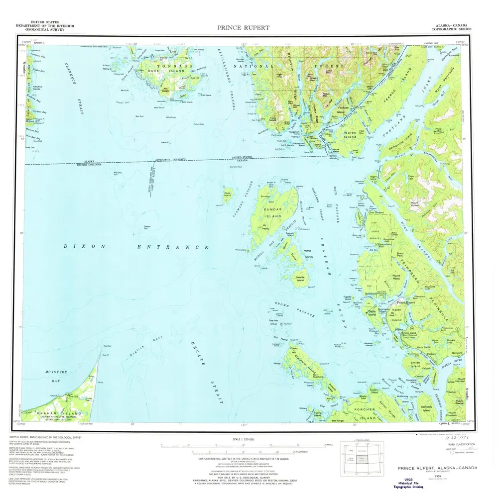
Prince Rupert
1959
1:250k
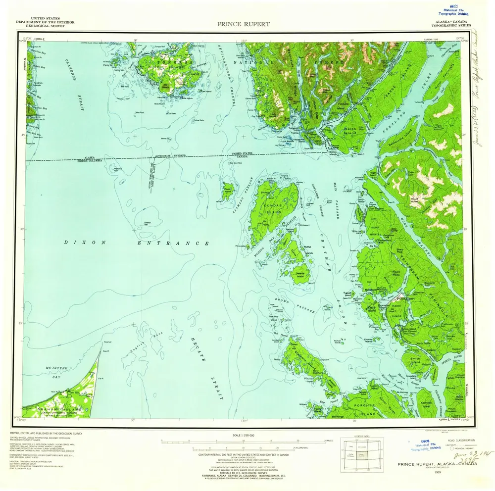
Prince Rupert
1959
1:250k
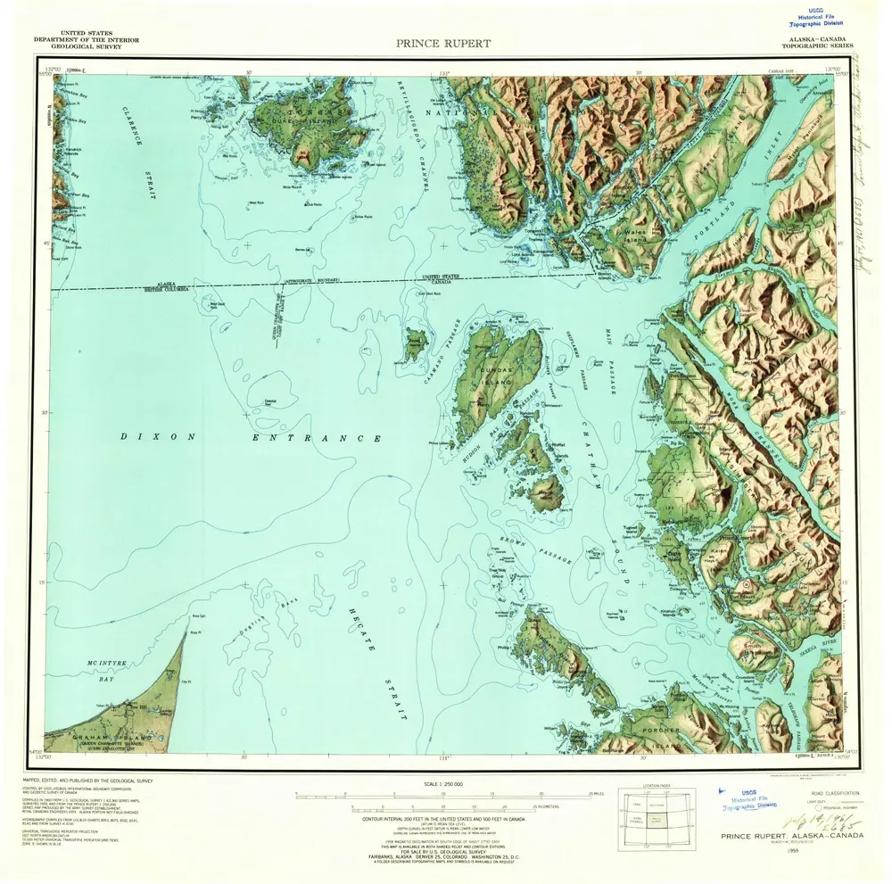
Prince Rupert
1959
1:250k
Prince Rupert
1959
1:250k
Prince Rupert
1959
1:250k
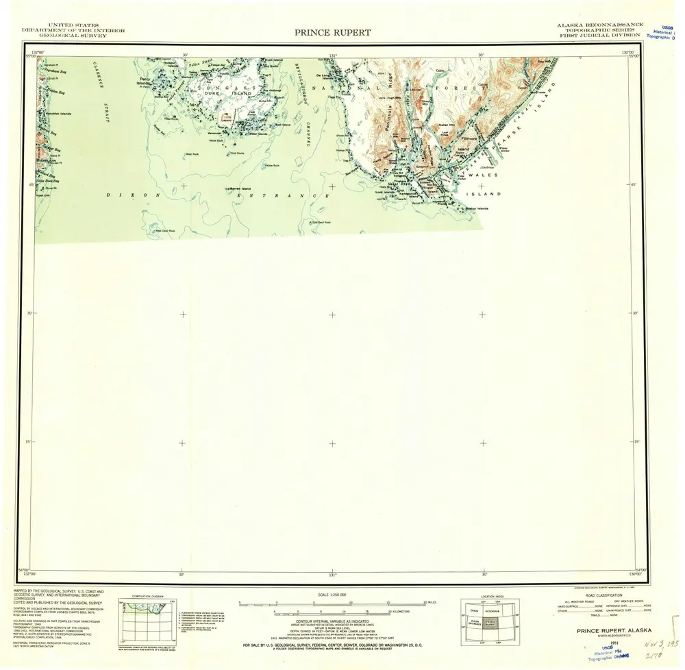
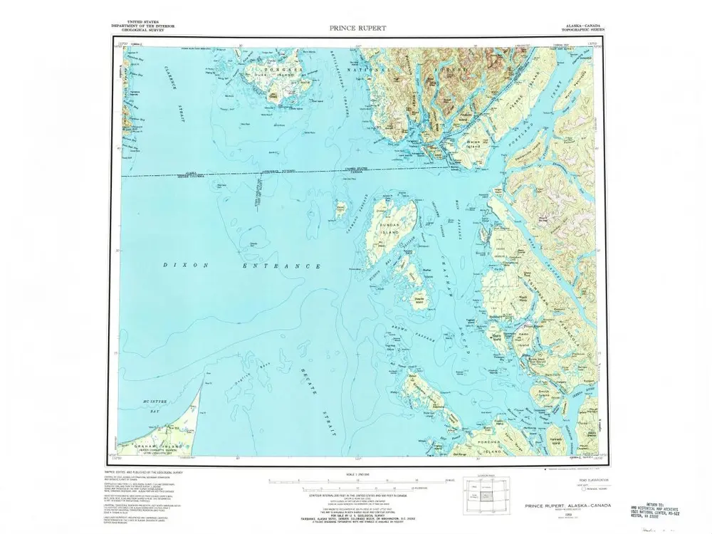
Prince Rupert
1951
1:250k
Ethnographische Karte des südöstlichen Alaska
1908
Krause, Aurel
1:2m
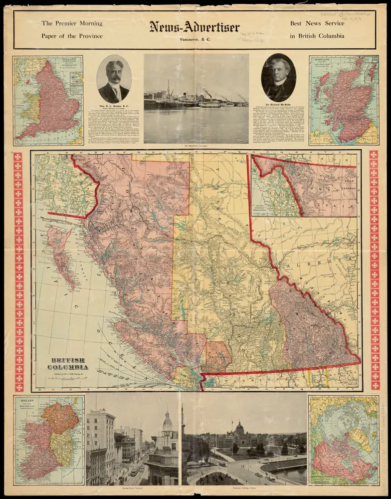
British Columbia
1913
1:2m
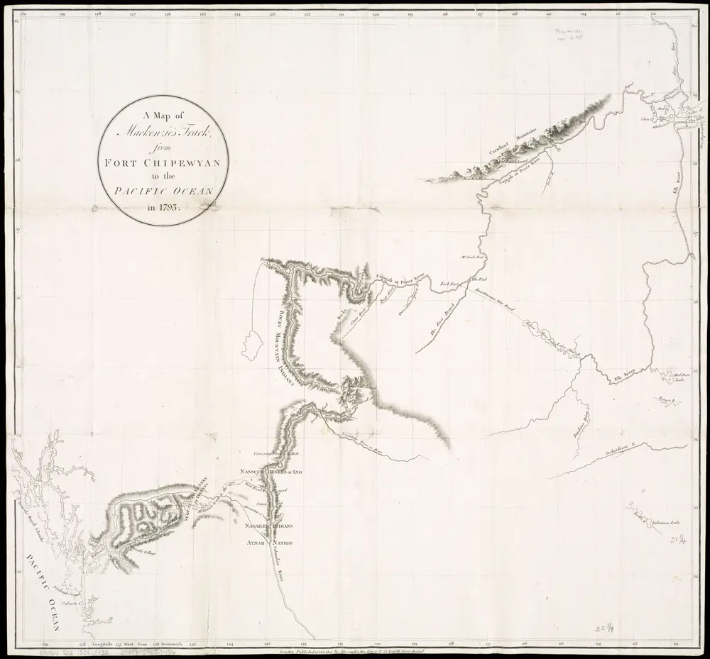
A map of Mackenzie's track from Fort Chipewyan to the Pacific Ocean in 1793
1801
1:2m
Sectional map indicating main automobile roads between Canada and United States
1931
National Development Bureau
1:3m