Gecatalogiseerde kaart
Map of the town of Rochester, Plymouth County, Massachusetts : surveyed by order of the town
Volledige titel:Map of the town of Rochester, Plymouth County, Massachusetts : surveyed by order of the town
Jaar illustratie:1856
Pubdatum:1856
Uitgever:Lith. of F. Mayer & Co.
Schaal kaart:1:24 170
Map of the town of Rochester, Plymouth County, Massachusetts : surveyed by order of the town
1856
Walling, Henry Francis, 1825-1888
1:24k
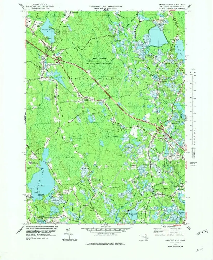
Snipatuit Pond
1977
1:25k
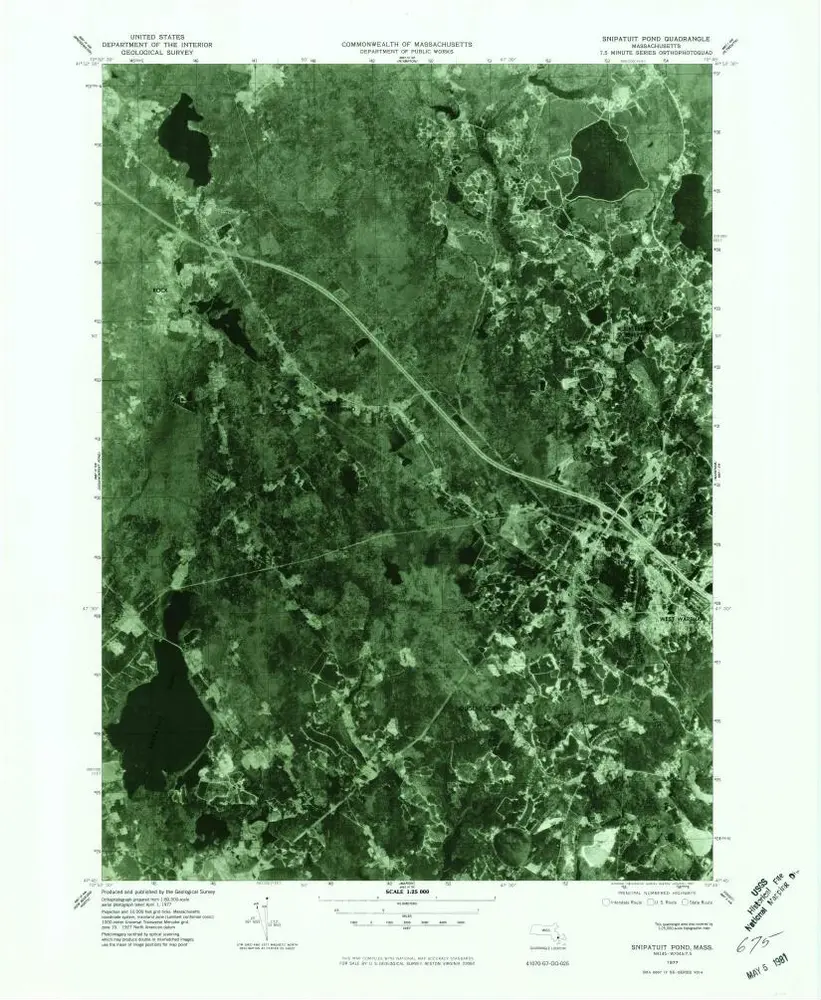
Snipatuit Pond
1977
1:25k
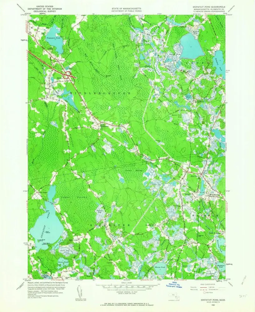
Snipatuit Pond
1962
1:24k
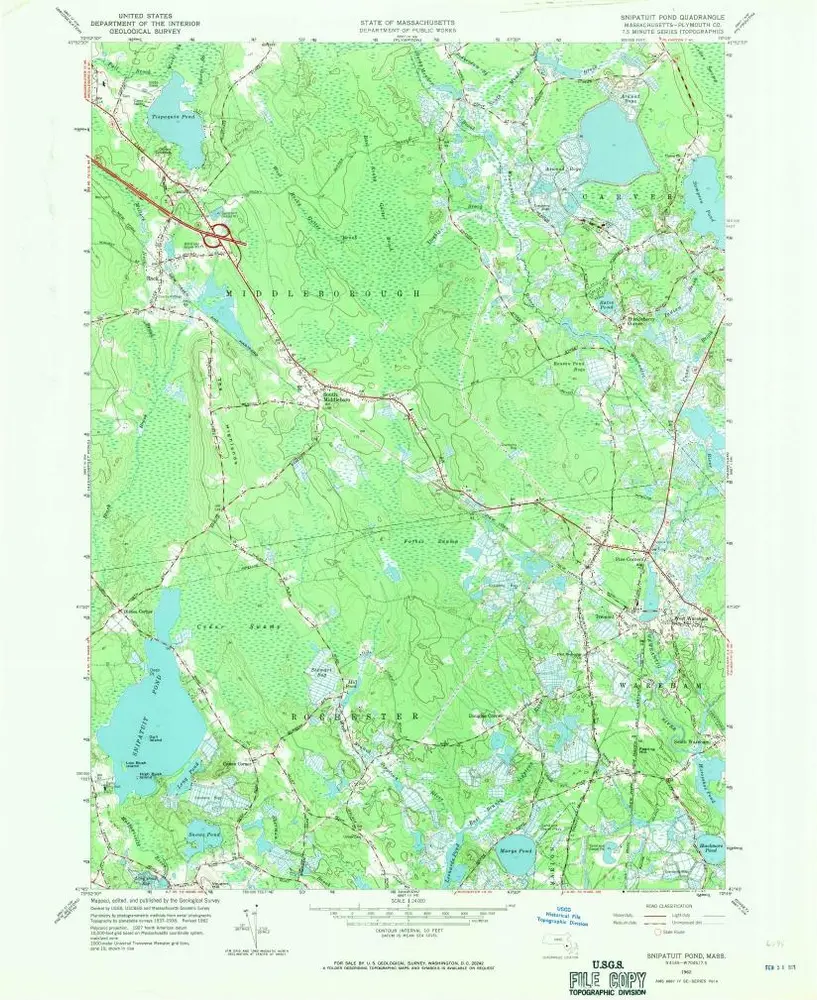
Snipatuit Pond
1962
1:24k
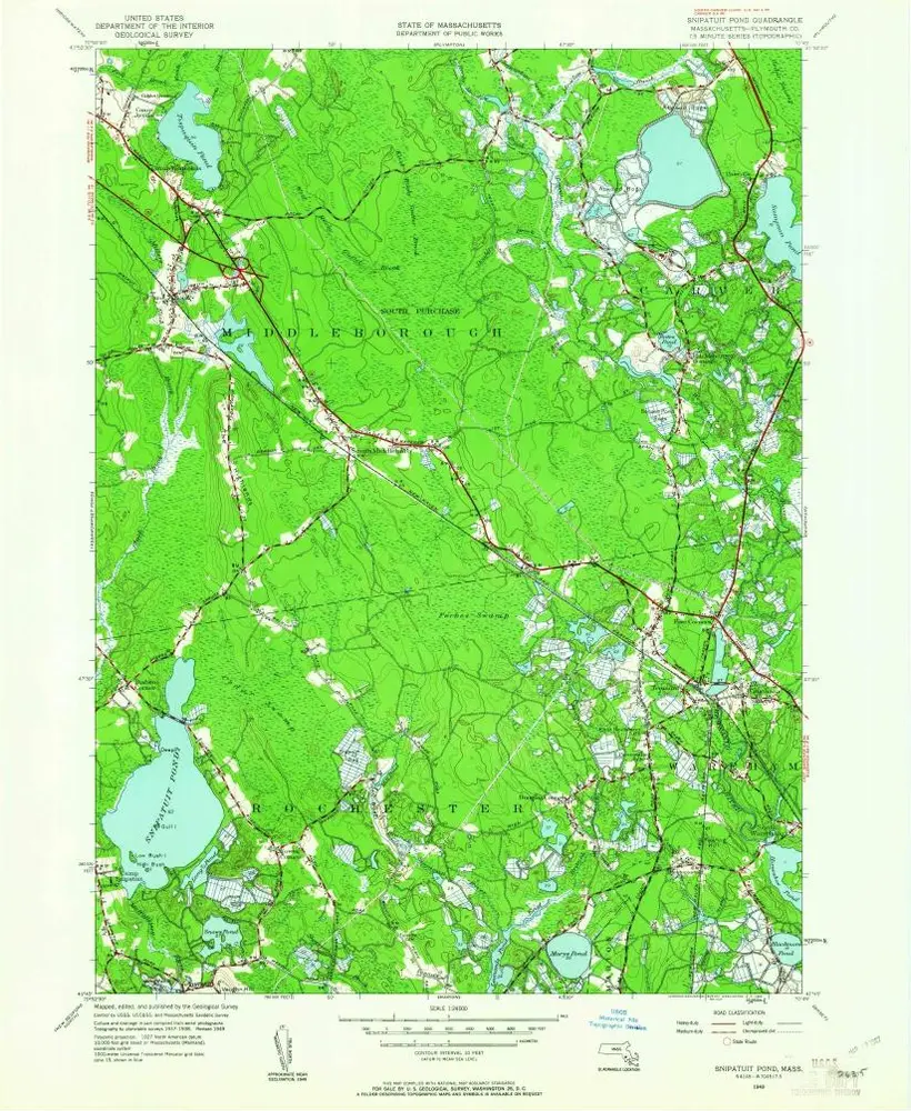
Snipatuit Pond
1949
1:24k
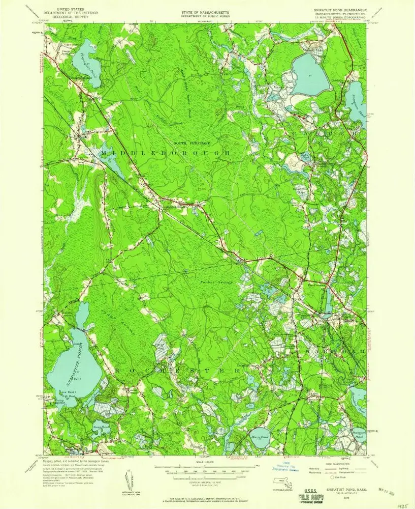
Snipatuit Pond
1949
1:24k
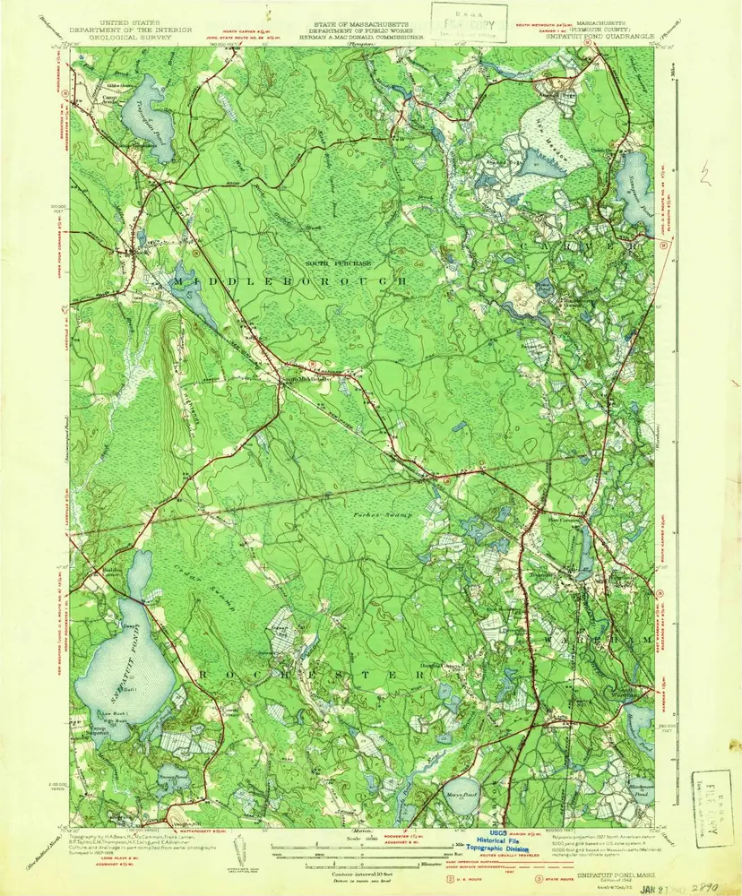
Snipatuit Pond
1942
1:32k
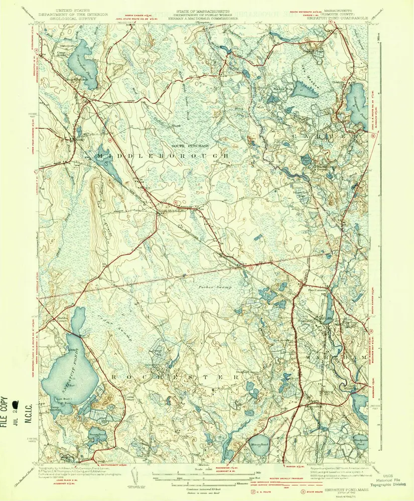
Snipatuit Pond
1942
1:32k
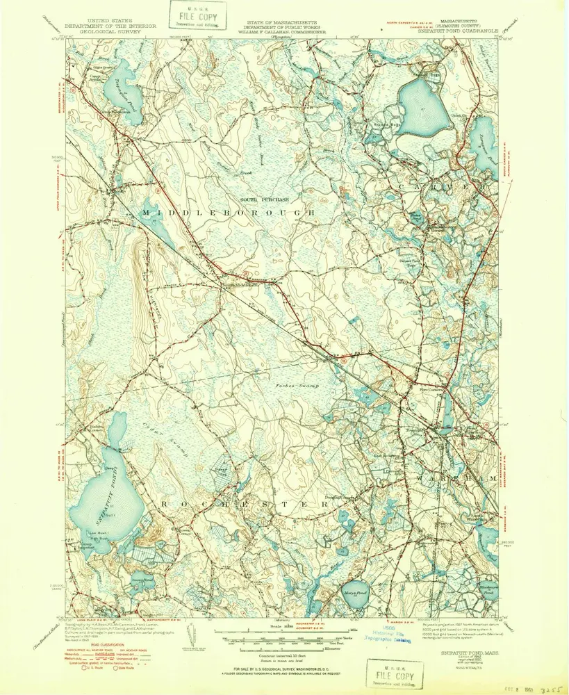
Snipatuit Pond
1942
1:32k
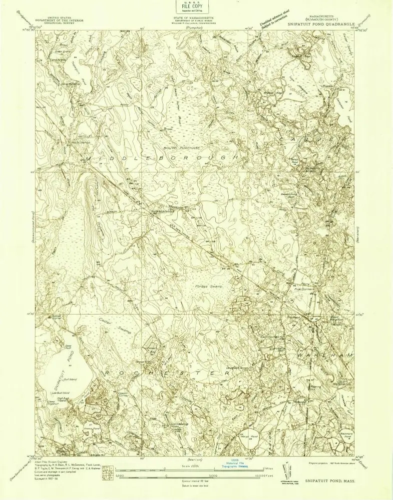
Snipatuit Pond
1938
1:24k


