Carte cataloguée
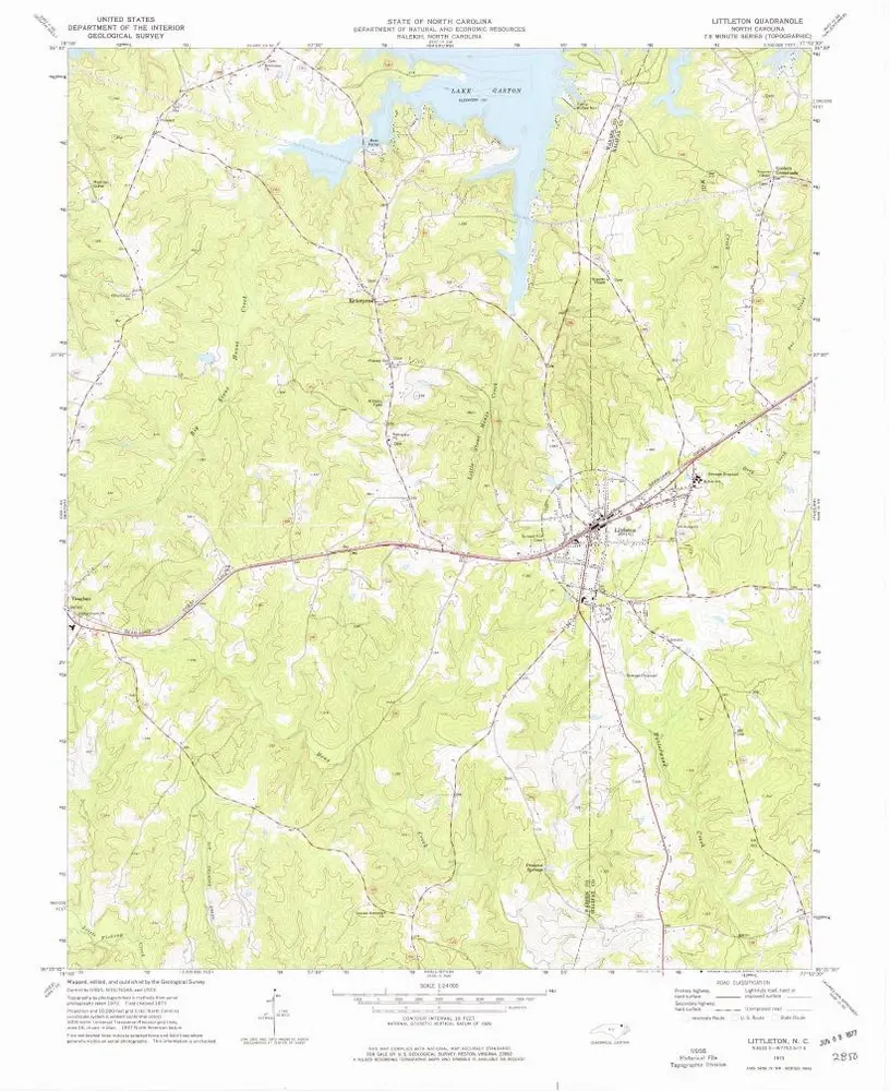
Littleton

Institution:United States Geological Survey
Titre complet:Littleton
Année de l'image:1973
Date de publication:1977
Échelle de la carte:1:24 000
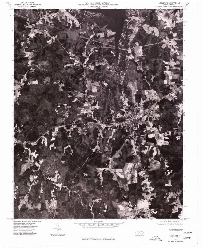
Littleton
1977
1:24k
Littleton
1973
1:24k
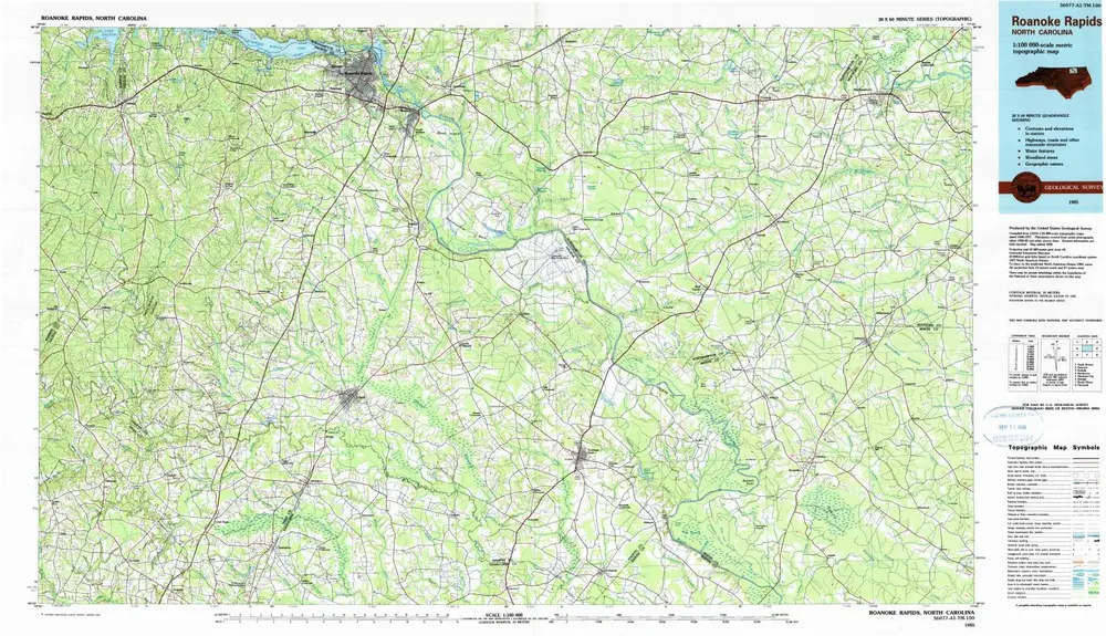
Roanoke Rapids
1985
1:100k
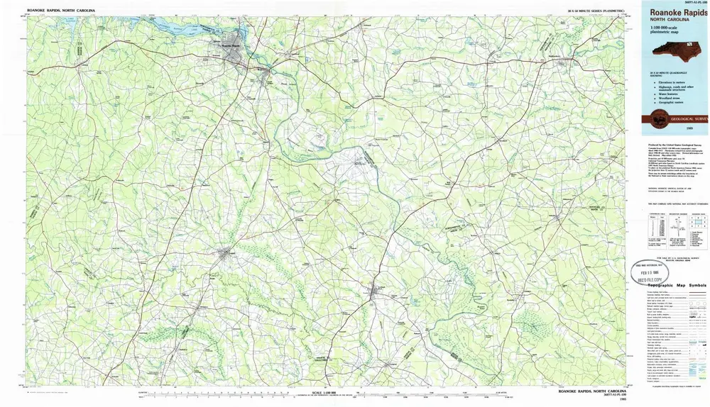
Roanoke Rapids
1985
1:100k
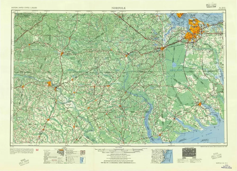
Norfolk
1953
1:250k
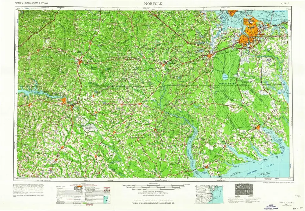
Norfolk
1953
1:250k
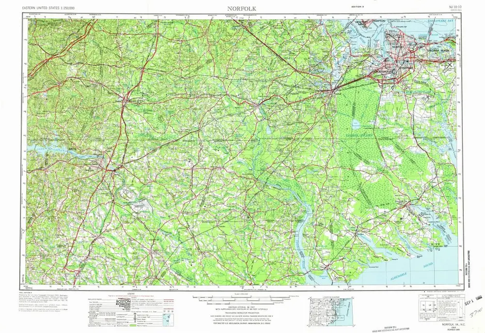
Norfolk
1953
1:250k
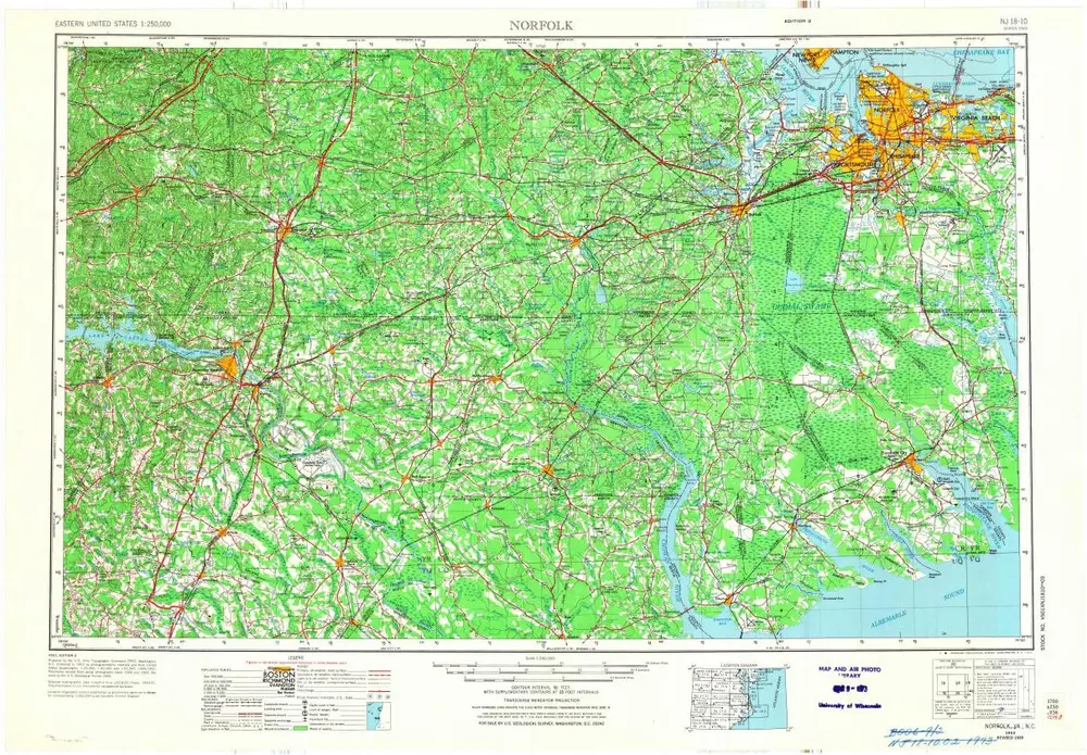
Norfolk
1953
1:250k
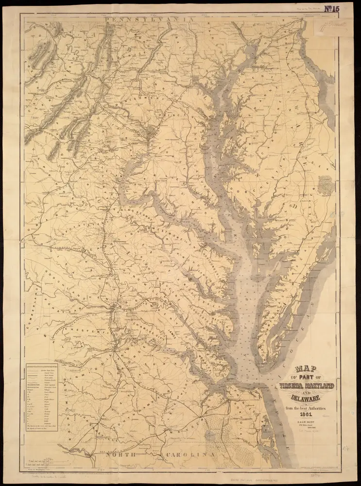
Map of part of Virginia, Maryland and Delaware from the best authorities
1861
Heyne, Charles
1:400k
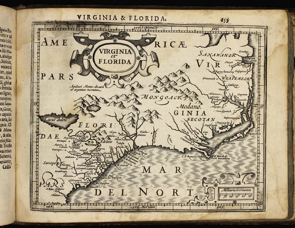
Atlas minor, mapa ze strany: 655
1610
Mercator Gerhard