Skatalogowana mapa
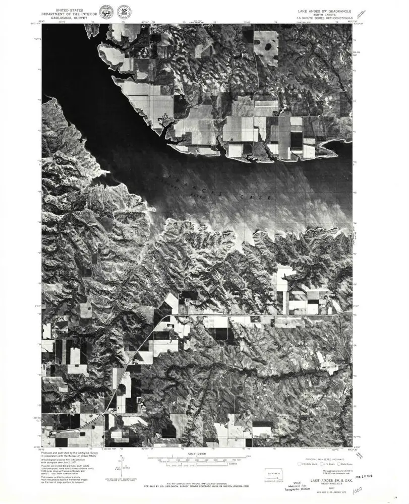
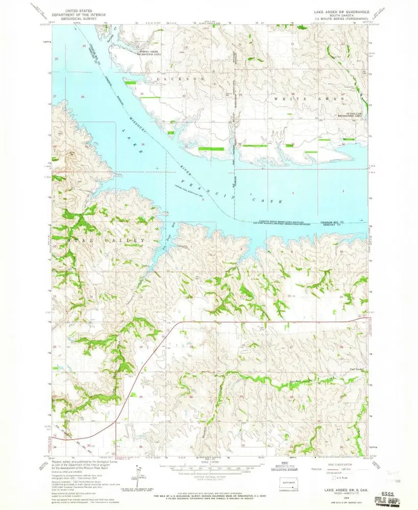
Lake Andes SW

Instytucja:United States Geological Survey
Pełny tytuł:Lake Andes SW
Rok ilustracji:1977
Data publikacji:1979
Skala mapy:1:24 000
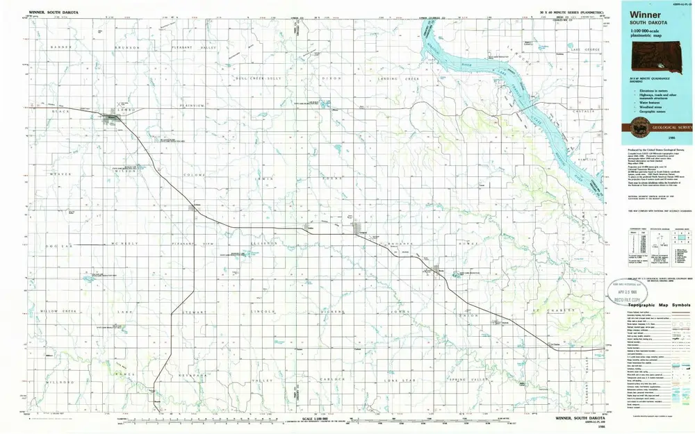
Winner
1986
1:100k
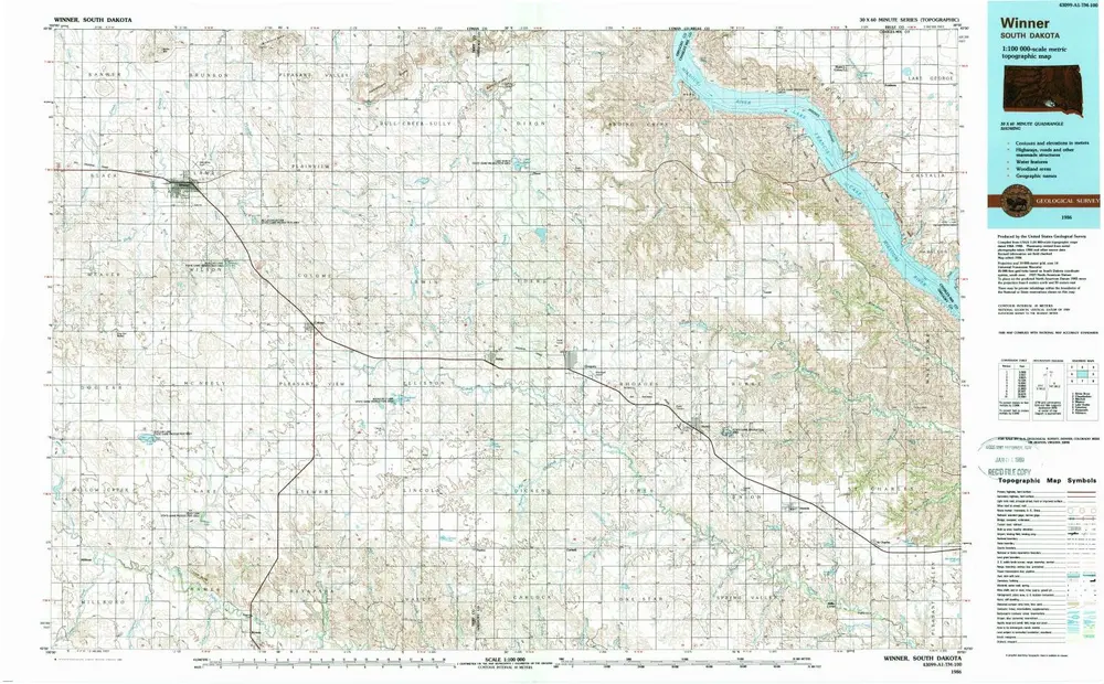
Winner
1986
1:100k
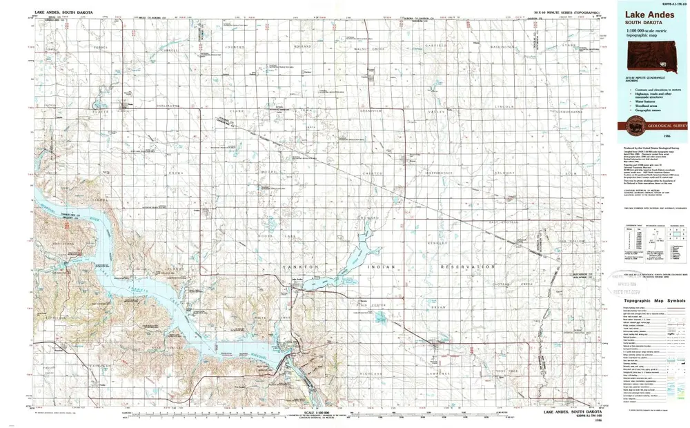
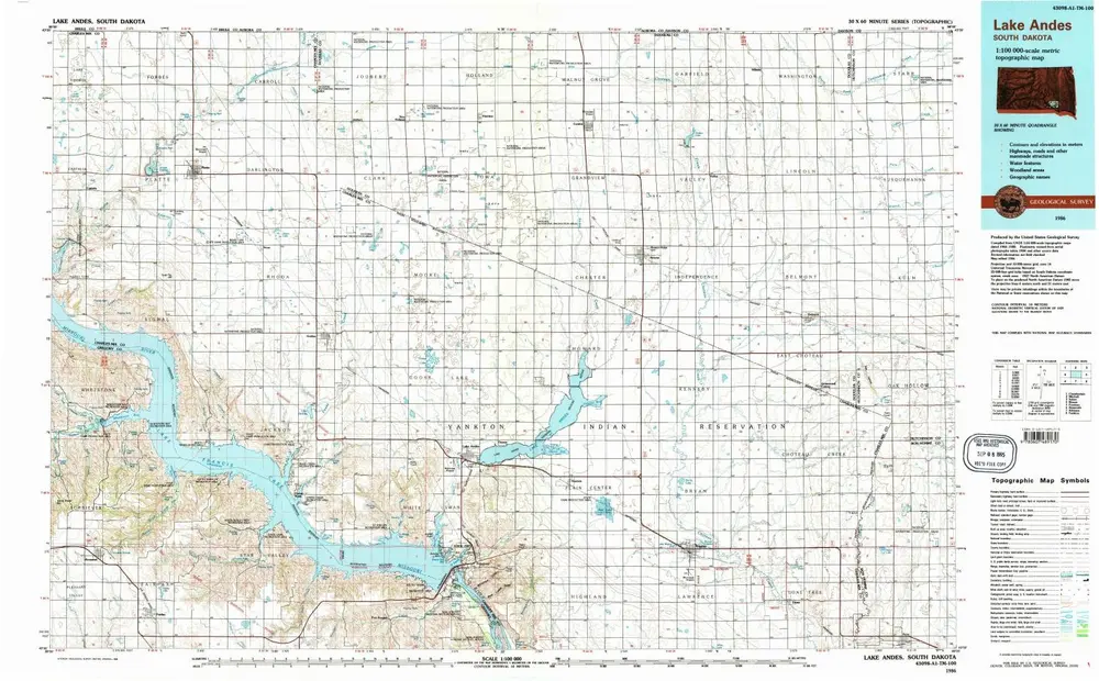
Lake Andes
1986
1:100k
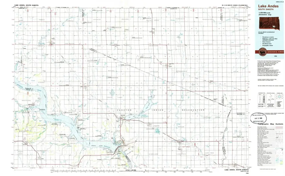
Lake Andes
1986
1:100k
Lake Andes
1986
1:100k
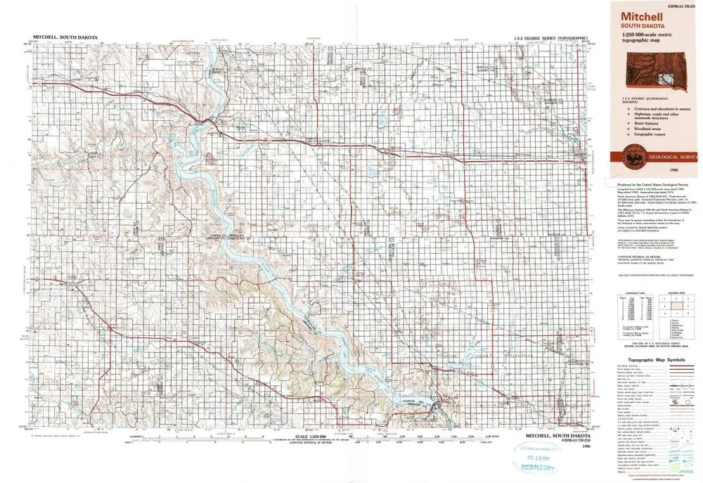
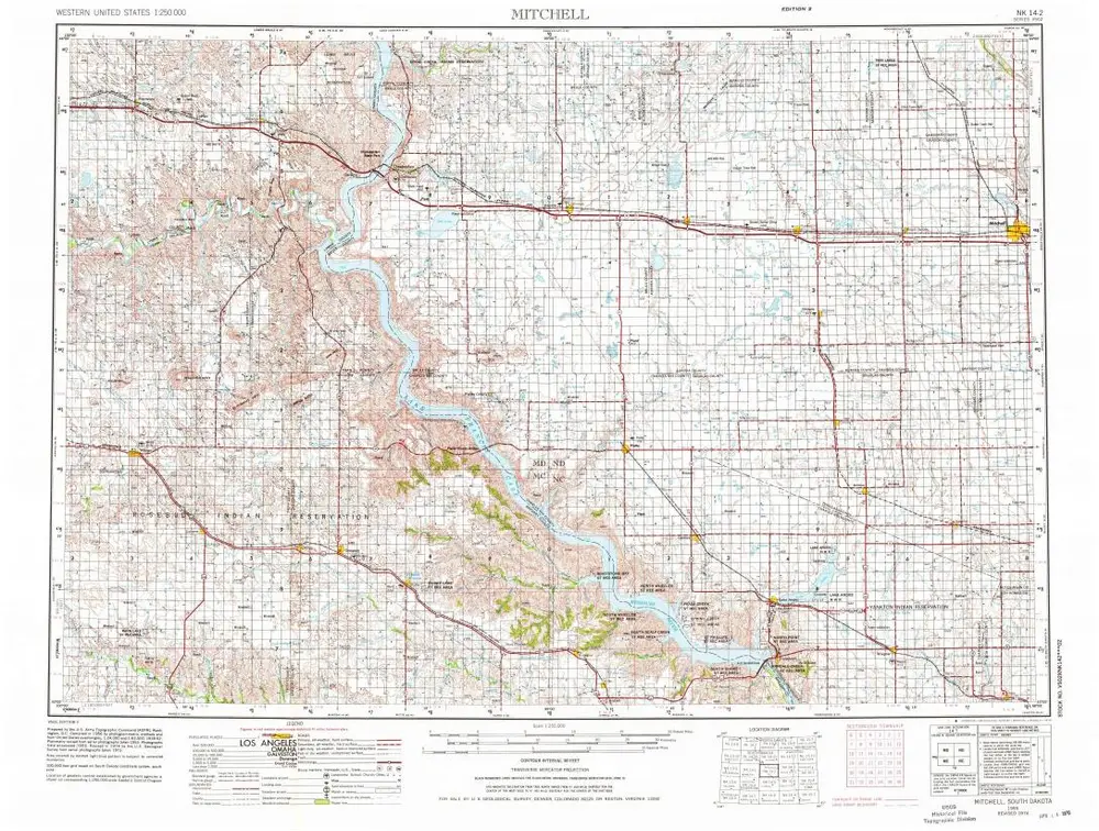
Mitchell
1990
1:250k
Mitchell
1959
1:250k
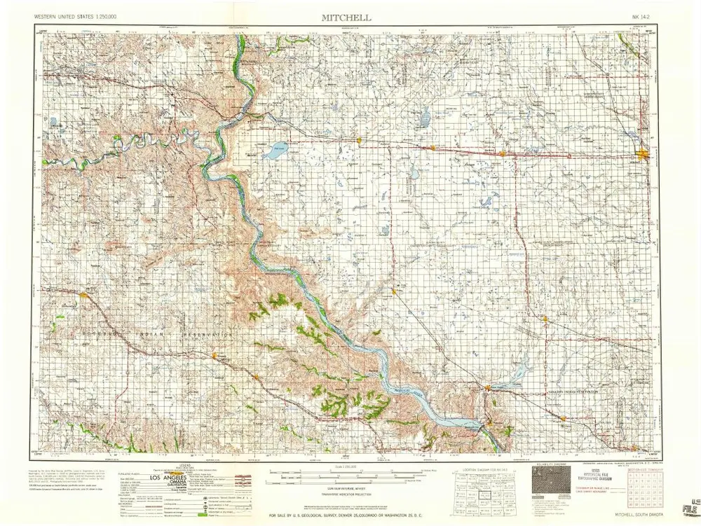
Mitchell
1955
1:250k
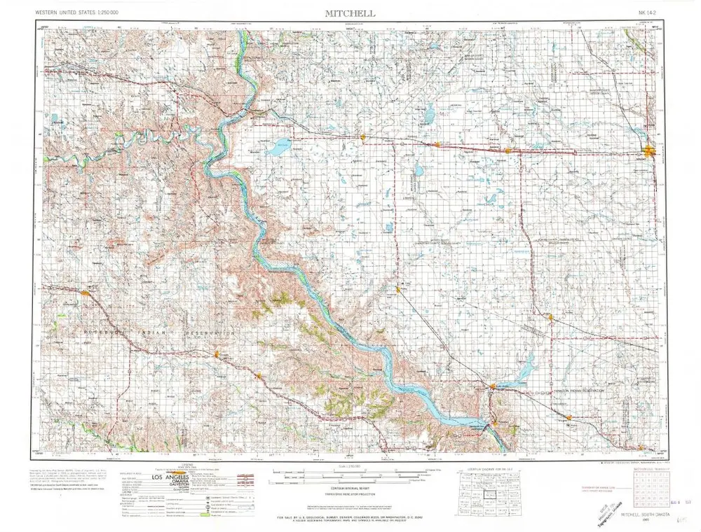
Mitchell
1955
1:250k
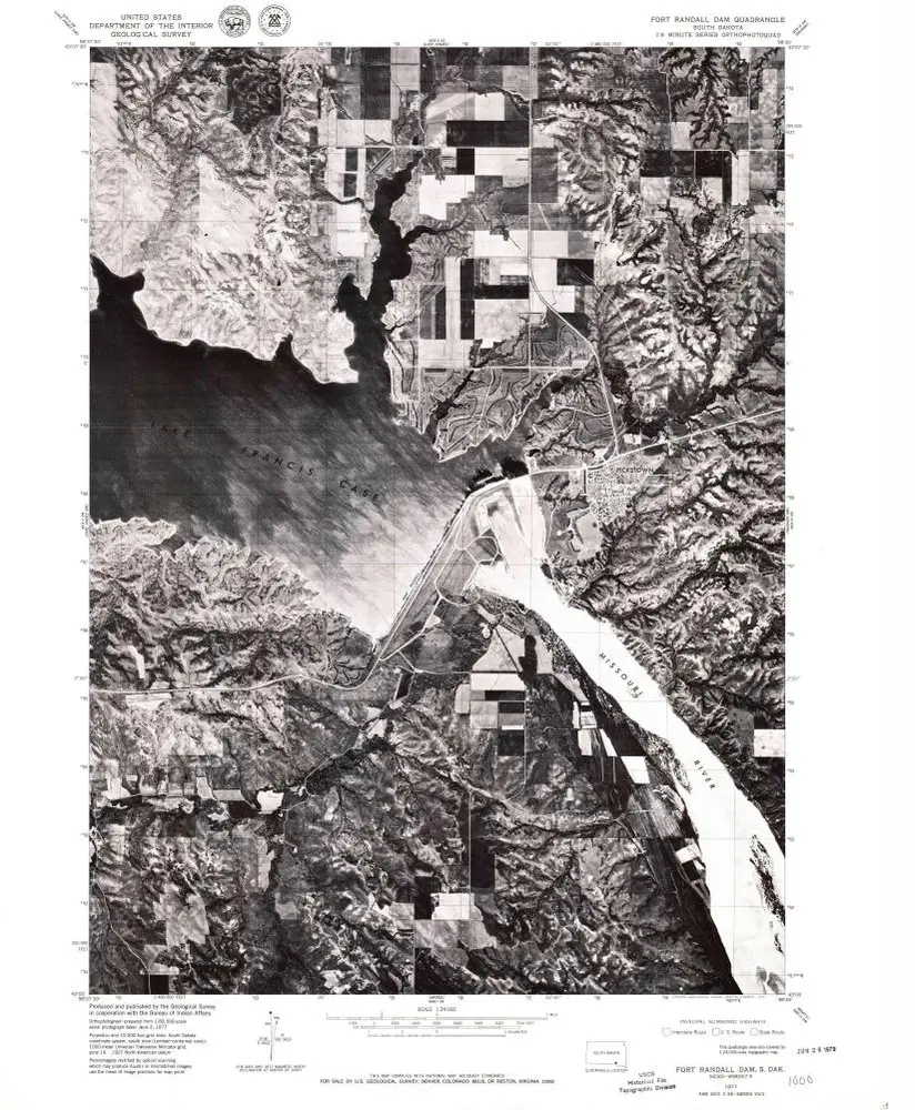
Fort Randall Dam
1977
1:24k
Lake Andes SW
1977
1:24k
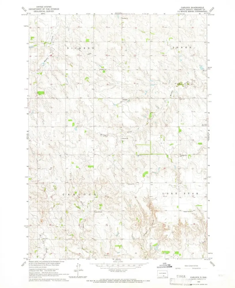
Carlock
1964
1:24k
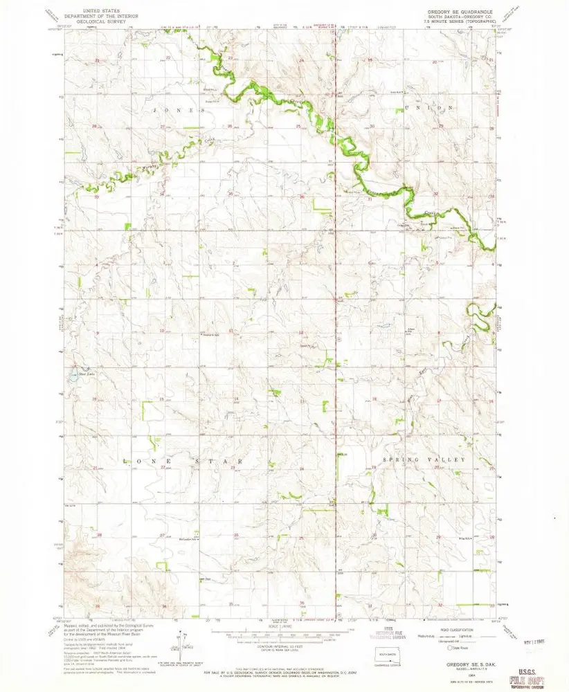
Gregory SE
1964
1:24k
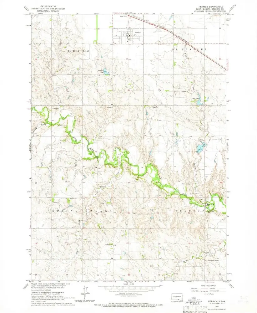
Herrick
1964
1:24k
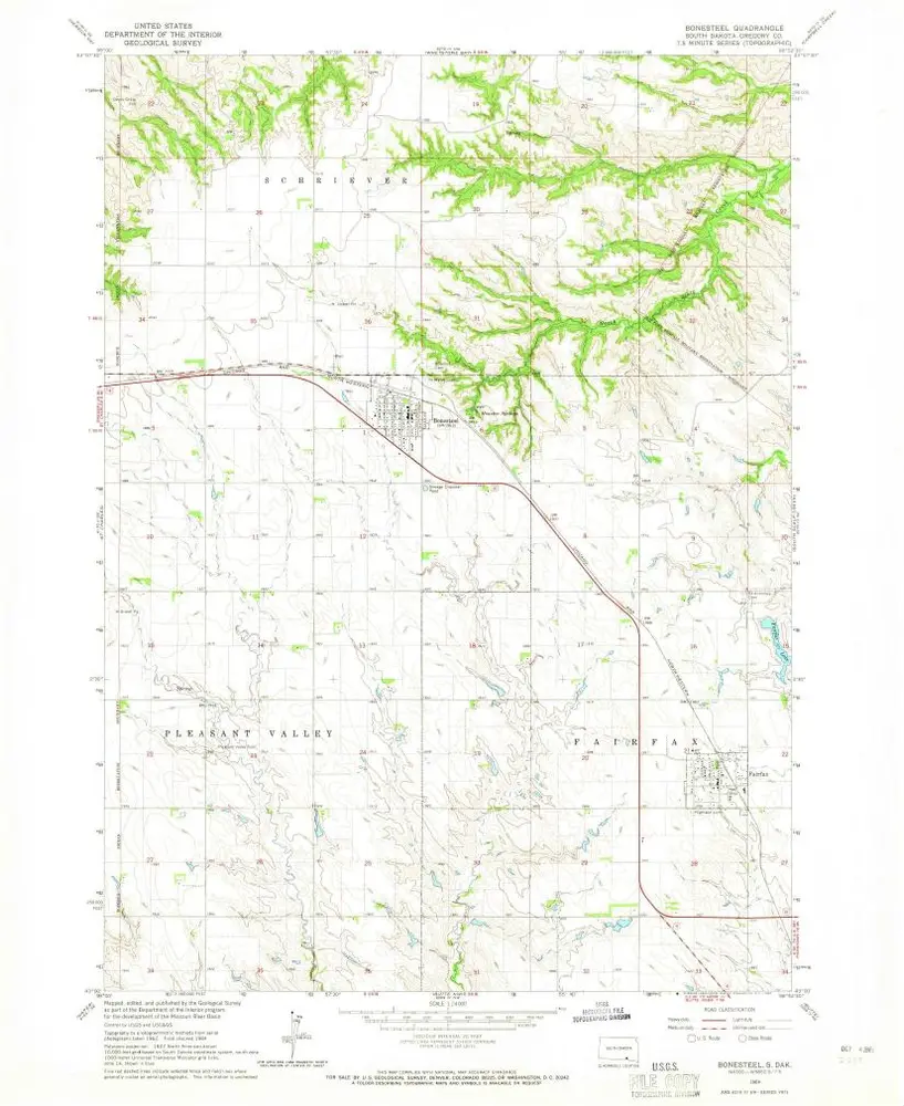
Bonesteel
1964
1:24k
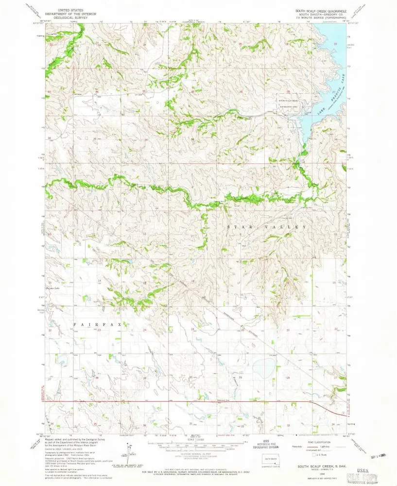
South Scalp Creek
1964
1:24k

Fort Randall Dam
1964
1:24k
Lake Andes SW
1964
1:24k