Projet
Communauté
Actualités
Mon appli
Mes cartes
Skatalogowana mapa
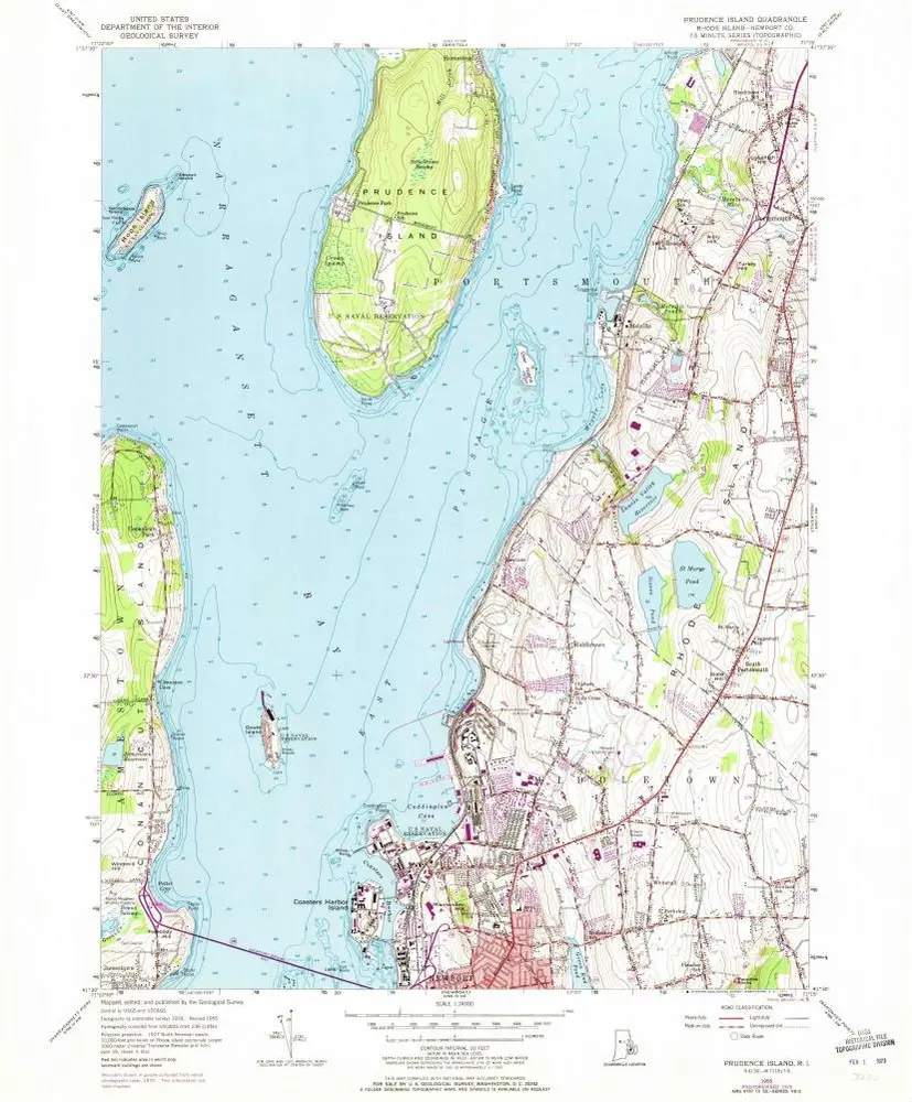
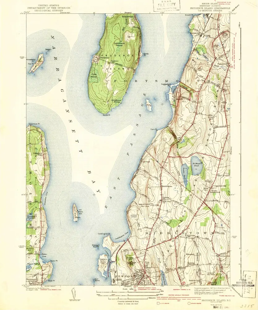
Prudence Island
Voir sur le site web externe
View digitized
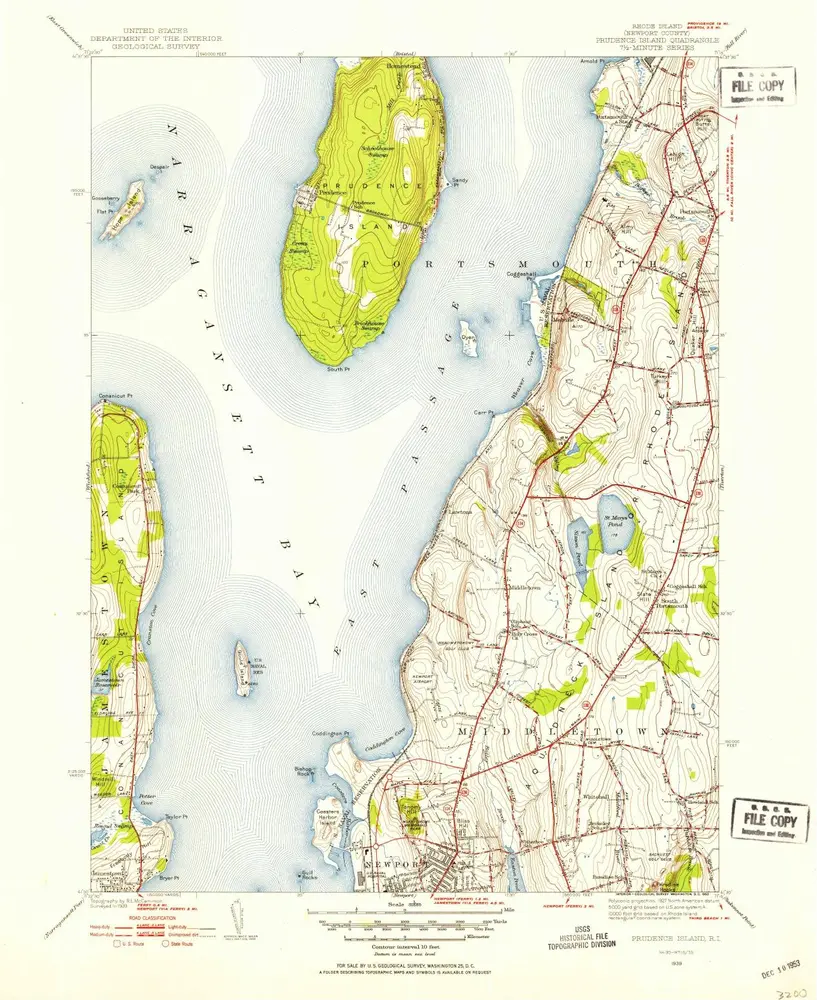
Instytucja:
United States Geological Survey
Pełny tytuł:
Prudence Island
Rok ilustracji:
1939
Data publikacji:
1953
Skala mapy:
1:31 680
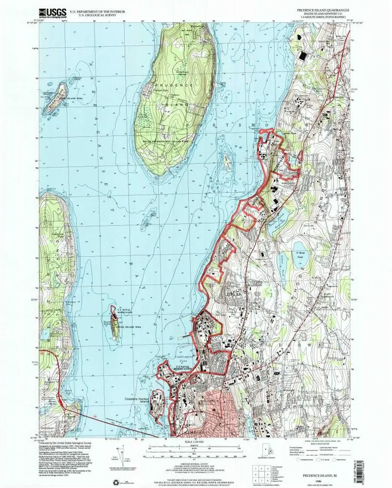
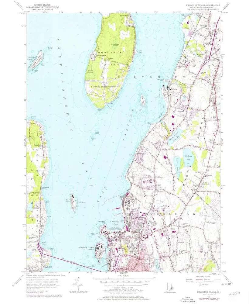
Prudence Island
1996
1:24k
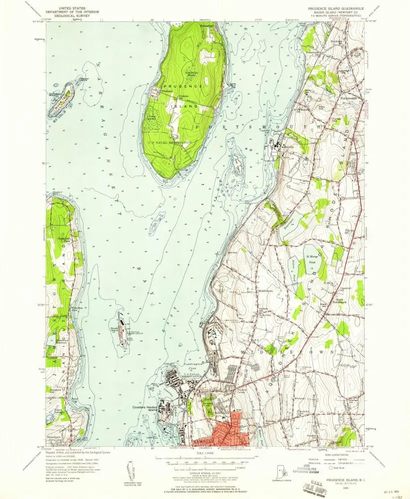
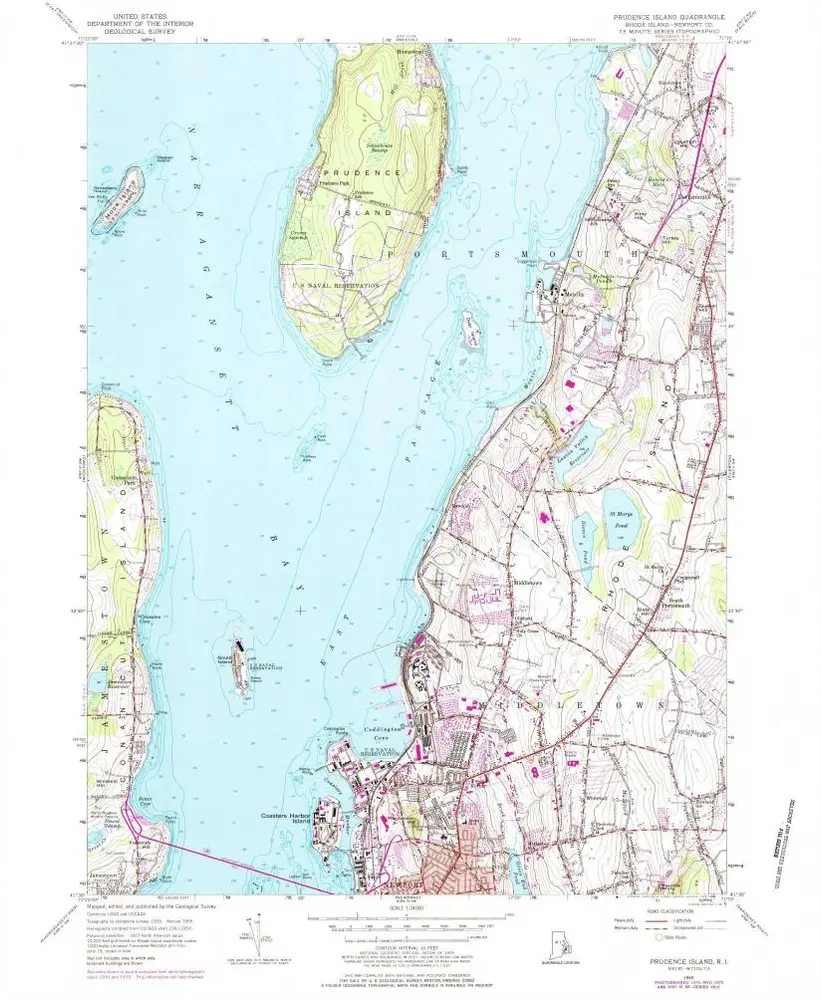
Prudence Island
1955
1:24k
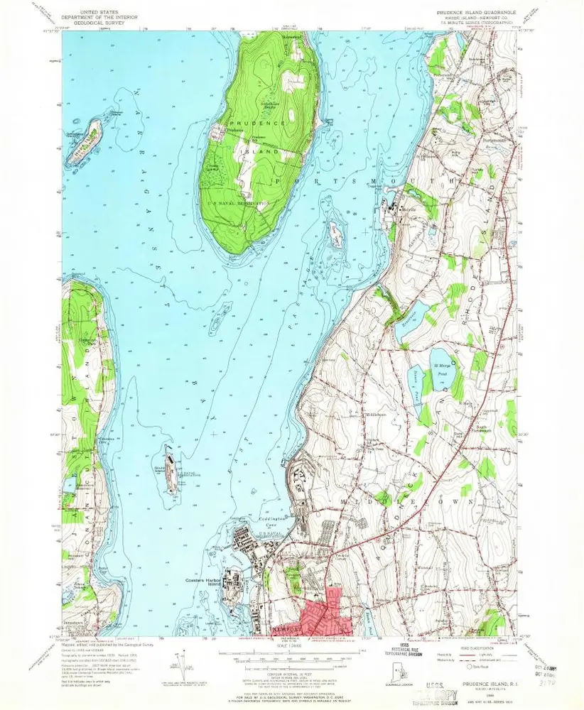
Prudence Island
1955
1:24k
Prudence Island
1955
1:24k
Prudence Island
1955
1:24k
Prudence Island
1955
1:24k
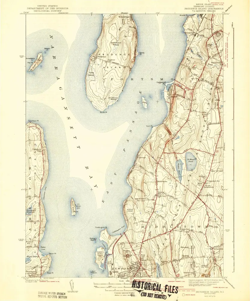
Prudence Island
1942
1:32k
Prudence Island
1942
1:32k
Prudence Island
1939
1:32k
A plan of the town of Newport in Rhode Island
1777
Blaskowitz, Charles
1:6k
Historia