Projet
Communauté
Actualités
Mon appli
Mes cartes
Katalogisierte Karte
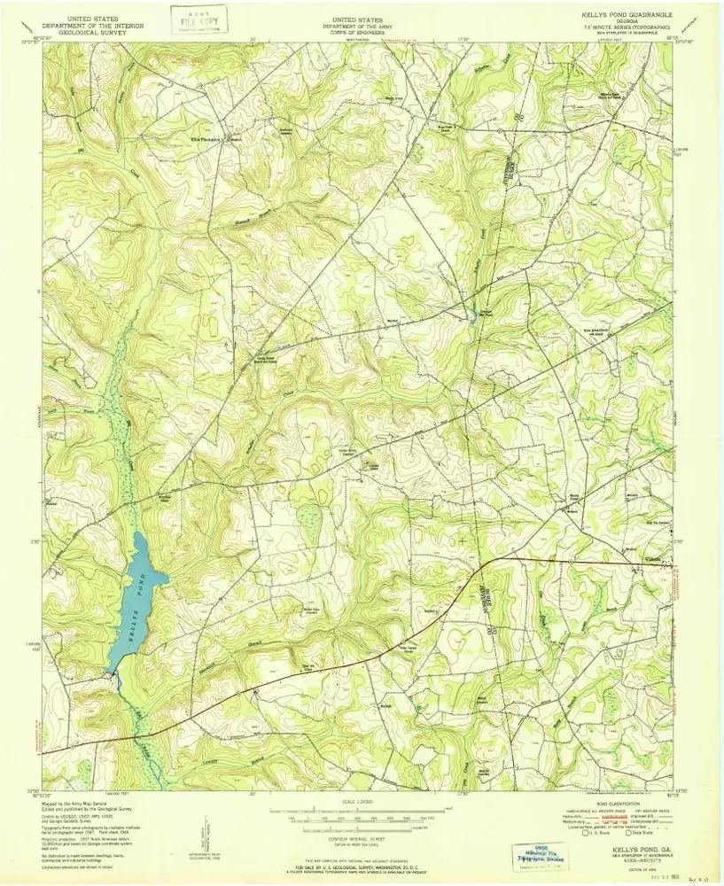
Kellys Pond
Voir sur le site web externe
Voir numérisé
Einrichtung:
United States Geological Survey
Vollständiger Titel:
Kellys Pond
Jahr der Abbildung:
1950
Maßstab der Karte:
1:24 000
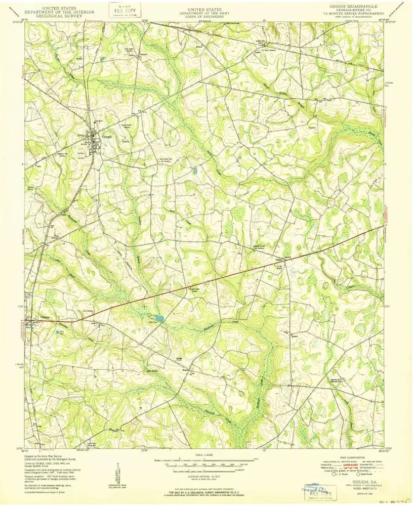
Gough
1950
1:24k
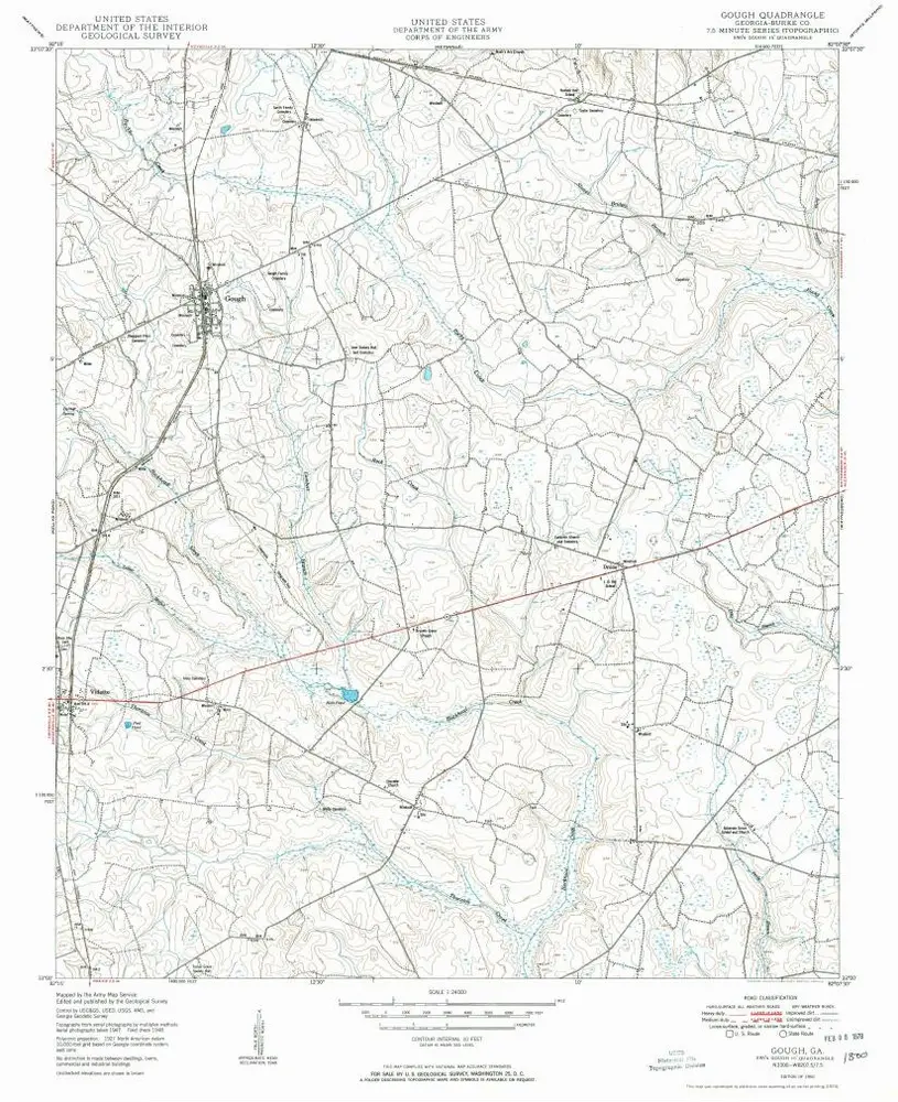
Gough
1950
1:24k
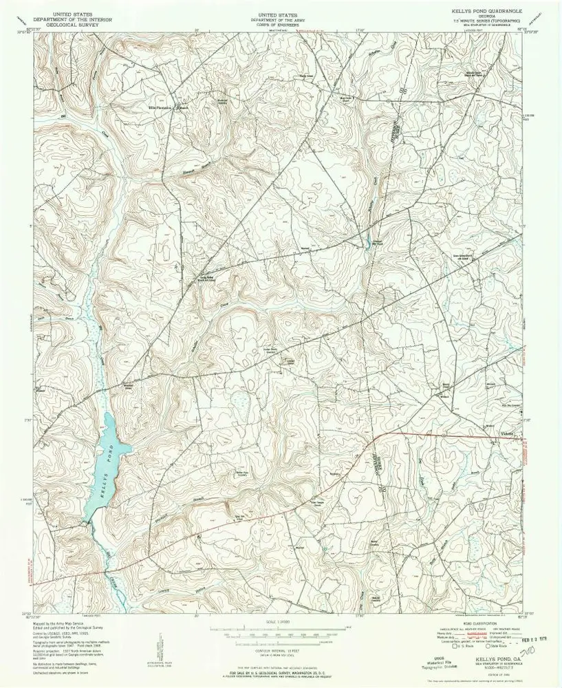
Kellys Pond
1950
1:24k
Kellys Pond
1950
1:24k
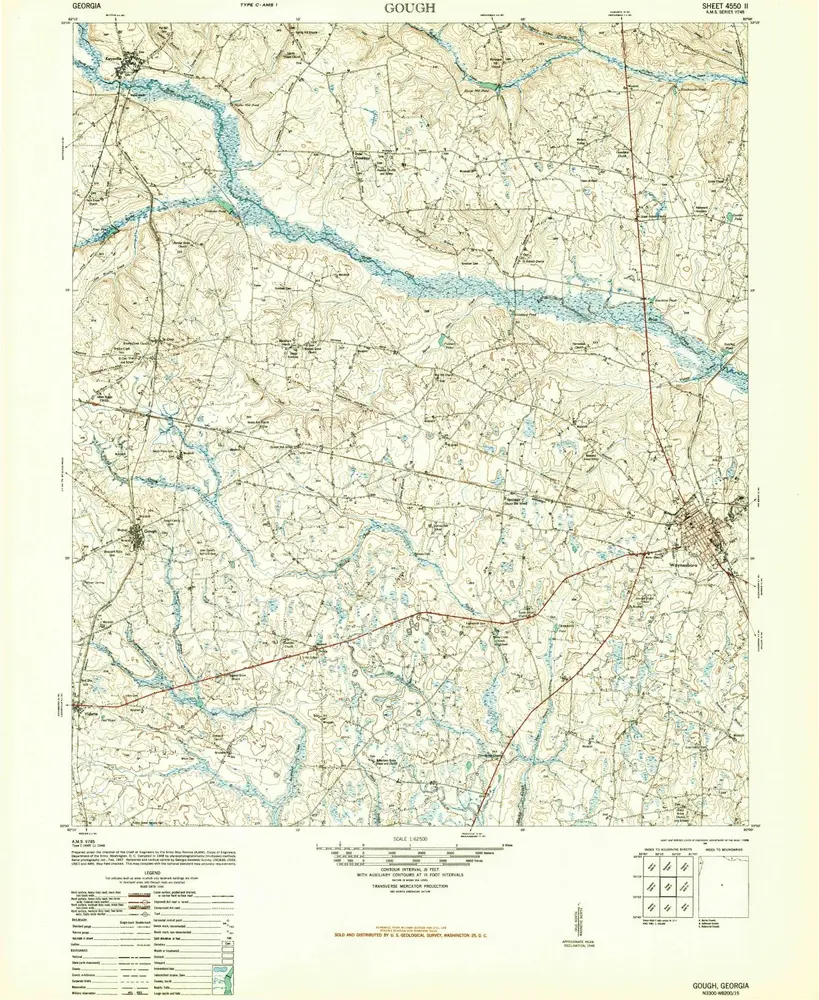
Gough
1948
1:63k
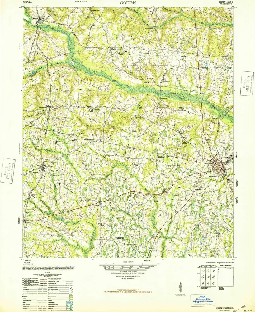
Gough
1948
1:63k
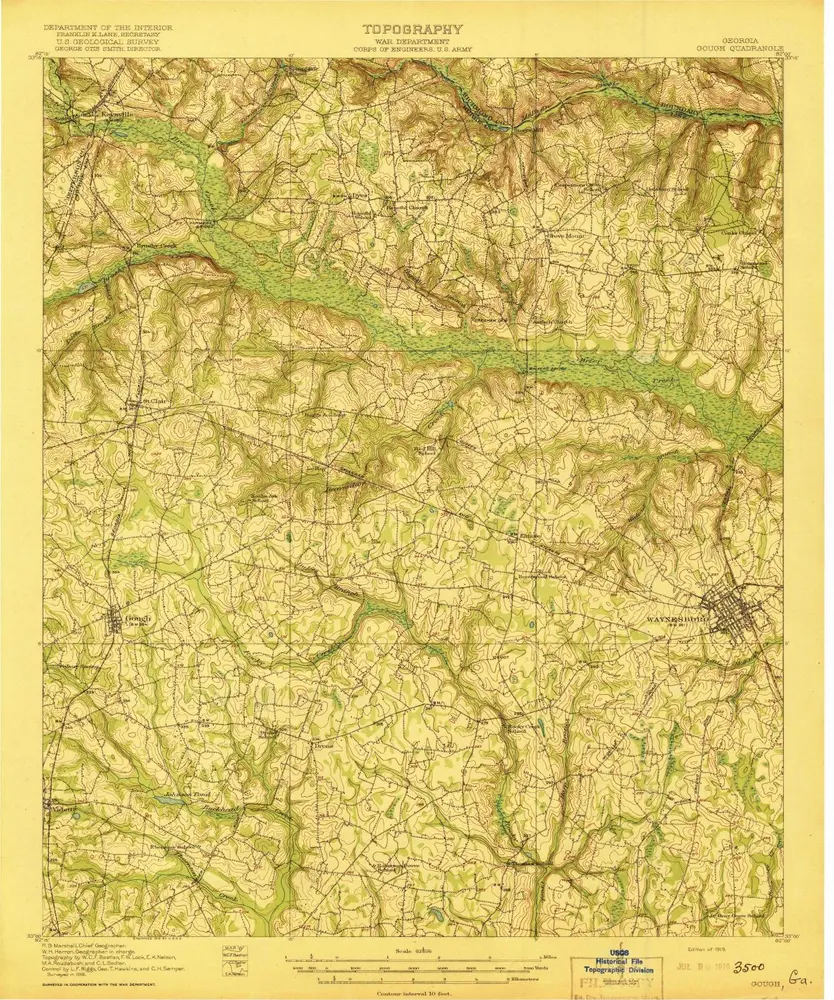
Gough
1919
1:63k
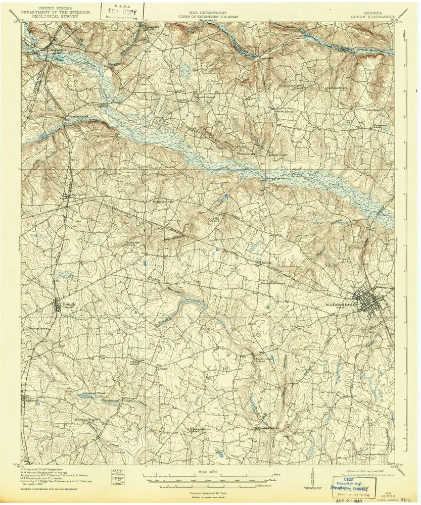
Gough
1919
1:63k
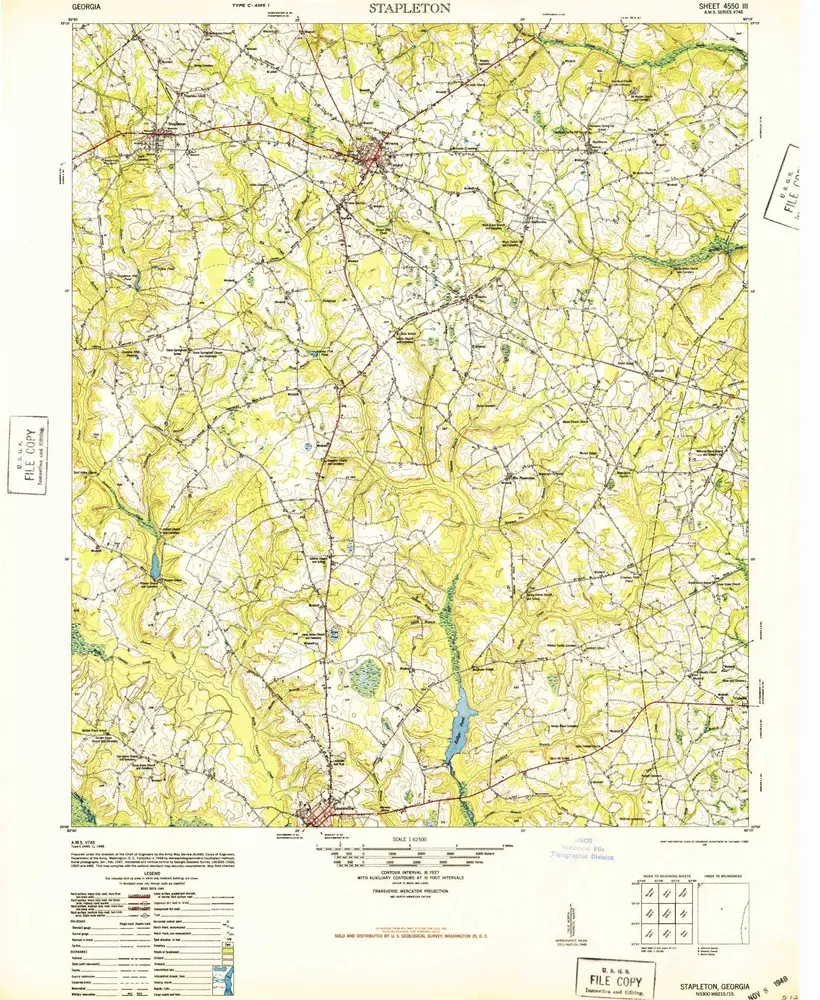
Stapleton
1948
1:63k
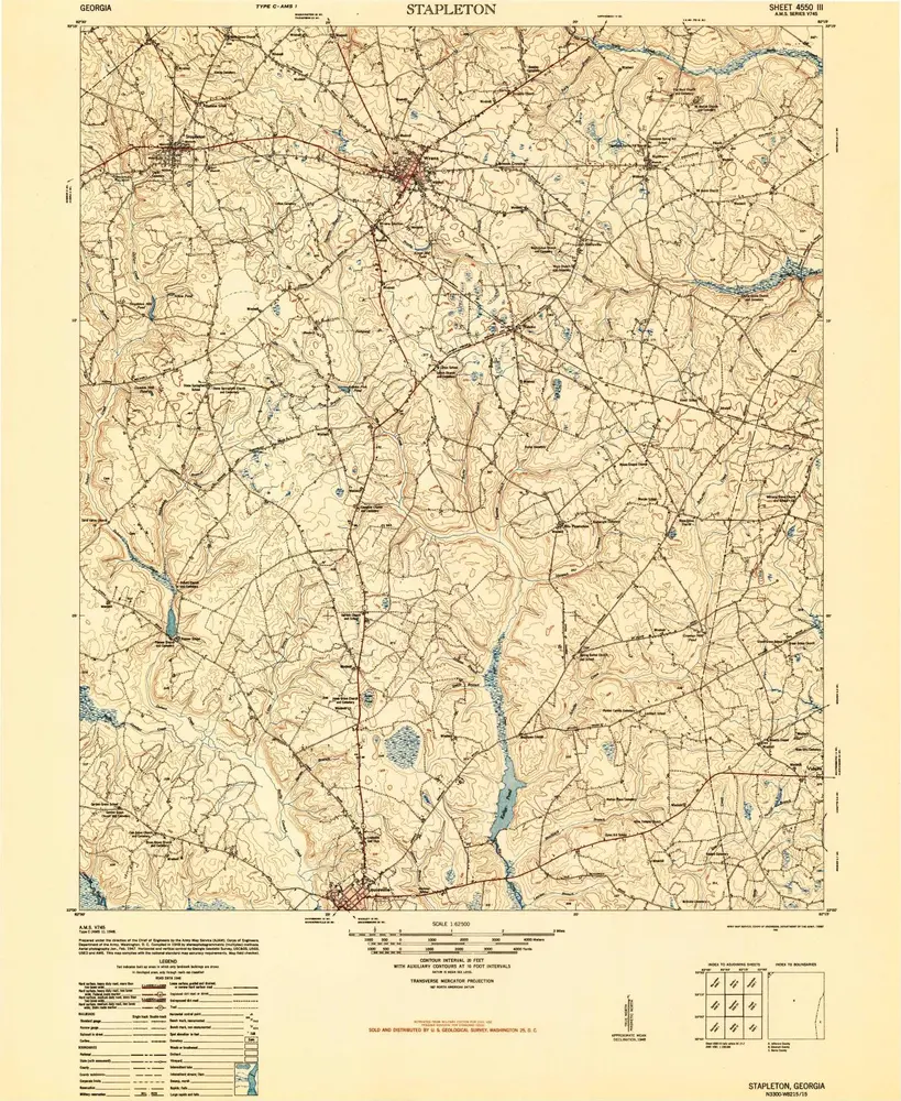
Stapleton
1948
1:63k
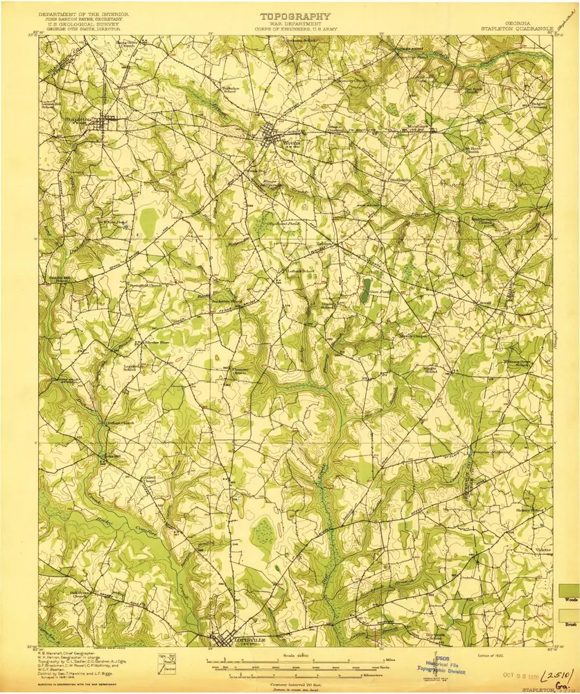
Stapleton
1920
1:63k
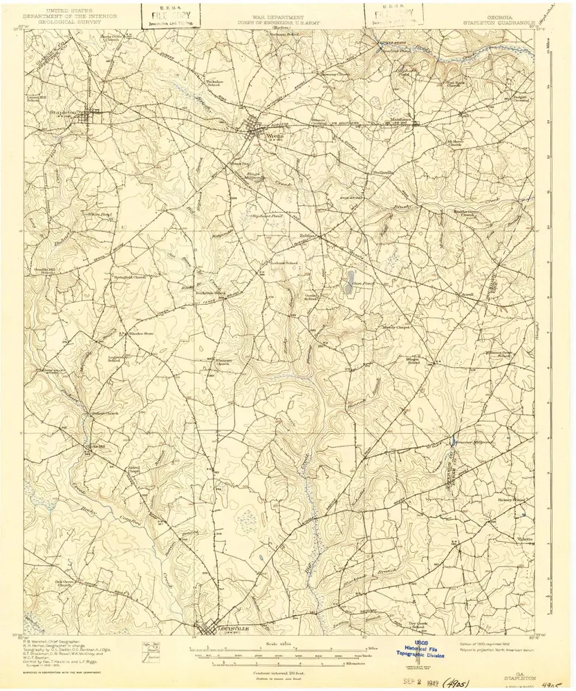
Stapleton
1920
1:63k
Geschichte