Projet
Communauté
Actualités
Mon appli
Mes cartes
Skatalogowana mapa
Monroe
Voir sur le site web externe
View digitized
Instytucja:
United States Geological Survey
Pełny tytuł:
Monroe
Rok ilustracji:
1965
Data publikacji:
1983
Skala mapy:
1:24 000
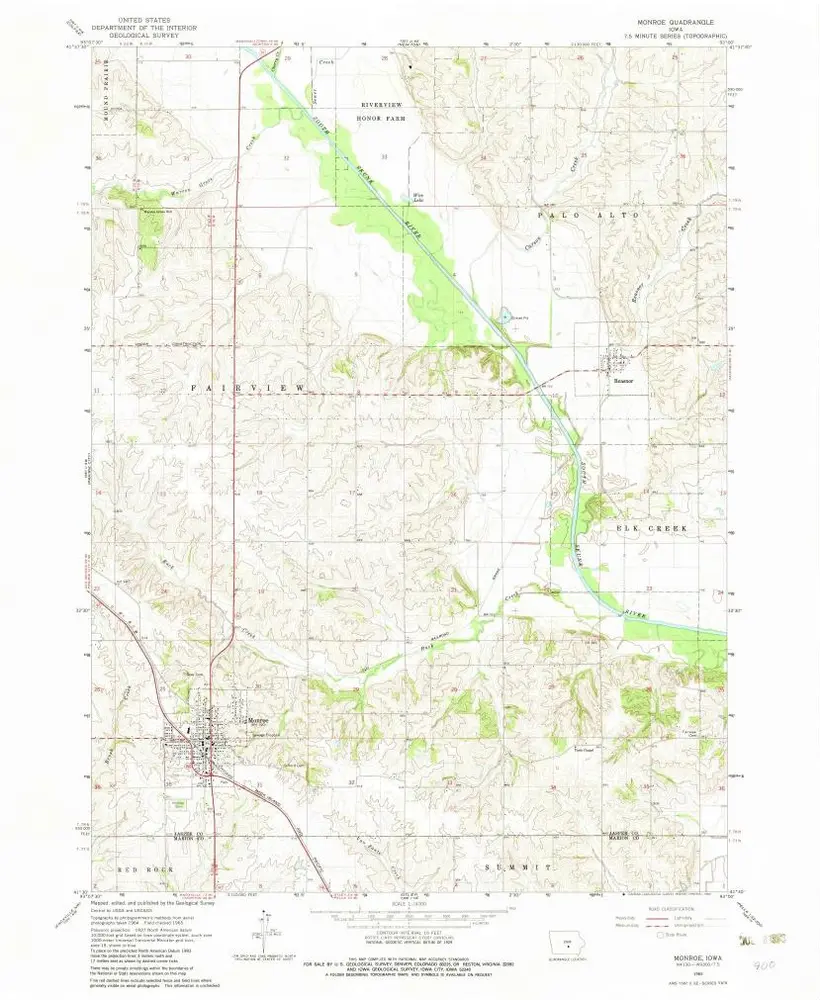
Monroe
1965
1:24k
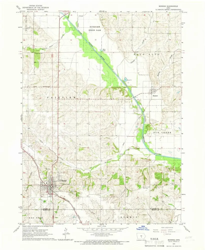
Monroe
1965
1:24k
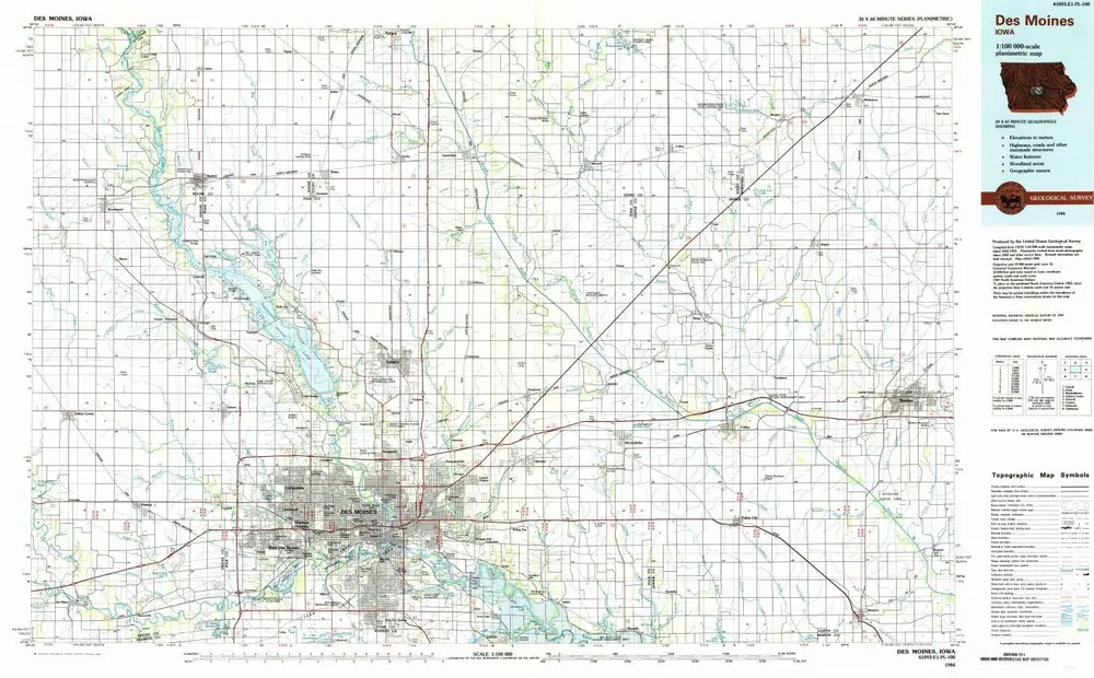
Des Moines
1984
1:100k
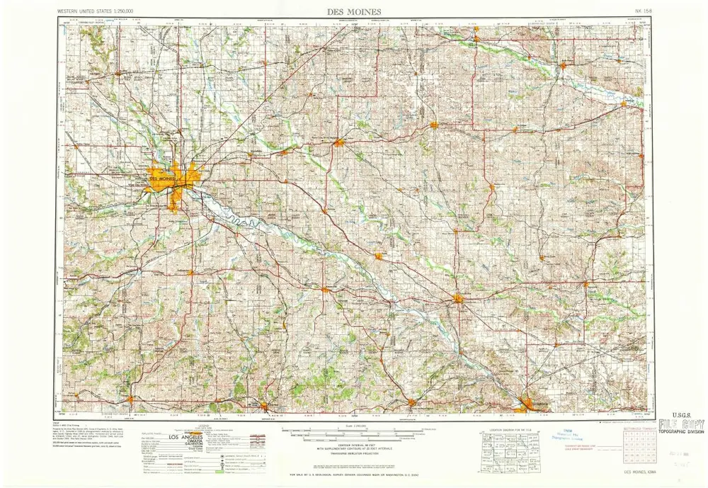
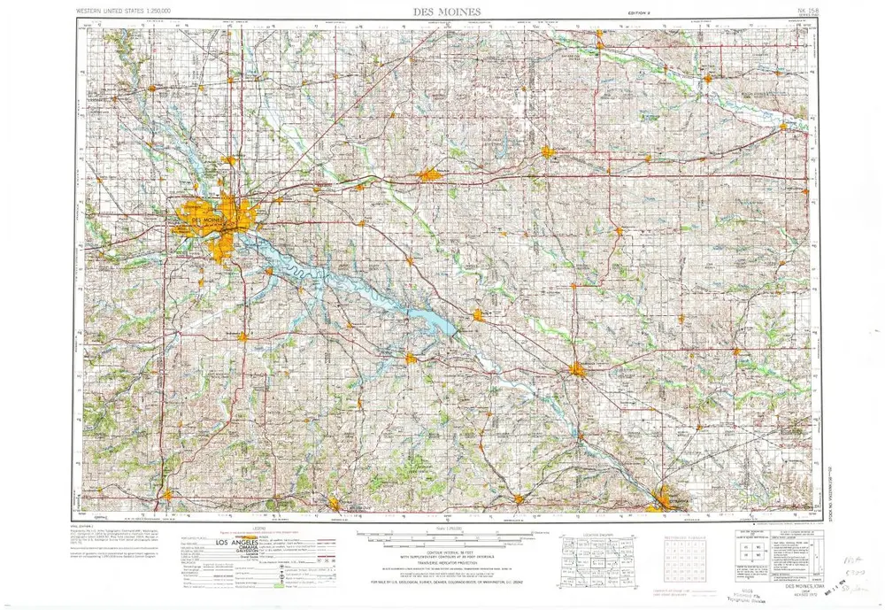
Des Moines
1969
1:250k
Des Moines
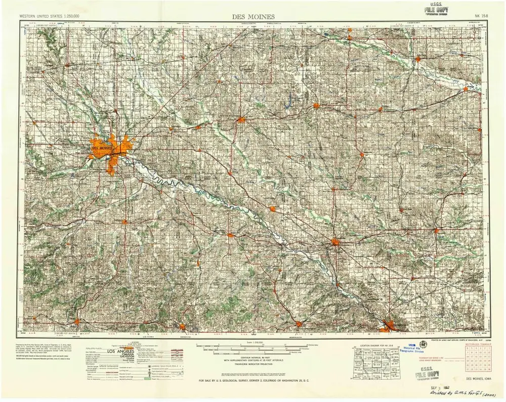
1957
1:250k
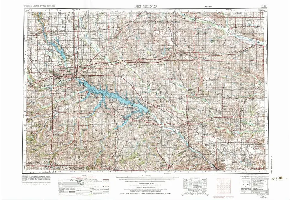
Des Moines
1954
1:250k
Des Moines
1954
1:250k
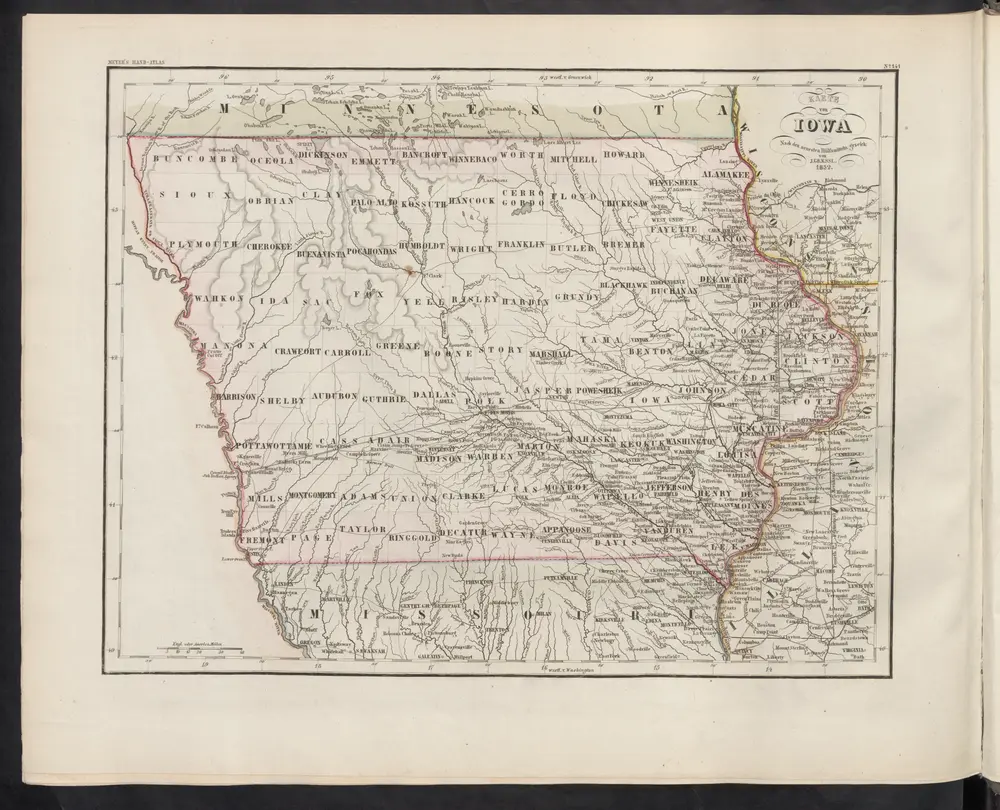
Iowa.
1842
Karte von Iowa
1860
Meyer, J.
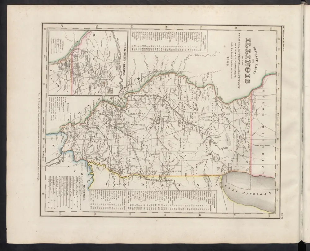
[Neueste Karte von Illionois mit seinen Strassen, Entfernungen der Hauptpunkte und Routen für Dampfschiffe]
1860
Meyer, J.
Historia