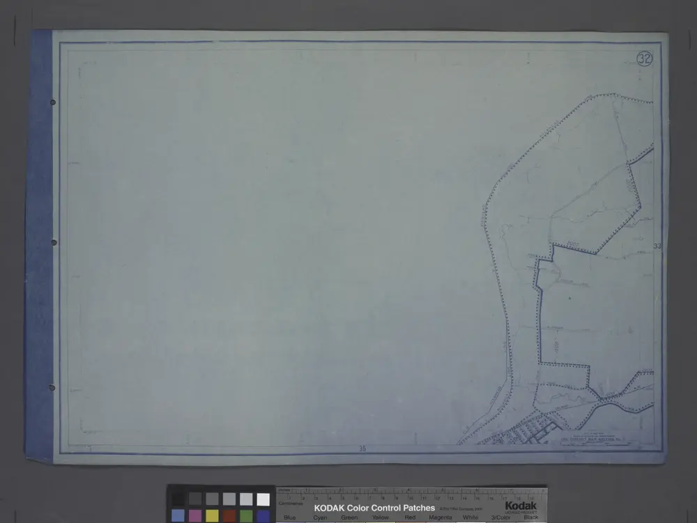
Gecatalogiseerde kaart
Use District Map Section No. 32; Use district map / City of New York, Board of Estimate and Apportionment.
Instelling:community
Volledige titel:Use District Map Section No. 32; Use district map / City of New York, Board of Estimate and Apportionment.
Jaar illustratie:1916
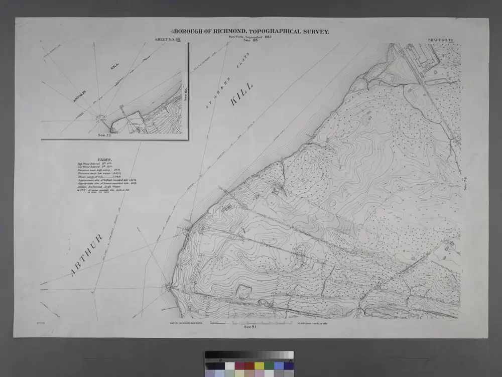
Sheet Nos. 73 & 65. [Sheet No. 65. IncludesFresh Kills Road and (Port Mobil.)- Sheet No. 73. [Includes International Ultra Marine Works.]; Borough of Richmond, Topographical Survey.
1913
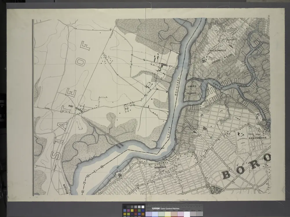
General map of the borough of Richmond (Staten Island) in the city of New York : showing in addition to the existing topographical features of the borough a tentative and preliminary plan for a street system of the same.
1901
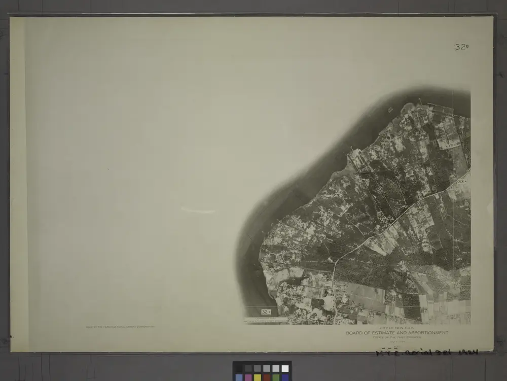
32B - N.Y. City (Aerial Set).
1924
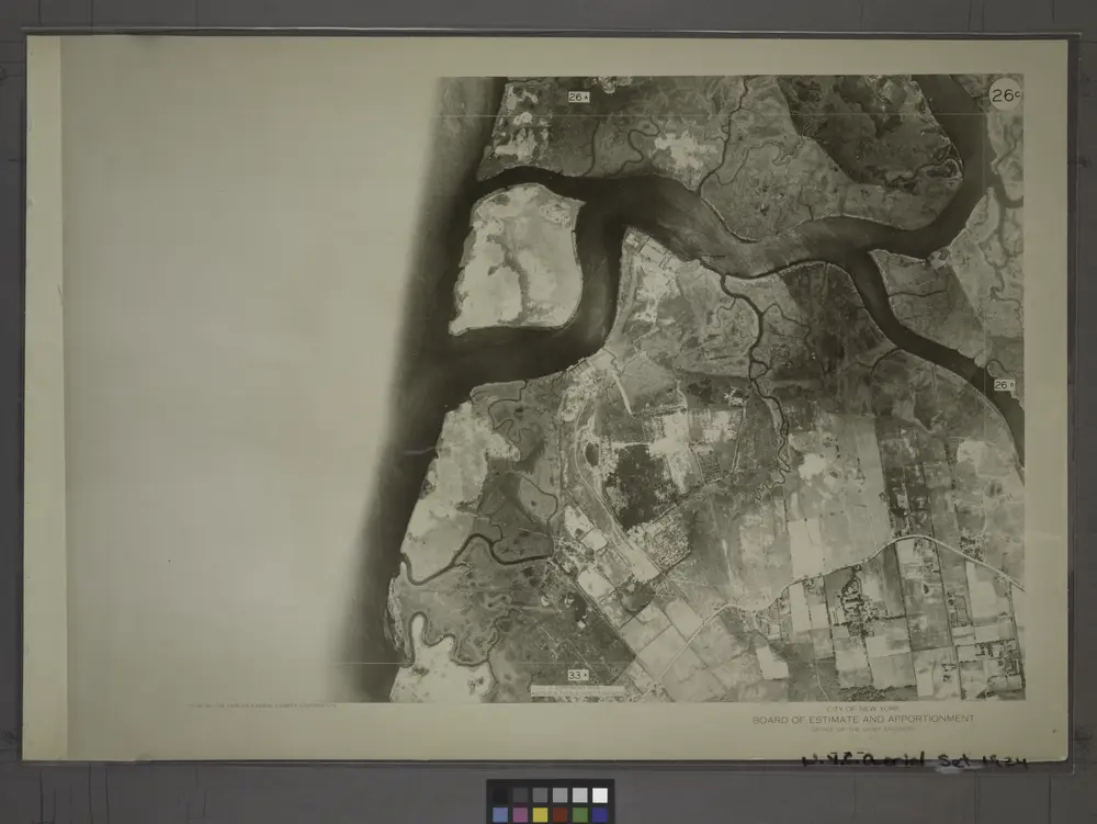
26C - N.Y. City (Aerial Set).
1924
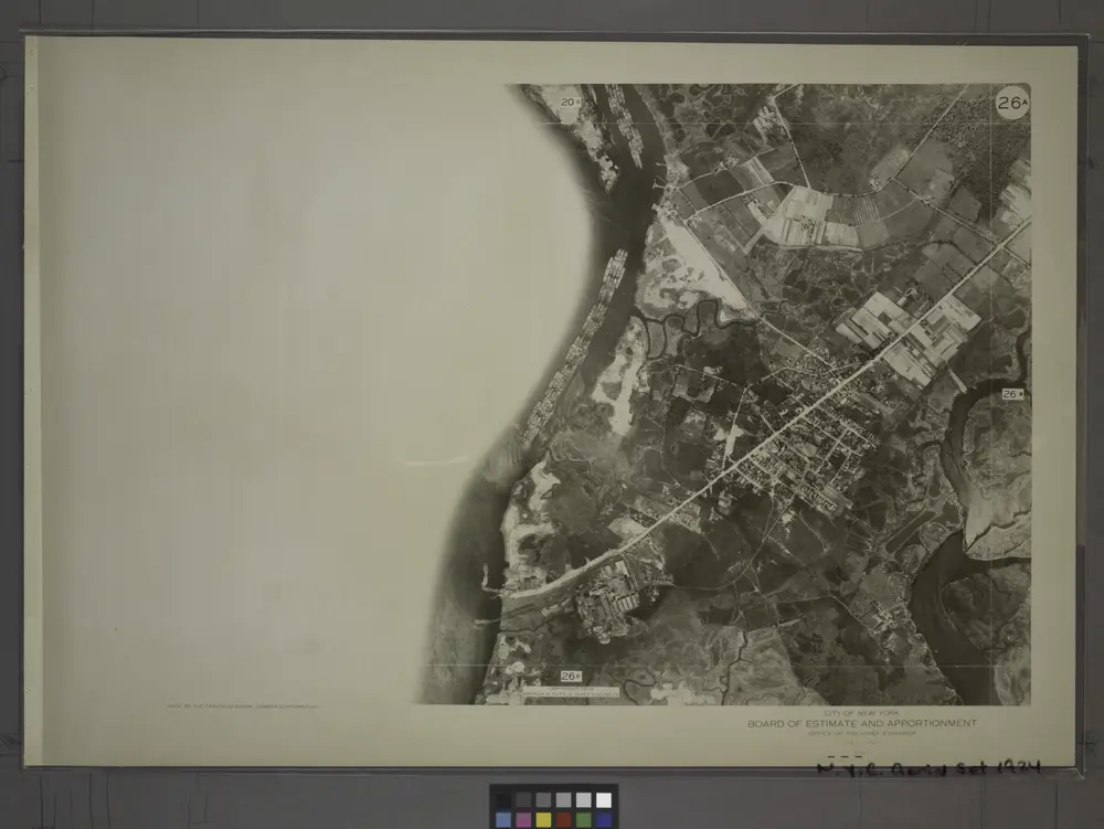
26A - N.Y. City (Aerial Set).
1924
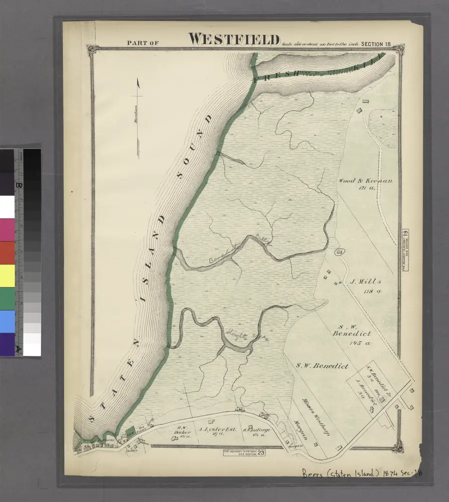
Section 18
1874
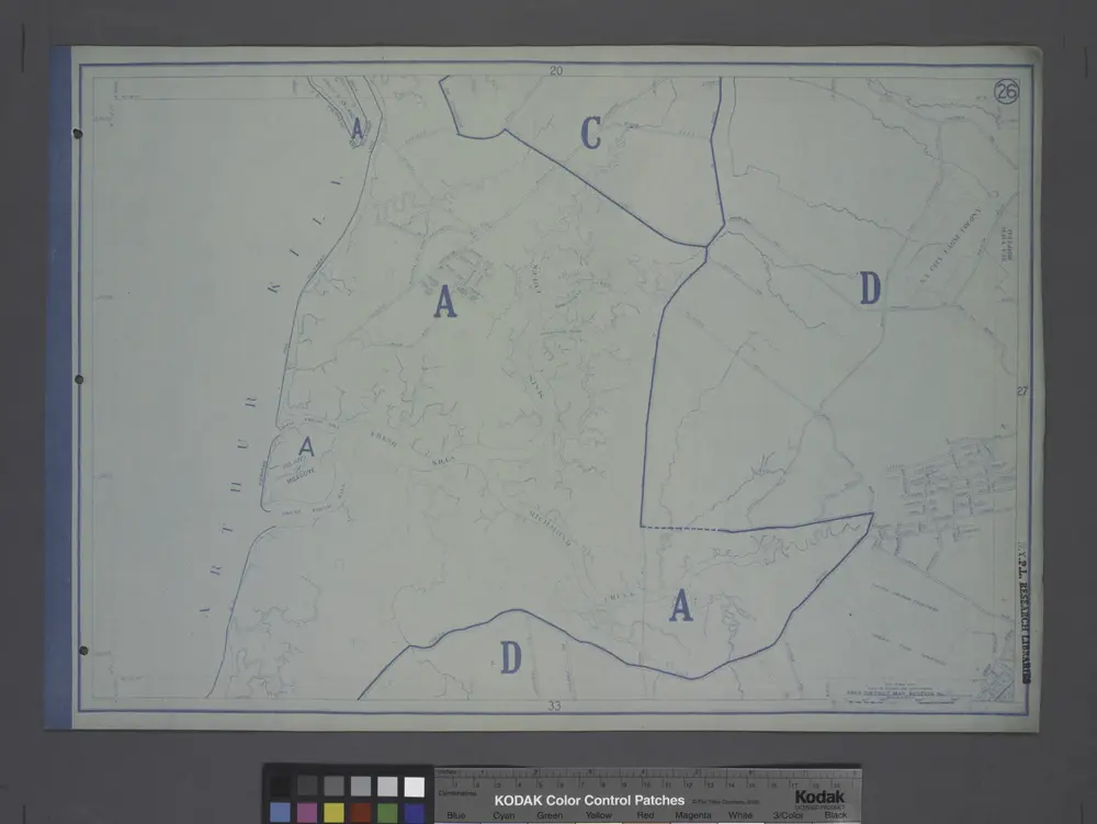
Area District Map Section No. 26
1916
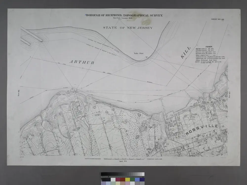
Sheet No. 66. [Includes Winant Avenue, St. Lukes Avenue,Rossville Avenue and (Arthur Kills Road) Fresh Kills Road in Rossville.]; Borough of Richmond, Topographical Survey.
1913
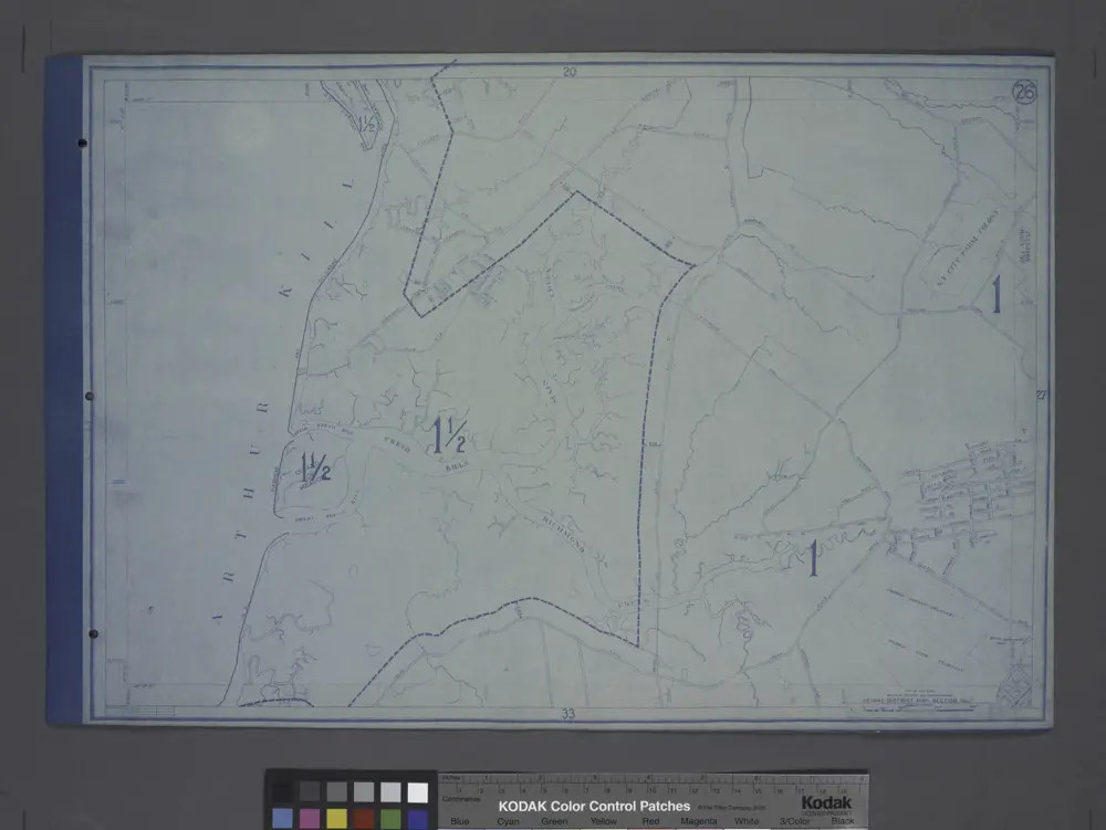
Height District Map Section No. 26; Height district map / City of New York, Board of Estimate and Apportionment.
1916
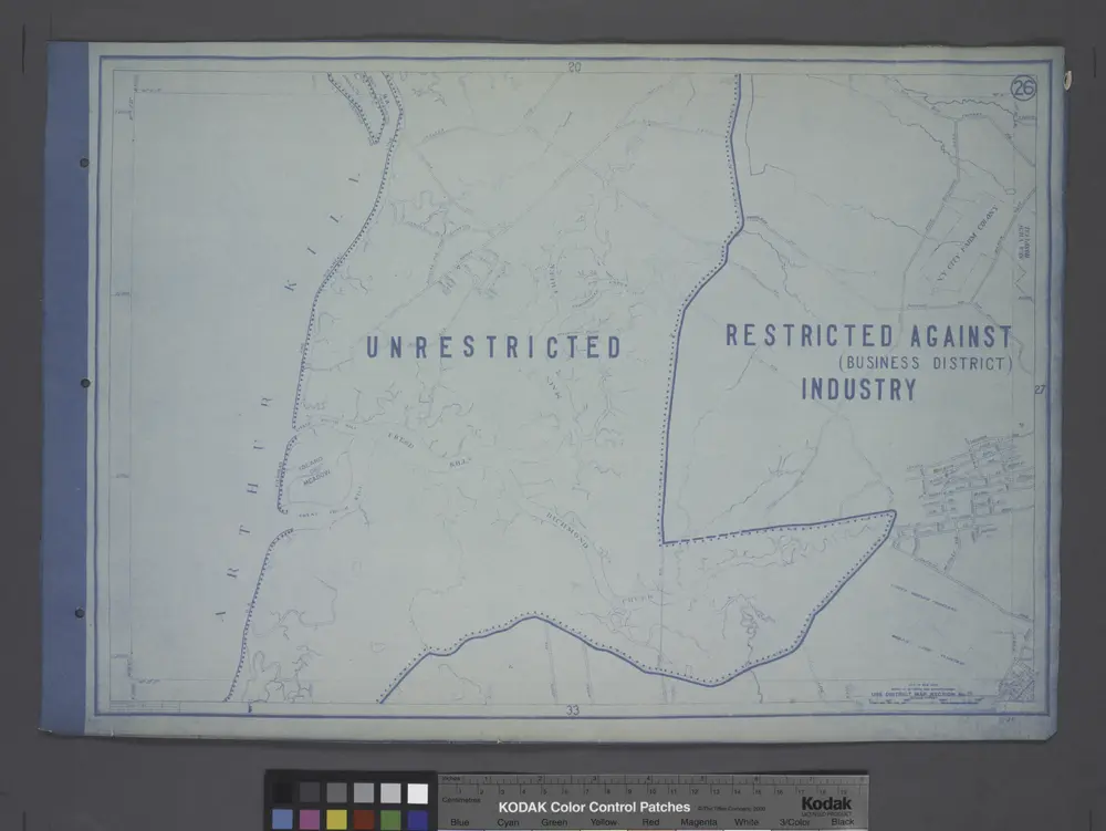
Use District Map Section No. 26; Use district map / City of New York, Board of Estimate and Apportionment.
1916


