Proyecto
Comunidad
Noticias
Mi aplicación
Mis mapas
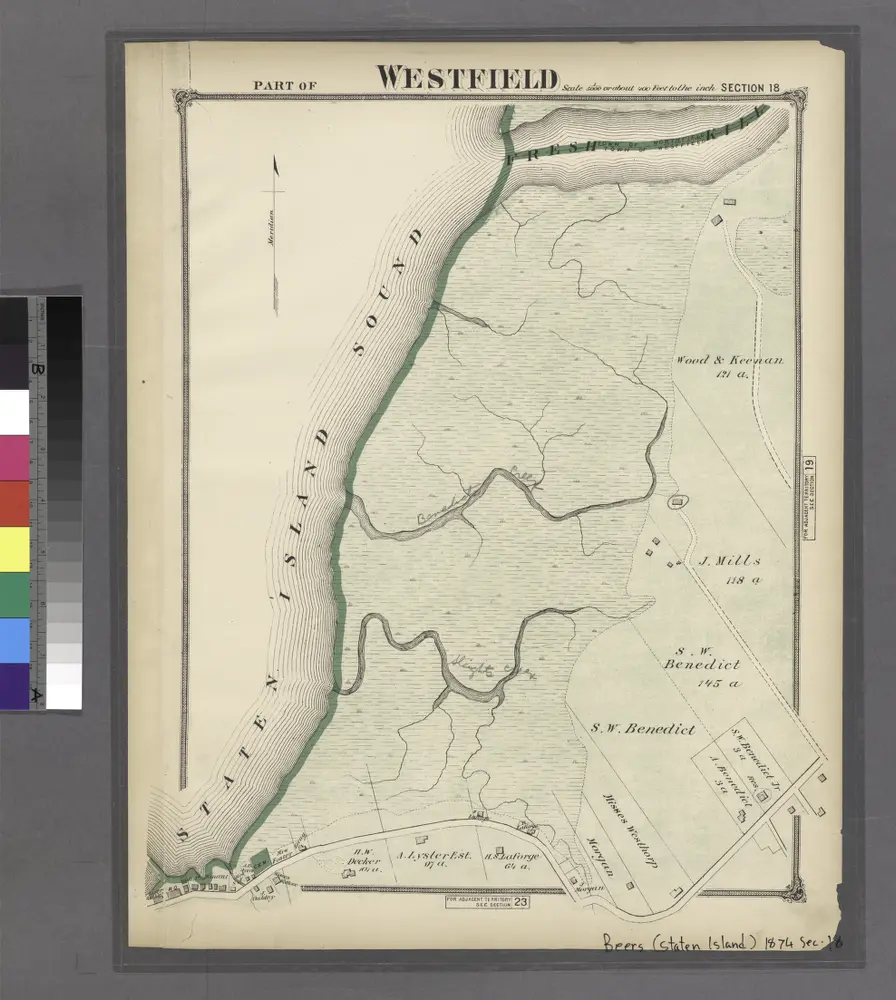
Mapa catalogado
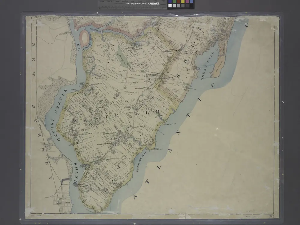
Section 18
Ver en sitio web externo
Institución:
New York Public Library
Título completo:
Section 18
Año de ilustración:
1874
Catálogo
New York Public Library
maps.nypl.org
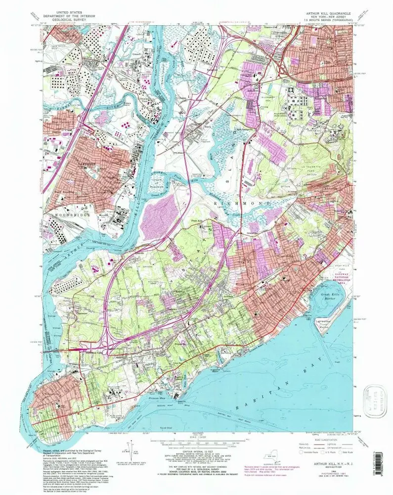
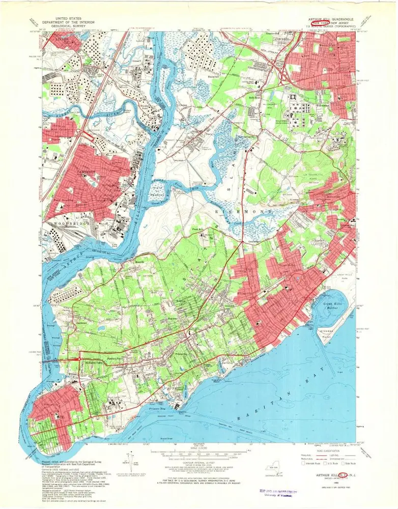
Arthur Kill
1966
1:24k
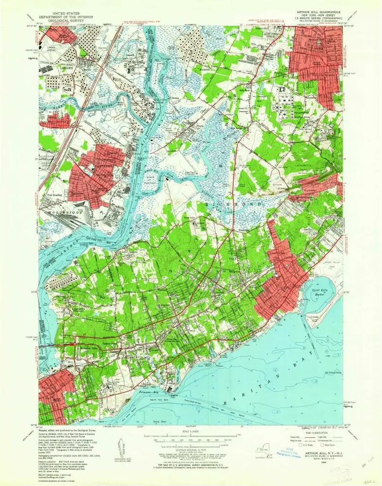
Arthur Kill
1966
1:24k
Arthur Kill
1966
1:24k
Arthur Kill
1966
1:24k
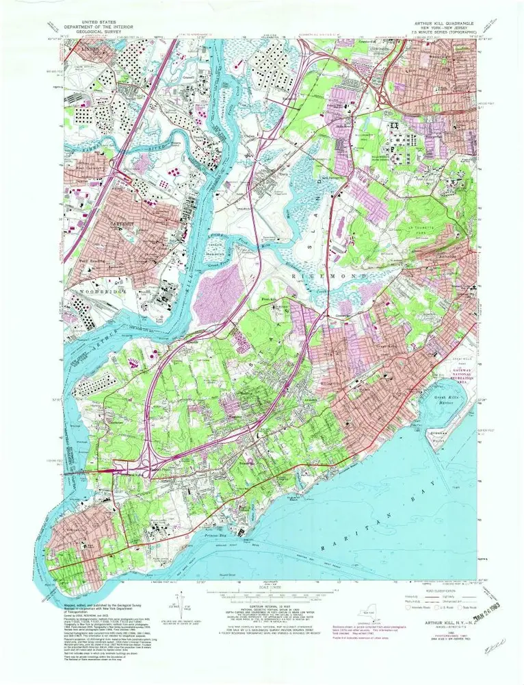
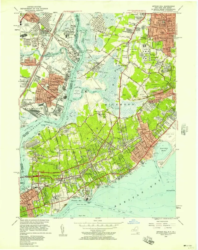
Arthur Kill
1955
1:24k
Arthur Kill
1955
1:24k
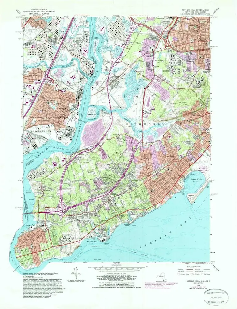
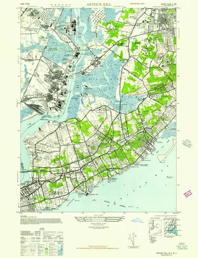
Arthur Kill
1947
1:24k
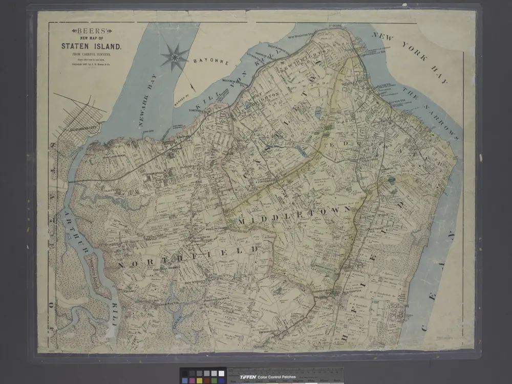
New map of Staten Island
1887
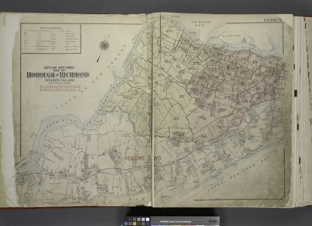
Outline & Index Map of The Borough of Richmond (Staten Island); Explanation; Note.
1917
New map of Staten Island
1887
Historia