Proyecto
Comunidad
Noticias
Mi aplicación
Mis mapas
Carte cataloguée
Clanton East
Ver en sitio web externo
View digitized
Institution:
United States Geological Survey
Titre complet:
Clanton East
Année de l'image:
1972
Date de publication:
1974
Échelle de la carte:
1:24 000
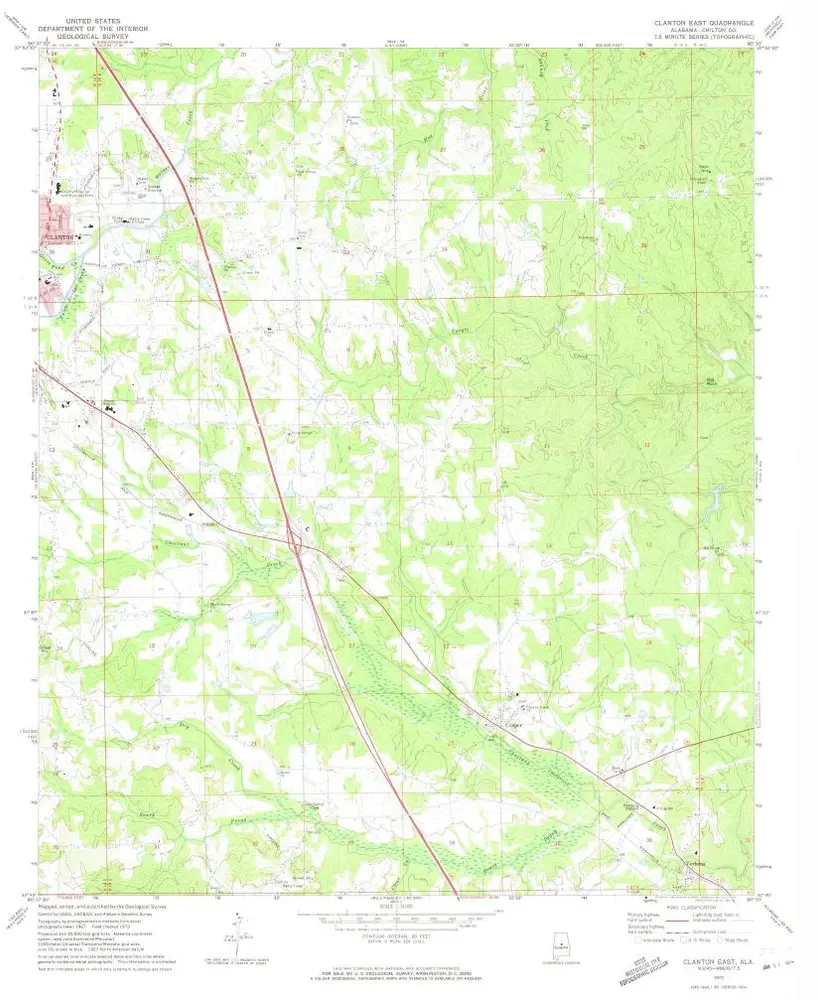
Clanton East
1972
1:24k
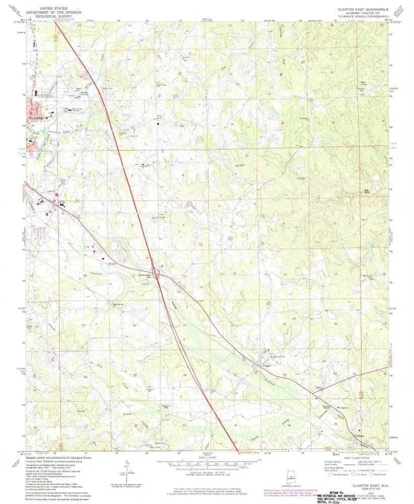
Clanton East
1972
1:24k
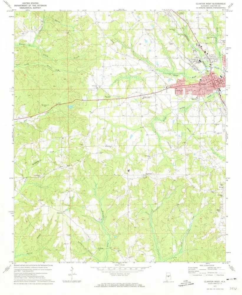
Clanton West
1972
1:24k
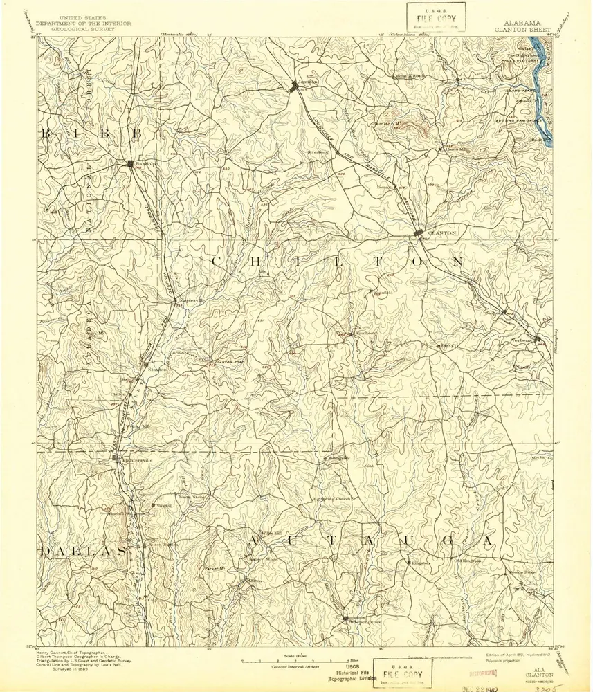
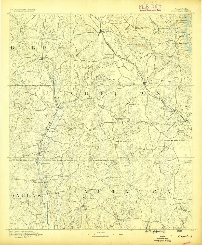
Clanton
1891
1:125k
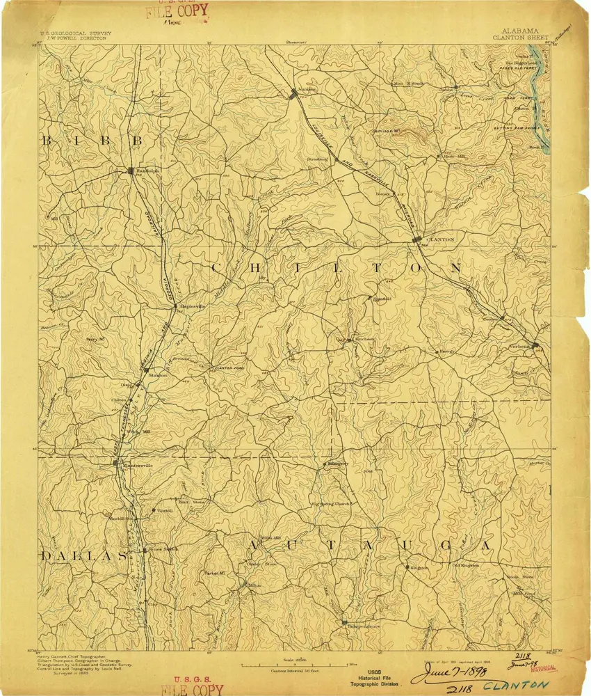
Clanton
1891
1:125k
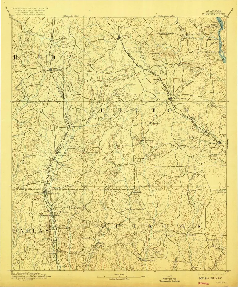
Clanton
1891
1:125k
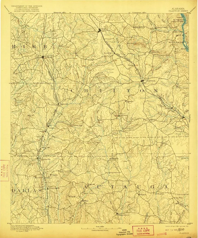
Clanton
1891
1:125k
Clanton
1891
1:125k
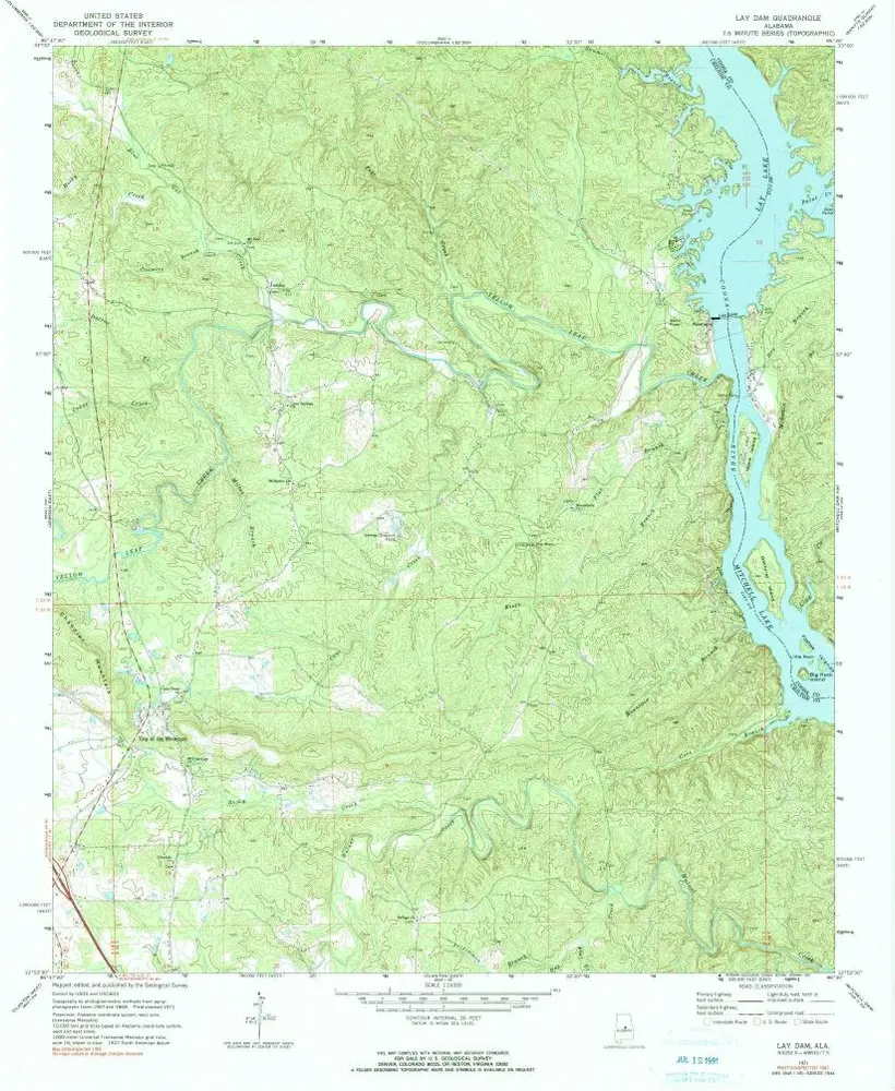
Lay Dam
1971
1:24k
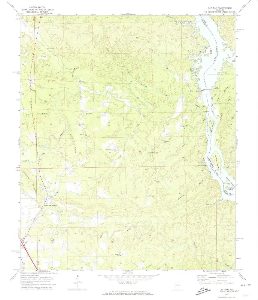
Lay Dam
1971
1:24k
L'histoire