Proyecto
Comunidad
Noticias
Mi aplicación
Mis mapas
Cataloged map
Wahpeton
Ver en sitio web externo
Ver digitalizado
Institution:
United States Geological Survey
Full title:
Wahpeton
Depicted:
1985
Pubdate:
1986
Map scale:
1:100 000
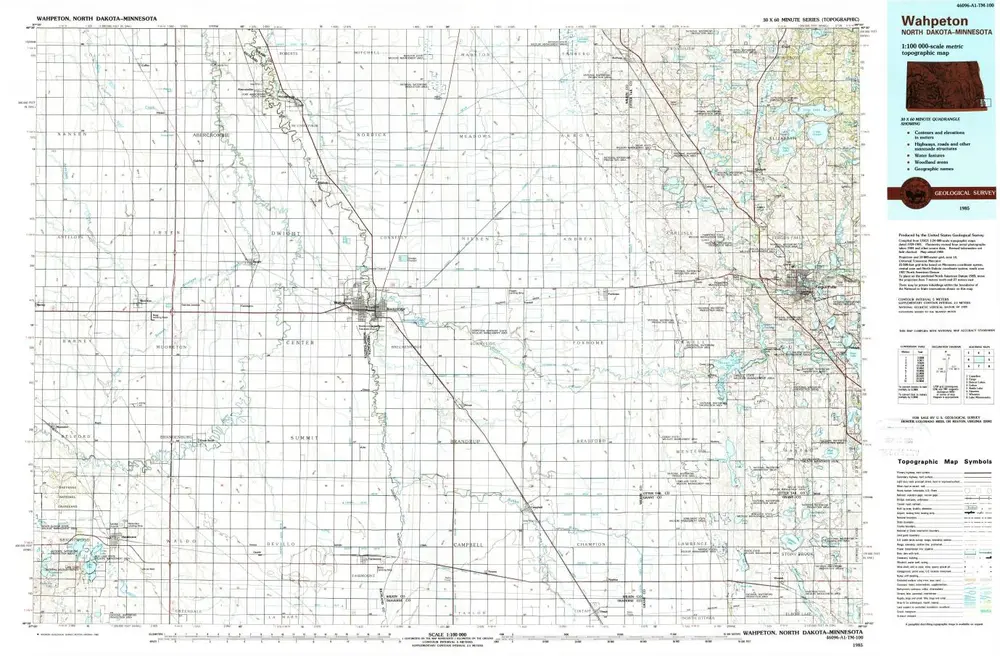
Wahpeton
1985
1:100k
Wahpeton
1985
1:100k
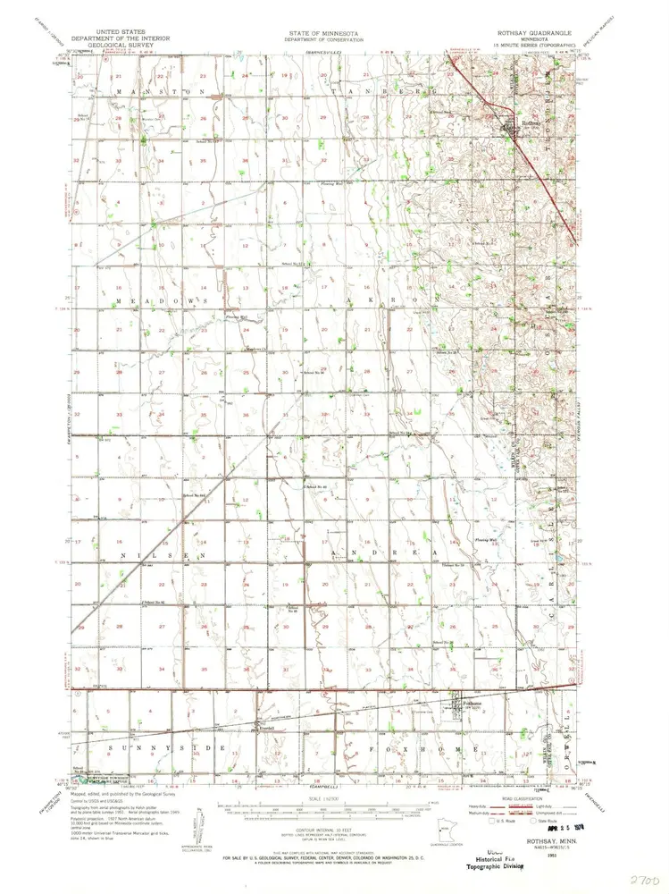
Rothsay
1951
1:63k
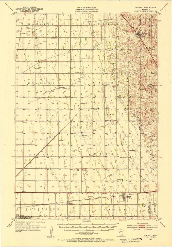
Rothsay
1951
1:63k
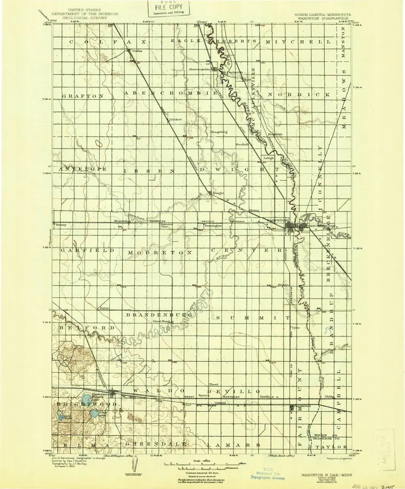
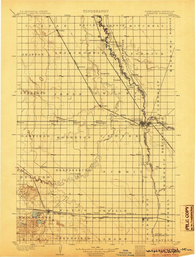
Wahpeton
1904
1:125k
Wahpeton
1904
1:125k
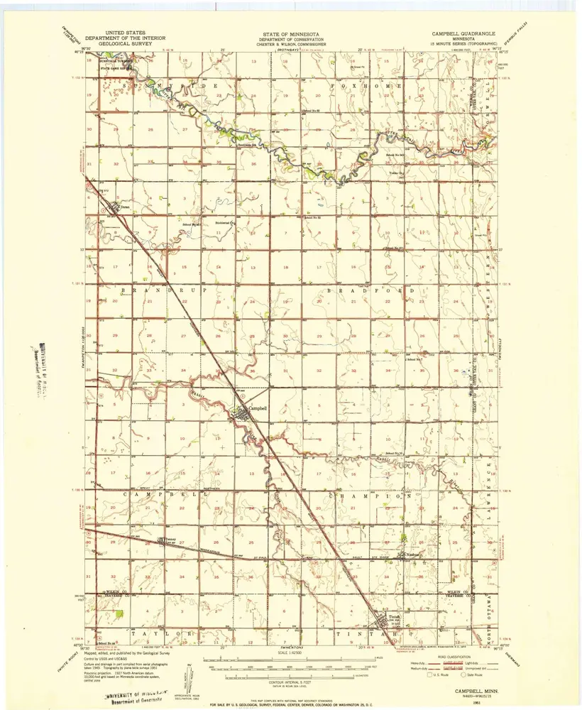
Campbell
1951
1:63k
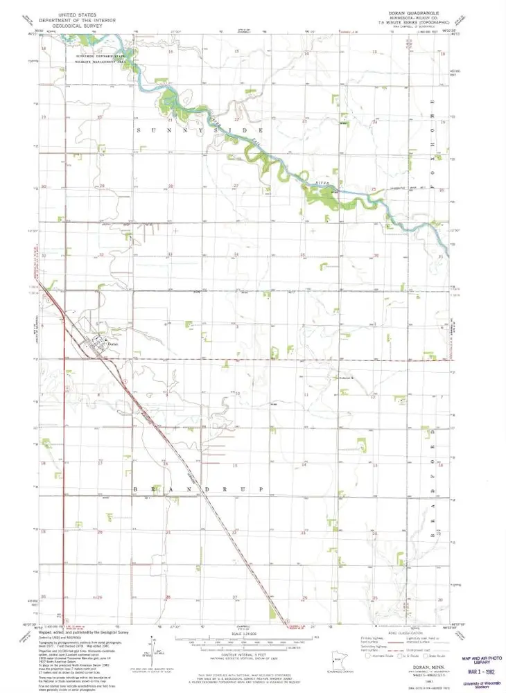
Doran
1981
1:24k
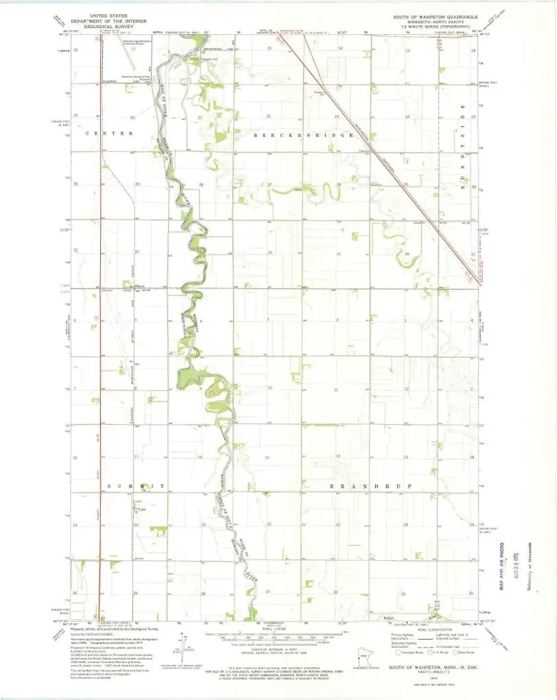
South of Wahpeton
1973
1:24k
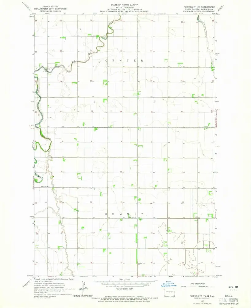
Fairmount NW
1964
1:24k
History