Compara

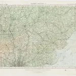
Sheet 9 Eastern Counties (S.), uit: Maps of England & Wales : scale 4 miles to 1 inch / Ordnance Survey
titelvariant: Maps of England and Wales; Annotatie: Titel op cassette; Met bladoverzicht op de achterzijde van de cassette; Annotatie geografische gegevens: Hoogtelijneninterval 200 ft
GeoplazaOrdnance Survey, United Kingdom
1919
Southampton : Ordnance Survey Office
1:253 440

