3D

Ruthin
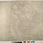
This plan covers a section of the Cambrian Mountains from Denbigh in the Vale of Clwyd, at the top, to the valley of the River Dee, which forms a boundary at the bottom right of the map. The drawing is formally titled and the area of the land recorded as 181.1792 square miles. Archaeological sites are named in gothic script. Colour washes depicting relief are combined with numerical annotations of altitude ('spot heights') in black ink. A key to interpreting the mineral content of the landscape survives just below the area calculation table. Entitled 'Mineral Notives', it uses symbols to distinguish limestone, red sandstone, greywacke slate and alluvium. Declivity ('downward tilts') in the land are shown in red by an arrow and angular value.
The British Library1819

