Documento

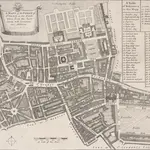
A MAPP of the PARISH of ST GILES'S in the Fields taken from the last Servey, with Corrections and Additions 1-A
Plan of the parish of St Giles's from the 1720 edition of Stowe's Survey of England. The plan features title in banner at top left, reference table down the right side of the plate, with compass and scale bar at bottom left. The boundaries of the parish are indicated by a pecked line.
The British LibraryBlome, Richard
1720
1686

